Aberdyar

Settlement in Carmarthenshire

Wales

Aberdyar

Ordnance Survey Cut Mark This OS cut mark can be found on the wall at the entrance to Gellideg. It marks a point 123.938m above mean sea level.
Ordnance Survey Cut Mark Credit: Adrian Dust

Aberdyar is a small village located in Carmarthenshire, a picturesque county in Wales, United Kingdom. Situated in the beautiful Tywi Valley, Aberdyar is surrounded by lush green hills, offering breathtaking views of the countryside.

The village is known for its traditional Welsh charm, with stone cottages and narrow lanes, adding to its quaint and peaceful atmosphere. The community in Aberdyar is tight-knit and welcoming, with a population of around 300 residents.

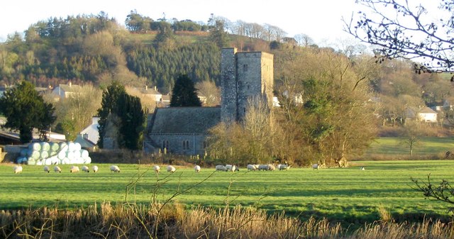
Aberdyar is rich in history, with evidence of human settlement dating back to the Roman era. The village boasts a number of historic landmarks, including the medieval St. Tydiwg's Church, which is believed to have been built in the 13th century. The church's impressive architecture and ancient gravestones attract history enthusiasts from near and far.

Nature lovers will find plenty to explore in Aberdyar, as the village is surrounded by stunning natural landscapes. The nearby Tywi Forest offers numerous walking trails, where visitors can immerse themselves in the beauty of the Welsh countryside. Additionally, the Tywi River, which flows through the village, provides opportunities for fishing and boating.

Although Aberdyar is a small village, it is well-connected to the larger towns and cities in Carmarthenshire. The village has a local pub, where residents and visitors can enjoy a drink and socialize, creating a sense of community spirit.

Overall, Aberdyar is a hidden gem in Carmarthenshire, offering a peaceful retreat for those seeking to escape the hustle and bustle of city life, while also providing a gateway to explore the natural beauty and history of the region.

If you have any feedback on the listing, please let us know in the comments section below.
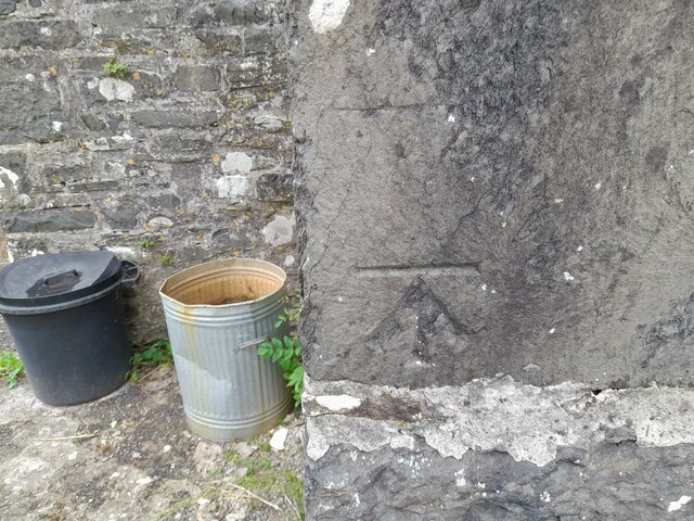
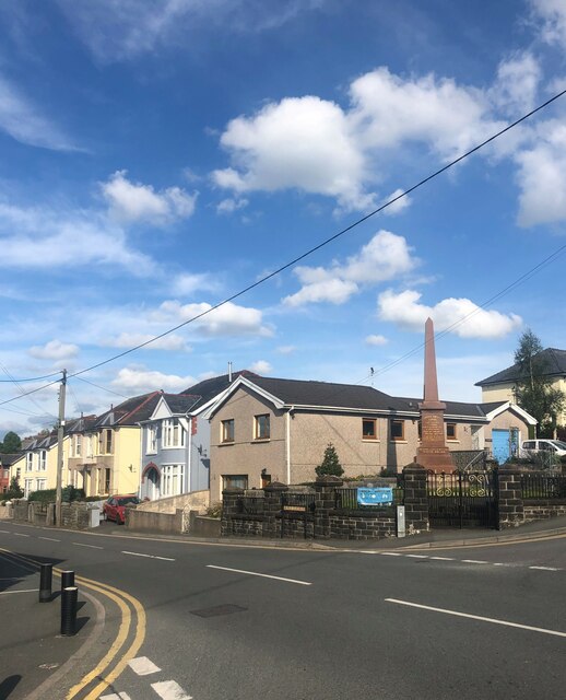
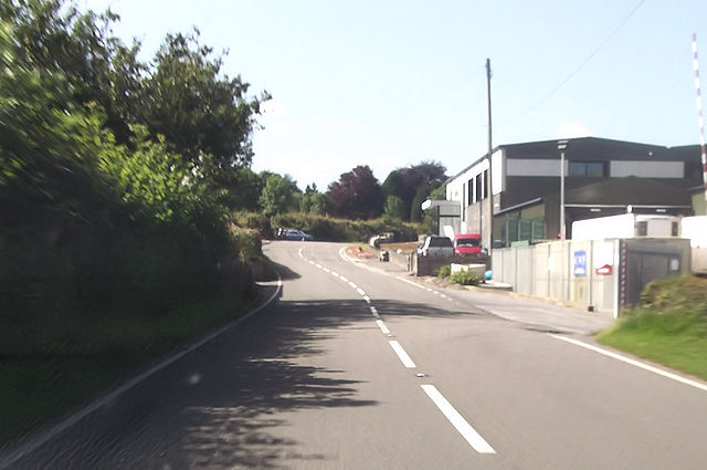
Aberdyar Images

Images are sourced within 2km of 52.074529/-4.1609085 or Grid Reference SN5244. Thanks to Geograph Open Source API. All images are credited.

Ordnance Survey Cut Mark This OS cut mark can be found on the wall at the entrance to Gellideg. It marks a point 123.938m above mean sea level.
Ordnance Survey Cut Mark
This OS cut mark can be found on the wall at the entrance to Gellideg. It marks a point 123.938m above mean sea level.
Ordnance Survey Cut Mark This OS cut mark can be found on Maes-y-meillion. It marks a point 106.788m above mean sea level.
Ordnance Survey Cut Mark
This OS cut mark can be found on Maes-y-meillion. It marks a point 106.788m above mean sea level.
Ordnance Survey Cut Mark This almost covered OS cut mark can be found on Pontbren-du. It marks a point 100.579m above mean sea level.
Ordnance Survey Cut Mark
This almost covered OS cut mark can be found on Pontbren-du. It marks a point 100.579m above mean sea level.
Ordnance Survey Cut Mark This OS cut mark can be found on Ty'n-ffynnon. It marks a point 106.590m above mean sea level.
Ordnance Survey Cut Mark
This OS cut mark can be found on Ty'n-ffynnon. It marks a point 106.590m above mean sea level.
Ordnance Survey Cut Mark This OS cut mark can be found on the ruin NW side of the road. It marks a point 116.485m above mean sea level.
Ordnance Survey Cut Mark
This OS cut mark can be found on the ruin NW side of the road. It marks a point 116.485m above mean sea level.
Ordnance Survey Cut Mark This OS cut mark can be found on the south angle of St Patr1ck's Church. It marks a point 143.086m above mean sea level.
Ordnance Survey Cut Mark
This OS cut mark can be found on the south angle of St Patr1ck's Church. It marks a point 143.086m above mean sea level.
War Memorial, Llanybydder At the junction of Heol Llanbedr and Heol Llansawel
War Memorial, Llanybydder
At the junction of Heol Llanbedr and Heol Llansawel
The Red Lion, Pencarreg
A485 passing Dunbia meat processing plant
Llanybydder centre From A485
Llanybydder centre
From A485
A485 south of Llanybydder The wall in the distance is a bridge across the stream. taken from just south of Heol Glantren junction
A485 south of Llanybydder
The wall in the distance is a bridge across the stream. taken from just south of Heol Glantren junction
A485 from entrance to Bwlchygwynt
A485 west of Bwlchygwynt entrance
Capel Undodaidd & burial ground, Alltyblaca Unitarian chapel
Capel Undodaidd & burial ground, Alltyblaca
Unitarian chapel
Capel Undodaidd, Alltyblaca
Bridge over the Afon Teifi, Llanybydder
The Afon Teifi, Llanybydder
Show me another place!

Aberdyar is located at Grid Ref: SN5244 (Lat: 52.074529, Lng: -4.1609085)

Unitary Authority: Carmarthenshire

Police Authority: Dyfed Powys

Also known as: Aber-Duar

What 3 Words

///bats.mastering.snipped. Near Lampeter, Ceredigion

Related Wikis

Llanybydder

Llanybydder (Welsh pronunciation: [ˌɬanəˈbəðɛr], sometimes formerly spelt Llanybyther) is a market town and community straddling the River Teifi in Carmarthenshire...

Alltyblacca

Alltyblaca is a village in the Welsh county of Ceredigion, Mid-West Wales, located on the road between Llanybydder and Llanwnnen. == The chapel == There...

Llanybydder railway station

Llanybydder railway station also Llanybyther railway station served the town of Llanybydder on the Carmarthen Aberystwyth Line in the Welsh counties of...

Pencarreg

Pencarreg () is a village and community located in Carmarthenshire, Wales, 4 miles (6.4 km) to the south-west of Lampeter. Settlement is primarily grouped...

Related Videos

Nearby Amenities

Located within 500m of 52.074529,-4.1609085
Mini Roundabout
Lat/Long: 52.07795/-4.1630368
Llanybydder
Is In: Ceredigion, Wales, UK
Place: village
Source: npe
Source Name: OS_OpenData_StreetView
Wikidata: Q2044159
Lat/Long: 52.0735984/-4.1548796
Cross Hands Hotel
Tourism: hotel
Wikidata: Q29488182
Lat/Long: 52.0747823/-4.1577494
Waste Basket
Lat/Long: 52.0746587/-4.1578996
Bus Stop
Llanybydder, Heol-y-Gaer
Naptan AtcoCode: 5220AWK65675
Naptan NaptanCode: crmgpwd
Public Transport: platform
Lat/Long: 52.0725336/-4.1583784
Toilets
Lat/Long: 52.0745977/-4.1578701
Bus Stop
Cross Hands Hotel
Naptan AtcoCode: 5220AWK65674
Naptan NaptanCode: crmgpwp
Public Transport: platform
Lat/Long: 52.0746043/-4.1579073
Post Office
Llanybydder Post Office
Addr City: Llanybydder
Addr Country: GB
Addr Postcode: SA40 9XP
Fixme Addr 1: Heol Caerfyrddin
Opening Hours: Mo-Sa 06:00-22:00; Su 08:00-22:00
Ref Pol Id: 6445
Lat/Long: 52.0750147/-4.1578298
Cafe
Caffi Top Cafe
Lat/Long: 52.0746686/-4.1581142
Waste Basket
Lat/Long: 52.0745449/-4.157964
Llanybyther
Abandoned Railway: station
Railway: site
Source: OS 1:25k
Lat/Long: 52.0758013/-4.1586257
Historic: memorial
Memorial: war_memorial
Lat/Long: 52.0750205/-4.1574883
Bus Stop
Llanybydder War Memorial
Public Transport: platform
Lat/Long: 52.0752266/-4.1576468
Turning Circle
Lat/Long: 52.0771388/-4.1572948
Direction: W
Generator Method: photovoltaic
Generator Output Electricity: yes
Generator Solar Modules: 4
Generator Source: solar
Generator Type: solar_photovoltaic_panel
Location: roof
Power: generator
Lat/Long: 52.0721387/-4.1587704
Direction: W
Generator Method: photovoltaic
Generator Output Electricity: yes
Generator Solar Modules: 4
Generator Source: solar
Generator Type: solar_photovoltaic_panel
Location: roof
Power: generator
Lat/Long: 52.0722145/-4.1587597
Direction: 175
Generator Method: photovoltaic
Generator Output Electricity: yes
Generator Solar Modules: 16
Generator Source: solar
Generator Type: solar_photovoltaic_panel
Location: roof
Power: generator
Lat/Long: 52.0747419/-4.1605541
Direction: SSE
Generator Method: photovoltaic
Generator Output Electricity: yes
Generator Solar Modules: 15
Generator Source: solar
Generator Type: solar_photovoltaic_panel
Location: roof
Power: generator
Lat/Long: 52.0790214/-4.1610181
Direction: 185
Generator Method: photovoltaic
Generator Output Electricity: yes
Generator Solar Modules: 14
Generator Source: solar
Generator Type: solar_photovoltaic_panel
Location: roof
Power: generator
Lat/Long: 52.0772606/-4.1640329
Direction: 185
Generator Method: photovoltaic
Generator Output Electricity: yes
Generator Solar Modules: 16
Generator Source: solar
Generator Type: solar_photovoltaic_panel
Location: roof
Power: generator
Lat/Long: 52.0756733/-4.1542536
Direction: 235
Generator Method: photovoltaic
Generator Output Electricity: yes
Generator Solar Modules: 16
Generator Source: solar
Generator Type: solar_photovoltaic_panel
Location: roof
Power: generator
Lat/Long: 52.0765207/-4.1570458
Direction: SSW
Generator Method: photovoltaic
Generator Output Electricity: yes
Generator Solar Modules: 12
Generator Source: solar
Generator Type: solar_photovoltaic_panel
Location: roof
Power: generator
Lat/Long: 52.0770243/-4.15812
The data included in this document is from www.openstreetmap.org. The data is made available under ODbL.

Have you been to Aberdyar?

Leave your review of Aberdyar below (or comments, questions and feedback).