Bottom Copse
Wood, Forest in Wiltshire
England
Bottom Copse
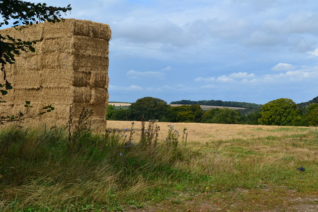
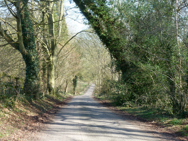
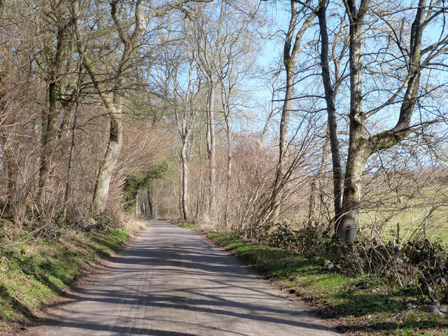
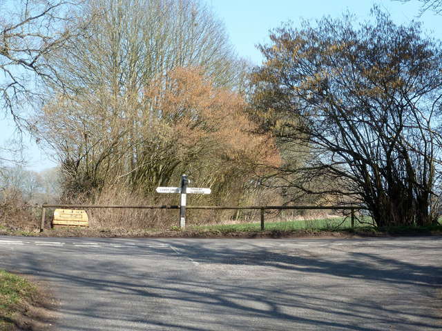
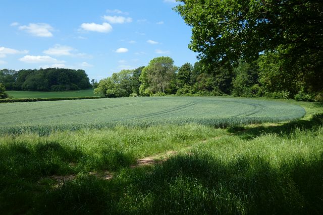
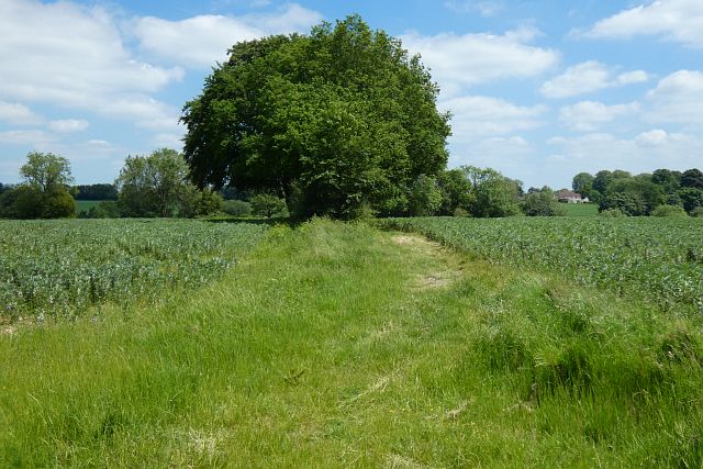
Bottom Copse is a picturesque woodland located in the county of Wiltshire, England. Covering an area of approximately 50 acres, it is a notable example of a well-preserved ancient woodland. The copse is situated near the village of Ramsbury and is easily accessible for nature enthusiasts and locals alike.
The woodland is primarily composed of a mix of deciduous and coniferous trees, including oak, beech, ash, and pine. This diverse range of tree species provides a rich habitat for a variety of wildlife. Bottom Copse is particularly renowned for its vibrant bird population, with species such as great spotted woodpeckers, tawny owls, and chiffchaffs frequently spotted among the trees.
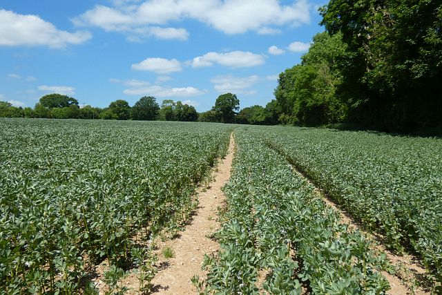
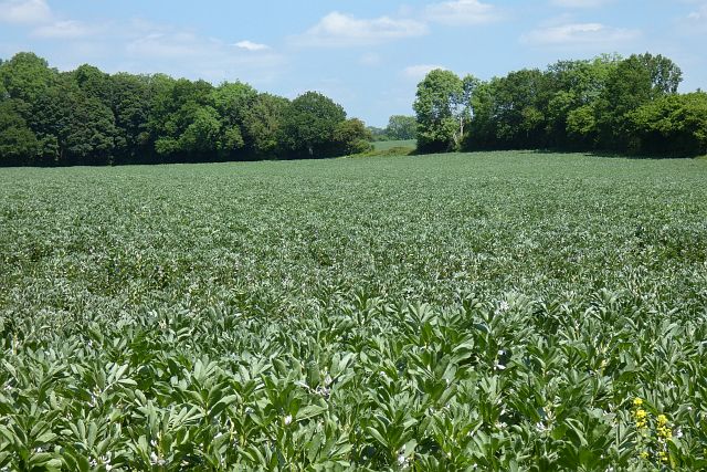
The forest floor is covered with a thick carpet of ferns, bluebells, and wild garlic during the spring and summer months. This lush undergrowth creates a serene and enchanting atmosphere, perfect for leisurely walks and nature exploration. Visitors can also find several well-maintained footpaths that meander through the copse, offering the opportunity to fully immerse oneself in the natural beauty of the surroundings.
Bottom Copse is managed by the local forestry commission, ensuring its preservation and protection for future generations. The copse provides a valuable space for outdoor recreational activities, including picnicking, wildlife spotting, and educational outings. With its tranquil ambiance and stunning scenery, Bottom Copse is a cherished woodland destination in Wiltshire, inviting visitors to connect with nature and enjoy the peacefulness of the countryside.
If you have any feedback on the listing, please let us know in the comments section below.
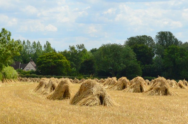
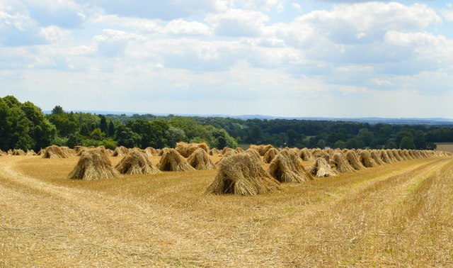
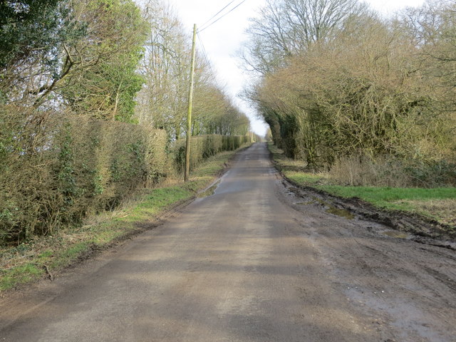
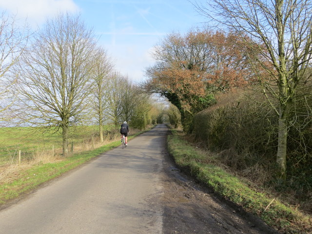
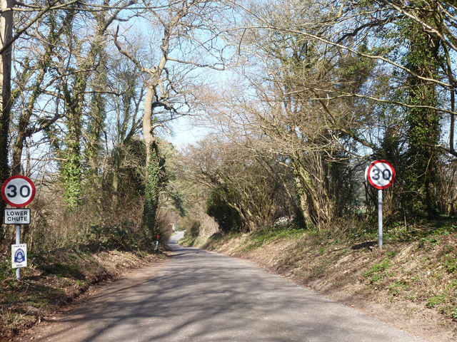
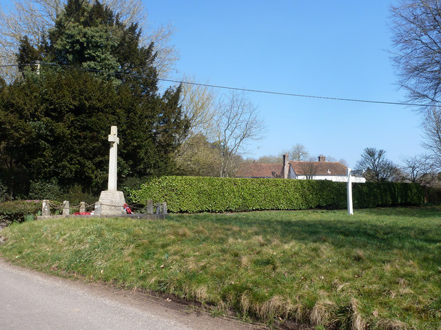
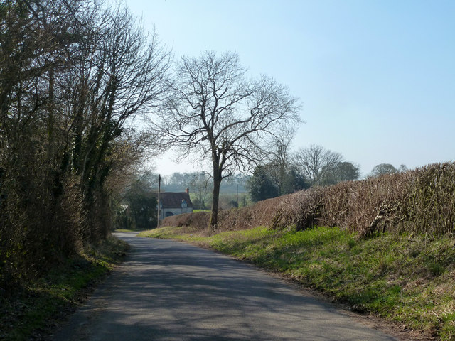
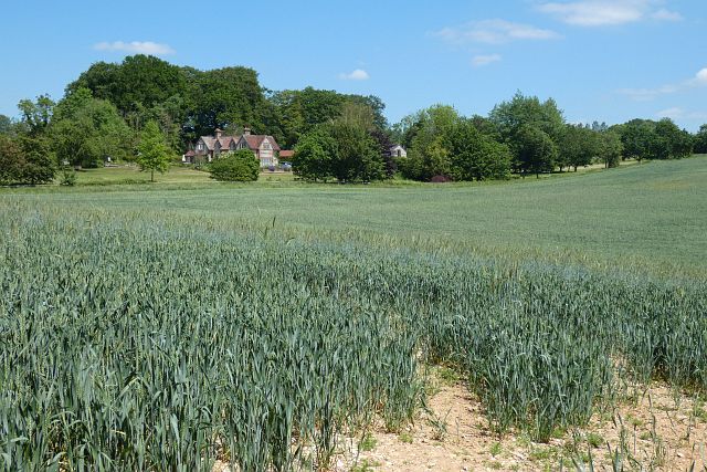
Bottom Copse Images
Images are sourced within 2km of 51.280617/-1.5482918 or Grid Reference SU3153. Thanks to Geograph Open Source API. All images are credited.


Bottom Copse is located at Grid Ref: SU3153 (Lat: 51.280617, Lng: -1.5482918)
Unitary Authority: Wiltshire
Police Authority: Wiltshire
What 3 Words
///originals.author.vineyard. Near Ludgershall, Wiltshire
Nearby Locations
Related Wikis

Bevisbury
Bevisbury is the site of a former Iron Age plateau fort in Hampshire, England. The fort lies on a chalk ridge and is of a single bank and ditch construction...

Conholt
Conholt was a small village in east Wiltshire, England, close to the Hampshire border and about 6 miles (10 km) northeast of Andover. It is now the site...

Tangley
Tangley is a village in the English county of Hampshire. Tangley is situated north of the old market town of Andover and the village of Charlton, Hampshire...

St Mary's Church, Chute Forest
St Mary's Church in Chute Forest, Wiltshire, England, was built between 1870 and 1871 and consecrated in 1875. It is recorded in the National Heritage...

Chute, Wiltshire
Chute is a civil parish in east Wiltshire, England, on the border with Hampshire. It includes the main village of Upper Chute and the smaller settlements...

Chute Forest
Chute Forest is a village and civil parish in east Wiltshire, England. The parish is bordered to the east and south by the county of Hampshire. The village...

Hippenscombe
Hippenscombe is a hamlet within the civil parish of Tidcombe and Fosbury, Wiltshire, in the southwest of England. Marked only on large-scale maps, it lies...

Rushmore and Conholt Downs
Rushmore and Conholt Downs is a 111.5-hectare (276-acre) biological Site of Special Scientific Interest north of Andover in Hampshire. It is a Nature Conservation...
Nearby Amenities
Located within 500m of 51.280617,-1.5482918Have you been to Bottom Copse?
Leave your review of Bottom Copse below (or comments, questions and feedback).