Tansley Wood

Wood, Forest in Derbyshire Derbyshire Dales

England

Tansley Wood

New road into Whitelea Nursery The nursery is doing some expansion with extra polytunnels, but it is also likely that some of the land will be used for new housing. The building on the left is a potting shed.
New road into Whitelea Nursery Credit: Bill Boaden

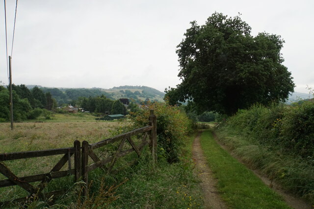
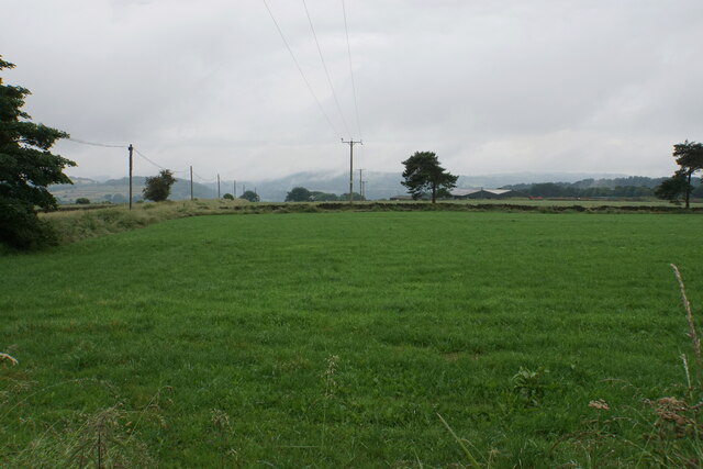
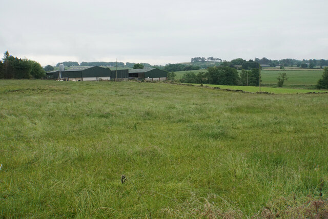
Tansley Wood is a beautiful forest located in Derbyshire, England. Situated near the village of Tansley, it covers a vast area of approximately 500 acres. This woodland is a popular destination for nature lovers and outdoor enthusiasts due to its stunning scenery and diverse wildlife.

The forest is predominantly made up of broadleaf trees such as oak, beech, and birch, creating a rich and vibrant canopy. The dense foliage provides a haven for numerous species of birds, including woodpeckers, thrushes, and owls. In addition to the avian population, Tansley Wood is also home to a variety of mammals such as deer, foxes, and badgers.

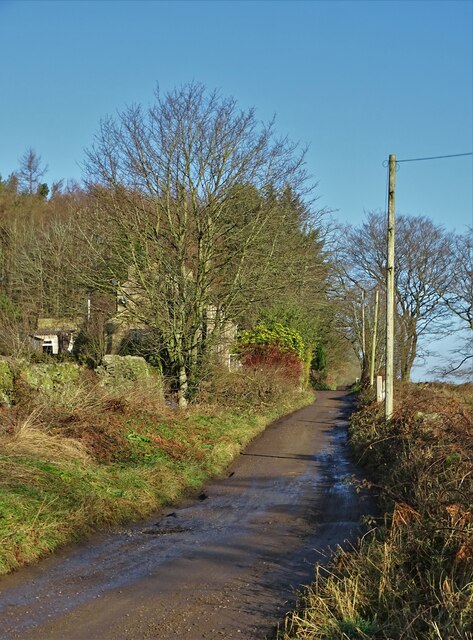
There are several well-maintained trails that wind their way through the forest, allowing visitors to explore its natural beauty at their own pace. These paths offer breathtaking views of the surrounding countryside and offer opportunities for birdwatching and photography. The forest is also a popular spot for picnics and family outings, with designated areas providing facilities such as picnic tables and benches.

Tansley Wood is not only a haven for wildlife but also a valuable resource for the local community. The trees in the forest contribute to maintaining air quality and provide a natural habitat for a wide range of species. The woodland also acts as a carbon sink, helping to combat climate change.

Overall, Tansley Wood is a cherished natural treasure in Derbyshire, offering residents and visitors alike a chance to connect with nature and enjoy the tranquility of a beautiful forest environment.

If you have any feedback on the listing, please let us know in the comments section below.
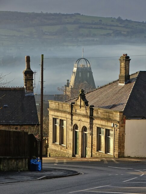
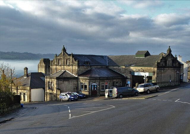
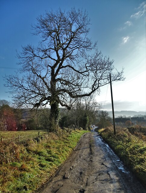
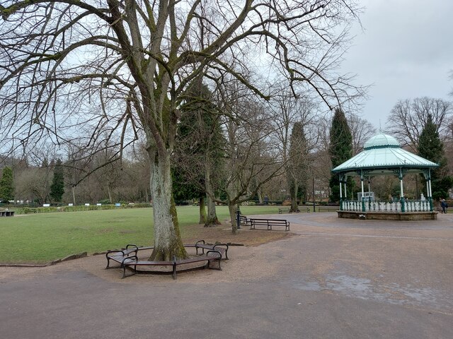
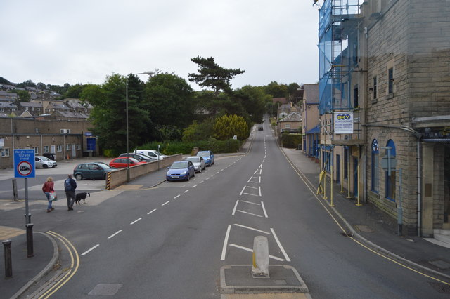
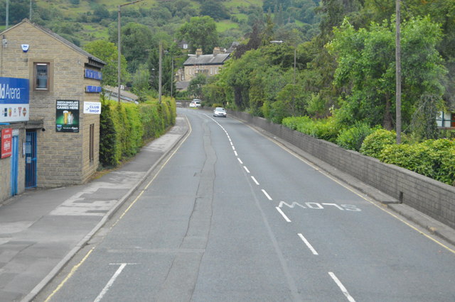
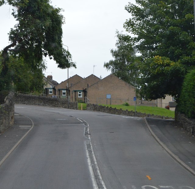
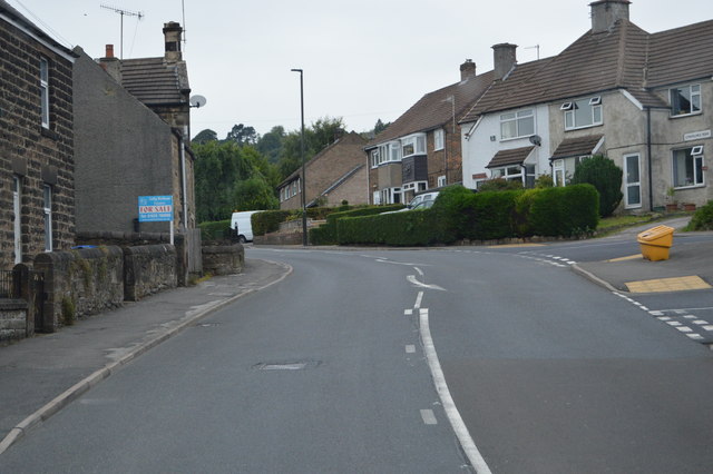
Tansley Wood Images

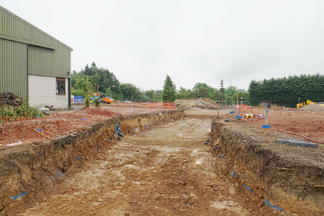
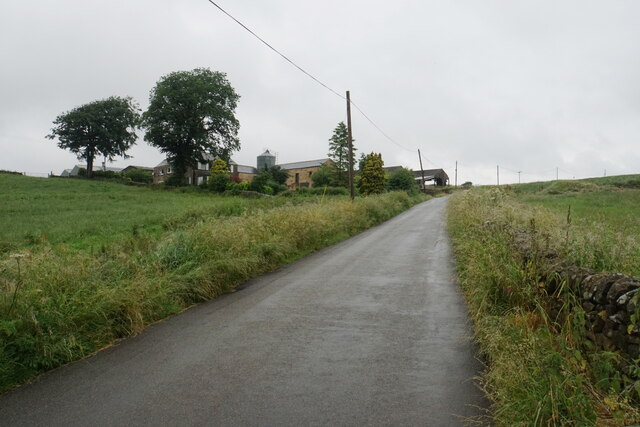
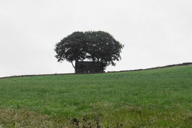
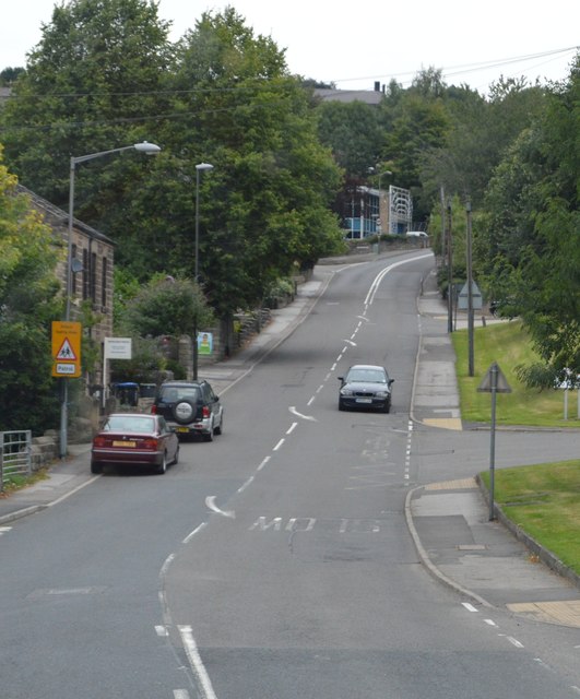
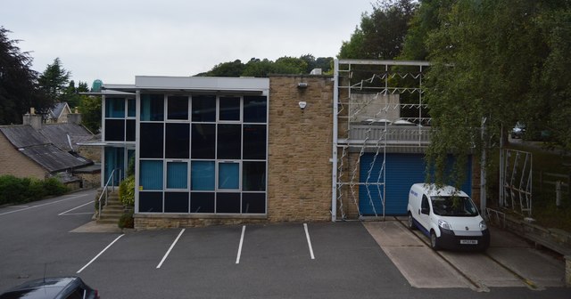
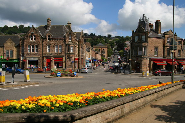
Images are sourced within 2km of 53.138031/-1.5291527 or Grid Reference SK3160. Thanks to Geograph Open Source API. All images are credited.

New road into Whitelea Nursery The nursery is doing some expansion with extra polytunnels, but it is also likely that some of the land will be used for new housing. The building on the left is a potting shed.
New road into Whitelea Nursery
The nursery is doing some expansion with extra polytunnels, but it is also likely that some of the land will be used for new housing. The building on the left is a potting shed.
Track down to Tansley A long-established track though it is not a public footpath.
Track down to Tansley
A long-established track though it is not a public footpath.
Home Farm Viewed from further down the hill on Whitelea Lane.
Home Farm
Viewed from further down the hill on Whitelea Lane.
Barn above Tansley Knoll Seen in profile from down the hill on Whitelea Lane.
Barn above Tansley Knoll
Seen in profile from down the hill on Whitelea Lane.
Field on Tansley Moor Part of a plateau of farmland. The Derwent valley can be seen in the background though the view is still affected by recent rain.
Field on Tansley Moor
Part of a plateau of farmland. The Derwent valley can be seen in the background though the view is still affected by recent rain.
Field by North Carolina Farm A view from Lant Lane with Blakelow Hill in the background.
Field by North Carolina Farm
A view from Lant Lane with Blakelow Hill in the background.
Sandy Lane heading to Sandy Lane Farm
View to Riber Castle Over the rooftops of Gritstone Road. Riber Castle can be seen through misty air as a high pressure weather system settles over England.
View to Riber Castle
Over the rooftops of Gritstone Road. Riber Castle can be seen through misty air as a high pressure weather system settles over England.
View to the tower of Smedley's Hydro Seen from Wellington Street. Smedley's Hydro was a hydropathic facility developed in the second half of the nineteenth century. In the 1950's the old building was taken over by Derbyshire County Council, becoming the organisations administrative hub. The mist in the valley was related to a high pressure weather system settling over the north of England. The illuminated building on the corner was part of the old Matlock tram depot.
View to the tower of Smedley's Hydro
Seen from Wellington Street. Smedley's Hydro was a hydropathic facility developed in the second half of the nineteenth century. In the 1950's the old building was taken over by Derbyshire County Council, becoming the organisations administrative hub. The mist in the valley was related to a high pressure weather system settling over the north of England. The illuminated building on the corner was part of the old Matlock tram depot.
Former tram depot on Matlock Bank
Sandy Lane heading to Chesterfield Road The surface of this lane is dreadful. Speaking from personal experience, it is inadvisable to drive low-slung saloon cars along it.
Sandy Lane heading to Chesterfield Road
The surface of this lane is dreadful. Speaking from personal experience, it is inadvisable to drive low-slung saloon cars along it.
Hall Leys Park, Matlock
Steep Turnpike
Steep Turnpike
A615 The A615 runs 8 miles from Matlock to Alfreton.
<span class="nowrap"><a title="http://www.sabre-roads.org.uk/wiki/index.php?title=A615" rel="nofollow ugc noopener" href="http://www.sabre-roads.org.uk/wiki/index.php?title=A615">Link</a><img style="margin-left:2px;" alt="External link" title="External link - shift click to open in new window" src="https://s1.geograph.org.uk/img/external.png" width="10" height="10"/></span>
A615
The A615 runs 8 miles from Matlock to Alfreton. LinkExternal link
A632 The A632 is a non-primary A-road connecting the Peak District with the Dukeries. It runs 22 miles from Matlock to Cuckney, via Chesterfield.
<span class="nowrap"><a title="http://www.sabre-roads.org.uk/wiki/index.php?title=A632" rel="nofollow ugc noopener" href="http://www.sabre-roads.org.uk/wiki/index.php?title=A632">Link</a><img style="margin-left:2px;" alt="External link" title="External link - shift click to open in new window" src="https://s1.geograph.org.uk/img/external.png" width="10" height="10"/></span>
A632
The A632 is a non-primary A-road connecting the Peak District with the Dukeries. It runs 22 miles from Matlock to Cuckney, via Chesterfield. LinkExternal link
A632, Lime Tree Rd The A632 is a non-primary A-road connecting the Peak District with the Dukeries. It runs 22 miles from Matlock to Cuckney, via Chesterfield.
<span class="nowrap"><a title="http://www.sabre-roads.org.uk/wiki/index.php?title=A632" rel="nofollow ugc noopener" href="http://www.sabre-roads.org.uk/wiki/index.php?title=A632">Link</a><img style="margin-left:2px;" alt="External link" title="External link - shift click to open in new window" src="https://s1.geograph.org.uk/img/external.png" width="10" height="10"/></span>
A632, Lime Tree Rd
The A632 is a non-primary A-road connecting the Peak District with the Dukeries. It runs 22 miles from Matlock to Cuckney, via Chesterfield. LinkExternal link
A632 The A632 is a non-primary A-road connecting the Peak District with the Dukeries. It runs 22 miles from Matlock to Cuckney, via Chesterfield.
<span class="nowrap"><a title="http://www.sabre-roads.org.uk/wiki/index.php?title=A632" rel="nofollow ugc noopener" href="http://www.sabre-roads.org.uk/wiki/index.php?title=A632">Link</a><img style="margin-left:2px;" alt="External link" title="External link - shift click to open in new window" src="https://s1.geograph.org.uk/img/external.png" width="10" height="10"/></span>
A632
The A632 is a non-primary A-road connecting the Peak District with the Dukeries. It runs 22 miles from Matlock to Cuckney, via Chesterfield. LinkExternal link
Building by the A632
Show me another place!

Tansley Wood is located at Grid Ref: SK3160 (Lat: 53.138031, Lng: -1.5291527)

Administrative County: Derbyshire

District: Derbyshire Dales

Police Authority: Derbyshire

What 3 Words

///salad.feeds.rents. Near Tansley, Derbyshire

Related Wikis

Lumsdale Valley

Lumsdale Valley is a steep-sided wooded gorge in the Peak District near Matlock, Derbyshire, in England. It is the location of a series of historic water...

Bentley Brook

Bentley Brook is a stream in Derbyshire, England. It rises on Matlock Moor, flowing south through Cuckoostone Dale, under the A632, into Lumsdale, gathering...

Holy Trinity Church, Tansley

Holy Trinity Church, Tansley is a parish church in the Church of England in Tansley, Derbyshire. == History == The foundation stone was laid on 1 May 1839...

Tansley

Tansley is a village on the southern edge of the Derbyshire Peak District, two miles east of Matlock. == History == Tansley is recorded in the Domesday...

Highfields School, Matlock

Highfields School is a coeducational secondary school and sixth form located in Matlock, Derbyshire, England. At the time of its September 2012 Ofsted...

Matlock, Derbyshire

Matlock is the county town of Derbyshire, England. It is in the south-eastern part of the Peak District, with the National Park directly to the west....

Matlock Urban District

Matlock was an Urban District in Derbyshire, England from 1894 to 1974. It was created under the Local Government Act 1894. The district was abolished...

Riber Castle

Riber Castle is a 19th-century Grade II listed country house in the hamlet of Riber on a hill overlooking Matlock, Derbyshire. It is built of gritstone...

Nearby Amenities

Located within 500m of 53.138031,-1.5291527
Passing Place
Passing Place: right
Lat/Long: 53.1406086/-1.5341184
Bus Stop
Bus: yes
Ele: 141.0000000
Naptan AtcoCode: 1000DMAR2323
Naptan NaptanCode: dbsdtjwj
Public Transport: platform
Lat/Long: 53.1344796/-1.5332323
Bus Stop
Bus: yes
Ele: 141.0000000
Naptan AtcoCode: 1000DMAR2322
Naptan NaptanCode: dbsdtjwg
Public Transport: platform
Lat/Long: 53.1345954/-1.5329158
Ele: 103
Lat/Long: 53.1369989/-1.5347404
Ele: 107
Lat/Long: 53.1371666/-1.5358803
Ele: 103
Lat/Long: 53.137049/-1.5348902
Ele: 111
Lat/Long: 53.1372547/-1.5362522
Ele: 107
Lat/Long: 53.137067/-1.535952
Parking
Ele: 138.0000000
Lat/Long: 53.1388273/-1.5353083
Ele: 135.0000000
Lat/Long: 53.1387753/-1.534627
Ele: 136.0000000
Lat/Long: 53.1390154/-1.5345318
Ele: 139.0000000
Lat/Long: 53.1391616/-1.5346058
Ele: 145
Lat/Long: 53.1392405/-1.5347125
Ele: 147
Lat/Long: 53.1392519/-1.5349813
Ele: 153.0000000
Lat/Long: 53.1395241/-1.5357915
Ele: 139.0000000
Lat/Long: 53.1387629/-1.5351474
Ele: 147.0000000
Lat/Long: 53.1416202/-1.5335268
Ele: 147.0000000
Lat/Long: 53.1417/-1.5332818
Ele: 153.0000000
Lat/Long: 53.1416955/-1.5333909
Ele: 147.0000000
Lat/Long: 53.1416457/-1.5334754
Ele: 146.0000000
Lat/Long: 53.1415301/-1.5336379
Ele: 142.0000000
Lat/Long: 53.1414543/-1.5336734
Ele: 143.0000000
Lat/Long: 53.1414686/-1.533667
Ele: 158.0000000
Lat/Long: 53.1390216/-1.5254565
Ele: 147
Lat/Long: 53.1401526/-1.5316861
Ele: 146
Lat/Long: 53.1402064/-1.531773
Ele: 158.0000000
Lat/Long: 53.1390662/-1.528451
Barrier: kissing_gate
Ele: 158
Lat/Long: 53.1391256/-1.5285935
Barrier: kissing_gate
Ele: 154
Lat/Long: 53.1393817/-1.5295511
Barrier: stile
Ele: 153
Material: stone
Stile: squeezer
Lat/Long: 53.1397944/-1.5305714
Ele: 158
Lat/Long: 53.1389525/-1.5269626
Barrier: stile
Ele: 158
Stile: squeezer
Lat/Long: 53.1389381/-1.5270606
Ele: 152
Lat/Long: 53.139316/-1.5230063
Barrier: stile
Steps: 1
Stile: stepover
Lat/Long: 53.1405988/-1.5340153
Barrier: stile
Ele: 146.0000000
Material: stone
Stile: squeezer
Lat/Long: 53.1403705/-1.5321718
Ele: 138
Lat/Long: 53.1404567/-1.5334335
Ele: 136
Note: No bridge, just step over
Lat/Long: 53.1397053/-1.5341052
Ele: 143
Lat/Long: 53.1404992/-1.534638
Barrier: stile
Stile: squeezer
Lat/Long: 53.1360498/-1.5284572
Sam Furniss
Shop: car_repair
Lat/Long: 53.1339036/-1.5297158
Bench
Lat/Long: 53.1372182/-1.5241156
Parking
Access: private
Lat/Long: 53.1396639/-1.5330766
Barrier: stile
Material: stone
Stile: squeezer
Lat/Long: 53.1342594/-1.5308636
Barrier: stile
Material: stone
Source: survey;gps
Stile: stepover
Lat/Long: 53.1359335/-1.5263568
Evince Concepts
Office: company
Lat/Long: 53.139105/-1.5331427
Anthony Wassell Glass
Addr Unit: 18
Office: company
Lat/Long: 53.1391741/-1.5333358
Peak Inks
Addr Unit: 17
Office: company
Lat/Long: 53.1391178/-1.533081
Barrier: kissing_gate
Lat/Long: 53.1397868/-1.530553
Barrier: entrance
Source: survey;gps
Lat/Long: 53.1412263/-1.5339064
The cotton spinning and bleaching mills
Board Type: history
Information: board
Tourism: information
Lat/Long: 53.1412598/-1.5338961
Waterway: waterfall
Lat/Long: 53.1417467/-1.5331716
Barrier: stile
Historic: ruins
Material: stone
Source: survey;gps
Stile: squeezer
Lat/Long: 53.1406164/-1.5340642
Bar
Bentley Brook Brewery
Addr City: Matlock
Addr Postcode: DE4 5EX
Addr Street: Lumsdale
Craft: brewery
Fhrs Id: 1626661
Opening Hours: Fr 17:00-20:00; Sa 11:00-17:00
Website: https://www.bentleybrook.co.uk/
Lat/Long: 53.1392001/-1.5331338
Generator Method: photovoltaic
Generator Output Electricity: yes
Generator Source: solar
Generator Type: solar_photovoltaic_panel
Location: roof
Power: generator
Lat/Long: 53.1390347/-1.5362525
Generator Method: photovoltaic
Generator Output Electricity: yes
Generator Source: solar
Generator Type: solar_photovoltaic_panel
Location: roof
Power: generator
Lat/Long: 53.1382752/-1.5357858
Generator Method: photovoltaic
Generator Output Electricity: yes
Generator Source: solar
Generator Type: solar_photovoltaic_panel
Location: roof
Power: generator
Lat/Long: 53.138013/-1.5365395
Generator Method: photovoltaic
Generator Output Electricity: yes
Generator Source: solar
Generator Type: solar_photovoltaic_panel
Location: roof
Power: generator
Lat/Long: 53.1375811/-1.5217723
Generator Method: photovoltaic
Generator Output Electricity: yes
Generator Source: solar
Generator Type: solar_photovoltaic_panel
Location: roof
Power: generator
Lat/Long: 53.1373035/-1.5231993
Generator Method: photovoltaic
Generator Output Electricity: yes
Generator Source: solar
Generator Type: solar_photovoltaic_panel
Location: roof
Power: generator
Lat/Long: 53.1370469/-1.5233186
Generator Method: photovoltaic
Generator Output Electricity: yes
Generator Source: solar
Generator Type: solar_photovoltaic_panel
Location: roof
Power: generator
Lat/Long: 53.1366937/-1.5235399
Generator Method: photovoltaic
Generator Output Electricity: yes
Generator Source: solar
Generator Type: solar_photovoltaic_panel
Location: roof
Power: generator
Lat/Long: 53.1362263/-1.5225193
Generator Method: photovoltaic
Generator Output Electricity: yes
Generator Source: solar
Generator Type: solar_photovoltaic_panel
Location: roof
Power: generator
Lat/Long: 53.1342776/-1.5319983
Passing Place
Passing Place: left
Lat/Long: 53.1412537/-1.5340229
Historic: ruins
Ruins: well
Lat/Long: 53.1408293/-1.5341068
The data included in this document is from www.openstreetmap.org. The data is made available under ODbL.

Have you been to Tansley Wood?

Leave your review of Tansley Wood below (or comments, questions and feedback).