Jumwell Plantation
Wood, Forest in Yorkshire Harrogate
England
Jumwell Plantation
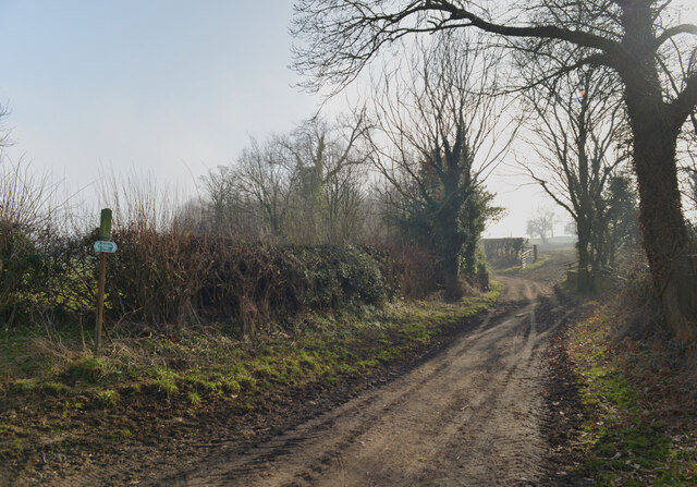
Jumwell Plantation is a picturesque woodland located in Yorkshire, England. Nestled amidst the rolling hills of the region, this idyllic plantation is renowned for its natural beauty and rich biodiversity. Spanning over a vast area, the plantation is predominantly covered with a variety of mature trees, including oak, birch, beech, and pine.
The woodland of Jumwell Plantation is a haven for wildlife enthusiasts and nature lovers. Its dense foliage and well-preserved ecosystem provide a sanctuary for numerous species of birds, mammals, and insects. Visitors can often spot squirrels darting through the treetops, while rabbits and deer can be seen grazing in the open areas. The plantation is also home to a wide range of bird species, including woodpeckers, owls, and various songbirds.
The plantation offers several walking trails that wind through the woodland, allowing visitors to explore its beauty at their own pace. These trails are well-maintained and provide an opportunity to immerse oneself in the tranquility of nature. Along the paths, visitors can discover enchanting clearings and hidden glens, adding to the allure of the plantation.
Jumwell Plantation is a popular destination for outdoor activities such as hiking, picnicking, and photography. Its serene ambience and breathtaking vistas make it a perfect spot for capturing memorable moments or simply unwinding in the lap of nature. Whether one seeks solitude or seeks to connect with the natural world, Jumwell Plantation offers an unforgettable experience amidst the beauty of Yorkshire's woodlands.
If you have any feedback on the listing, please let us know in the comments section below.
Jumwell Plantation Images
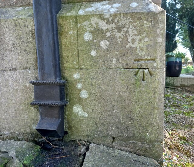
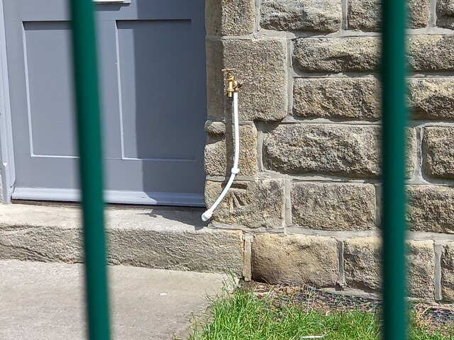
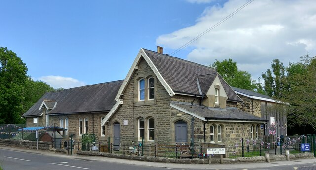
Images are sourced within 2km of 54.039695/-1.5214708 or Grid Reference SE3160. Thanks to Geograph Open Source API. All images are credited.


Jumwell Plantation is located at Grid Ref: SE3160 (Lat: 54.039695, Lng: -1.5214708)
Division: West Riding
Administrative County: North Yorkshire
District: Harrogate
Police Authority: North Yorkshire
What 3 Words
///duos.enthused.unwind. Near Knaresborough, North Yorkshire
Nearby Locations
Related Wikis
Brearton
Brearton is a village and civil parish in the Harrogate borough of North Yorkshire, England, situated about 3 miles (4.8 km) north of Knaresborough. The...

St John's Church, Brearton
St John's Church is an Anglican church in Brearton, a village in North Yorkshire, in England. The building was commissioned by Thomas Duncombe in 1836...

Nidd
Nidd is a small village and civil parish in the Harrogate district of North Yorkshire, England. The population of the village taken at the 2011 census...

Nidd Hall
Nidd Hall was a 19th-century country house, now a hotel, in the village of Nidd, North Yorkshire, England. It is a Grade II listed building. It is constructed...
Nearby Amenities
Located within 500m of 54.039695,-1.5214708Have you been to Jumwell Plantation?
Leave your review of Jumwell Plantation below (or comments, questions and feedback).