Allmoor Copse

Wood, Forest in Hampshire New Forest

England

Allmoor Copse

Trees near Blackhill with, Foxbury heathland restoration beyond
Trees near Blackhill with, Foxbury heathland restoration beyond Credit: David Martin

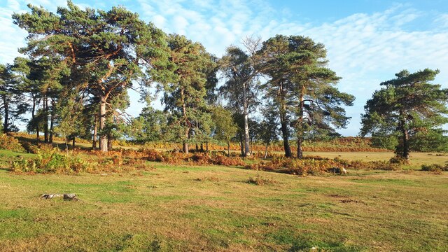
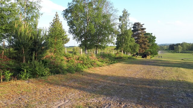
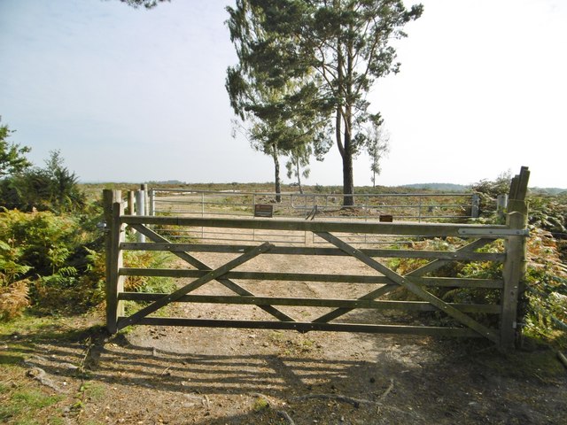
Allmoor Copse is a picturesque woodland located in the county of Hampshire, England. Covering an area of approximately 50 acres, it is a beautiful example of a mixed broadleaf and coniferous forest. Situated near the village of Allmoor, the copse is easily accessible and attracts visitors from both the local area and further afield.

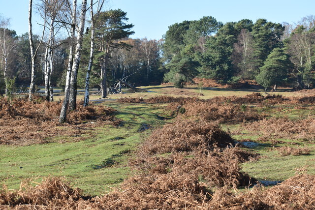
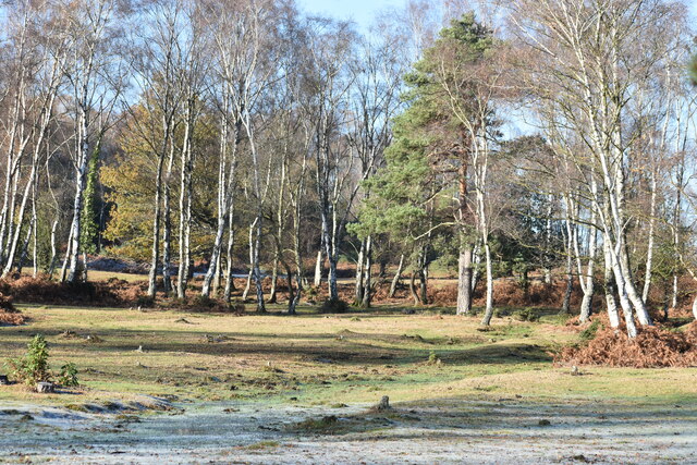
The copse is known for its diverse range of tree species, including oak, beech, birch, and pine. The tall, majestic trees provide a dense canopy that creates a tranquil and secluded atmosphere within the woodland. The forest floor is covered in a thick layer of leaf litter, which supports a wide variety of plant life, including bluebells, wild garlic, and ferns.

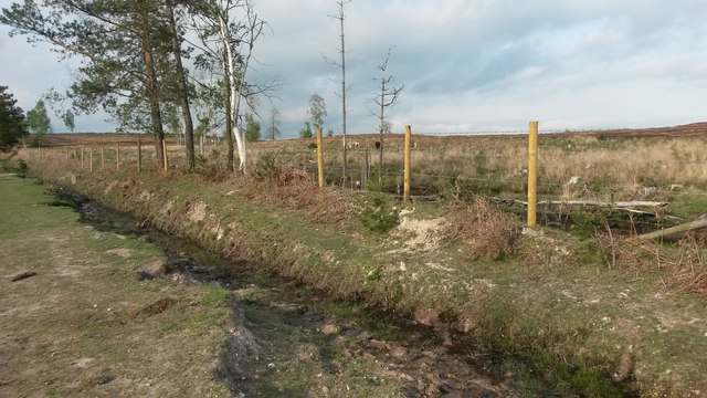
Wildlife thrives in Allmoor Copse, making it a popular spot for nature enthusiasts. The copse is home to an array of woodland birds, such as woodpeckers, owls, and various songbirds. Additionally, small mammals like squirrels, foxes, and badgers can be spotted among the trees. The diverse habitat also attracts a variety of insects, including butterflies, beetles, and dragonflies.

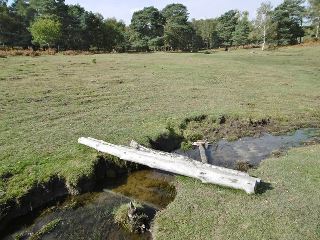
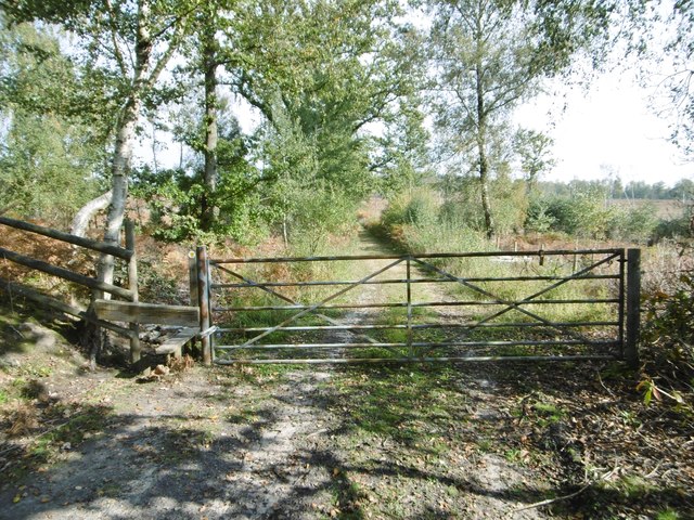
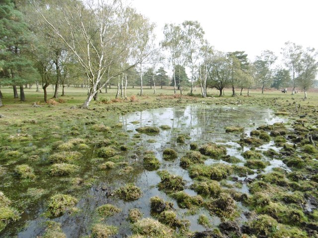
A network of well-maintained footpaths winds through Allmoor Copse, allowing visitors to explore the woodland at their own pace. The paths lead to several secluded clearings, providing perfect spots for picnics or peaceful contemplation. The copse is also intersected by a small stream, adding to the charm of the surroundings.

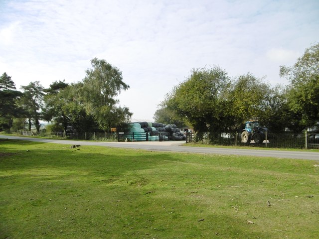
Allmoor Copse is not only a haven for wildlife but also an important natural resource for the local community. It provides opportunities for recreational activities such as walking, birdwatching, and photography, while also contributing to the overall biodiversity and ecological health of the area.

If you have any feedback on the listing, please let us know in the comments section below.

Allmoor Copse Images

Images are sourced within 2km of 50.954045/-1.5540257 or Grid Reference SU3117. Thanks to Geograph Open Source API. All images are credited.

Trees near Blackhill with, Foxbury heathland restoration beyond
Grassy path across Half Moon Common
Sunlight and frost on Half Moon Common
Summer evening at Blackhill Looking along the fence of the National Trust's Foxbury heathland restoration project.
Summer evening at Blackhill
Looking along the fence of the National Trust's Foxbury heathland restoration project.
Half Moon Common, footbridge An informal bridge over a ditch, comprising four birch trunks.
Half Moon Common, footbridge
An informal bridge over a ditch, comprising four birch trunks.
Half Moon Common, gate & stile At the eastern boundary of the common, on the path and forestry road to Home Farm and A36.
Half Moon Common, gate & stile
At the eastern boundary of the common, on the path and forestry road to Home Farm and A36.
Half Moon Common, pond
Furzley, Swallowfields Farm Farm with shop on Black Hill Road. <span class="nowrap"><a title="http://www.swallowfieldsfarmproduce.co.uk/#contact" rel="nofollow ugc noopener" href="http://www.swallowfieldsfarmproduce.co.uk/#contact">Link</a><img style="margin-left:2px;" alt="External link" title="External link - shift click to open in new window" src="https://s1.geograph.org.uk/img/external.png" width="10" height="10"/></span>
Furzley, Swallowfields Farm
Farm with shop on Black Hill Road. LinkExternal link
Half Moon Common, gates Gates at the entrance to the National Trust's Foxbury land. The former plantation is being cleared and restored to its original heathland condition. <span class="nowrap"><a title="http://www.nationaltrust.org.uk/article-1355782710954/" rel="nofollow ugc noopener" href="http://www.nationaltrust.org.uk/article-1355782710954/">Link</a><img style="margin-left:2px;" alt="External link" title="External link - shift click to open in new window" src="https://s1.geograph.org.uk/img/external.png" width="10" height="10"/></span>
Half Moon Common, gates
Gates at the entrance to the National Trust's Foxbury land. The former plantation is being cleared and restored to its original heathland condition. LinkExternal link
Half Moon Common, boundary Left, behind the ditch, former Foxbury Plantation, being restored to heathland by the National Trust; right, Half Moon Common, also National Trust land, but with public access.
Half Moon Common, boundary
Left, behind the ditch, former Foxbury Plantation, being restored to heathland by the National Trust; right, Half Moon Common, also National Trust land, but with public access.
Blackhill, open woodland Oak, birch and holly on the northern boundary of Half Moon Common.
Blackhill, open woodland
Oak, birch and holly on the northern boundary of Half Moon Common.
Blackhill, embankment The northern boundary of Half Moon Common; right, grazing land at Chatmohr.
Blackhill, embankment
The northern boundary of Half Moon Common; right, grazing land at Chatmohr.
Sunset glow on snow at Blackhill
New National Trust car park under construction at Foxbury
Edge of Foxbury heathland restoration project
Forest view at Blackhill One of my favourite walks.
Forest view at Blackhill
One of my favourite walks.
Cooper's Lane through Foxbury
Controlled cattle grazing as part of Foxbury heathland restoration And shortly afterwards, I met a fox.
Controlled cattle grazing as part of Foxbury heathland restoration
And shortly afterwards, I met a fox.
Show me another place!

Allmoor Copse is located at Grid Ref: SU3117 (Lat: 50.954045, Lng: -1.5540257)

Administrative County: Hampshire

District: New Forest

Police Authority: Hampshire

What 3 Words

///exhaling.spearing.alien. Near West Wellow, Hampshire

Related Wikis

Paultons Park

Paultons Park is an amusement park located in the New Forest National Park, near the village of Ower, in Hampshire, England, with over 70 rides and attractions...

Storm Chaser (Paultons Park)

Storm Chaser is a steel spinning roller coaster located at Paultons Park in Hampshire, England. The coaster debuted alongside the new £12 million Tornado...

Ower

Ower is a hamlet in the New Forest district of Hampshire, England. Its nearest towns are Totton – approximately 3 miles (4.8 km) to the southeast, and...

Copythorne Common

Copythorne Common is a 17-hectare (42-acre) nature reserve west of Southampton in Hampshire. It is managed by the Hampshire and Isle of Wight Wildlife...

Copythorne

Copythorne is a village and civil parish in Hampshire, England, within the boundaries of the New Forest National Park. == Overview == Copythorne is in...

Wellow, Hampshire

Wellow is a village and civil parish in Hampshire, England that falls within the Test Valley district. The village lies just outside the New Forest, across...

Tatchbury Mount Hospital

Tatchbury Mount Hospital is a health facility to the north of Totton, Hampshire, England. It is owned and managed by Southern Health NHS Foundation Trust...

Winsor, Hampshire

Winsor is a village in the civil parish of Copythorne, in Hampshire, England. It is situated within the boundaries of the New Forest National Park. Surrounding...

Nearby Amenities

Located within 500m of 50.954045,-1.5540257
Power: tower
Source: Bing
Lat/Long: 50.9544092/-1.5611
Critter Creek
Tourism: theme_park
Lat/Long: 50.9499438/-1.5519777
Professor Blast's Expedition Express
Attraction: amusement_ride
Lat/Long: 50.9499859/-1.5521863
Cat-O-Pillar
Attraction: amusement_ride
Lat/Long: 50.9500739/-1.5517786
The data included in this document is from www.openstreetmap.org. The data is made available under ODbL.

Have you been to Allmoor Copse?

Leave your review of Allmoor Copse below (or comments, questions and feedback).