Dickleburgh

Settlement in Norfolk South Norfolk

England

Dickleburgh

Norwich Road at the junction of the Scole Bypass
Norwich Road at the junction of the Scole Bypass Credit: David Howard

Dickleburgh is a small village located in the county of Norfolk, England. Situated approximately 15 miles south of Norwich, it falls within the district of South Norfolk. With a population of around 1,000 residents, the village is known for its picturesque rural setting and historical significance.

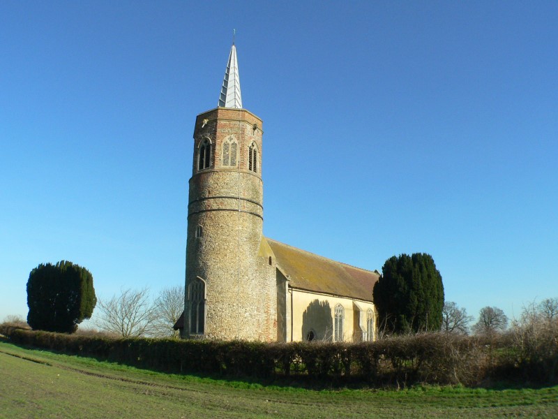
One of the prominent features of Dickleburgh is its medieval church, All Saints Church, which dates back to the 13th century. The church is renowned for its stunning architecture and hosts regular services for the local community. Additionally, the village is home to a primary school, providing education for children in the area.

Dickleburgh offers a range of amenities for its residents, including a village hall that serves as a hub for social events and gatherings. The village also has a local pub, The Greyhound, where locals and visitors can enjoy a drink or a meal.

Surrounded by beautiful countryside, Dickleburgh provides a peaceful and scenic environment for residents and visitors alike. The village is nestled amidst rolling hills and farmland, making it an ideal location for outdoor activities such as walking, cycling, and horse riding.

While Dickleburgh is a small village, it benefits from its proximity to larger towns such as Diss and Norwich, where residents can access a wider range of amenities and employment opportunities. Overall, Dickleburgh offers a charming rural lifestyle and a close-knit community for its residents.

If you have any feedback on the listing, please let us know in the comments section below.
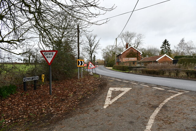
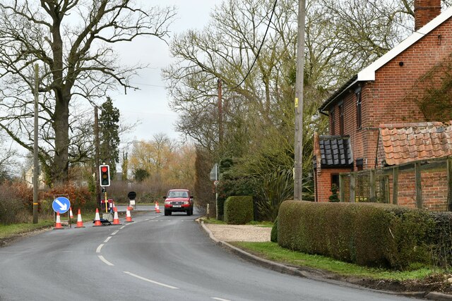
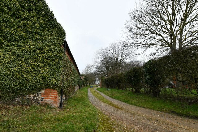
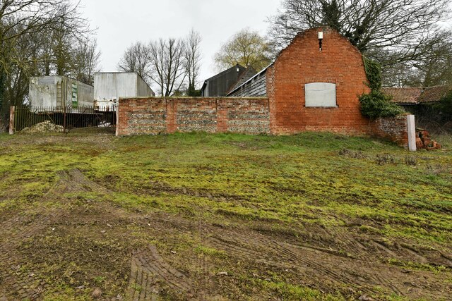
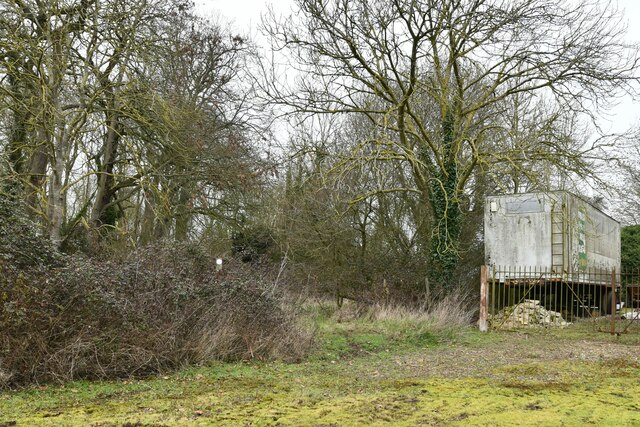
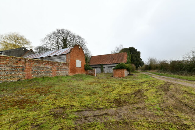
Dickleburgh Images

Images are sourced within 2km of 52.397127/1.185704 or Grid Reference TM1682. Thanks to Geograph Open Source API. All images are credited.

Norwich Road at the junction of the Scole Bypass
Norwich Road, Thelveton
Rape field by Norwich Road, Thelveton
Norwich Road, Thelveton
Burston and Shimpling: Where Valley lane joins Station Road
Burston and Shimpling: Station Road
Shimpling: Valley Farm
Shimpling: Public footpath through a small wooded area
Shimpling: Valley Farm
Thelveton: The Old Manor House
Thelveton: Post box
Thelveton: Post box
Dickleburgh Village Stores Dickleburgh village stores Norfolk.
Dickleburgh Village Stores
Dickleburgh village stores Norfolk.
Old Farmhouse Old farmhouse marked on the 1:25:000 map as The Beeches near to Dickleburgh Norfolk.
Old Farmhouse
Old farmhouse marked on the 1:25:000 map as The Beeches near to Dickleburgh Norfolk.
Looking North Looking north along the A140 near to Thelveton Norfolk.
Looking North
Looking north along the A140 near to Thelveton Norfolk.
Roundabout Ahead Roundabout from the village of Thelveton onto the A140 near to Thelveton Norfolk.
Roundabout Ahead
Roundabout from the village of Thelveton onto the A140 near to Thelveton Norfolk.
All Saints church at Dickleburgh, Norfolk It stands at the heart of the village next to the main road, which used to be heavy with traffic travelling between Ipswich and Norwich until the bypass was built. The church is probably 14th century but it has been affected by the Victorian restorer.
All Saints church at Dickleburgh, Norfolk
It stands at the heart of the village next to the main road, which used to be heavy with traffic travelling between Ipswich and Norwich until the bypass was built. The church is probably 14th century but it has been affected by the Victorian restorer.
Footpath to Dickleburgh Moor The building on the left of the picture belongs to New Farm.
Footpath to Dickleburgh Moor
The building on the left of the picture belongs to New Farm.
Show me another place!

Dickleburgh is located at Grid Ref: TM1682 (Lat: 52.397127, Lng: 1.185704)

Administrative County: Norfolk

District: South Norfolk

Police Authority: Norfolk

What 3 Words

///juggles.forkful.solder. Near Dickleburgh, Norfolk

Nearby Locations

Dickleburgh

Related Wikis

Dickleburgh

Dickleburgh is a village and former civil parish, now in the parish of Dickleburgh and Rushall, in the South Norfolk district of the English county of...

Rushall, Norfolk

Rushall is a village and former civil parish, now in the parish of Dickleburgh and Rushall, in the South Norfolk district, in the county of Norfolk, England...

Thelveton

Thelveton (historically Thelton, earlier Telvetun) is a village and former civil parish, now in the parish of Scole, in the South Norfolk district, in...

St George's Church, Shimpling

St George's Church is a redundant Anglican church in the village of Shimpling, Norfolk, England. It is recorded in the National Heritage List for England...

Shimpling, Norfolk

Shimpling is a village and former civil parish 16 miles (26 km) south of Norwich, now in the parish of Burston and Shimpling, in the South Norfolk district...

100th Bomb Group Memorial Museum

The 100th Bomb Group Memorial Museum, located in the original control tower and other remaining buildings of the RAF Thorpe Abbotts airfield east of Diss...

Burston and Shimpling

Burston and Shimpling is a civil parish in the county of Norfolk, England. The parish covers an area of 9.17 km2 (3.54 sq mi) and had a population of 538...

Burston, Norfolk

Burston is a village and former civil parish, now in the parish of Burston and Shimpling, in the South Norfolk district, in the county of Norfolk, England...

Nearby Amenities

Located within 500m of 52.397127,1.185704
Traffic Calming: island
Lat/Long: 52.3975398/1.1789435
Dickleburgh
Place: village
Wikidata: Q3464044
Wikipedia: en:Dickleburgh
Lat/Long: 52.3960317/1.1875605
Bus Stop
church, adj
Naptan AtcoCode: 2900D061
Naptan Bearing: N
Naptan CommonName: church
Naptan Indicator: adj
Naptan Landmark: church
Naptan Locality: Dickleburgh
Naptan NaptanCode: nfoamgma
Naptan ShortCommonName: church
Naptan Street: Norwich Road
Naptan Verified: no
Source: naptan_import
Lat/Long: 52.3968949/1.1853538
Bus Stop
Catchpole Walk, opp
Naptan AtcoCode: 2900D0610
Naptan Bearing: E
Naptan BusStopType: CUS
Naptan CommonName: Catchpole Walk
Naptan Indicator: opp
Naptan Locality: Dickleburgh
Naptan NaptanCode: nfoamgmd
Naptan Street: Rectory Road
Naptan Verified: no
Source: naptan_import
Lat/Long: 52.396674/1.1909411
Bus Stop
church, opp
Naptan AtcoCode: 2900D066
Naptan Bearing: SW
Naptan CommonName: church
Naptan Indicator: opp
Naptan Landmark: church
Naptan Locality: Dickleburgh
Naptan NaptanCode: nfoamgmj
Naptan ShortCommonName: church
Naptan Street: Norwich Road
Naptan Verified: no
Source: naptan_import
Lat/Long: 52.3969481/1.185546
Turning Circle
Lat/Long: 52.3963337/1.1867281
Pub
The Dickleburgh Crown
Addr Country: GB
Addr Postcode: IP21 4NQ
Addr Street: The Street
Addr Village: Dickleburgh
Fhrs Id: 964022
Source Addr: FHRS Open Data
Lat/Long: 52.3962228/1.1850695
Description: Small stone cross atop tall pillar on large stone tiered inscribed base. In churchyard close to road.
Heritage: yes
Historic: memorial
Inscription: To the Glory of God and in Grateful Memory of the Men of this Parish Who Gave their Lives in the Great War 1914-1918 "He That Loseth His Life For My Sake Shall Find It."
Memorial: war_memorial
Note: Names inscribed same as on roll of honour inside the church.
Lat/Long: 52.3968065/1.1852543
Description: Their Name Liveth For Evermore. 20 mens names for 1914-1818, 1 man's name 1936, 8 mens names 1939-1945
Historic: memorial
Inscription: Their Name Liveth For Evermore
Memorial: war_memorial
Memorial Type: plate
Lat/Long: 52.3969337/1.1848043
Barrier: cycle_barrier
Foot: yes
Lat/Long: 52.3950428/1.1881556
Barrier: cycle_barrier
Foot: yes
Lat/Long: 52.3966565/1.1884131
Bench
Backrest: yes
Material: plastic
Lat/Long: 52.3965195/1.191505
Waste Basket
Lat/Long: 52.3965211/1.19156
Bench
Backrest: yes
Lat/Long: 52.3964779/1.1910286
Grit Bin
Colour: yellow
Lat/Long: 52.3964902/1.1910185
Post Box
Collection Times: Mo-Fr 16:45; Sa 08:00
Operator: Royal Mail
Post Box Design: 2010_pattern
Post Box Mounting: pier
Post Box Type: lamp
Ref: IP21 7090
Royal Cypher: EIIR
Royal Cypher Wikidata: Q33102113
Lat/Long: 52.3965289/1.1909866
Entrance: main
Lat/Long: 52.396799/1.1847388
Entrance: yes
Lat/Long: 52.3969573/1.1848137
Entrance: yes
Lat/Long: 52.396788/1.1851265
Dickleburgh
Inscription: Christopher Bernard / Iceni / Romans / Saxons / Civil War
Man Made: village_sign
Material: wood
Lat/Long: 52.396979/1.1856102
Waste Basket
Lat/Long: 52.3970436/1.1857469
Give Way
Lat/Long: 52.3971457/1.1856704
Bench
Lat/Long: 52.3969053/1.1856096
Post Box
Collection Times: Mo-Fr 17:00; Sa 11:30
Operator: Royal Mail
Post Box Mounting: pier
Post Box Type: lamp
Ref: IP21 7023
Royal Cypher: EIIR
Royal Cypher Wikidata: Q33102113
Lat/Long: 52.397208/1.185941
Entrance: main
Lat/Long: 52.3950172/1.1883523
Defibrillator
Defibrillator Location: On exterior wall of Dickleborough Village Centre, facing the car park.
Emergency: defibrillator
Not Ref GB The Circuit: 1F52AA6D-6722-40C7-8421-B08500E035AC
Lat/Long: 52.3950224/1.1882531
Grit Bin
Lat/Long: 52.3997473/1.185934
Waste Basket
Waste: dog_excrement
Lat/Long: 52.3976504/1.1849621
Historic: milestone
Inscription: To Norwich 17 M / To Ipswich 26 M
Lat/Long: 52.3976825/1.1858871
Give Way
Lat/Long: 52.3965829/1.19225
Power: pole
Lat/Long: 52.3972752/1.1827549
Power: pole
Lat/Long: 52.3971934/1.1807366
Power: pole
Lat/Long: 52.3973882/1.1787021
Power: pole
Lat/Long: 52.3973243/1.1795041
Power: pole
Lat/Long: 52.3976795/1.1787021
Power: pole
Lat/Long: 52.3981279/1.1786082
Pub
Mikey's Bar
Opening Hours: Tu-We 17:00-21:00; Fr 16:00-23:30; Sa 12:00-23:30; Su 12:00-21:00
Website: https://mikeysbarnorfolk.wixsite.com/mikeysbar
Lat/Long: 52.3951349/1.1885317
Charging Station
Motorcar: yes
Lat/Long: 52.3950117/1.188294
Charging Station
Motorcar: yes
Lat/Long: 52.3950031/1.1884469
Bench
Backrest: no
Lat/Long: 52.3951025/1.1893377
Waste Basket
Waste: trash
Lat/Long: 52.3949847/1.1885579
Bicycle Parking
Bicycle Parking: wall_loops
Capacity: 3
Covered: no
Lat/Long: 52.3948357/1.1886987
Leisure: picnic_table
Lat/Long: 52.3951484/1.1886189
Bench
Backrest: no
Lat/Long: 52.3948959/1.1891855
Bench
Backrest: no
Lat/Long: 52.3949515/1.1887175
Covered: no
Leisure: picnic_table
Lat/Long: 52.3950203/1.189089
Grit Bin
Lat/Long: 52.3957601/1.184715
The data included in this document is from www.openstreetmap.org. The data is made available under ODbL.

Have you been to Dickleburgh?

Leave your review of Dickleburgh below (or comments, questions and feedback).