Coumbs Wood

Wood, Forest in Derbyshire Derbyshire Dales

England

Coumbs Wood

View to a water pumping station North of Carr Lane between Riber and Tansley
View to a water pumping station Credit: Neil Theasby

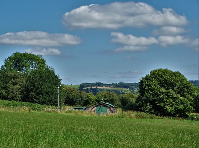
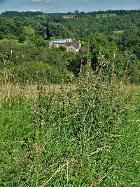
Coumbs Wood is a picturesque woodland located in Derbyshire, England. Covering an area of approximately 50 acres, it is nestled within the beautiful Peak District National Park. The wood is situated near the village of Belper and is easily accessible by both car and public transportation.

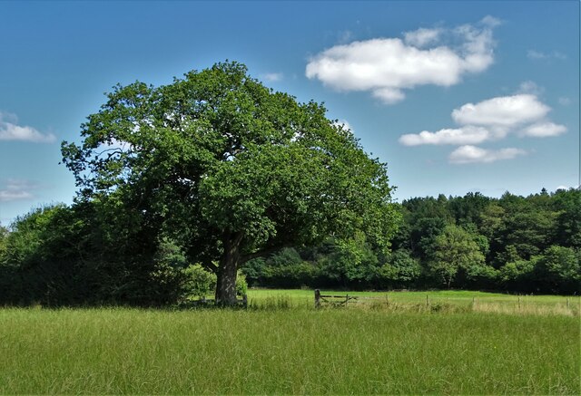
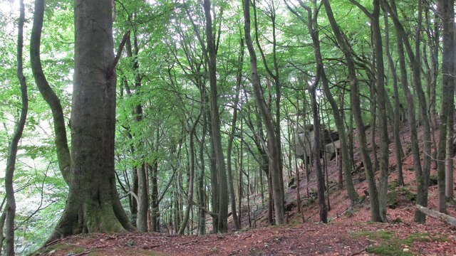
The woodland is predominantly made up of native broadleaf trees such as oak, beech, and birch, creating a diverse and vibrant ecosystem. The dense canopy of these trees provides a habitat for a wide variety of wildlife species, including squirrels, deer, and numerous bird species. The wood is a popular destination for nature enthusiasts and birdwatchers due to its rich biodiversity.

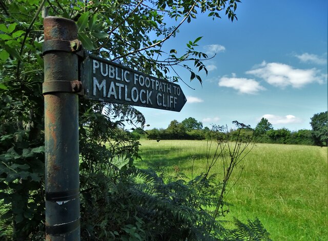
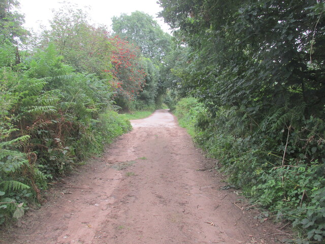
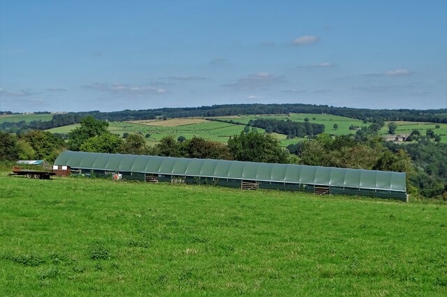
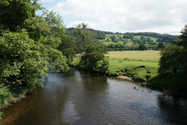
Coumbs Wood offers a network of well-maintained footpaths, allowing visitors to explore the area and enjoy its natural beauty. These paths wind through the wood, leading to scenic viewpoints and tranquil spots. The wood is particularly stunning during the autumn months when the foliage turns vibrant shades of red, orange, and gold.

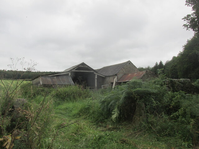
In addition to its natural beauty, Coumbs Wood also has historical significance. It is believed that the wood has been in existence for centuries, with evidence of prehistoric settlements in the surrounding areas. The wood has also been used for various purposes over the years, including timber production and as a source of charcoal.

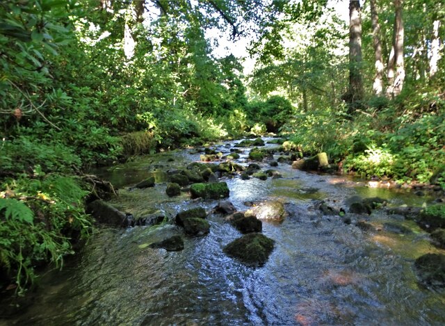
Overall, Coumbs Wood in Derbyshire offers a peaceful and idyllic escape for nature lovers and history enthusiasts alike. With its diverse flora and fauna, well-maintained paths, and breathtaking scenery, it is a must-visit destination for anyone seeking a connection with nature in the heart of the Peak District.

If you have any feedback on the listing, please let us know in the comments section below.
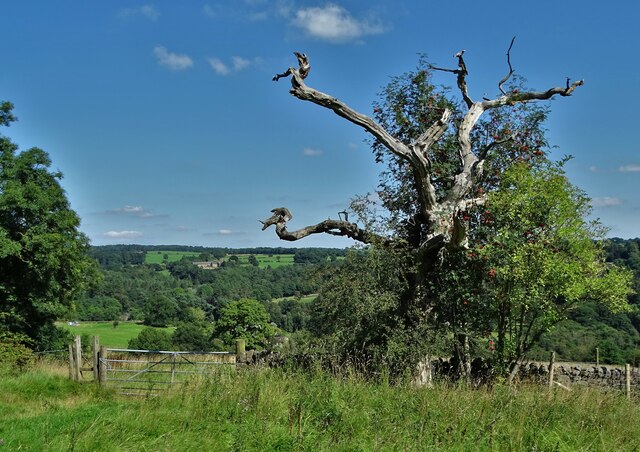
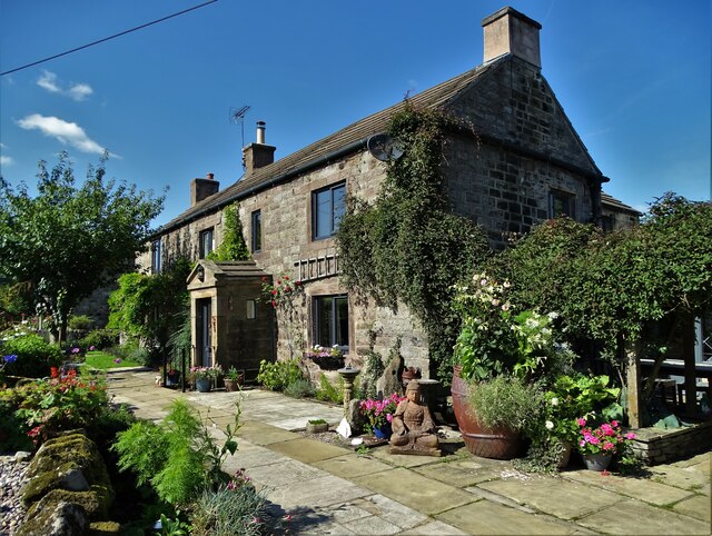
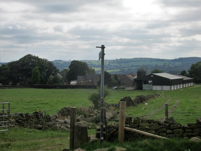
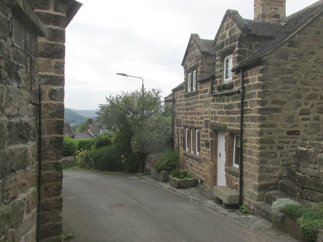
Coumbs Wood Images

Images are sourced within 2km of 53.10954/-1.5323468 or Grid Reference SK3157. Thanks to Geograph Open Source API. All images are credited.

View to a water pumping station North of Carr Lane between Riber and Tansley
View to a water pumping station
North of Carr Lane between Riber and Tansley
Footpath to Matlock Cliff From Littlemoor Lane
Footpath to Matlock Cliff
From Littlemoor Lane
Oak tree near Littlemoor Farm
Mill House, Lea Mill With the old mill pond in the foreground now an attractive garden feature.
Mill House, Lea Mill
With the old mill pond in the foreground now an attractive garden feature.
Lea Brook Flowing through Upper Doe Carr Wood
Lea Brook
Flowing through Upper Doe Carr Wood
North of Coumbs Wood looking towards Dethick
The farmhouse - Hearthstone Farm
Upper Holloway Farm Walking along the footpath that runs down towards the farm.
Upper Holloway Farm
Walking along the footpath that runs down towards the farm.
Cottages in Holloway Narrow street in the village.
Cottages in Holloway
Narrow street in the village.
Intake Lane Close to Birchwood Farm campsite.
Intake Lane
Close to Birchwood Farm campsite.
Old barn alongside the Midshires Way Intake Lane.
Old barn alongside the Midshires Way
Intake Lane.
Bauston Tor In the trees above the Incline.
Bauston Tor
In the trees above the Incline.
View to Riber Castle from Hearthstone Lane
View to Low Leas House ...and beyond that to Dethick with its church tower peeping above the trees. Dethick was the home of Anthony Babington after whom The Babington Plot of 1586 was named. It was a plan born out of bitter religious competition that would have involved the assassination of Queen Elizabeth I.
View to Low Leas House
...and beyond that to Dethick with its church tower peeping above the trees. Dethick was the home of Anthony Babington after whom The Babington Plot of 1586 was named. It was a plan born out of bitter religious competition that would have involved the assassination of Queen Elizabeth I.
Matlock town sign on Littlemoor Lane
Modern barn on a hillside by High Leas Farm
Raised path along the street at Lea. A quiet little village.
Raised path along the street at Lea.
A quiet little village.
River Derwent at Cromford Looking downstream from the Mill Road bridge.
River Derwent at Cromford
Looking downstream from the Mill Road bridge.
Show me another place!

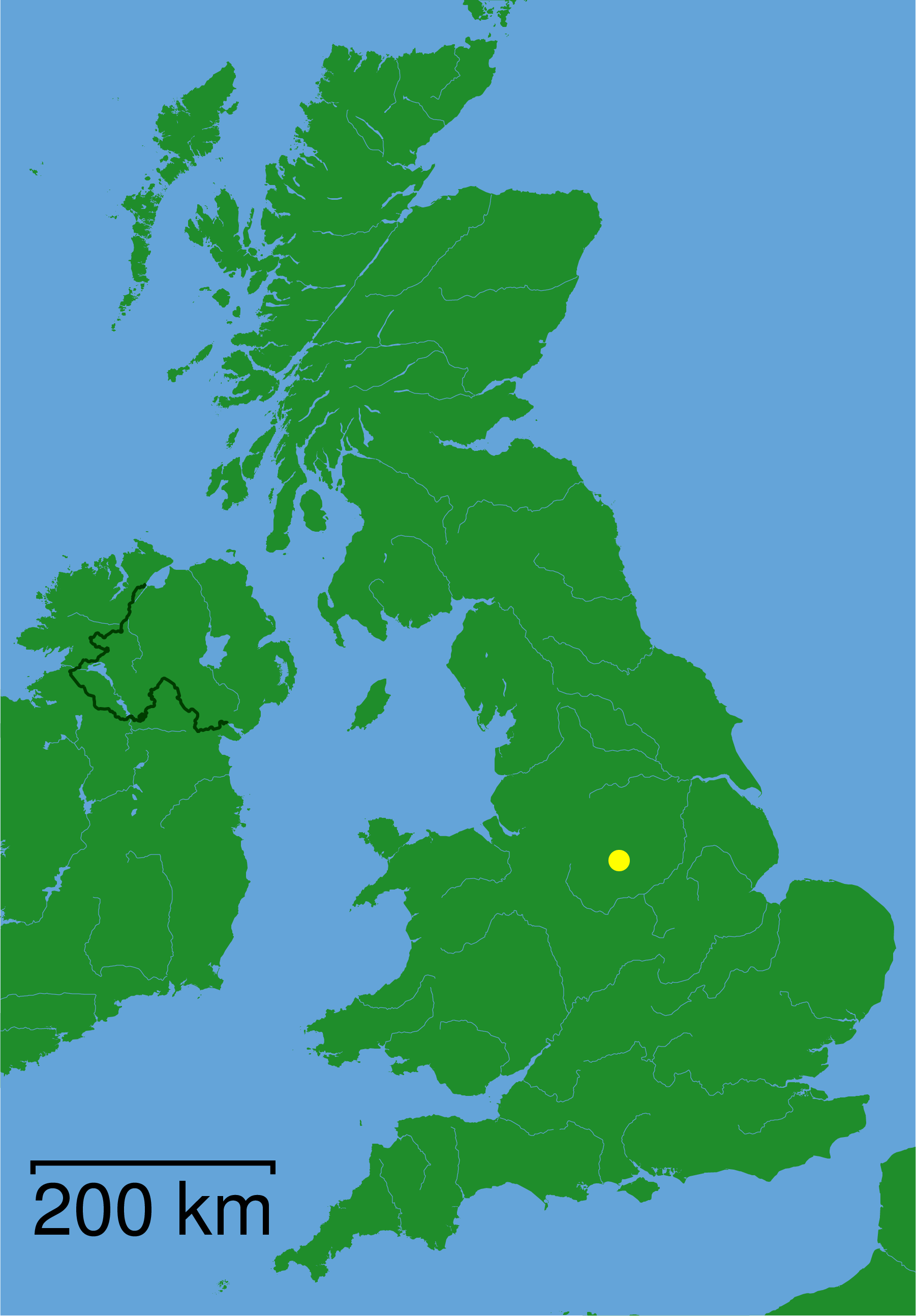
Coumbs Wood is located at Grid Ref: SK3157 (Lat: 53.10954, Lng: -1.5323468)

Administrative County: Derbyshire

District: Derbyshire Dales

Police Authority: Derbyshire

What 3 Words

///careless.echo.importing. Near Cromford, Derbyshire

Related Wikis

Christ Church, Holloway

Christ Church, Holloway is a Grade II* listed parish church in the Church of England in Holloway, Derbyshire. == History == The foundation stone was laid...

High Peak Junction

High Peak Junction, near Cromford, Derbyshire, England, is the name now used to describe the site where the former Cromford and High Peak Railway (C&HPR...

Cromford railway station

Cromford railway station is a Grade II listed railway station owned by Network Rail and managed by East Midlands Railway. It is located in the village...

Leawood Pump House

The Leawood Pump House (also known as High Peak Pump House) was built near Cromford, Derbyshire, England in 1849 to supply water to the Cromford Canal...

Derwent Valley Heritage Way

The Derwent Valley Heritage Way (DVHW) is a 55 miles (89 km) waymarked footpath along the Derwent Valley through the Peak District (as far as Rowsley)...
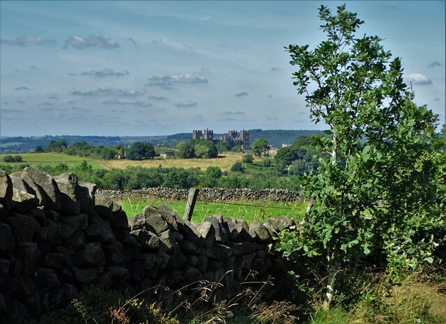
Riber

Riber is a hamlet in the civil parish of Matlock Town, in the Derbyshire Dales district, in the county of Derbyshire, England. It is situated high on a...

St John the Baptist's Church, Dethick

St John the Baptist's Church, Dethick is a Grade II* listed parish church in the Church of England in Dethick, Derbyshire. == History == The church was...

Cromford Wharf

Cromford Wharf is at Cromford in Derbyshire, England. It is located at the northern terminus of the Cromford Canal, which opened in 1794 and ran 14.5 miles...

Nearby Amenities

Located within 500m of 53.10954,-1.5323468
Barrier: stile
Stile: squeezer
Lat/Long: 53.1131925/-1.5306844
Barrier: stile
Steps: 2
Stile: stepover
Lat/Long: 53.1135016/-1.5348713
Barrier: stile
Material: wood
Steps: 1
Stile: stepover
Lat/Long: 53.1065782/-1.5277836
Barrier: stile
Material: wood
Steps: 1
Stile: stepover
Lat/Long: 53.1073971/-1.528318
Barrier: stile
Steps: 1
Stile: stepover
Lat/Long: 53.1064757/-1.5276562
Barrier: stile
Material: stone
Steps: 1
Stile: stepover
Lat/Long: 53.1083777/-1.5292373
Ele: 164.0000000
Lat/Long: 53.1092093/-1.532468
Barrier: stile
Steps: 2
Stile: stepover
Lat/Long: 53.1111454/-1.5344771
Barrier: stile
Steps: 1
Stile: stepover
Lat/Long: 53.1098912/-1.5336187
Ele: 167
Lat/Long: 53.1051134/-1.5324361
Ele: 167.0000000
Lat/Long: 53.1055004/-1.5329179
Ele: 196.0000000
Lat/Long: 53.1074501/-1.5344416
Ele: 197.0000000
Lat/Long: 53.1079916/-1.5345447
Ele: 199.0000000
Lat/Long: 53.1080295/-1.5345577
Ele: 207.0000000
Lat/Long: 53.1103787/-1.5345698
Ele: 185
Lat/Long: 53.1097432/-1.5353149
Ele: 177
Lat/Long: 53.1091475/-1.5354383
Ele: 171
Lat/Long: 53.1088297/-1.5354632
Bench
Lat/Long: 53.1108091/-1.535125
Barrier: stile
Material: stone
Stile: squeezer
Lat/Long: 53.1067704/-1.5366923
Barrier: stile
Material: wood
Source: survey;gps
Stile: stepover
Lat/Long: 53.1059389/-1.531921
The data included in this document is from www.openstreetmap.org. The data is made available under ODbL.

Have you been to Coumbs Wood?

Leave your review of Coumbs Wood below (or comments, questions and feedback).