Breck's Wood
Wood, Forest in Derbyshire Derbyshire Dales
England
Breck's Wood
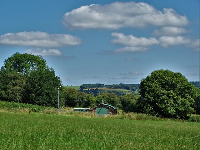
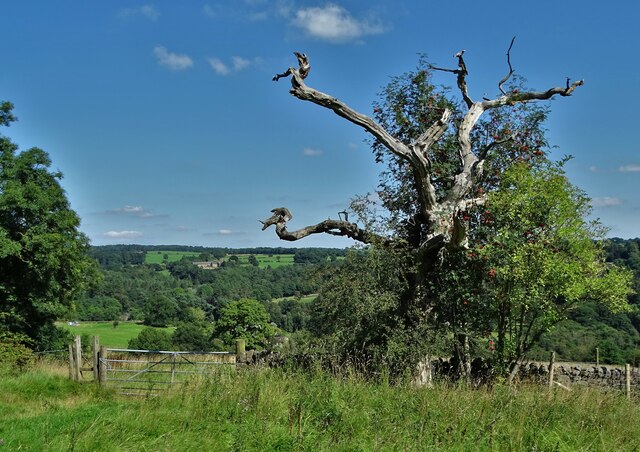
Breck's Wood is a picturesque forest located in Derbyshire, England. Spanning over a vast area, the wood is a popular destination for nature enthusiasts and visitors seeking tranquility amidst the stunning natural surroundings.
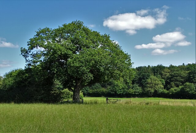
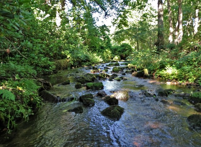
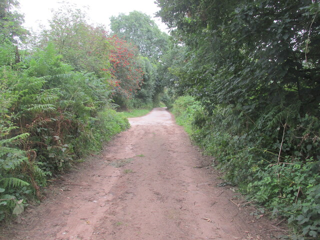
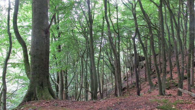
The wood is characterized by its dense canopy of towering trees, mainly consisting of oak, birch, and beech. These trees create a lush green landscape that changes dramatically with the seasons, offering a vibrant display of colors throughout the year. The forest floor is covered with a rich carpet of moss, ferns, and wildflowers, adding to the wood's charm and beauty.
Breck's Wood is home to a diverse range of wildlife, making it an ideal spot for animal lovers and birdwatchers. Visitors may be fortunate enough to spot deer, foxes, badgers, and a variety of bird species, including woodpeckers and owls. The wood's peaceful atmosphere lends itself to observing and appreciating these creatures in their natural habitat.
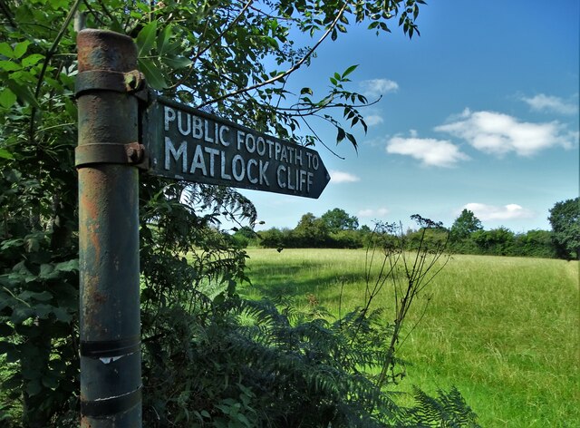
For those looking to explore the wood further, there are well-maintained walking trails that snake through the forest, allowing visitors to immerse themselves in its tranquility. These paths offer a chance to discover hidden gems, such as ancient trees, babbling brooks, and small clearings perfect for picnics.
Breck's Wood is not only a haven for nature enthusiasts but also an important conservation area. Efforts are made to protect and preserve the forest's unique ecosystem, ensuring that future generations can continue to enjoy its beauty and tranquility.
If you have any feedback on the listing, please let us know in the comments section below.
Breck's Wood Images
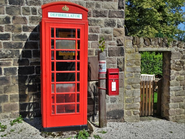
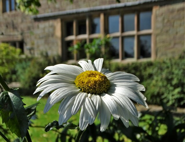
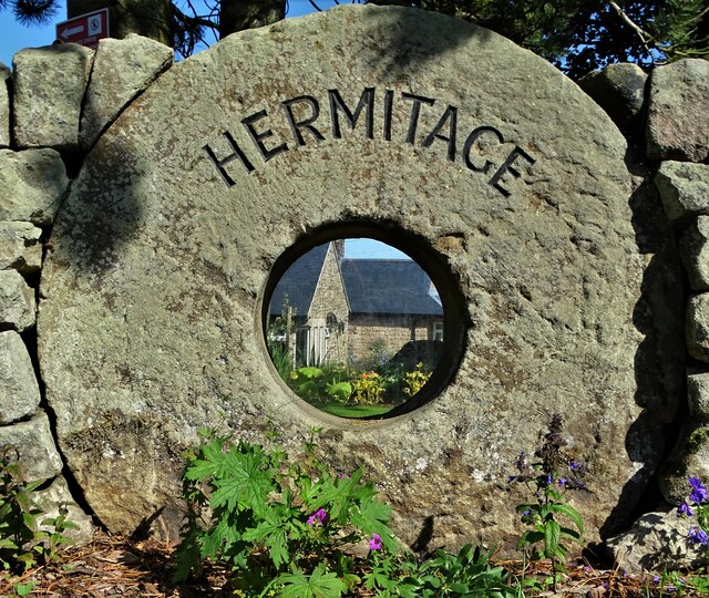
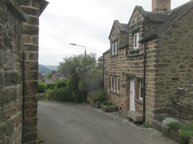
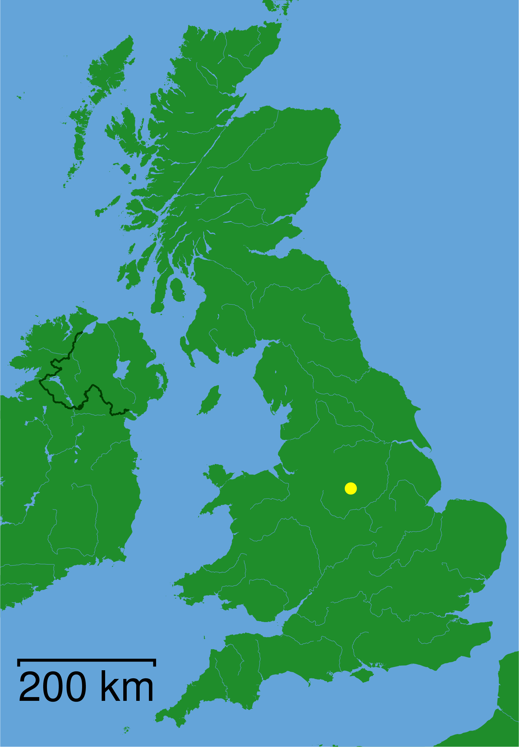
Images are sourced within 2km of 53.112642/-1.5373179 or Grid Reference SK3157. Thanks to Geograph Open Source API. All images are credited.

Breck's Wood is located at Grid Ref: SK3157 (Lat: 53.112642, Lng: -1.5373179)
Administrative County: Derbyshire
District: Derbyshire Dales
Police Authority: Derbyshire
What 3 Words
///spellings.upper.recur. Near Cromford, Derbyshire
Nearby Locations
Related Wikis

Cromford railway station
Cromford railway station is a Grade II listed railway station owned by Network Rail and managed by East Midlands Railway. It is located in the village...

Derwent Valley Heritage Way
The Derwent Valley Heritage Way (DVHW) is a 55 miles (89 km) waymarked footpath along the Derwent Valley through the Peak District (as far as Rowsley)...
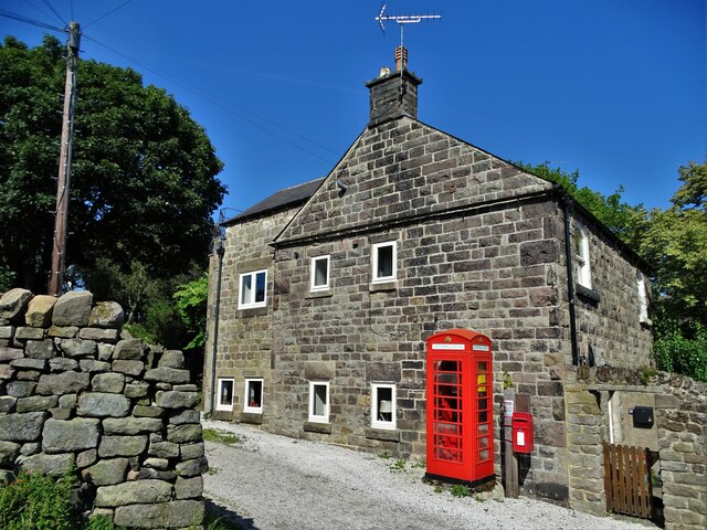
Riber
Riber is a hamlet in the civil parish of Matlock Town, in the Derbyshire Dales district, in the county of Derbyshire, England. It is situated high on a...

Christ Church, Holloway
Christ Church, Holloway is a Grade II* listed parish church in the Church of England in Holloway, Derbyshire. == History == The foundation stone was laid...
Cromford Wharf
Cromford Wharf is at Cromford in Derbyshire, England. It is located at the northern terminus of the Cromford Canal, which opened in 1794 and ran 14.5 miles...
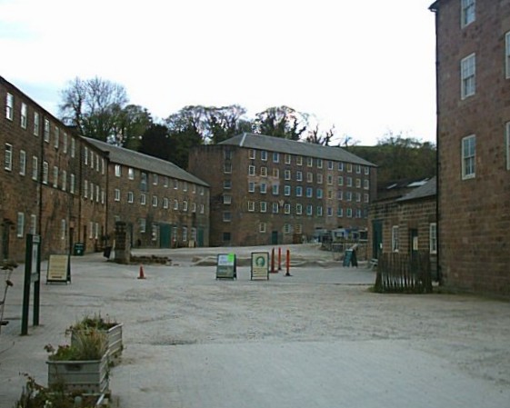
Cromford Mill
Cromford Mill is the world's first water-powered cotton spinning mill, developed by Richard Arkwright in 1771 in Cromford, Derbyshire, England. The mill...
High Peak Junction
High Peak Junction, near Cromford, Derbyshire, England, is the name now used to describe the site where the former Cromford and High Peak Railway (C&HPR...
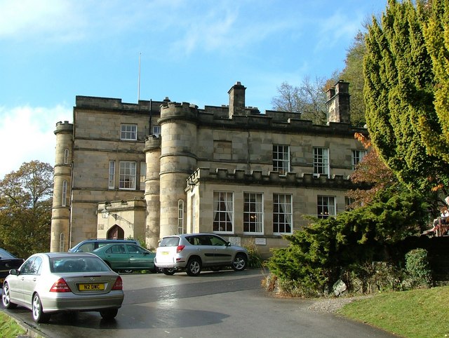
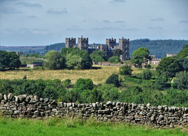
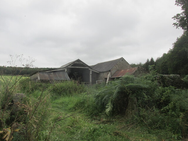
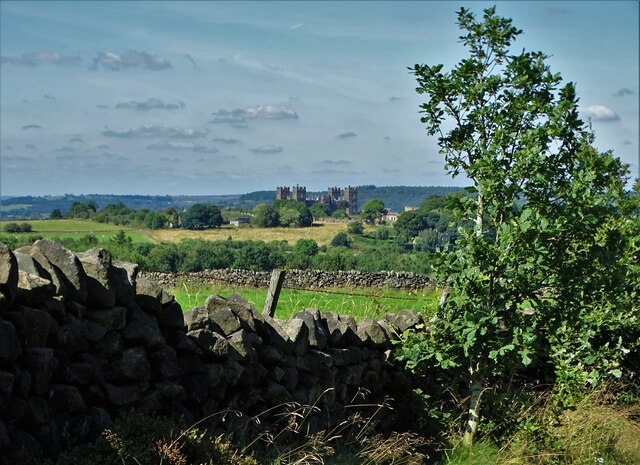
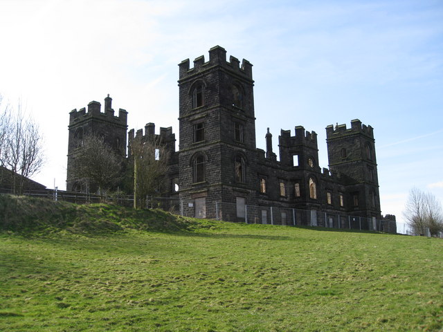
Willersley Castle
Willersley Castle is a late 18th-century country mansion above the River Derwent at Cromford, Derbyshire, outside Peak District National Park. The castle...
Nearby Amenities
Located within 500m of 53.112642,-1.5373179Have you been to Breck's Wood?
Leave your review of Breck's Wood below (or comments, questions and feedback).