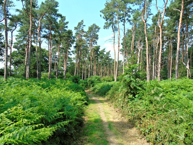
Wiggerland Wood

Wood, Forest in Warwickshire Warwick

England

Wiggerland Wood

Banbury Road, B4100
Banbury Road, B4100 Credit: David Dixon

Wiggerland Wood is a picturesque forest located in the county of Warwickshire, England. Covering an area of approximately 100 acres, the woodland is known for its natural beauty, diverse flora and fauna, and tranquil atmosphere.

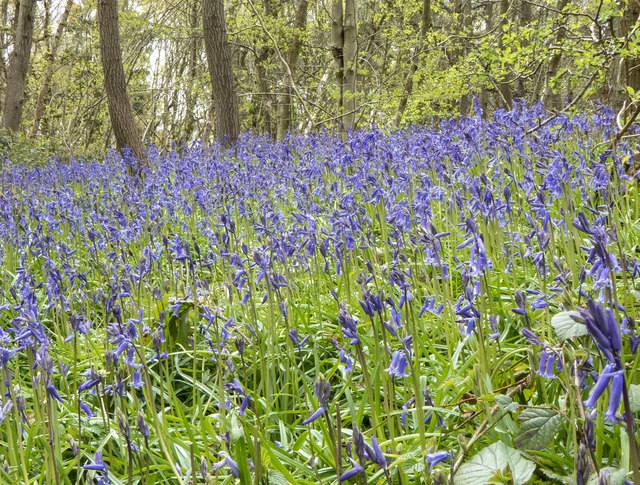
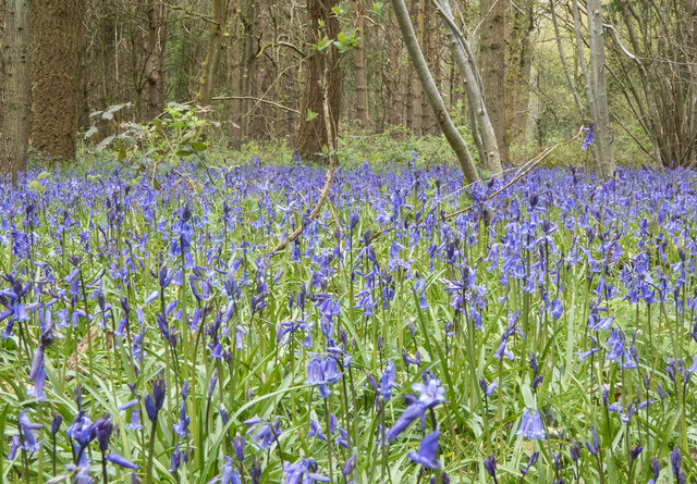
The wood is primarily made up of native broadleaf trees such as oak, beech, and ash, which create a dense canopy overhead, providing shade and shelter for a wide variety of wildlife. The forest floor is carpeted with an array of wildflowers, including bluebells, primroses, and wood anemones, adding a burst of color to the landscape during springtime.

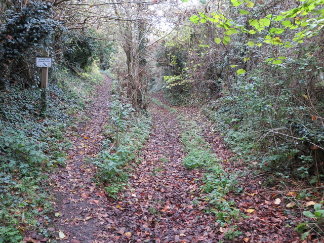
Wiggerland Wood is a popular destination for nature lovers and outdoor enthusiasts, offering numerous walking trails and paths that allow visitors to explore its hidden corners. The wood is also home to several species of birds, including woodpeckers, owls, and songbirds, making it a haven for birdwatchers.

In addition to its natural beauty, Wiggerland Wood boasts a rich history. The forest has been a part of Warwickshire's landscape for centuries and has witnessed various historical events. It is said that the wood was once a hunting ground for nobles and aristocrats, and remnants of ancient hunting lodges can still be found within its boundaries.

Overall, Wiggerland Wood is a charming and enchanting woodland offering a peaceful retreat for those seeking solace in nature. With its stunning scenery, abundant wildlife, and historical significance, it is a place that truly captures the essence of Warwickshire's natural heritage.

If you have any feedback on the listing, please let us know in the comments section below.

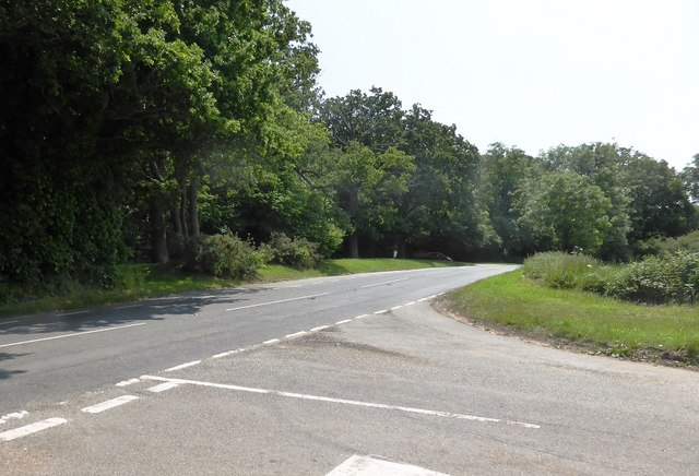
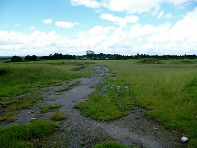
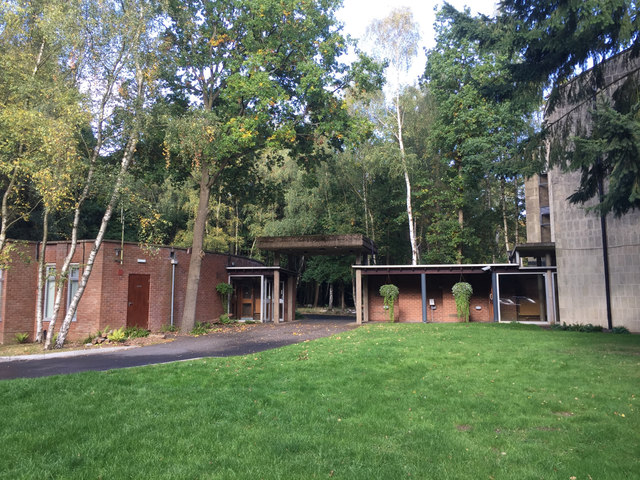
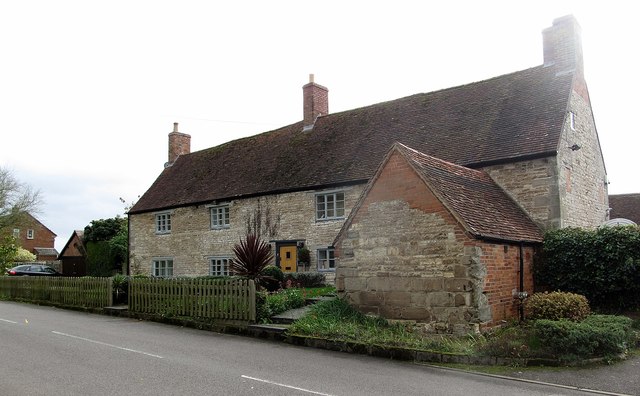
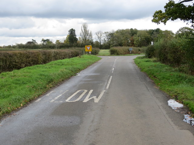
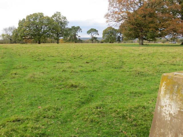
Wiggerland Wood Images

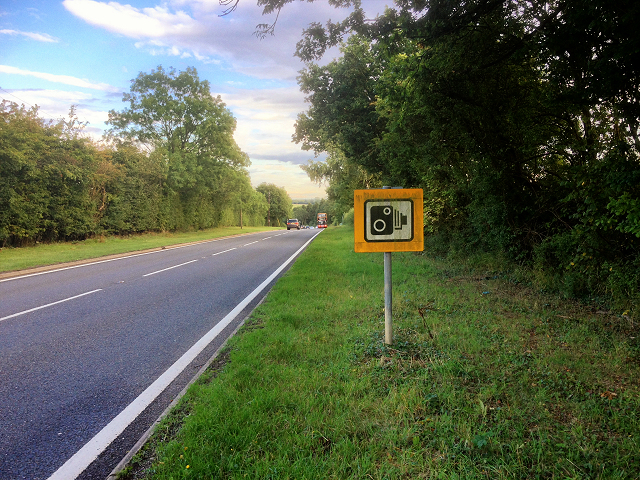
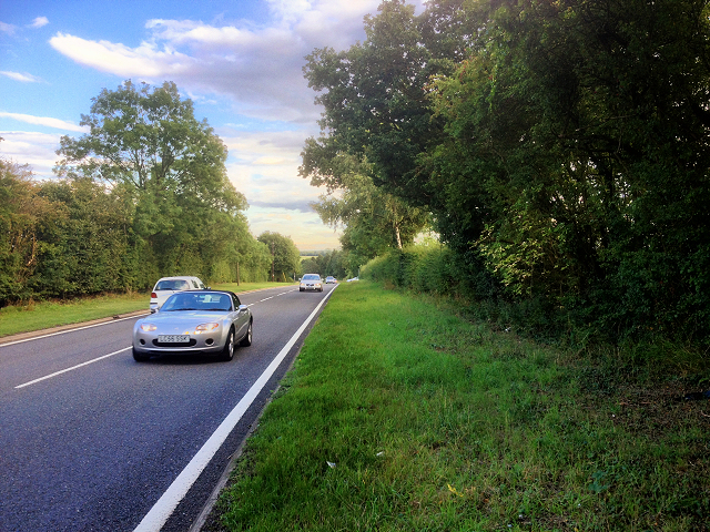
Images are sourced within 2km of 52.229438/-1.5448362 or Grid Reference SP3159. Thanks to Geograph Open Source API. All images are credited.

Banbury Road, B4100
Banbury Road, B4100
B4100, Banbury Road near to Ashorne
Unibus on Banbury Road Stagecoach in Warwickshire Dennis Trident 2/Alexander ALX400 number 17059 (T659 KPU), painted in the Unibus livery is pictured here on Banbury Road,  working the X17 service to Leamington.
Unibus on Banbury Road
Stagecoach in Warwickshire Dennis Trident 2/Alexander ALX400 number 17059 (T659 KPU), painted in the Unibus livery is pictured here on Banbury Road, working the X17 service to Leamington.
Bluebells in Oakley Wood Bang on time, 1st May, the bluebells are in flower.
Bluebells in Oakley Wood
Bang on time, 1st May, the bluebells are in flower.
Bluebells in Oakley Wood Bang on time, 1st May, the bluebells are in flower.
Bluebells in Oakley Wood
Bang on time, 1st May, the bluebells are in flower.
The B4087 at Oakley Wood
Oakley Wood Old workings in a field on the road to Bishop's Tachbrook.
Oakley Wood
Old workings in a field on the road to Bishop's Tachbrook.
Covered way, South Warwickshire Crematorium, Oakley Wood It shelters the path between the office and the South Chapel, right. <span class="nowrap"><a title="https://www.warwickdc.gov.uk/info/20645/oakley_wood_crematorium" rel="nofollow ugc noopener" href="https://www.warwickdc.gov.uk/info/20645/oakley_wood_crematorium">Link</a><img style="margin-left:2px;" alt="External link" title="External link - shift click to open in new window" src="https://s1.geograph.org.uk/img/external.png" width="10" height="10"/></span>
Covered way, South Warwickshire Crematorium, Oakley Wood
It shelters the path between the office and the South Chapel, right. LinkExternal link
Ashorne Cottages At the eastern end of the village.
Ashorne Cottages
At the eastern end of the village.
Crossroads to the east of Ashorne Looking north-eastward.
Crossroads to the east of Ashorne
Looking north-eastward.
View from the Triangulation Pillar on Ashorne Hill Looking north-westward.
View from the Triangulation Pillar on Ashorne Hill
Looking north-westward.
Division of path and Bridleway to Ashorne Hill Looking north-eastward.
Division of path and Bridleway to Ashorne Hill
Looking north-eastward.
Fly-tipping in a field entrance by the B4087 south of Bishop’s Tachbrook Unexplained landforms in the field are perhaps shelter for livestock. On the right, traffic on the M40; junction 13 is left of centre. The B4087 Tachbrook Road-Oakley Wood Road comes south from Leamington: a common sight is a funeral cortège heading for the Mid-Warwickshire Crematorium in Oakley Wood <a href="https://www.geograph.org.uk/photo/3466342">SP3059 : Mid Warwickshire Crematorium, South Chapel</a>.
Fly-tipping in a field entrance by the B4087 south of Bishop’s Tachbrook
Unexplained landforms in the field are perhaps shelter for livestock. On the right, traffic on the M40; junction 13 is left of centre. The B4087 Tachbrook Road-Oakley Wood Road comes south from Leamington: a common sight is a funeral cortège heading for the Mid-Warwickshire Crematorium in Oakley Wood SP3059 : Mid Warwickshire Crematorium, South Chapel.
The M40 runs under a farm track
The M40 runs under a footbridge
Ashorne Hill House
Ashorne Hill House
Solar farm by Tollgate Farm Glimpsed from the B4087 Oakley Wood Road; the northeastern edge is visible from the M40. The panels face south in rows running east-west. The land falls away to the northeast (right to left in the photo), from about 85m down to 75m. The site covers perhaps nine hectares.
Solar farm by Tollgate Farm
Glimpsed from the B4087 Oakley Wood Road; the northeastern edge is visible from the M40. The panels face south in rows running east-west. The land falls away to the northeast (right to left in the photo), from about 85m down to 75m. The site covers perhaps nine hectares.
Path through Oakley Wood
Show me another place!

Wiggerland Wood is located at Grid Ref: SP3159 (Lat: 52.229438, Lng: -1.5448362)

Administrative County: Warwickshire

District: Warwick

Police Authority: Warwickshire

What 3 Words

///kidney.circulate.belts. Near Wellesbourne, Warwickshire

Related Wikis

Ashorne Hall Railway

The Ashorne Hall Railway was a ridable miniature railway in Warwickshire, England. It was conceived as an added attraction to the collection of mechanical...
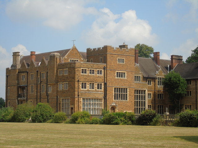
Ashorne Hill House

Ashorne Hill House, Ashorne, Warwickshire, England is a late Victorian country house built for Arthur and Ethel Tree by the architect Edward Goldie between...

Ashorne

Ashorne is a village in Warwickshire, West Midlands, England and part of the parish of Newbold Pacey. Ashorne is 7 miles (11 km) from Stratford-upon-Avon...

Bishop's Tachbrook

Bishop's Tachbrook is a village and civil parish in the Warwick District of Warwickshire, England. The village is about 3 miles (5 km) south of Warwick...

Nearby Amenities

Located within 500m of 52.229438,-1.5448362
Bus Stop
Moreton Morrell Road
Bench: no
Bin: no
Bus: yes
Lit: no
Naptan AtcoCode: 4200F150011
Naptan Bearing: NW
Naptan CommonName: Moreton Morrell Road
Naptan Indicator: Adj
Naptan NaptanCode: wardjgjt
Naptan Street: Banbury Road
Naptan Verified: no
Public Transport: platform
Shelter: no
Source: naptan_import
Tactile Paving: no
Lat/Long: 52.2313599/-1.5482165
Moreton Morrell Road
Naptan AtcoCode: 4200F150012
Naptan Bearing: SE
Naptan BusStopType: CUS
Naptan CommonName: Moreton Morrell Road
Naptan Indicator: Opp
Naptan NaptanCode: wardjgjw
Naptan Street: Banbury Road
Naptan Verified: no
Source: naptan_import
Lat/Long: 52.2314399/-1.547996
Barrier: stile
Lat/Long: 52.2277395/-1.5461743
Post Box
Collection Times: Mo-Fr 16:15; Sa 10:45
Operator: Royal Mail
Operator Wikidata: Q638098
Post Box Design: hovis
Post Box Mounting: telegraph_pole
Post Box Type: lamp
Ref: CV33 52
Royal Cypher: VR
Royal Cypher Wikidata: Q33102356
Source: survey
Lat/Long: 52.2320957/-1.5490619
The data included in this document is from www.openstreetmap.org. The data is made available under ODbL.

Have you been to Wiggerland Wood?

Leave your review of Wiggerland Wood below (or comments, questions and feedback).