Dewes Green

Settlement in Essex Uttlesford

England

Dewes Green

Clavering, Essex This picture shows the approach to St. Mary and St. Clement's church, a 14th century building with many interesting features. The fine 15th century house is believed to have originally been built as almshouses.
Clavering, Essex Credit: Robert Edwards

The requested URL returned error: 429 Too Many Requests

If you have any feedback on the listing, please let us know in the comments section below.
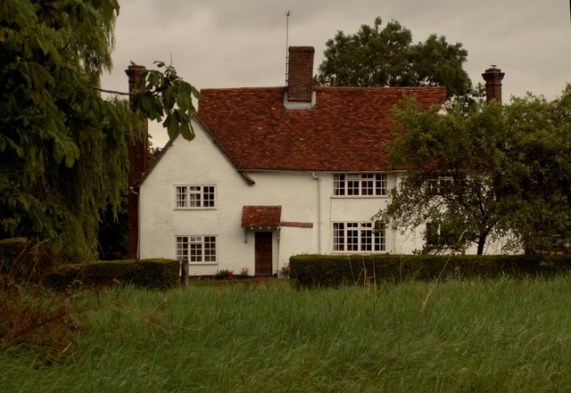
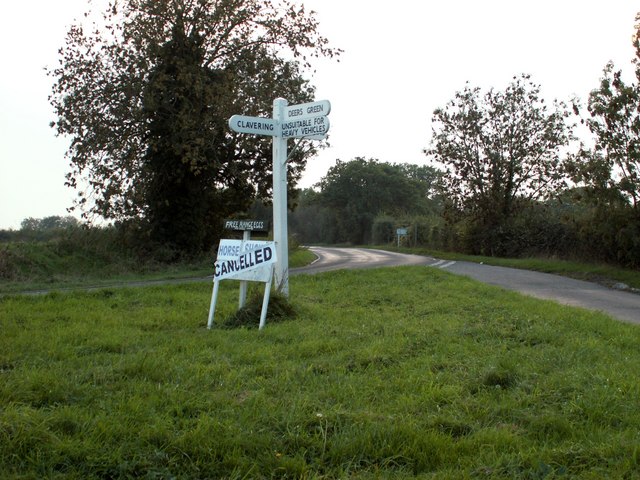
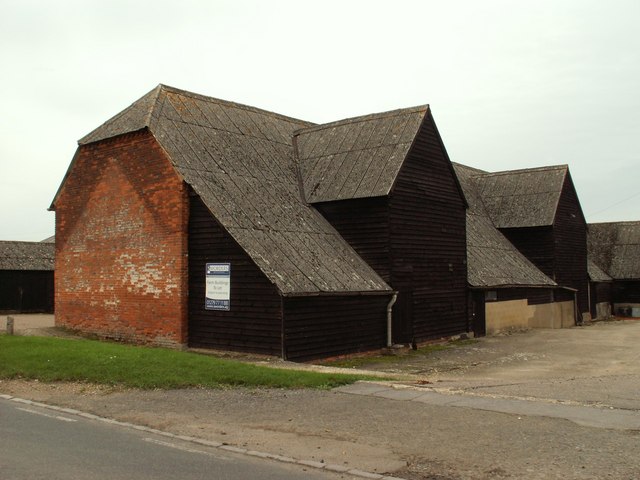
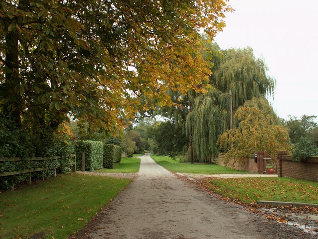
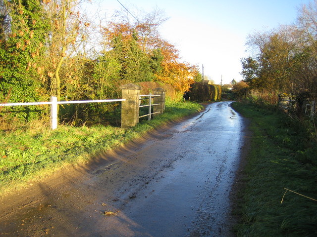
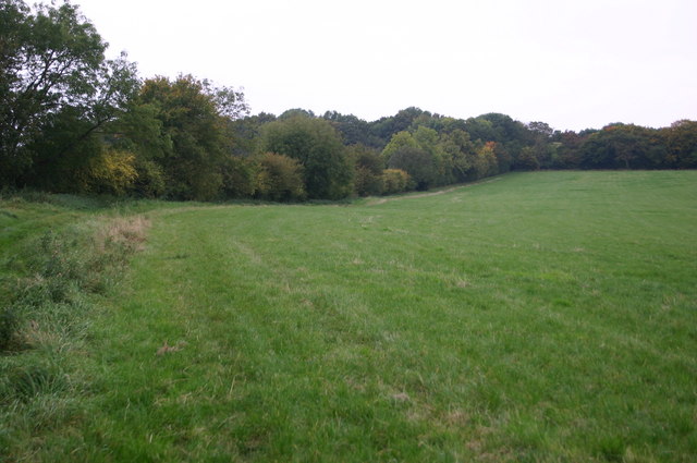
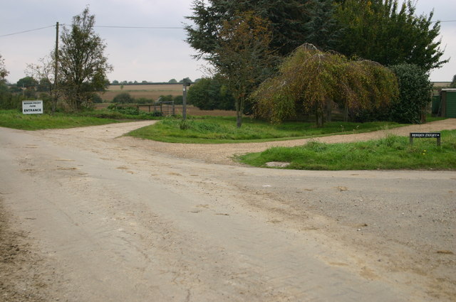
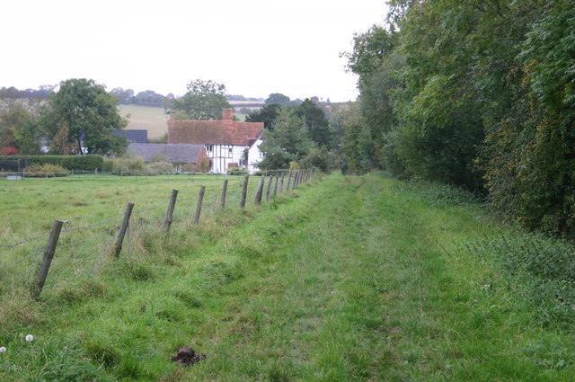
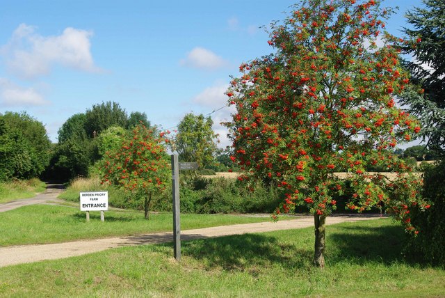
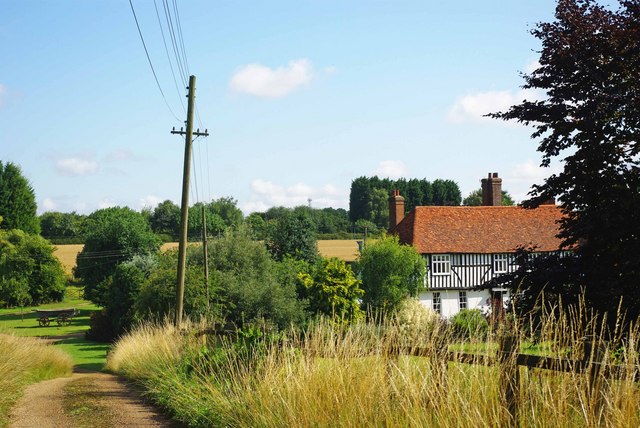
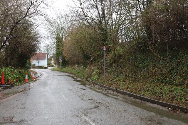
Dewes Green Images

Images are sourced within 2km of 51.95208/0.118026 or Grid Reference TL4530. Thanks to Geograph Open Source API. All images are credited.

Clavering, Essex This picture shows the approach to St. Mary and St. Clement's church, a 14th century building with many interesting features. The fine 15th century house is believed to have originally been built as almshouses.
Clavering, Essex
This picture shows the approach to St. Mary and St. Clement's church, a 14th century building with many interesting features. The fine 15th century house is believed to have originally been built as almshouses.
House at Washall Green, Herts. This appears to be the only house that stands at the junction known as Washall Green, which is near to Brent Pelham.
House at Washall Green, Herts.
This appears to be the only house that stands at the junction known as Washall Green, which is near to Brent Pelham.
Signpost along the B.1038 near Clavering, Essex
Barn at Clavering Hall Farm
A ford at Clavering, Essex
The road at Ford End
Farmhouse at Yew Tree Farm This is a very attractive timber-framed house, probably dating back to the early part of the 16th century.
Farmhouse at Yew Tree Farm
This is a very attractive timber-framed house, probably dating back to the early part of the 16th century.
Deer's Green: Cock Lane The bridge carries Cock Lane over the River Stort.
Deer's Green: Cock Lane
The bridge carries Cock Lane over the River Stort.
Cakebread's Lane Cakebread's Lane heads up from Ford End to Oxbury Wood
Cakebread's Lane
Cakebread's Lane heads up from Ford End to Oxbury Wood
Berden Priory junction Berden Priory junction of roads down to the Priory and Priory Farm
Berden Priory junction
Berden Priory junction of roads down to the Priory and Priory Farm
Cakebread's Lane Cakebread's Lane heads down to Ford End
Cakebread's Lane
Cakebread's Lane heads down to Ford End
Footpath to Berden Priory Another view of  <a href="https://www.geograph.org.uk/photo/579568">TL4630 : Berden Priory junction</a> this time showing the Rowans in fruit.
Footpath to Berden Priory
Another view of TL4630 : Berden Priory junction this time showing the Rowans in fruit.
Mell House This is Mell house near Berden Priory
Mell House
This is Mell house near Berden Priory
Byway Botany This strikingly violet flower was growing next to the byway by <a href="https://www.geograph.org.uk/photo/1413768">TL4630 : Mell House</a> my best guess it that it is Wood Cranes-bill Geranium sylvaticum but I don’t claim to be a botanist!
Byway Botany
This strikingly violet flower was growing next to the byway by TL4630 : Mell House my best guess it that it is Wood Cranes-bill Geranium sylvaticum but I don’t claim to be a botanist!
The river at Deers This river flows around Deers: a nine-acre garden in Deers Green.
The river at Deers
This river flows around Deers: a nine-acre garden in Deers Green.
To the walled garden Through the gate are steps leading to the walled vegetable and fruit garden at Deers.
To the walled garden
Through the gate are steps leading to the walled vegetable and fruit garden at Deers.
Ginns Road, Berden
Ginns Road, Berden
Field by Ginns Road, Berden
Show me another place!

Dewes Green is located at Grid Ref: TL4530 (Lat: 51.95208, Lng: 0.118026)

Administrative County: Essex

District: Uttlesford

Police Authority: Essex

What 3 Words

///easygoing.nuance.bathtubs. Near Stansted Mountfitchet, Essex

Nearby Locations

Dewes Green

Related Wikis

Stocking Pelham

Stocking Pelham is a village and civil parish in the East Hertfordshire district of Hertfordshire, England. It is located on the border with Essex, around...

St Nicholas' Church, Berden

St Nicholas' Church is a Grade I listed parish church in the village of Berden, Essex, England. Of the Early English Gothic style, the church has a Norman...
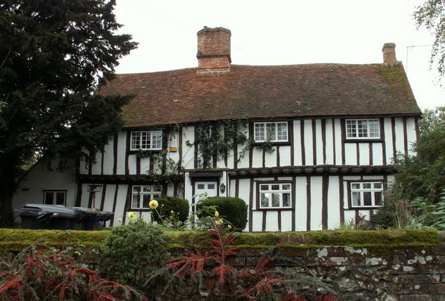
Berden Priory

Berden Priory was a priory in Essex, England. This site now has a Grade II* listed late 16th-century timber-framed house, the centre of Berden Priory Farm...

Berden Hall

Berden Hall is a Grade II* listed Elizabethan country house in Berden, in the Uttlesford District of Essex, England. The house was built in the 1580s....

Nearby Amenities

Located within 500m of 51.95208,0.118026
Power: pole
Lat/Long: 51.9524007/0.1196575
Power: pole
Lat/Long: 51.9524947/0.1244922
Power: pole
Lat/Long: 51.95267/0.1222016
Power: pole
Lat/Long: 51.9519261/0.1193209
Barrier: entrance
Lat/Long: 51.9480273/0.1179456
Barrier: entrance
Lat/Long: 51.9479313/0.116886
The data included in this document is from www.openstreetmap.org. The data is made available under ODbL.

Have you been to Dewes Green?

Leave your review of Dewes Green below (or comments, questions and feedback).