Dewartown

Settlement in Midlothian

Scotland

Dewartown

The drive, Vogrie House
The drive, Vogrie House Credit: Richard Webb

Dewartown is a small rural community located in Midlothian, Scotland. Situated approximately 12 miles south of Edinburgh, it falls within the Midlothian Council area. The village is surrounded by picturesque countryside, offering residents a peaceful and serene setting.

Known for its rich history, Dewartown boasts several historical landmarks. One of the most prominent features is Dewartown Castle, a 16th-century tower house that once served as a stronghold for the local Laird. The castle, although now in ruins, still stands tall and serves as a reminder of the area's past.

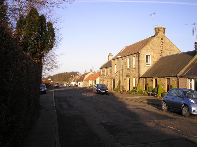
The community of Dewartown is tight-knit, with a population of around 500 residents. The village is characterized by its charming cottages and traditional architecture, which add to its quaint and welcoming atmosphere. Residents enjoy a close sense of community, often participating in local events and activities.

Although small in size, Dewartown offers a range of amenities to its residents. There is a primary school, providing education for local children, and a few local shops catering to daily needs. For additional amenities, residents can easily access nearby towns and cities such as Dalkeith and Edinburgh.

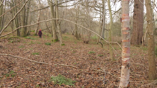
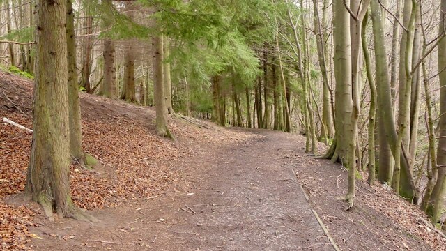
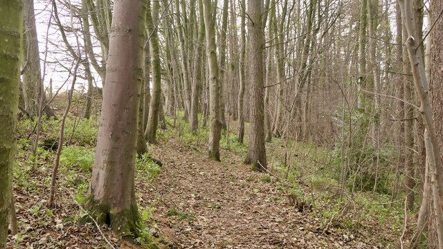
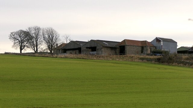
The surrounding countryside provides ample opportunities for outdoor activities, including hiking, cycling, and fishing. The lush green fields and rolling hills make Dewartown an ideal location for those seeking a peaceful and rural lifestyle.

In conclusion, Dewartown is a charming rural community in Midlothian, Scotland, offering a rich history, a close-knit community, and a picturesque countryside setting.

If you have any feedback on the listing, please let us know in the comments section below.
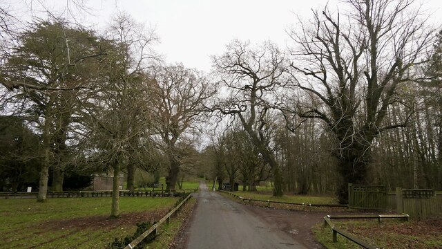
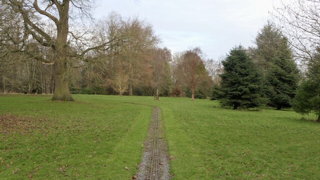
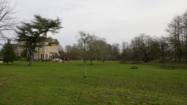
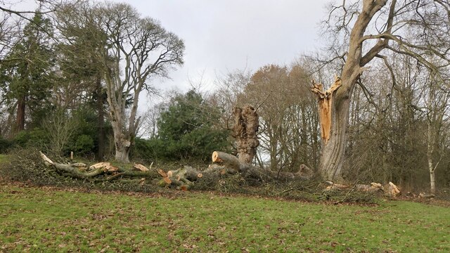
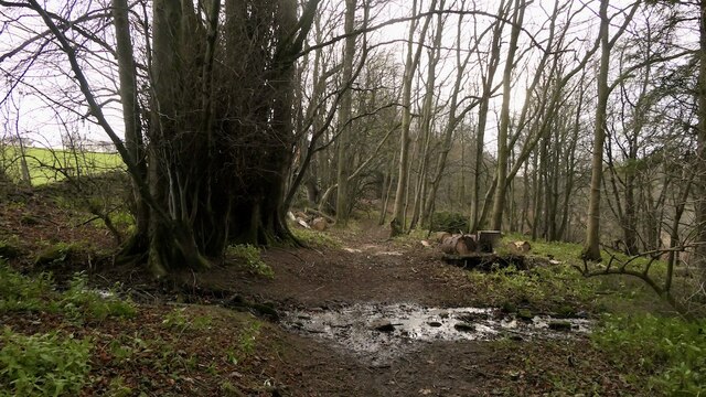
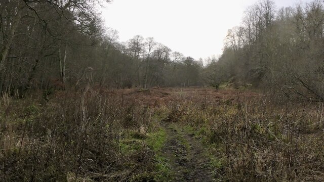
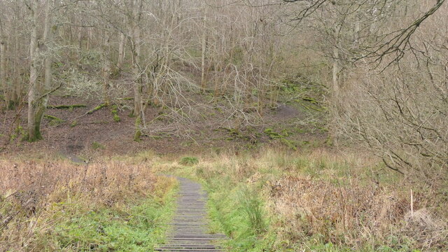
Dewartown Images

Images are sourced within 2km of 55.866419/-2.994434 or Grid Reference NT3764. Thanks to Geograph Open Source API. All images are credited.

The drive, Vogrie House
Railway, Vogrie Country Park
Vogrie House Notes on the history of this estate, now owned and run as a country park by Midlothian Council can be found here: <a href="https://www.geograph.org.uk/photo/2141929">NT3863 : Vogrie House</a>
Vogrie House
Notes on the history of this estate, now owned and run as a country park by Midlothian Council can be found here: NT3863 : Vogrie House
Storm damage, Vogrie Country Park After the northerly gales on 26th November 2021. There are a lot of aged trees here.
Storm damage, Vogrie Country Park
After the northerly gales on 26th November 2021. There are a lot of aged trees here.
Giant trike sculpture, Vogrie Country Park
Former field, Vogrie Now an open space in the country park.
Former field, Vogrie
Now an open space in the country park.
Pond, Vogrie Country Park
Fallen tree, Vogrie Country Park There is a lot of fallen dead wood at Vogrie which enhances the biodiversity of the woodlands.
Fallen tree, Vogrie Country Park
There is a lot of fallen dead wood at Vogrie which enhances the biodiversity of the woodlands.
Crow Wood, Vogrie
Crow Wood, Vogrie
Path, Vogrie Wood Descending to the Tyne Water, following the Vogrie Burn.
Path, Vogrie Wood
Descending to the Tyne Water, following the Vogrie Burn.
Tyne Water, Vogrie One of those rivers which is a tributary of a watercourse with a similar name. It flows into the River Tyne which gains much of its flow from the Humbie/Birnie/Colstoun Waters.
Tyne Water, Vogrie
One of those rivers which is a tributary of a watercourse with a similar name. It flows into the River Tyne which gains much of its flow from the Humbie/Birnie/Colstoun Waters.
Path, Vogrie Wood On the edge of the woodland, high above the Tyne Water.
Path, Vogrie Wood
On the edge of the woodland, high above the Tyne Water.
Turniedykes by Pathhead
Turniedykes Strip Not a stripwood, but part of the Vogrie Estate woodlands. The path runs along the eastern edge of the wood, high above the Tyne Water. The burn is the outflow of field drains.
Turniedykes Strip
Not a stripwood, but part of the Vogrie Estate woodlands. The path runs along the eastern edge of the wood, high above the Tyne Water. The burn is the outflow of field drains.
Alderdean Marshland beside the Tyne Water, Vogrie
Alderdean
Marshland beside the Tyne Water, Vogrie
Path, Alderdean Raised walkway over a marsh.
Path, Alderdean
Raised walkway over a marsh.
Cafe, Vogrie House
Cafe, Vogrie House
Drive to Vogrie House The grounds of the 19th century Vogrie House are now a Country Park, managed by Midlothian Council. The hut is an information point.
Drive to Vogrie House
The grounds of the 19th century Vogrie House are now a Country Park, managed by Midlothian Council. The hut is an information point.
Show me another place!

Dewartown is located at Grid Ref: NT3764 (Lat: 55.866419, Lng: -2.994434)

Unitary Authority: Midlothian

Police Authority: The Lothians and Scottish Borders

What 3 Words

///stopwatch.rocked.darling. Near Mayfield, Midlothian

Nearby Locations

Dewartown

Related Wikis

Dewartown

Dewartown is a small hamlet in Midlothian, Scotland (near Pathhead and Mayfield). Its name relates to the Dewar family who owned the nearby Vogrie House...
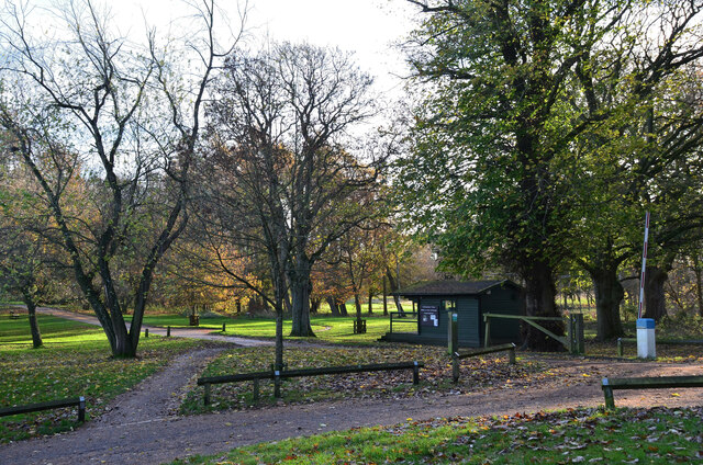
Vogrie Country Park

Vogrie Country Park in Scotland is managed by Midlothian Council. It consists of a woodland estate surrounding the Victorian Vogrie House. It is located...

Vogrie House

Vogrie House forms the centrepiece of Vogrie Country Park in Midlothian. It was built for James Dewar and his family in 1876 by Andrew Heiton, the town...

Edgehead

Edgehead (also known as Chesterhill) is a village in Midlothian, Scotland. == Location == Edgehead is situated east of Dewartown and Mayfield, north-west...

Related Videos

Laughing in the Rain: Exploring the Magical Preston Hall with Friendly Horses and Wild Deer

Join me on a heartwarming and hilarious adventure as we explore the stunning Preston Hall in Middlothian, Scotland.

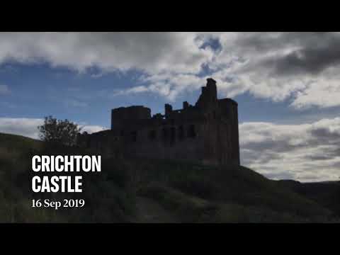
Crichton Castle - beautiful 14th century castle in Midlothian, Scotland

My iPad made this video when it was bored, so I thought I might as well upload it to YouTube. I quite often visit Crichton Castle but ...

CRICHTON CASTLE from above in 4K

Hello friends, I decided to explore Scottish historical heritage every week, please Support my filming by subscribing to my channel ...

Nearby Amenities

Located within 500m of 55.866419,-2.994434
Post Box
Collection Times: Mo-Fr 16:00; Sa 11:15
Operator: Royal Mail
Post Box Type: lamp
Ref: EH23 280
Royal Cypher: scottish_crown
Lat/Long: 55.8663463/-2.9945753
Power: tower
Lat/Long: 55.8656542/-2.9910181
Dewartown
Place: hamlet
Wikidata: Q5268091
Wikipedia: en:Dewartown
Lat/Long: 55.8664119/-2.9942739
Power: tower
Lat/Long: 55.864015/-2.9884309
Power: tower
Lat/Long: 55.8673488/-2.991679
Power: tower
Lat/Long: 55.8697226/-2.9925228
Generator Method: photovoltaic
Generator Output Electricity: yes
Generator Source: solar
Generator Type: solar_photovoltaic_panel
Power: generator
Lat/Long: 55.8665858/-2.9945964
Power: pole
Lat/Long: 55.8705122/-2.9962477
Power: pole
Lat/Long: 55.8695787/-2.9961691
Power: pole
Lat/Long: 55.8687688/-2.9961214
Power: pole
Lat/Long: 55.8680418/-2.9960721
Power: pole
Lat/Long: 55.8673797/-2.996029
Power: pole
Lat/Long: 55.8664227/-2.9959407
Power: pole
Lat/Long: 55.8656072/-3.0022355
Power: pole
Lat/Long: 55.8657615/-3.0010707
Power: pole
Lat/Long: 55.86591/-2.9999122
Power: pole
Lat/Long: 55.866062/-2.9987516
Power: pole
Lat/Long: 55.8662164/-2.9975597
Power: pole
Lat/Long: 55.8679818/-2.9912702
Power: pole
Lat/Long: 55.867665/-2.99012
Power: pole
Lat/Long: 55.8673201/-2.9889073
The data included in this document is from www.openstreetmap.org. The data is made available under ODbL.

Have you been to Dewartown?

Leave your review of Dewartown below (or comments, questions and feedback).