Long Plantation
Wood, Forest in Yorkshire Harrogate
England
Long Plantation
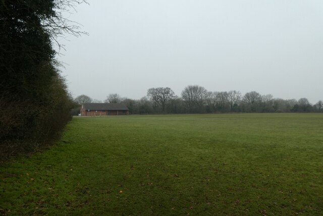
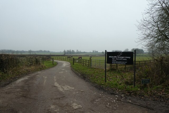
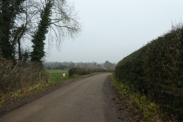
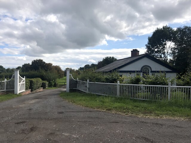
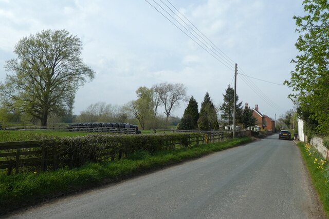
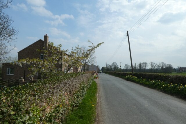
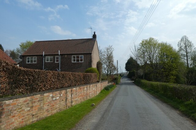
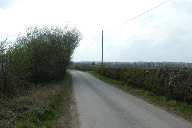
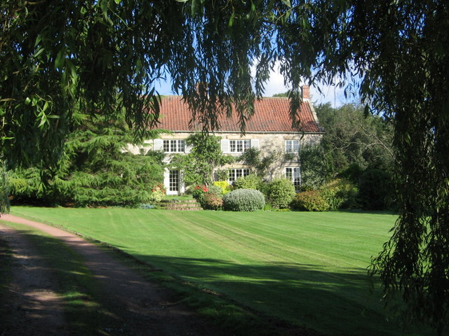
Long Plantation is a picturesque woodland area located in Yorkshire, England. Stretching across several acres, it is known for its dense forest and natural beauty. The plantation is situated in a secluded area, away from the hustle and bustle of the city, providing a serene and tranquil environment for visitors.
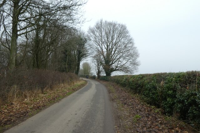
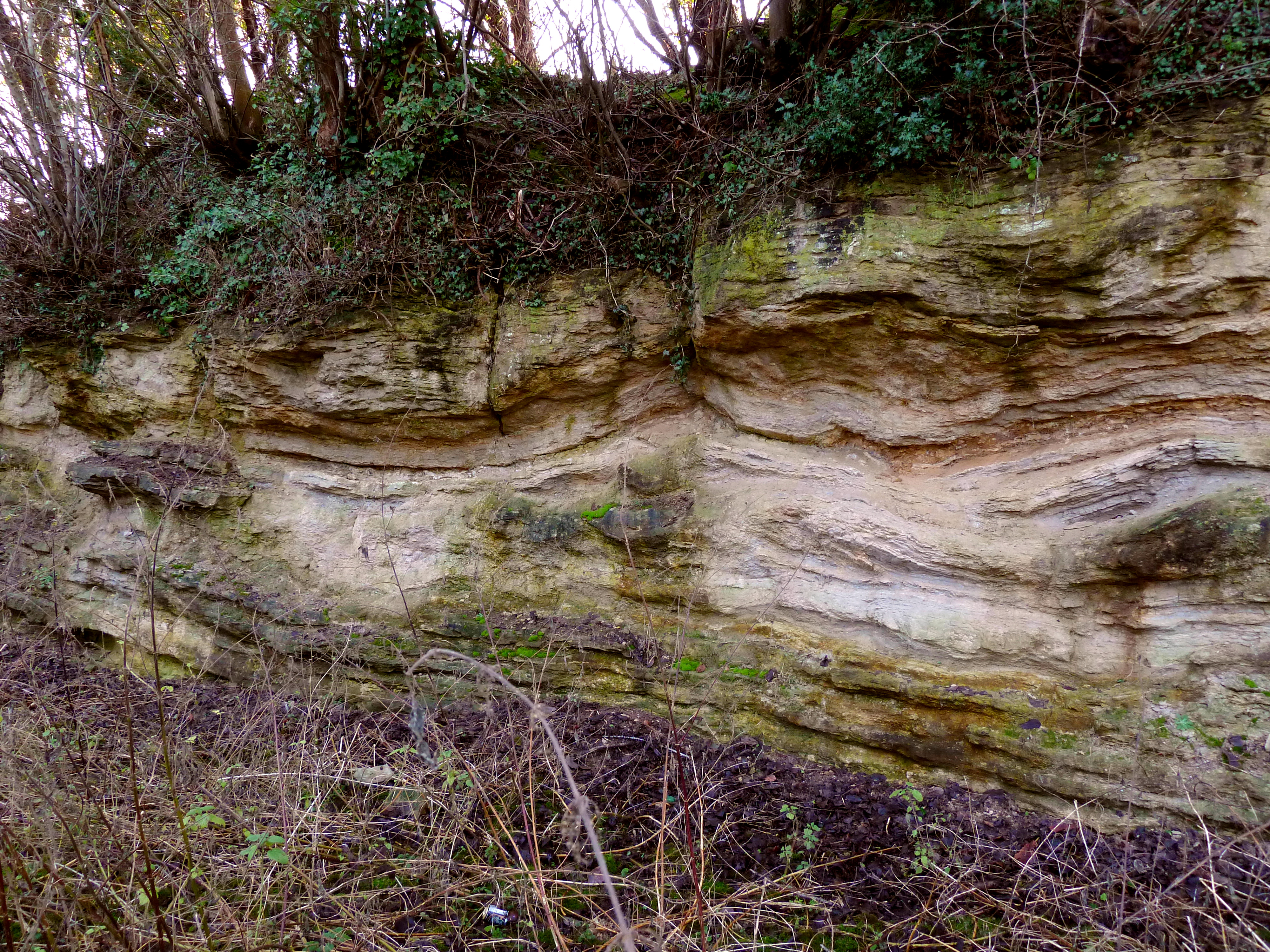
The woodland is characterized by a variety of tall, mature trees, including oak, ash, and beech. These trees create a dense canopy that filters sunlight, casting beautiful patterns on the forest floor. The plantation is also home to a diverse range of wildlife, including deer, foxes, and various bird species, making it a popular spot for nature enthusiasts and photographers.
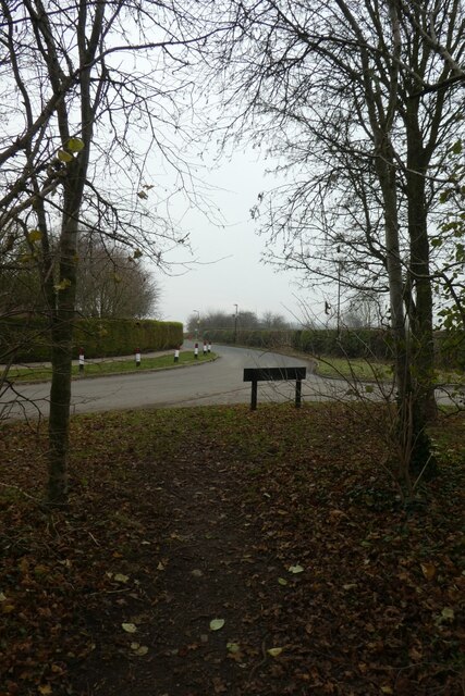
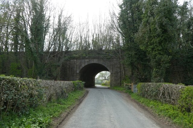
Long Plantation offers several well-marked trails that wind through the woods, allowing visitors to explore and immerse themselves in the natural surroundings. These trails cater to different fitness levels, ranging from easy strolls to more challenging hikes. Along the way, hikers can spot various flora and fauna, adding to the overall experience.
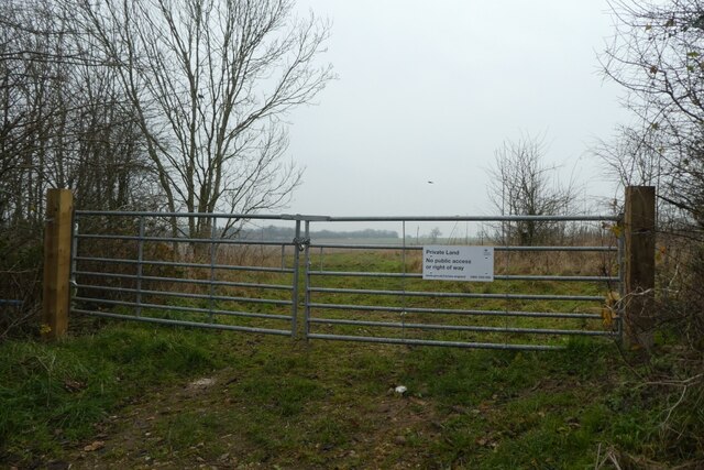
The plantation is well-maintained, with clear signposts and picnic areas dotted throughout the woodland. This makes it an ideal destination for families and groups looking to enjoy a day out in nature. Additionally, the plantation hosts educational programs and guided tours, providing visitors with insights into the local ecosystem and conservation efforts.
Long Plantation, with its lush greenery and peaceful ambiance, offers a welcome escape from the urban landscape, allowing visitors to reconnect with nature and enjoy the beauty of Yorkshire's woodlands.
If you have any feedback on the listing, please let us know in the comments section below.
Long Plantation Images
Images are sourced within 2km of 54.107452/-1.5325755 or Grid Reference SE3068. Thanks to Geograph Open Source API. All images are credited.


Long Plantation is located at Grid Ref: SE3068 (Lat: 54.107452, Lng: -1.5325755)
Division: West Riding
Administrative County: North Yorkshire
District: Harrogate
Police Authority: North Yorkshire
What 3 Words
///diplomats.sectors.shifting. Near Ripon, North Yorkshire
Nearby Locations
Related Wikis
Quarry Moor
Quarry Moor is a Site of Special Scientific Interest, or SSSI, at the south edge of Ripon, North Yorkshire, England, and adjacent to the A61 road. It contains...
Markenfield Hall
Markenfield Hall is an early 14th-century moated manor house about 3 miles (5 km) south of Ripon, North Yorkshire, England. It is in the civil parish of...

Studley Roger
Studley Roger is a small village and civil parish in the Harrogate district of North Yorkshire, England, and it is about 1 mile west of the historical...

Littlethorpe, North Yorkshire
Littlethorpe is a village and civil parish in the Harrogate district, in the English county of North Yorkshire, near the city of Ripon. Littlethorpe has...
Ingerthorpe
Ingerthorpe is a hamlet and former civil parish about 7 miles (11 km) from Harrogate, now in the parish of Markington with Wallerthwaite, in the Harrogate...
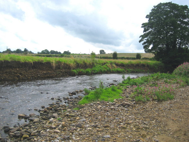
River Laver
The River Laver is a tributary of the River Skell, itself a tributary of the River Ure in North Yorkshire, England. The name is of Brittonic origin, from...

Ripon Racecourse
Ripon Racecourse is a thoroughbred horse racing venue located in Ripon, North Yorkshire, England and is nicknamed the Garden Racecourse. == History... ==

Ripon Canal
The Ripon Canal is located in North Yorkshire, England. It was built by the canal engineer William Jessop to link the city of Ripon with the navigable...
Nearby Amenities
Located within 500m of 54.107452,-1.5325755Have you been to Long Plantation?
Leave your review of Long Plantation below (or comments, questions and feedback).