Derbyroad Plantation
Wood, Forest in Derbyshire Amber Valley
England
Derbyroad Plantation
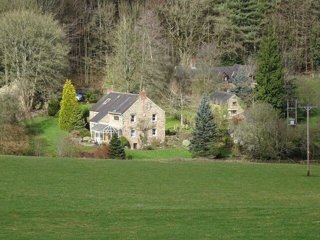
Derbyroad Plantation is a picturesque woodland located in Derbyshire, England. Spanning over a vast area, the plantation is renowned for its diverse collection of trees and natural beauty. It is situated along the Derbyroad, hence its name, and is a popular destination for nature enthusiasts and hikers.
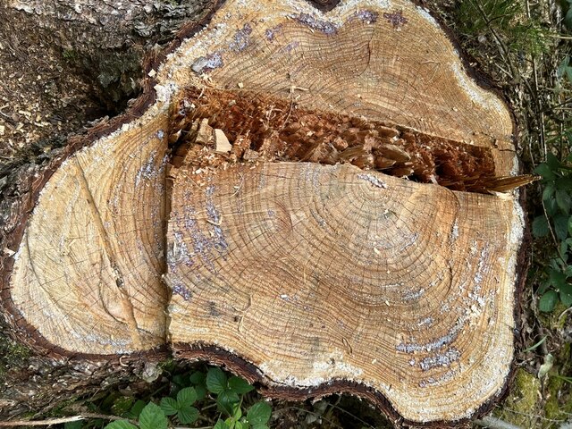
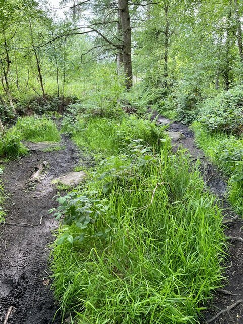
The plantation is characterized by its dense forest cover, consisting primarily of oak, beech, and birch trees. These majestic trees create a serene and tranquil atmosphere, making it an ideal place for those seeking solace in nature. Additionally, the plantation is home to various wildlife species, including squirrels, birds, and occasional deer sightings, providing visitors with an opportunity to observe and appreciate the local fauna.
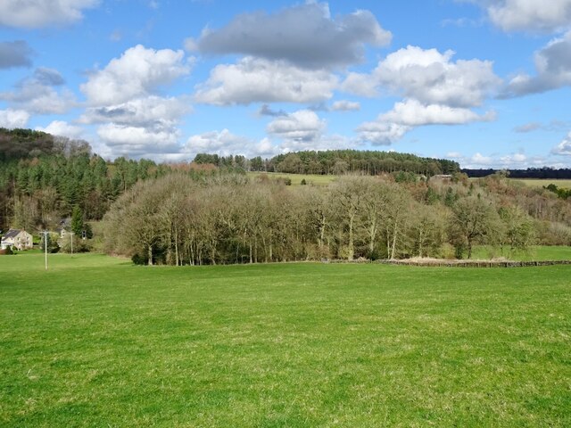
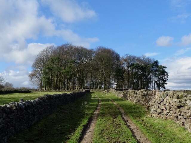
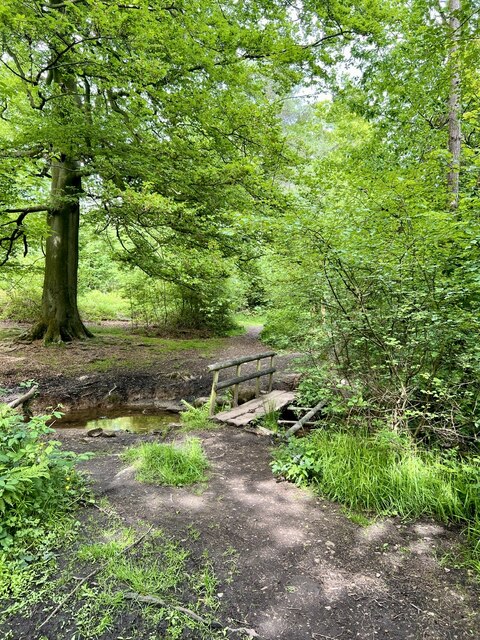
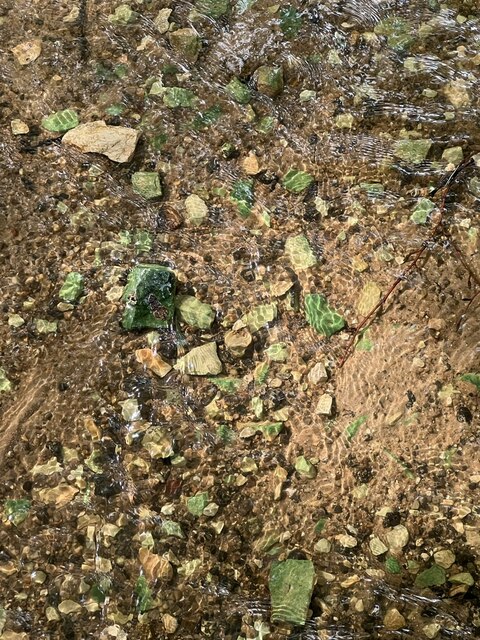
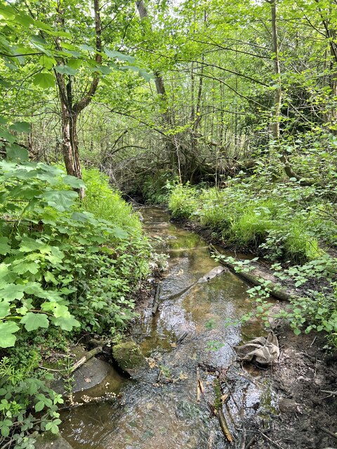
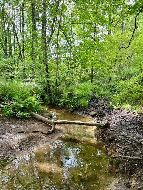
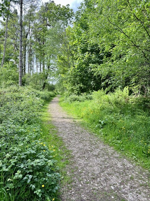
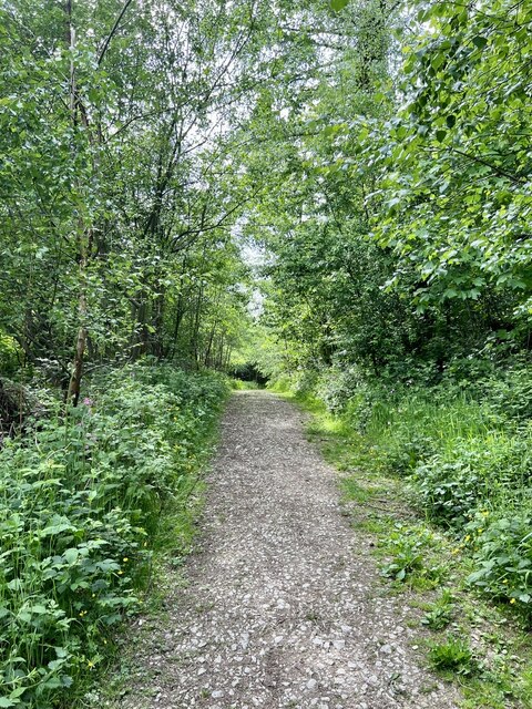
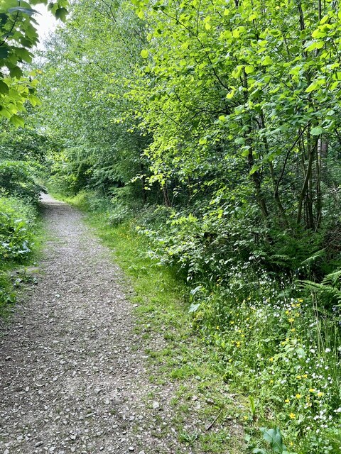
The woodland is intersected by several well-maintained walking trails, allowing visitors to explore the plantation at their own pace. These paths offer stunning views of the surrounding countryside and provide an excellent opportunity for birdwatching and photography. The plantation also features a small stream that meanders through the forest, adding to its natural charm.
Derbyroad Plantation is a popular destination during all seasons. In spring, the woodland comes alive with vibrant blossoms and a chorus of birdsong. Summer brings a lush green canopy, providing shade and respite from the sun. Autumn transforms the plantation into a sea of golden hues as the leaves change color. Winter offers a unique experience, with frost-covered branches and a peaceful ambiance.
Overall, Derbyroad Plantation in Derbyshire is a haven for nature lovers, offering a diverse range of flora and fauna, scenic trails, and a peaceful escape from the hustle and bustle of everyday life.
If you have any feedback on the listing, please let us know in the comments section below.
Derbyroad Plantation Images
Images are sourced within 2km of 53.075531/-1.5455073 or Grid Reference SK3053. Thanks to Geograph Open Source API. All images are credited.


Derbyroad Plantation is located at Grid Ref: SK3053 (Lat: 53.075531, Lng: -1.5455073)
Administrative County: Derbyshire
District: Amber Valley
Police Authority: Derbyshire
What 3 Words
///reduction.grace.trudges. Near Wirksworth, Derbyshire
Nearby Locations
Related Wikis

Breamfield
Breamfield is a hamlet in Derbyshire, England. It is located 1 mile south-east of Wirksworth.
Alderwasley
Alderwasley ( AL-ərz-LEE) is a village and civil parish in the Amber Valley district of Derbyshire, England. The population of the civil parish as of the...

Alport Height
Alport Height is a hill near Wirksworth in Derbyshire. It is a popular picnic site, since it has extensive views to the South, and is the first hill over...

Anthony Gell School
Anthony Gell School is a coeducational secondary school and sixth form located in Wirksworth in the English county of Derbyshire.It began as a Free Grammar...

Wirksworth railway station
Wirksworth Railway Station is a heritage railway station that serves the town of Wirksworth in Derbyshire. It was the former terminus of the Midland Railway...
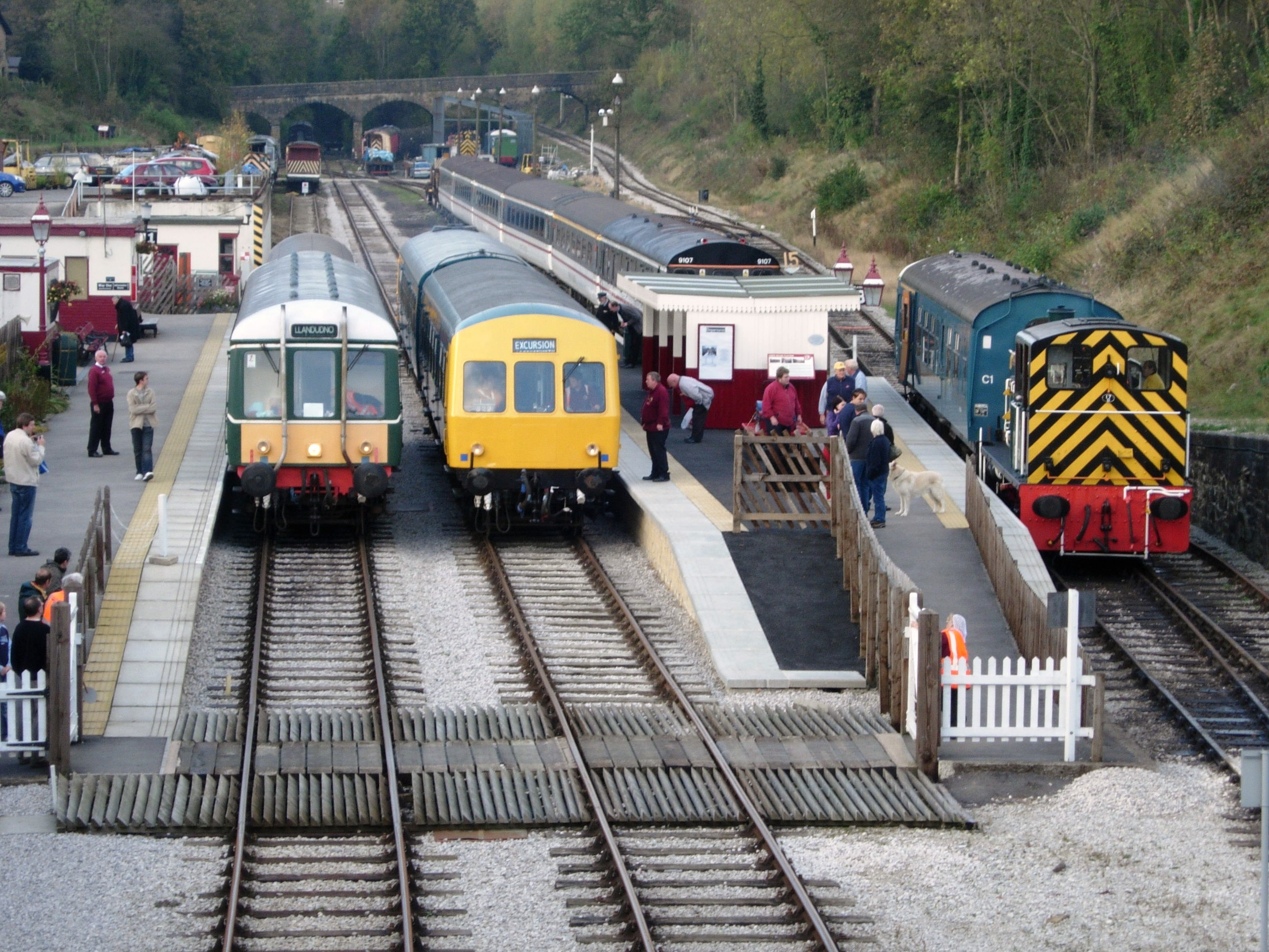
Ecclesbourne Valley Railway
The Ecclesbourne Valley Railway is a 9-mile (14.5 km) long heritage railway in Derbyshire. The headquarters of the railway centre on Wirksworth station...
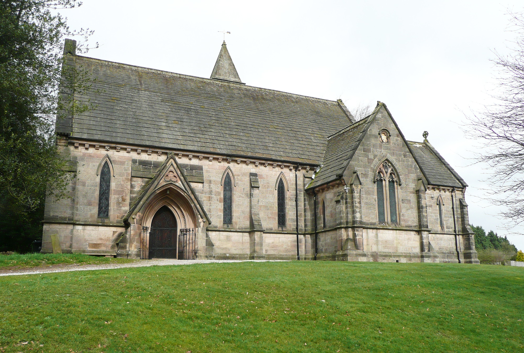
All Saints' Church, Alderwasley
All Saints’ Church, Alderwasley, is a Grade II listed parish church in the Church of England: 55 in Alderwasley, Derbyshire. == History == The church...
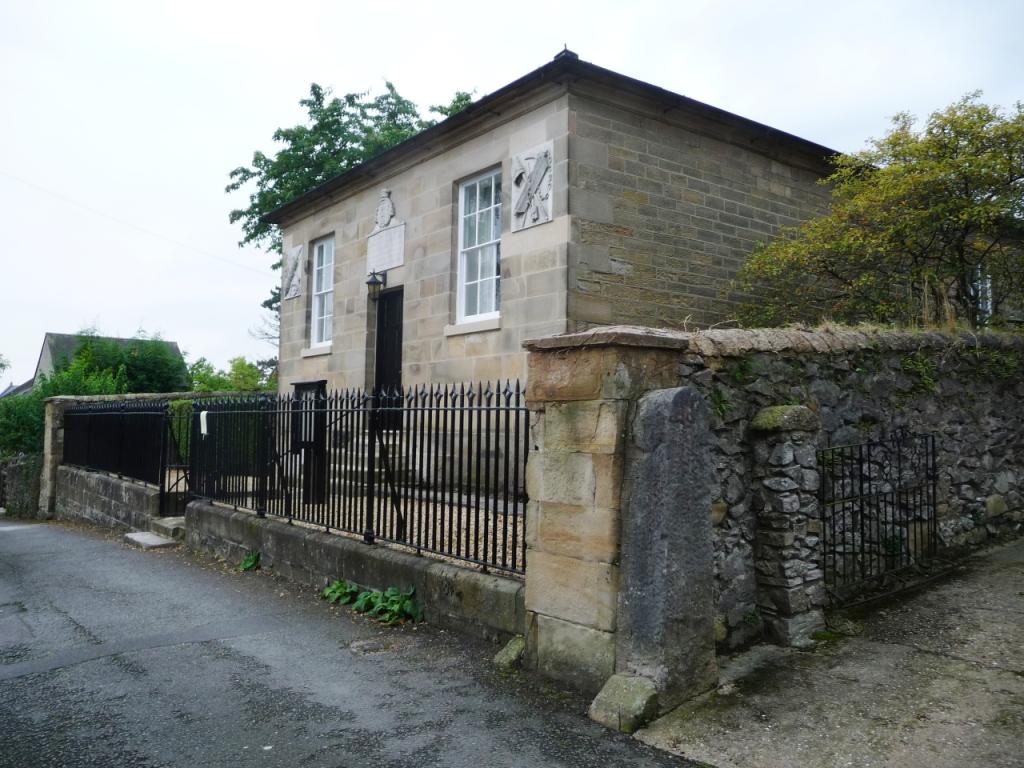
Moot Hall, Wirksworth
The Moot Hall is a judicial building in Chapel Lane in Wirksworth, Derbyshire, England. The building, which is used as the meeting place of the barmote...
Nearby Amenities
Located within 500m of 53.075531,-1.5455073Have you been to Derbyroad Plantation?
Leave your review of Derbyroad Plantation below (or comments, questions and feedback).