Black Wood
Wood, Forest in Durham
England
Black Wood

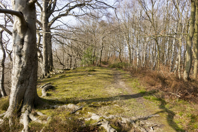
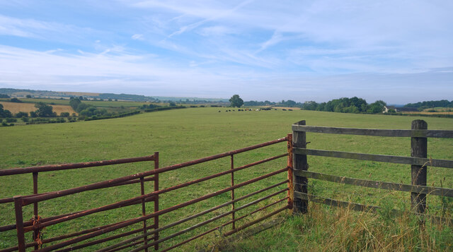
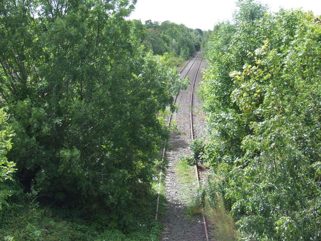
Black Wood is a dense forest located in the county of Durham, England. It covers an area of approximately 500 acres and is situated in the northern part of the county, near the village of Black Hill. The forest is known for its stunning natural beauty and is a popular destination for nature enthusiasts and hikers.
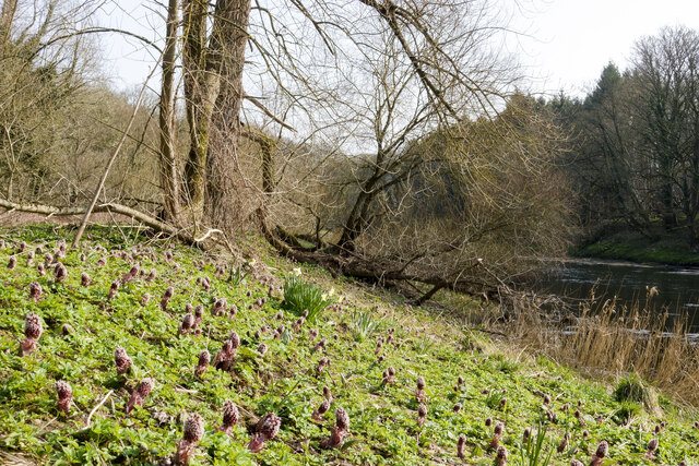
The woodland is predominantly composed of deciduous trees, with a mix of oak, beech, and birch trees dominating the landscape. The dense canopy of foliage creates a tranquil and shaded environment, providing a haven for various wildlife species. Visitors to Black Wood can expect to encounter a diverse range of flora and fauna, including deer, foxes, badgers, and a variety of bird species.
A network of well-maintained footpaths and trails crisscrosses the forest, allowing visitors to explore its beauty at their own pace. These paths lead to scenic viewpoints, hidden clearings, and peaceful meadows dotted with wildflowers. The forest is also home to a small stream that meanders through its heart, adding to the charm and serenity of the surroundings.
Black Wood has a rich history, with records dating back centuries. It has been a valuable resource for the local community, providing timber for construction and fuel. In recent years, efforts have been made to preserve and protect the woodland, ensuring its continued existence for future generations to enjoy.
Overall, Black Wood is a picturesque and enchanting forest that offers a peaceful retreat from the hustle and bustle of everyday life. Its natural beauty, abundant wildlife, and well-maintained trails make it a must-visit destination for nature lovers and outdoor enthusiasts in Durham.
If you have any feedback on the listing, please let us know in the comments section below.
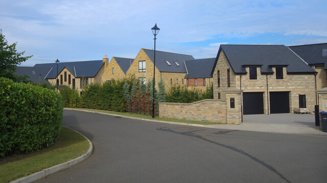
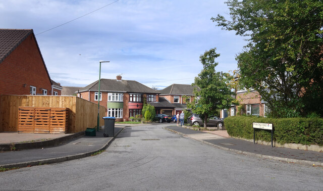
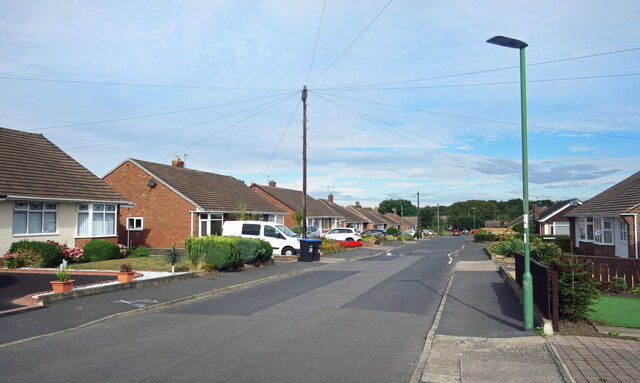
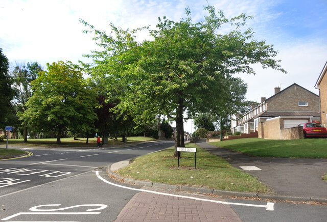
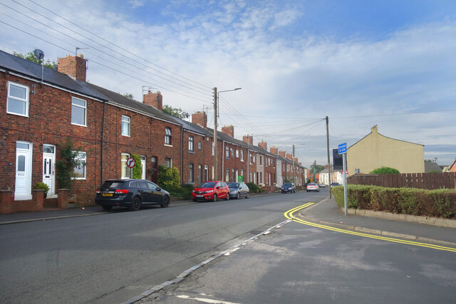
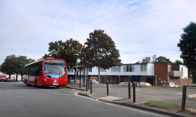
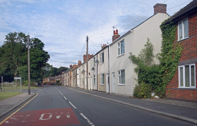
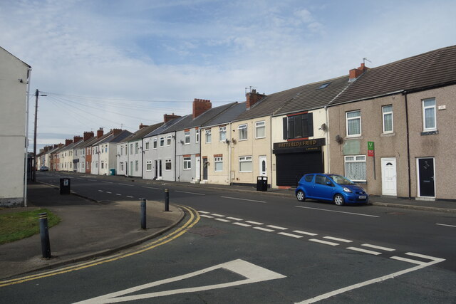
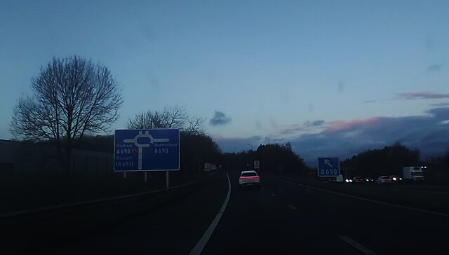
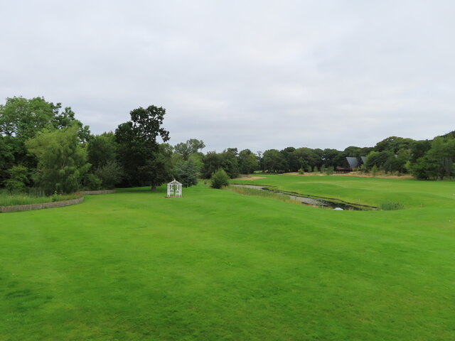
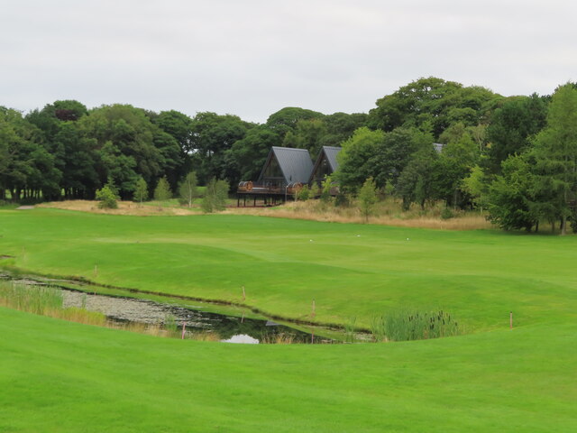
Black Wood Images
Images are sourced within 2km of 54.803863/-1.5264291 or Grid Reference NZ3045. Thanks to Geograph Open Source API. All images are credited.

Black Wood is located at Grid Ref: NZ3045 (Lat: 54.803863, Lng: -1.5264291)
Unitary Authority: County Durham
Police Authority: Durham
What 3 Words
///banquets.limes.issued. Near West Rainton, Co. Durham
Nearby Locations
Related Wikis

Belmont Junction railway station (Durham)
Belmont Junction railway station was a railway station that served the civil parish of Belmont in County Durham, North East England, from 1844 to 1857...
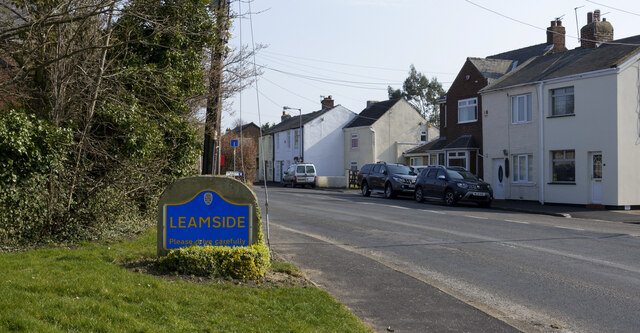
Leamside railway station
Leamside railway station served the villages of Leamside and West Rainton, in County Durham, England from 1844 to 1953 on the Leamside line. == History... ==

Brasside Pond
Brasside Pond is a Site of Special Scientific Interest just north of the city of Durham, England. The site occupies an area of former clay pits sandwiched...
Leamside
Leamside is a small village close to the city of Durham, County Durham, in England. It is situated to the west of West Rainton. It is part of the civil...

Brasside
Brasside is a suburban village near Durham, located in the civil parish of Framwellgate Moor in County Durham, England. It is situated to the north of...

HM Prison Frankland
HM Prison Frankland is a Category A men's prison located in the village of Brasside in County Durham, England. Frankland is operated by His Majesty's Prison...
Frankland railway station
Frankland railway station served the village of Brasside, County Durham, England, from 1861 to 1877 on the Leamside Line. == History == The station opened...
Rainton Gate
Rainton Gate is a village in County Durham, in England. It is situated between Durham and Houghton-le-Spring, next to West Rainton. == References ==
Nearby Amenities
Located within 500m of 54.803863,-1.5264291Have you been to Black Wood?
Leave your review of Black Wood below (or comments, questions and feedback).