Bank Wood

Wood, Forest in Derbyshire North East Derbyshire

England

Bank Wood

St Swithin's Church in Holmesfield Across the road from the George and Dragon pub.
St Swithin's Church in Holmesfield Credit: steven ruffles

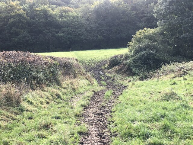
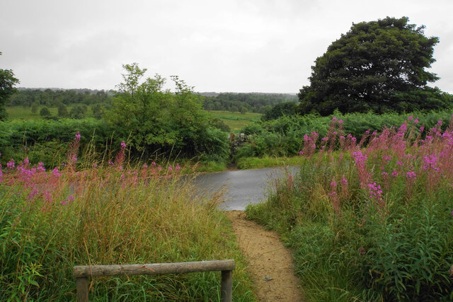
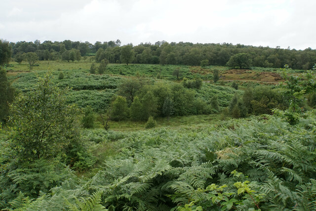
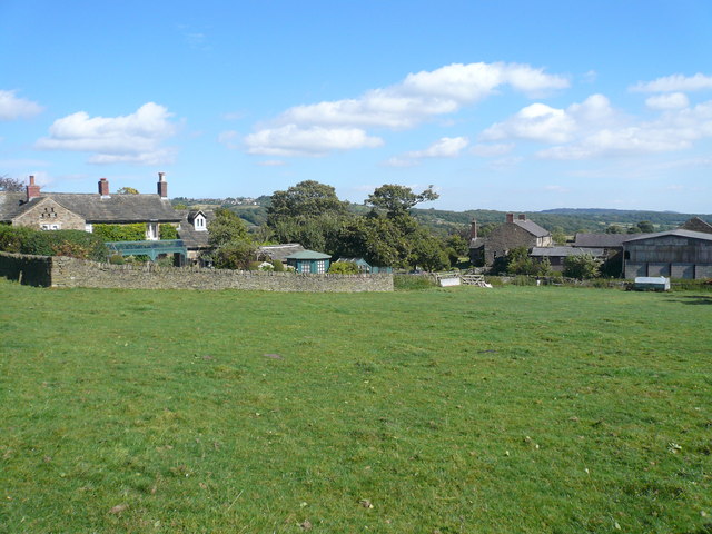
Bank Wood is a picturesque forest located in Derbyshire, England. It covers an area of approximately 100 acres and is renowned for its natural beauty and diverse ecosystem. The wood is situated on a gently sloping hillside, offering visitors stunning views of the surrounding countryside.

The forest is predominantly composed of deciduous trees, including oak, beech, and birch, which form a dense canopy overhead. This creates a cool and tranquil atmosphere, perfect for escaping the hustle and bustle of everyday life. The forest floor is covered in a lush carpet of ferns, moss, and wildflowers, adding to the enchanting ambiance of the wood.

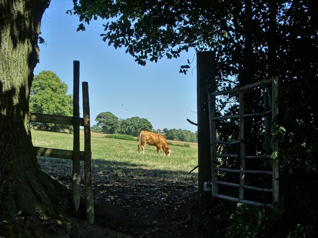
Bank Wood is a haven for wildlife, providing a sanctuary for a variety of species. Bird enthusiasts will be delighted to spot woodpeckers, owls, and various songbirds among the treetops. The forest also supports a diverse range of mammals, including deer, foxes, and squirrels, which can often be seen darting through the undergrowth.

The wood offers a network of well-maintained walking trails, allowing visitors to explore its natural wonders at their own pace. These paths wind through the forest, leading to charming clearings and hidden glades, where visitors can pause and enjoy the tranquility of their surroundings.

Bank Wood is a popular destination for nature lovers, photographers, and families seeking a peaceful retreat. Its serene beauty and abundant wildlife make it an idyllic location for walking, picnicking, and immersing oneself in the wonders of nature.

If you have any feedback on the listing, please let us know in the comments section below.
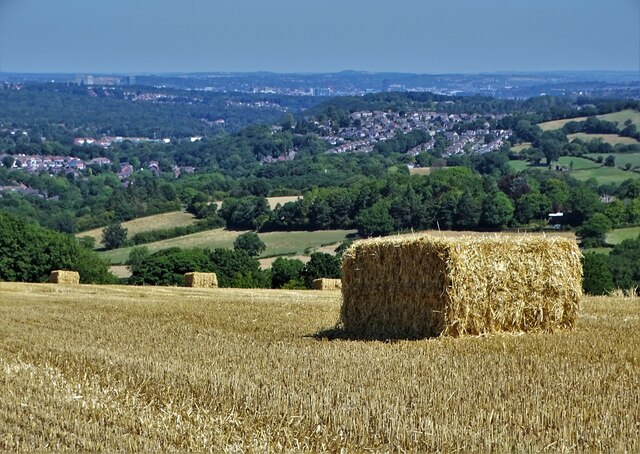
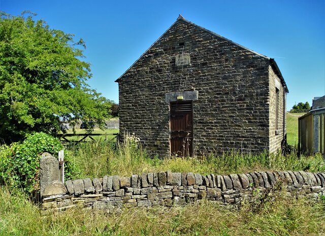
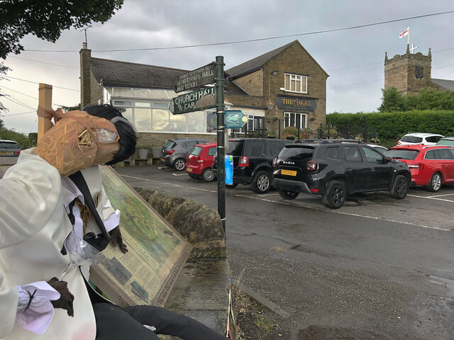
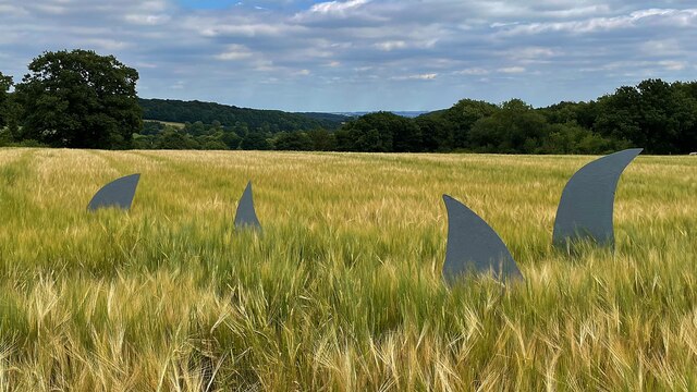
Bank Wood Images

Images are sourced within 2km of 53.285274/-1.544096 or Grid Reference SK3076. Thanks to Geograph Open Source API. All images are credited.

St Swithin's Church in Holmesfield Across the road from the George and Dragon pub.
St Swithin's Church in Holmesfield
Across the road from the George and Dragon pub.
A field of sunflowers At Barlow Village Sunflowers
A field of sunflowers
At Barlow Village Sunflowers
Giant sunflowers Two of the thousands in a field at Barlow Village Sunflowers
Giant sunflowers
Two of the thousands in a field at Barlow Village Sunflowers
A giant sunflower One of thousands in a field at Barlow Village Sunflowers
A giant sunflower
One of thousands in a field at Barlow Village Sunflowers
Young cow grazing at Horsleygate
Shandy and crisps at "The Royal Oak", Millthorpe On another hot summer's day in August 2022
Shandy and crisps at "The Royal Oak", Millthorpe
On another hot summer's day in August 2022
Gatepost at Holmesfield Common
After the Harvest Harvested field at Lydgate, Holmesfield with a view of Sheffield's southern  suburbs.
After the Harvest
Harvested field at Lydgate, Holmesfield with a view of Sheffield's southern suburbs.
Disused chapel at Holmesfield Common This Wesleyan Reform Chapel was erected in 1848. It could accommodate a hundred people.
Disused chapel at Holmesfield Common
This Wesleyan Reform Chapel was erected in 1848. It could accommodate a hundred people.
Angel and scarecrow, Holmesfield Popular gastro-pub next to St Swithin's Church. The rather dishevelled figure on the left would appear to be a remnant of the village's scarecrow hunt/festival/competition, maybe deliberately so, given the champagne glass in its hand, but in no worse a state than many of the others nearby.
Angel and scarecrow, Holmesfield
Popular gastro-pub next to St Swithin's Church. The rather dishevelled figure on the left would appear to be a remnant of the village's scarecrow hunt/festival/competition, maybe deliberately so, given the champagne glass in its hand, but in no worse a state than many of the others nearby.
A field full of sunflowers A seasonal visitor attraction at Village Sunflowers
A field full of sunflowers
A seasonal visitor attraction at Village Sunflowers
Strange sight in a field of barley One of the features of the visitor attraction at Village Sunflowers
Strange sight in a field of barley
One of the features of the visitor attraction at Village Sunflowers
The path from Unthank Lane, looking into Stripes Wood
Path out of Shillito Wood Car Park The car park owned by the National Trust makes this a good place for starting walks, particularly for people with dogs. In this view, a heavy rain shower is just starting.
Path out of Shillito Wood Car Park
The car park owned by the National Trust makes this a good place for starting walks, particularly for people with dogs. In this view, a heavy rain shower is just starting.
Ramsley Moor in the rain Looking towards Foxlane Plantation in a sharp shower.
Ramsley Moor in the rain
Looking towards Foxlane Plantation in a sharp shower.
Bridleway on Ramsley Moor A valley is developing on the left which will drain into Millthorpe Brook.
Bridleway on Ramsley Moor
A valley is developing on the left which will drain into Millthorpe Brook.
Small valley on Ramsley Moor The valley drains to the right down to Millthorpe Brook.
Small valley on Ramsley Moor
The valley drains to the right down to Millthorpe Brook.
Bridleway below Hewetts Bank Following a wooded valley down to Car Road.
Bridleway below Hewetts Bank
Following a wooded valley down to Car Road.
Show me another place!

Bank Wood is located at Grid Ref: SK3076 (Lat: 53.285274, Lng: -1.544096)

Administrative County: Derbyshire

District: North East Derbyshire

Police Authority: Derbyshire

What 3 Words

///scream.live.celebrate. Near Dronfield, Derbyshire

Related Wikis

Unthank, Derbyshire

Unthank is a hamlet in the North East Derbyshire district of Derbyshire, England. It is sited on a narrow lane on the southern slopes of the Cordwell Valley...

Owler Bar

Owler Bar is a small area of settlement and locally important road junction in the parish of Holmesfield, Derbyshire, England. It lies at an altitude of...

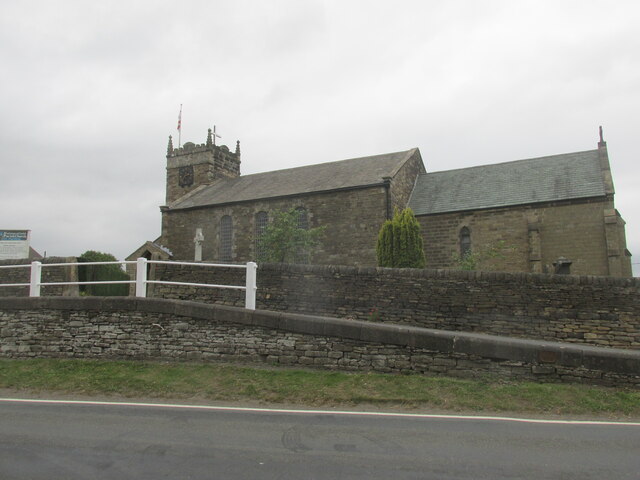
St Swithin's Church, Holmesfield

St Swithin's Church is a Grade II listed parish church in the Church of England in Holmesfield, Derbyshire. == History == The church dates from 1727 with...

Holmesfield

Holmesfield is a village and civil parish in the English county of Derbyshire. The population of the civil parish at the 2011 census was 971. The name...

Barlow Woodseats Hall

Barlow Woodseats Hall is a Grade II* listed manor house situated at Barlow Woodseats, on the edge of the village of Barlow, in Derbyshire. It remains the...

Cartledge

Cartledge is a hamlet in Derbyshire, England. It is 10 kilometres (6 mi) southwest of Sheffield, and just south of the village of Holmesfield. Its name...

Totley

Totley is a suburb on the extreme southwest of the City of Sheffield, in South Yorkshire, England. Lying in the historic county boundaries of Derbyshire...

Barbrook One

Barbrook One (grid reference SK27857558) is a stone circle on Ramsley Moor in the Peak District. == Description == "Barbrook No. 1" is an embanked stone...

Nearby Amenities

Located within 500m of 53.285274,-1.544096
Ele: 174
Lat/Long: 53.2870631/-1.548574
Ele: 174
Lat/Long: 53.2869822/-1.5489883
Ele: 191
Lat/Long: 53.2870731/-1.5502387
Ele: 171
Lat/Long: 53.2867475/-1.5473053
Ele: 170
Lat/Long: 53.2867567/-1.5472188
Bench
Ele: 154.6566162
Lat/Long: 53.2848439/-1.5380866
Parking
Capacity: 5
Description: Layby
Ele: 158.0212402
Lat/Long: 53.2853968/-1.5407383
Ele: 159.2229004
Lat/Long: 53.2856896/-1.5419118
Ele: 159.9438477
Lat/Long: 53.2856049/-1.5417401
Ele: 158.5019531
Lat/Long: 53.285519/-1.541169
Ele: 159.4632568
Lat/Long: 53.2857117/-1.5420112
Barrier: stile
Steps: 1
Stile: stepover
Lat/Long: 53.2860164/-1.5442359
Ele: 161.8664551
Lat/Long: 53.2858769/-1.5430584
Ele: 168
Lat/Long: 53.2866193/-1.5462825
Ele: 167
Lat/Long: 53.2863146/-1.5452632
Barrier: stile
Steps: 3
Stile: wall
Lat/Long: 53.2868282/-1.5418739
Ele: 177
Lat/Long: 53.2861887/-1.5508858
Ele: 178
Lat/Long: 53.2862727/-1.5508907
Ele: 178
Lat/Long: 53.2863194/-1.5508583
Barrier: stile
Steps: 1
Stile: stepover
Lat/Long: 53.2895467/-1.543508
Traffic Mirror
Lat/Long: 53.2883263/-1.5442144
Ele: 189
Lat/Long: 53.2873488/-1.5503085
Ele: 189
Lat/Long: 53.28797/-1.5406175
Ele: 189
Lat/Long: 53.2880226/-1.5409829
Ele: 185.0000000
Lat/Long: 53.288324/-1.5430053
Barrier: stile
Steps: 1
Stile: stepover
Lat/Long: 53.2820731/-1.5403682
Barrier: stile
Steps: 2
Stile: stepover
Lat/Long: 53.2862037/-1.5477845
Barrier: stile
Ele: 158.2615967
Steps: 2
Stile: wall
Lat/Long: 53.2853908/-1.5407977
Horsleygate Hall
Addr City: Dronfield
Addr Housename: Horsleygate Hall
Addr Postcode: S18 7WD
Addr Street: Horsleygate Lane
Addr Suburb: Holmesfield
Internet Access: yes
Internet Access Fee: no
Rooms: 3
Smoking: outside
Tourism: guest_house
Website: https://www.horsleygatehall.co.uk/
Lat/Long: 53.2886111/-1.5443751
Bench
Lat/Long: 53.2869772/-1.5486621
Ford: yes
Lat/Long: 53.2855894/-1.5421424
Ele: 159.2229004
Lat/Long: 53.2855241/-1.5420131
Information: guidepost
Tourism: information
Lat/Long: 53.282916/-1.5421361
Barrier: stile
Lat/Long: 53.2835355/-1.5374391
The data included in this document is from www.openstreetmap.org. The data is made available under ODbL.

Have you been to Bank Wood?

Leave your review of Bank Wood below (or comments, questions and feedback).