Marlpit Spinney

Wood, Forest in Warwickshire Warwick

England

Marlpit Spinney

Roundabout at junction of A46 and A452, Kenilworth
Roundabout at junction of A46 and A452, Kenilworth Credit: A J Paxton

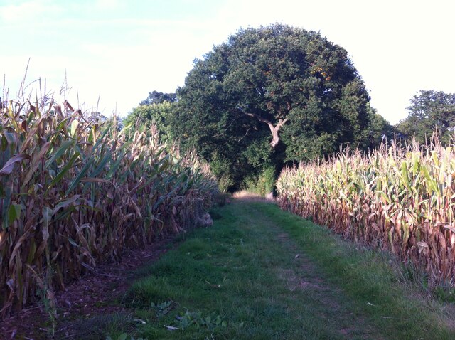
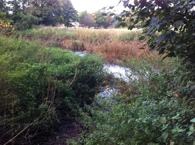
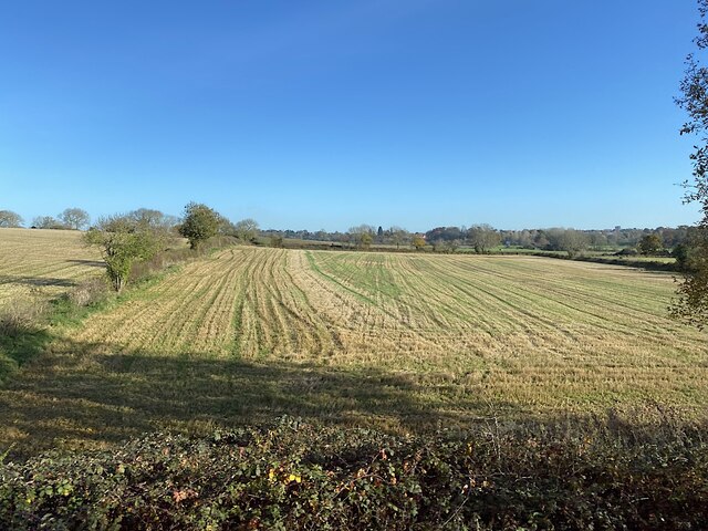
Marlpit Spinney is a picturesque woodland located in the county of Warwickshire, England. Spanning approximately 10 acres, this enchanting spinney is nestled in the heart of the countryside, offering visitors a tranquil and immersive experience in nature.

The spinney is known for its diverse range of tree species, including oak, ash, and silver birch, which create a dense canopy that filters sunlight and provides a cool and shaded environment. The forest floor is carpeted with a variety of wildflowers and ferns, adding to its natural beauty.

The spinney is home to a rich array of wildlife, making it a haven for nature enthusiasts and birdwatchers alike. Visitors may spot woodland creatures such as badgers, foxes, and deer, as well as numerous bird species including woodpeckers, thrushes, and owls. The peaceful atmosphere and abundance of wildlife make Marlpit Spinney an ideal location for nature walks and birdwatching activities.

There are several well-maintained footpaths that wind through the spinney, offering visitors the opportunity to explore its nooks and crannies. These paths lead to secluded clearings and a small pond, providing scenic spots for picnics or moments of quiet contemplation.

Marlpit Spinney is open to the public year-round, and entrance is free. The woodland is easily accessible, with a small parking area nearby. However, it is recommended to wear appropriate footwear, as some paths can become muddy during wet weather.

Overall, Marlpit Spinney is a true gem in Warwickshire, offering visitors a peaceful escape from the hustle and bustle of everyday life, and a chance to immerse themselves in the natural beauty and tranquility of a traditional English woodland.

If you have any feedback on the listing, please let us know in the comments section below.

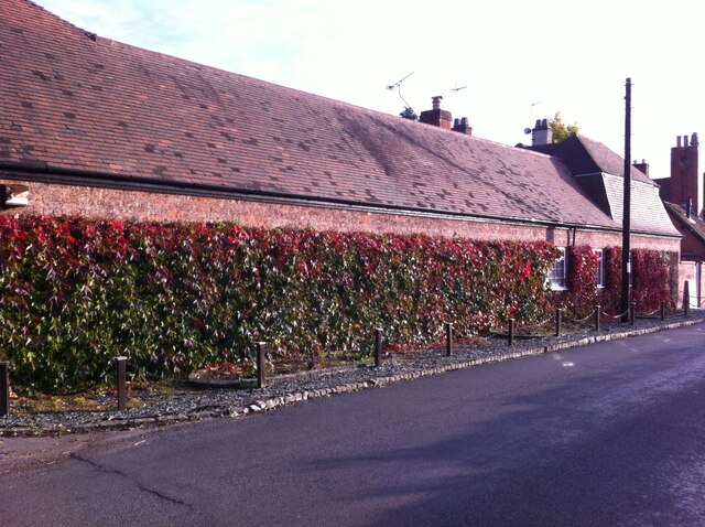
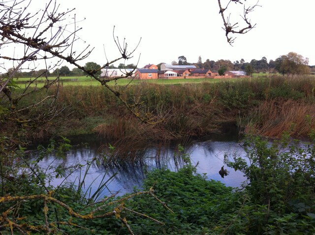
Marlpit Spinney Images

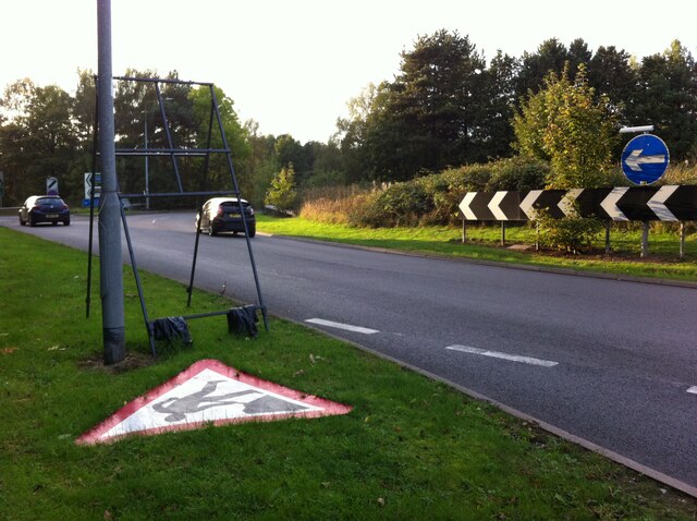
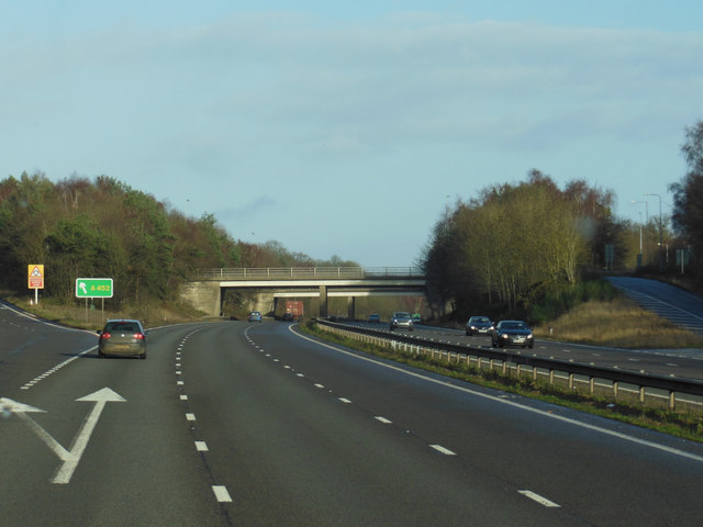
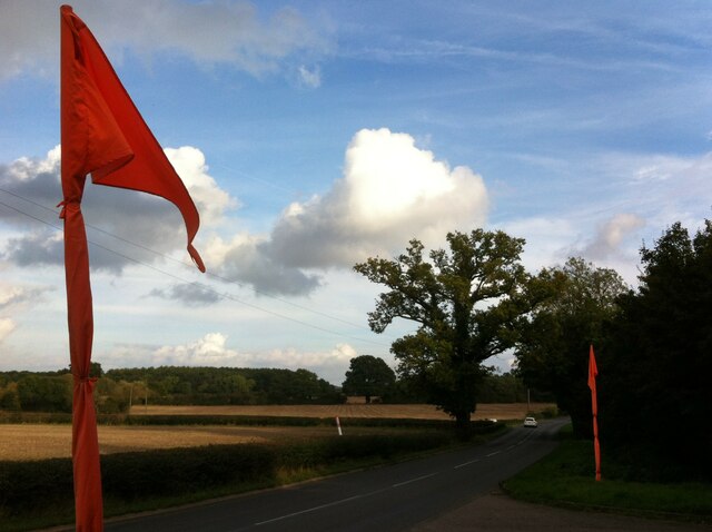
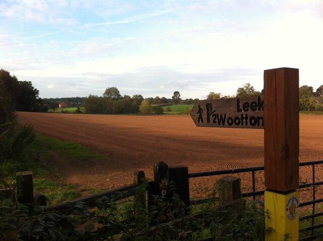
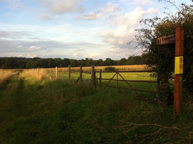
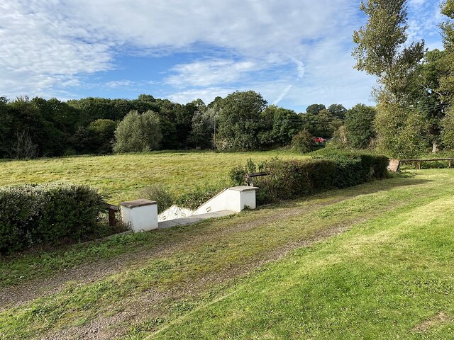
Images are sourced within 2km of 52.312789/-1.564137 or Grid Reference SP2968. Thanks to Geograph Open Source API. All images are credited.

Roundabout at junction of A46 and A452, Kenilworth
A46 - Thickthorn junction bridges
A46 south of Thickthorn junction
Farmland south of Kenilworth
The two bridges of A452 junction with A46
The A46 Warwick by pass
Bericote Lane with Nishan Sahib This view over Bericote Lane, Blackdown, looking towards Bericote Wood, is framed by a pair of saffron-coloured Nishan Sahib flags, the 'exalted ensign' of the Khalsa Panth of initiated Sikhs. They stand outside the entrance to the Baba Ke gurdwara or Sikh temple on the northern outskirts of Leamington Spa, which is unusual in Britain for its rural setting. For more on the Nishan Sahib see the Sikh Museum website here <span class="nowrap"><a title="http://www.sikhmuseum.com/nishan/index.html" rel="nofollow ugc noopener" href="http://www.sikhmuseum.com/nishan/index.html">Link</a><img style="margin-left:2px;" alt="External link" title="External link - shift click to open in new window" src="https://s1.geograph.org.uk/img/external.png" width="10" height="10"/></span> .
Bericote Lane with Nishan Sahib
This view over Bericote Lane, Blackdown, looking towards Bericote Wood, is framed by a pair of saffron-coloured Nishan Sahib flags, the 'exalted ensign' of the Khalsa Panth of initiated Sikhs. They stand outside the entrance to the Baba Ke gurdwara or Sikh temple on the northern outskirts of Leamington Spa, which is unusual in Britain for its rural setting. For more on the Nishan Sahib see the Sikh Museum website here LinkExternal link .
Field Path from Hill Wootton Road to Wootton Spinnies The path along the edge of a ploughed field is indicated by a sign of the distinctive design of the Kenilworth Footpath Preservation Group. In the Spinnies, a linear wood by the River Avon, the path divides, one route continuing to Chesford Bridge over the Avon, the other to Leek Wootton village as indicated on the sign.
Field Path from Hill Wootton Road to Wootton Spinnies
The path along the edge of a ploughed field is indicated by a sign of the distinctive design of the Kenilworth Footpath Preservation Group. In the Spinnies, a linear wood by the River Avon, the path divides, one route continuing to Chesford Bridge over the Avon, the other to Leek Wootton village as indicated on the sign.
Footpath from Hill Wootton village to Wootton Spinnies and Kenilworth Road The direction of the path is indicated by a signpost of the distinctive design of the Kenilworth Footpaths Preservation Group. Wootton Spinnies by the River Avon can be seen on the horizon.
Footpath from Hill Wootton village to Wootton Spinnies and Kenilworth Road
The direction of the path is indicated by a signpost of the distinctive design of the Kenilworth Footpaths Preservation Group. Wootton Spinnies by the River Avon can be seen on the horizon.
Wall with Virginia creeper, Hill Wootton Road This well-covered wall, and an unusual mansard roof behind the telegraph pole giving it a rather French appearance, can be seen in Hill Wootton village.
Wall with Virginia creeper, Hill Wootton Road
This well-covered wall, and an unusual mansard roof behind the telegraph pole giving it a rather French appearance, can be seen in Hill Wootton village.
Path through the maize to Wootton Spinnies Tall maize plants heavy with cobs frame an oak tree on the edge of Wootton Spinnies, a linear wood which runs along the bank of the River Avon, then continues to the west in a sinuous path towards Leek Wootton village.
Path through the maize to Wootton Spinnies
Tall maize plants heavy with cobs frame an oak tree on the edge of Wootton Spinnies, a linear wood which runs along the bank of the River Avon, then continues to the west in a sinuous path towards Leek Wootton village.
Confluence of the Cattle Brook and the River Avon The confluence is viewed from a footbridge over the Cattle Brook, a stream which rises on the southern outskirts of Kenilworth and flows eastwards for about two kilometres before flowing into the Avon by Wootton Spinnies.
Confluence of the Cattle Brook and the River Avon
The confluence is viewed from a footbridge over the Cattle Brook, a stream which rises on the southern outskirts of Kenilworth and flows eastwards for about two kilometres before flowing into the Avon by Wootton Spinnies.
Looking across the River Avon towards New Farm, Blackdown The Warwickshire Avon is here flowing to the south east in a sinuous curve, from left to right in this picture, though its overall course is south westwards towards Tewkesbury in Gloucestershire, where it joins the Severn.
Looking across the River Avon towards New Farm, Blackdown
The Warwickshire Avon is here flowing to the south east in a sinuous curve, from left to right in this picture, though its overall course is south westwards towards Tewkesbury in Gloucestershire, where it joins the Severn.
Entrance to the Ramada Hotel, near Chesford Bridge The hotel had been designated as an NHS Vaccination Centre for the Covid-19 booster programme. People coming by car were directed to a spacious rear car park, thence to a large but very odd function room. There was a long queue for the shots, which were professionally administered by at least half a dozen vaccinators. The Pfizer vaccine and a flu vaccine were given at the same time (we had had the AstraZeneca vaccine earlier in the year). Anyone attending by bus from the Kenilworth direction had to undertake a hazardous crossing of the A452 to reach the hotel.
Entrance to the Ramada Hotel, near Chesford Bridge
The hotel had been designated as an NHS Vaccination Centre for the Covid-19 booster programme. People coming by car were directed to a spacious rear car park, thence to a large but very odd function room. There was a long queue for the shots, which were professionally administered by at least half a dozen vaccinators. The Pfizer vaccine and a flu vaccine were given at the same time (we had had the AstraZeneca vaccine earlier in the year). Anyone attending by bus from the Kenilworth direction had to undertake a hazardous crossing of the A452 to reach the hotel.
Speed Limit, Sandy Lane, Old Milverton The car is coming away from Old Milverton, along Sandy Lane towards Blackdown, and has just crossed the bridge over the Leamington-Coventry railway, the parapet of which can be seen behind the car to its right.
Speed Limit, Sandy Lane, Old Milverton
The car is coming away from Old Milverton, along Sandy Lane towards Blackdown, and has just crossed the bridge over the Leamington-Coventry railway, the parapet of which can be seen behind the car to its right.
Hill with trig point seen from Sandy Lane, Old Milverton The trig point, which is 73m above sea level according to the OS map, can be seen on the horizon above the right hand gate.
Hill with trig point seen from Sandy Lane, Old Milverton
The trig point, which is 73m above sea level according to the OS map, can be seen on the horizon above the right hand gate.
Garden of the Ramada Hotel, Chesford Bridge The lower level is floodplain: the River Avon runs in the shadow of the distant trees. The red car, right, is heading north on the A452 Kenilworth Road. The old bridge is just visible, centre.
The view from the queue for the booster.
Garden of the Ramada Hotel, Chesford Bridge
The lower level is floodplain: the River Avon runs in the shadow of the distant trees. The red car, right, is heading north on the A452 Kenilworth Road. The old bridge is just visible, centre. The view from the queue for the booster.
Stubble field, northern edge of the Avon valley Seen from a Coventry-Leamington Spa train. The Avon is to the right. In the distance is the Blackdown area north of Leamington.
Stubble field, northern edge of the Avon valley
Seen from a Coventry-Leamington Spa train. The Avon is to the right. In the distance is the Blackdown area north of Leamington.
Show me another place!

Marlpit Spinney is located at Grid Ref: SP2968 (Lat: 52.312789, Lng: -1.564137)

Administrative County: Warwickshire

District: Warwick

Police Authority: Warwickshire

What 3 Words

///lion.tubes.broke. Near Leek Wootton, Warwickshire

Nearby Locations

Marlpit Spinney

Related Wikis

Wootton bridge collapse

The Wootton bridge collapse occurred on 11 June 1861, when the rail bridge over the road between Leek Wootton and Hill Wootton in Warwickshire collapsed...

Old Milverton

Old Milverton is a hamlet east of Warwick and north west of Leamington Spa in Warwickshire, England, and situated in a bend of the River Avon. The population...
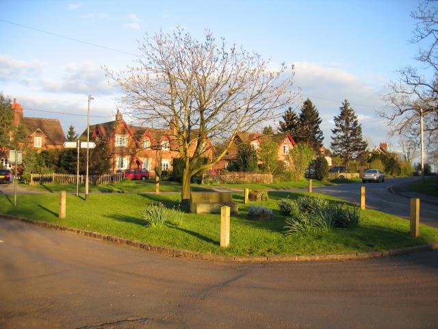
Leek Wootton

Leek Wootton is a village and former civil parish, now in the parish of Leek Wootton and Guy's Cliffe, in the Warwick district, in the county of Warwickshire...

Warwick International School of Riding

The Warwick International School of Riding is a school of equitation (horsemanship), located just north of Warwick, Warwickshire, England. The school caters...

Nearby Amenities

Located within 500m of 52.312789,-1.564137
Motorway Junction
Blacklow Roundabout
Lat/Long: 52.3133716/-1.5705776
Maxheight: 4.3
Source: Warwicks OpenData
Lat/Long: 52.3169369/-1.5645848
Stop
Direction: forward
Stop: minor
Lat/Long: 52.3169058/-1.5646514
Direction: backward
Maxspeed: 50 mph
Traffic Sign: maxspeed
Lat/Long: 52.3161328/-1.5602939
Stop
Direction: backward
Stop: minor
Lat/Long: 52.316919/-1.5645357
Brand: National Grid
Brand Wikidata: Q1465461
Material: wood
Operator: National Grid Electricity Distribution
Operator Old: Western Power Distribution
Operator Wikidata: Q7988183
Owner: National Grid Electricity Distribution (East Midlands) Plc
Owner Wikidata: Q114348127
Power: pole
Lat/Long: 52.3120379/-1.5632696
Brand: National Grid
Brand Wikidata: Q1465461
Material: wood
Operator: National Grid Electricity Distribution
Operator Old: Western Power Distribution
Operator Wikidata: Q7988183
Owner: National Grid Electricity Distribution (East Midlands) Plc
Owner Wikidata: Q114348127
Power: pole
Lat/Long: 52.3110738/-1.5630036
Brand: National Grid
Brand Wikidata: Q1465461
Line Attachment: suspension
Line Management: straight
Material: wood
Operator: National Grid Electricity Distribution
Operator Old: Western Power Distribution
Operator Wikidata: Q7988183
Owner: National Grid Electricity Distribution (East Midlands) Plc
Owner Wikidata: Q114348127
Power: pole
Lat/Long: 52.3160946/-1.5650242
Brand: National Grid
Brand Wikidata: Q1465461
Line Attachment: anchor
Line Management: branch
Material: wood
Operator: National Grid Electricity Distribution
Operator Old: Western Power Distribution
Operator Wikidata: Q7988183
Owner: National Grid Electricity Distribution (East Midlands) Plc
Owner Wikidata: Q114348127
Power: pole
Lat/Long: 52.3170026/-1.5656732
Brand: National Grid
Brand Wikidata: Q1465461
Material: wood
Operator: National Grid Electricity Distribution
Operator Old: Western Power Distribution
Operator Wikidata: Q7988183
Owner: National Grid Electricity Distribution (East Midlands) Plc
Owner Wikidata: Q114348127
Power: pole
Lat/Long: 52.3087927/-1.5624494
Brand: National Grid
Brand Wikidata: Q1465461
Material: wood
Operator: National Grid Electricity Distribution
Operator Old: Western Power Distribution
Operator Wikidata: Q7988183
Owner: National Grid Electricity Distribution (East Midlands) Plc
Owner Wikidata: Q114348127
Power: pole
Lat/Long: 52.3100257/-1.5628095
Brand: National Grid
Brand Wikidata: Q1465461
Material: wood
Operator: National Grid Electricity Distribution
Operator Old: Western Power Distribution
Operator Wikidata: Q7988183
Owner: National Grid Electricity Distribution (East Midlands) Plc
Owner Wikidata: Q114348127
Power: pole
Lat/Long: 52.3129933/-1.5634577
Brand: National Grid
Brand Wikidata: Q1465461
Material: wood
Operator: National Grid Electricity Distribution
Operator Old: Western Power Distribution
Operator Wikidata: Q7988183
Owner: National Grid Electricity Distribution (East Midlands) Plc
Owner Wikidata: Q114348127
Power: pole
Lat/Long: 52.3139657/-1.5636938
Brand: National Grid
Brand Wikidata: Q1465461
Line Attachment: suspension
Line Management: straight
Material: wood
Operator: National Grid Electricity Distribution
Operator Old: Western Power Distribution
Operator Wikidata: Q7988183
Owner: National Grid Electricity Distribution (East Midlands) Plc
Owner Wikidata: Q114348127
Power: pole
Lat/Long: 52.3150332/-1.564367
The data included in this document is from www.openstreetmap.org. The data is made available under ODbL.

Have you been to Marlpit Spinney?

Leave your review of Marlpit Spinney below (or comments, questions and feedback).