Tanyard Spring

Wood, Forest in Yorkshire

England

Tanyard Spring

"The Villa" at Barnby Basin Once the western terminus of the Aire and Calder Navigation Canal. The actual basin was just behind this house. The canal facilitated the movement of coal. Stanhope and Higham collieries were close by.
"The Villa" at Barnby Basin Credit: Neil Theasby

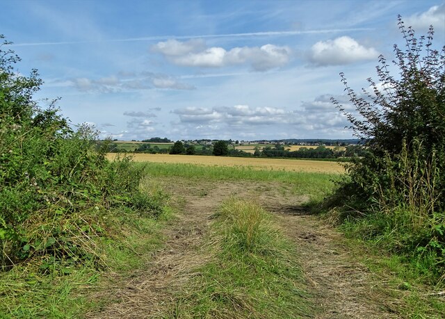
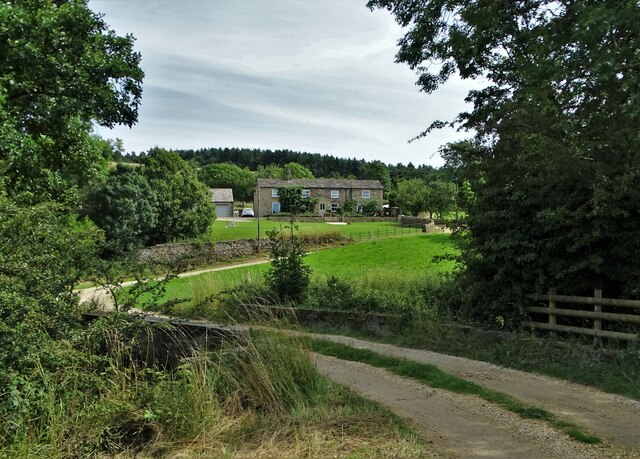
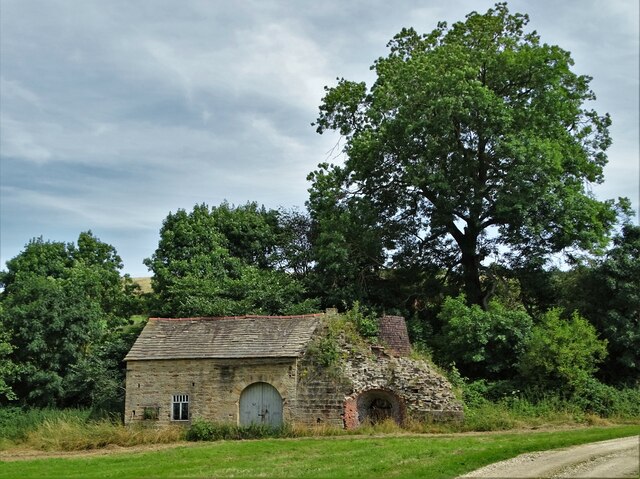
Tanyard Spring, located in Yorkshire, is a picturesque woodland area known for its natural beauty and tranquil atmosphere. Nestled within a lush forest, this enchanting spring offers a captivating sight to visitors. The spring is situated in the heart of the Tanyard Wood, which covers a vast area and is home to a diverse range of flora and fauna.

Tanyard Spring is a natural water source that flows gracefully throughout the year, providing a serene backdrop to the surrounding greenery. The crystal-clear water is sourced from underground springs, creating a refreshing oasis for both wildlife and visitors alike. The gentle sound of the water trickling adds to the peaceful ambiance of the area, inviting individuals to relax and unwind.

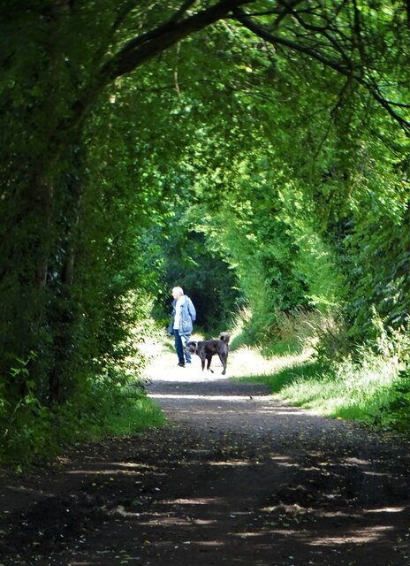
The woodland surrounding Tanyard Spring is a haven for nature enthusiasts. The forest is teeming with wildlife, including various species of birds, mammals, and insects. Visitors can spot squirrels darting between trees, hear the chirping of birds overhead, or even catch a glimpse of a deer gracefully navigating through the undergrowth.

Tanyard Spring is accessible via well-maintained paths that wind through the forest, allowing visitors to explore the area at their leisure. The woodland is also popular among hikers and nature lovers, who can enjoy the tranquility of the surroundings while immersing themselves in the natural beauty of Yorkshire.

Overall, Tanyard Spring offers a breathtaking escape from the hustle and bustle of everyday life. Its idyllic location, combined with the abundance of wildlife and serene atmosphere, makes it a must-visit destination for those seeking solace in nature.

If you have any feedback on the listing, please let us know in the comments section below.

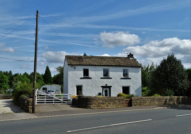
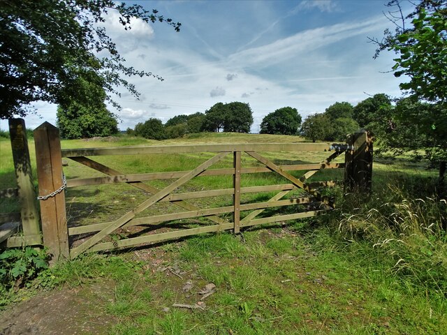
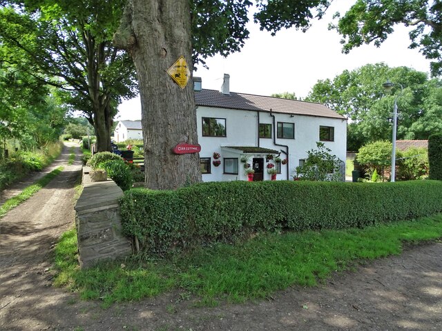
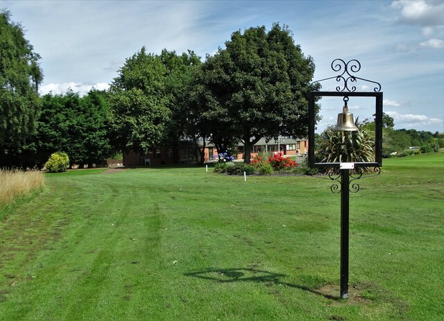
Tanyard Spring Images

Images are sourced within 2km of 53.553082/-1.5515334 or Grid Reference SE2906. Thanks to Geograph Open Source API. All images are credited.

"The Villa" at Barnby Basin Once the western terminus of the Aire and Calder Navigation Canal. The actual basin was just behind this house. The canal facilitated the movement of coal. Stanhope and Higham collieries were close by.
"The Villa" at Barnby Basin
Once the western terminus of the Aire and Calder Navigation Canal. The actual basin was just behind this house. The canal facilitated the movement of coal. Stanhope and Higham collieries were close by.
On the edge of Hugset Wood
Oak Cottage at Higham Bottom
At Silkstone Golf Club With the club house half-hidden in the trees. The bell is dedicated to the memory of a former member now deceased.
At Silkstone Golf Club
With the club house half-hidden in the trees. The bell is dedicated to the memory of a former member now deceased.
View to Kexbrough over South Yorkshire countryside From  the lane that leads from Barnby Green to Barnby Furnace
View to Kexbrough over South Yorkshire countryside
From the lane that leads from Barnby Green to Barnby Furnace
All Saints Church, Silkstone A Christian church has stood here since before 1066 with the current building dating back to the twelfth century with various additions having been made since it was first built.
All Saints Church, Silkstone
A Christian church has stood here since before 1066 with the current building dating back to the twelfth century with various additions having been made since it was first built.
Dog walker on the Silkstone Waggonway trail Constructed in 1809, the waggonway was created to take tubs of coal from the workings at Silkstone to Barnby Basin - the terminus of the Aire and Calder Canal - a mile and a half to the north. The tubs were pulled on rails by horses.
Dog walker on the Silkstone Waggonway trail
Constructed in 1809, the waggonway was created to take tubs of coal from the workings at Silkstone to Barnby Basin - the terminus of the Aire and Calder Canal - a mile and a half to the north. The tubs were pulled on rails by horses.
Low Mill Farm
Low Mill Farm
Dilapidated building at Low Mill Farm There appears to be some sort of kiln chimney to the right of this structure.
Dilapidated building at Low Mill Farm
There appears to be some sort of kiln chimney to the right of this structure.
Silkstone Waggonway sign See the Wikipedia entry for this historic coal tramway: <span class="nowrap"><a title="https://en.wikipedia.org/wiki/Silkstone_Waggonway" rel="nofollow ugc noopener" href="https://en.wikipedia.org/wiki/Silkstone_Waggonway">Link</a><img style="margin-left:2px;" alt="External link" title="External link - shift click to open in new window" src="https://s1.geograph.org.uk/img/external.png" width="10" height="10"/></span>
Silkstone Waggonway sign
See the Wikipedia entry for this historic coal tramway: LinkExternal link
Evidence of Silkstone Waggonway For fifty to sixty years in the mid-nineteenth century the waggonway facilitated the transport of coal from the Silkstone area to the canal basin at Barnby -  two miles north of the village. The coal tubs were pulled along the rails by horses.
Evidence of Silkstone Waggonway
For fifty to sixty years in the mid-nineteenth century the waggonway facilitated the transport of coal from the Silkstone area to the canal basin at Barnby - two miles north of the village. The coal tubs were pulled along the rails by horses.
Unusual grave in Silkstone churchyard Attributed to Thomas Peigham, Vicar of Silkstone 1677-89.
Unusual grave in Silkstone churchyard
Attributed to Thomas Peigham, Vicar of Silkstone 1677-89.
Huskar Disaster Monument in Silkstone churchyard Erected in memory of the twenty six children who tragically died in the Huskar coalmine disaster of July 4th 1838. For Wikipedia page see <span class="nowrap"><a title="https://en.wikipedia.org/wiki/Huskar_Pit" rel="nofollow ugc noopener" href="https://en.wikipedia.org/wiki/Huskar_Pit">Link</a><img style="margin-left:2px;" alt="External link" title="External link - shift click to open in new window" src="https://s1.geograph.org.uk/img/external.png" width="10" height="10"/></span>
Closer detail of inscriptions:-
Front face of monument:<a title="https://www.geograph.org.uk/photo/6939983" href="https://www.geograph.org.uk/photo/6939983">Link</a>
North face of monument:<a title="https://www.geograph.org.uk/photo/6939991" href="https://www.geograph.org.uk/photo/6939991">Link</a>
South face of monument:<a title="https://www.geograph.org.uk/photo/6939996" href="https://www.geograph.org.uk/photo/6939996">Link</a>
Huskar Disaster Monument in Silkstone churchyard
Erected in memory of the twenty six children who tragically died in the Huskar coalmine disaster of July 4th 1838. For Wikipedia page see LinkExternal link Closer detail of inscriptions:- Front face of monument:Link North face of monument:Link South face of monument:Link
Front face of the Huskar disaster monument In Silkstone All Saints churchyard. In memory of the twenty six children who died in a nearby coalmine on July 4th 1838. For Wikipedia entry see <span class="nowrap"><a title="https://en.wikipedia.org/wiki/Huskar_Pit" rel="nofollow ugc noopener" href="https://en.wikipedia.org/wiki/Huskar_Pit">Link</a><img style="margin-left:2px;" alt="External link" title="External link - shift click to open in new window" src="https://s1.geograph.org.uk/img/external.png" width="10" height="10"/></span>
For a full view of the monument go here: <a title="https://www.geograph.org.uk/photo/6939977" href="https://www.geograph.org.uk/photo/6939977">Link</a>
Front face of the Huskar disaster monument
In Silkstone All Saints churchyard. In memory of the twenty six children who died in a nearby coalmine on July 4th 1838. For Wikipedia entry see LinkExternal link For a full view of the monument go here: Link
North face of the Huskar disaster monument In Silkstone churchyard and in memory of the twenty six children who died in a nearby mine on July 4th 1838. The north face of the monument lists the boys who died that terrible day. The girls who died are listed on the south face. For the Huskar Pit page in Wikipedia go here <span class="nowrap"><a title="https://en.wikipedia.org/wiki/Huskar_Pit" rel="nofollow ugc noopener" href="https://en.wikipedia.org/wiki/Huskar_Pit">Link</a><img style="margin-left:2px;" alt="External link" title="External link - shift click to open in new window" src="https://s1.geograph.org.uk/img/external.png" width="10" height="10"/></span>
For a full view of the monument go here: <a title="https://www.geograph.org.uk/photo/6939977" href="https://www.geograph.org.uk/photo/6939977">Link</a>
North face of the Huskar disaster monument
In Silkstone churchyard and in memory of the twenty six children who died in a nearby mine on July 4th 1838. The north face of the monument lists the boys who died that terrible day. The girls who died are listed on the south face. For the Huskar Pit page in Wikipedia go here LinkExternal link For a full view of the monument go here: Link
South face of the Huskar monument, Silkstone In All Saints churchyard and in memory of the twenty six children in a nearby coalmine on July 4th, 1838. The south face shows the names of the girls who died that terrible day while the north face lists the names of the boys who died. For the Huskar Pit Wikipedia page go here: <span class="nowrap"><a title="https://en.wikipedia.org/wiki/Huskar_Pit" rel="nofollow ugc noopener" href="https://en.wikipedia.org/wiki/Huskar_Pit">Link</a><img style="margin-left:2px;" alt="External link" title="External link - shift click to open in new window" src="https://s1.geograph.org.uk/img/external.png" width="10" height="10"/></span>
For a full view of the monument go here: <a title="https://www.geograph.org.uk/photo/6939977" href="https://www.geograph.org.uk/photo/6939977">Link</a>
South face of the Huskar monument, Silkstone
In All Saints churchyard and in memory of the twenty six children in a nearby coalmine on July 4th, 1838. The south face shows the names of the girls who died that terrible day while the north face lists the names of the boys who died. For the Huskar Pit Wikipedia page go here: LinkExternal link For a full view of the monument go here: Link
Old milestone The A635 goes down and under the M1.   It then climbs from Cawthorpe Basin towards the village.   The third West Riding County Council milestone from Barnsley is on the north side of the road.  It was painted in 2015.  At some time in its history the backing stone had been painted so it was given a new coat of white masonry paint.   This milestone within Cawthorne Parish is Grade II listed 1151794.
Old milestone
The A635 goes down and under the M1. It then climbs from Cawthorpe Basin towards the village. The third West Riding County Council milestone from Barnsley is on the north side of the road. It was painted in 2015. At some time in its history the backing stone had been painted so it was given a new coat of white masonry paint. This milestone within Cawthorne Parish is Grade II listed 1151794.
Old milestone This stone set up on the green in Cawthorne had the mileages to Huddersfield and Barnsley defaced, possibly because of the 1940 wartime Government instructions.   It was also buried but found during pipe laying works.  It was painted in 2015 by a professional painter and decorator who said how difficult it was to paint the legends and hands.  It makes a fine feature on the green.  It may date from the 19C and is Grade II listed 1151777.
Old milestone
This stone set up on the green in Cawthorne had the mileages to Huddersfield and Barnsley defaced, possibly because of the 1940 wartime Government instructions. It was also buried but found during pipe laying works. It was painted in 2015 by a professional painter and decorator who said how difficult it was to paint the legends and hands. It makes a fine feature on the green. It may date from the 19C and is Grade II listed 1151777.
Show me another place!

Tanyard Spring is located at Grid Ref: SE2906 (Lat: 53.553082, Lng: -1.5515334)

Division: West Riding

Unitary Authority: Barnsley

Police Authority: South Yorkshire

What 3 Words

///goggles.newspaper.signal. Near Silkstone, South Yorkshire

Nearby Locations

Tanyard Spring

Related Wikis

Nearby Amenities

Located within 500m of 53.553082,-1.5515334
Barrier: stile
Lat/Long: 53.5542111/-1.5515563
Barrier: stile
Lat/Long: 53.5513633/-1.5531869
Barrier: stile
Lat/Long: 53.5519243/-1.5549298
Barrier: stile
Lat/Long: 53.5553162/-1.5558829
Barrier: stile
Lat/Long: 53.5553623/-1.5559526
Barrier: stile
Lat/Long: 53.557079/-1.5492294
Barrier: stile
Lat/Long: 53.556229/-1.5511212
The data included in this document is from www.openstreetmap.org. The data is made available under ODbL.

Have you been to Tanyard Spring?

Leave your review of Tanyard Spring below (or comments, questions and feedback).