Little Upsland Wood

Wood, Forest in Yorkshire Hambleton

England

Little Upsland Wood

Arable land at Kirklington Straw bales in a field to the south of Kirklington village.
Arable land at Kirklington Credit: Gordon Hatton

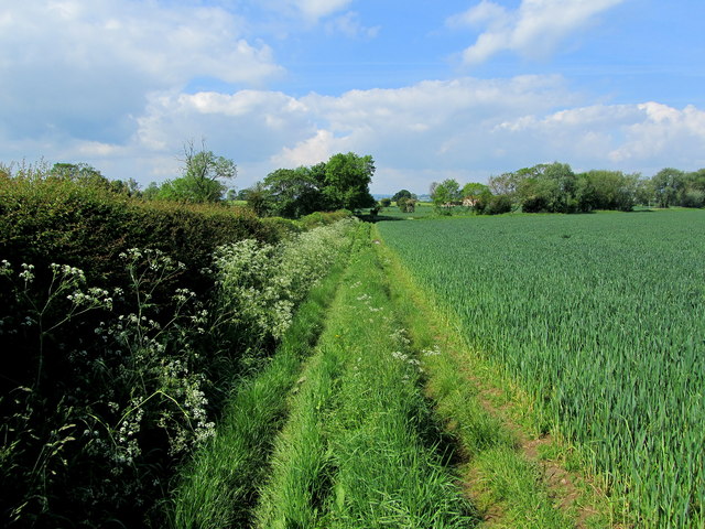
Little Upsland Wood is a small but enchanting woodland located in the picturesque region of Yorkshire, England. Nestled within the lush countryside, this woodland covers an area of approximately 50 acres and is a haven for nature enthusiasts and avid hikers alike.

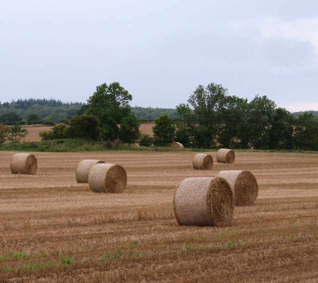
The woodland is characterized by its diverse flora and fauna, with a variety of tree species dominating the landscape. Majestic oak, beech, and ash trees tower over the forest floor, providing a rich habitat for a multitude of wildlife. The woodland floor is adorned with carpets of vibrant bluebells during the spring, creating a breathtaking sight for visitors.

Tranquility and serenity pervade Little Upsland Wood, making it the ideal destination for those seeking respite from the hustle and bustle of everyday life. The peaceful ambience is further enhanced by the gentle babbling of a nearby brook, which meanders its way through the wood, adding to the natural charm of the surroundings.

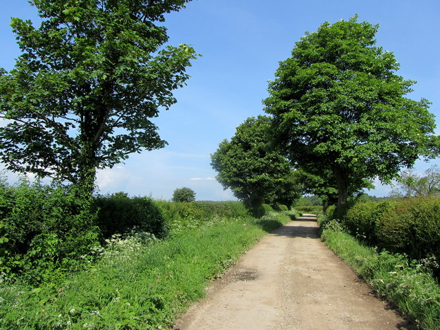
The wood is crisscrossed with a network of well-maintained footpaths, allowing visitors to explore its hidden treasures. As they wander through the dappled sunlight, they may encounter a variety of woodland creatures, including squirrels, rabbits, and an array of bird species. The wood is also home to a small population of deer, which can occasionally be spotted grazing in the clearings.

Little Upsland Wood is a popular destination for nature lovers, photographers, and families looking for a peaceful retreat. Its natural beauty and tranquil atmosphere make it a must-visit location for anyone seeking to immerse themselves in the splendor of Yorkshire's countryside.

If you have any feedback on the listing, please let us know in the comments section below.

Little Upsland Wood Images

Images are sourced within 2km of 54.224022/-1.5449571 or Grid Reference SE2981. Thanks to Geograph Open Source API. All images are credited.
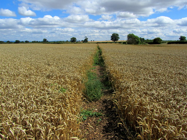
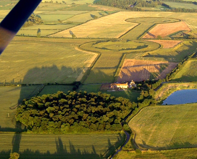
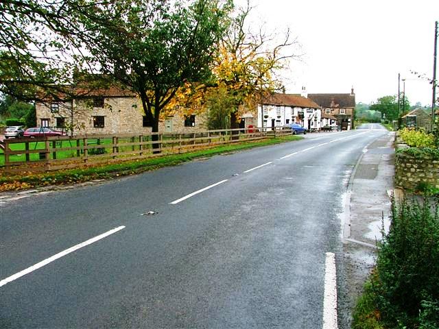
Arable land at Kirklington Straw bales in a field to the south of Kirklington village.
Arable land at Kirklington
Straw bales in a field to the south of Kirklington village.
Thornborough Small village, very much off the beaten track - noted for the abundance of prehistoric henges close by.
Thornborough
Small village, very much off the beaten track - noted for the abundance of prehistoric henges close by.
Footpath leading away from Thornborough The area between the A1, A61 and the River Ure has very few public footpaths and bridleways - this is one of them, so I am glad to see the farmer responsible for this field of wheat has left provision for pedestrians.
Footpath leading away from Thornborough
The area between the A1, A61 and the River Ure has very few public footpaths and bridleways - this is one of them, so I am glad to see the farmer responsible for this field of wheat has left provision for pedestrians.
The Hall, Kirklington Seen from Whinwath Lane on the north western extremity of the village.  Originally built by Sir Christopher Wandesford circa 1570, the hall was much altered in the 18th and 19th centuries.
The Hall, Kirklington
Seen from Whinwath Lane on the north western extremity of the village. Originally built by Sir Christopher Wandesford circa 1570, the hall was much altered in the 18th and 19th centuries.
Plane Tree Buildings Farm outbuildings on Whinwath Lane near Kirklington
Plane Tree Buildings
Farm outbuildings on Whinwath Lane near Kirklington
Whinwath Lane (1) Pleasant track contained within hedgerows leading towards Red House from the village of Kirklington.
Whinwath Lane (1)
Pleasant track contained within hedgerows leading towards Red House from the village of Kirklington.
Whinwath Lane (2) Pleasant country track betwixt hedgerows, that describes a zig zag course to its ultimate destination at Red House
Whinwath Lane (2)
Pleasant country track betwixt hedgerows, that describes a zig zag course to its ultimate destination at Red House
Whinwath Lane (3) Pleasant country track giving access between the village of Kirklington and Red House.
Whinwath Lane (3)
Pleasant country track giving access between the village of Kirklington and Red House.
Footpath in Upsland Public footpath having just left the track of Whinwath Lane heads beside this arable field, before swinging south towards Lime Lane.
Footpath in Upsland
Public footpath having just left the track of Whinwath Lane heads beside this arable field, before swinging south towards Lime Lane.
Winter cereal crop, Kirklington
Crop field. Upsland Off Lime Lane (B6267).
Crop field. Upsland
Off Lime Lane (B6267).
Bend in Lime Lane (B6267) Looking east.
Bend in Lime Lane (B6267)
Looking east.
Mixed fields near Berryhills View from Lime Lane (B6267).
Mixed fields near Berryhills
View from Lime Lane (B6267).
Footpath in Carthorpe parish Field edge path, number 10.25/8/1 on Carthorpe Moor.
Footpath in Carthorpe parish
Field edge path, number 10.25/8/1 on Carthorpe Moor.
Footpath across cropland Two paths diverge from the roadside here. A line through the crops marks the line of 10.85/1/1 which is heading towards Kirklington. Off picture to the left is another little used path [10.85/4/2] which leads towards Red House farm.
Footpath across cropland
Two paths diverge from the roadside here. A line through the crops marks the line of 10.85/1/1 which is heading towards Kirklington. Off picture to the left is another little used path [10.85/4/2] which leads towards Red House farm.
Kirklington village green. The village green at Kirklington is bordered by attractive old houses.
Kirklington village green.
The village green at Kirklington is bordered by attractive old houses.
Twin Footpaths at  Lime Lane Both of these footpaths cross farmland and eventually end up at the same village of Kirklington.
Twin Footpaths at Lime Lane
Both of these footpaths cross farmland and eventually end up at the same village of Kirklington.
Trees on Lime Lane
Trees on Lime Lane
Show me another place!

Little Upsland Wood is located at Grid Ref: SE2981 (Lat: 54.224022, Lng: -1.5449571)

Division: North Riding

Administrative County: North Yorkshire

District: Hambleton

Police Authority: North Yorkshire

What 3 Words

///zone.forget.refreshed. Near Masham, North Yorkshire

Nearby Locations

Little Upsland Wood

Related Wikis

Thornborough, North Yorkshire

Thornborough is a village in Hambleton District of North Yorkshire, England. It is about 7 miles (11 km) south of Bedale and 3 miles (5 km) west of the...

Thornborough Henges

The Thornborough Henges are an ancient monument complex that includes the three aligned henges that give the site its name. They are located on a raised...

Nosterfield

Nosterfield is a hamlet within the civil parish of West Tanfield in the Hambleton district of North Yorkshire, England formerly used for quarrying. Several...

Kirklington-cum-Upsland

Kirklington-cum-Upsland is a civil parish in the Hambleton district of North Yorkshire, England. The main settlement is Kirklington. Upsland is a single...

Nearby Amenities

Located within 500m of 54.224022,-1.5449571
The data included in this document is from www.openstreetmap.org. The data is made available under ODbL.

Have you been to Little Upsland Wood?

Leave your review of Little Upsland Wood below (or comments, questions and feedback).