Barnacle's Plantation
Wood, Forest in Warwickshire North Warwickshire
England
Barnacle's Plantation
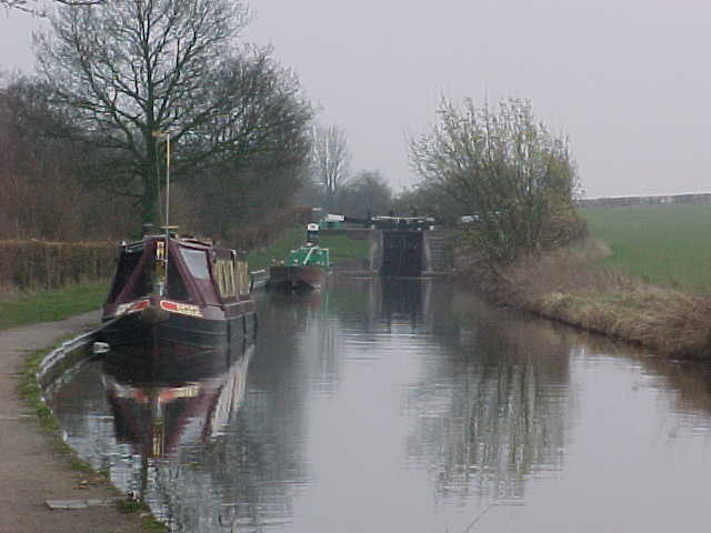
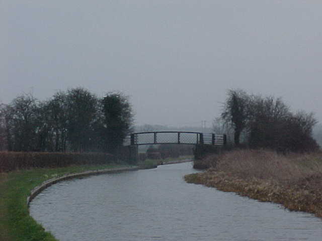
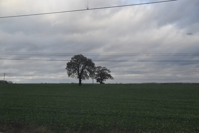
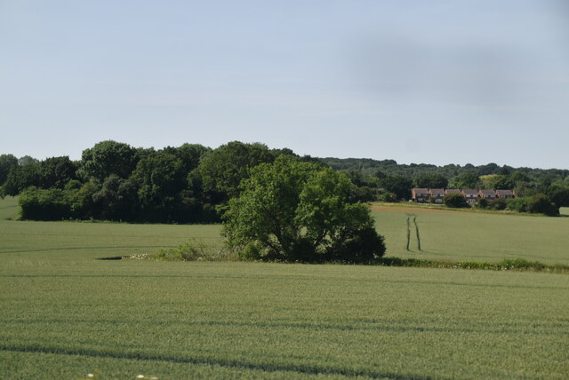
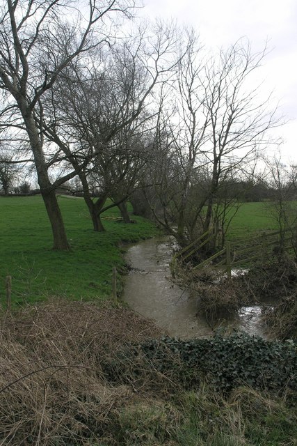
Barnacle's Plantation is a picturesque woodland area located in Warwickshire, England. Situated in the heart of the county, this plantation provides a serene and enchanting escape from the bustling city life. Spanning over a vast expanse, the woodland is characterized by its dense canopy of trees, predominantly consisting of oak, beech, and hazel.
The plantation offers a diverse range of flora and fauna, making it a haven for nature enthusiasts and wildlife lovers. The forest floor is adorned with a vibrant carpet of wildflowers, including bluebells, primroses, and wood anemones, adding a splash of color to the landscape. This floral abundance attracts an array of butterflies and insects, further enhancing the plantation's natural beauty.
Barnacle's Plantation is also home to various woodland creatures, such as deer, foxes, and rabbits, which can often be spotted roaming freely amidst the trees. The tranquil atmosphere and lush foliage provide an ideal habitat for these animals.
Visitors to the plantation can enjoy a peaceful stroll along the well-maintained trails, breathing in the fresh woodland air and immersing themselves in the tranquility of nature. The plantation also offers opportunities for birdwatching, with a variety of bird species, including woodpeckers and owls, frequently spotted within its boundaries.
Barnacle's Plantation is not only a natural haven but also holds historical significance. It is believed to have been a hunting ground for the nobility in medieval times, and remnants of ancient structures can still be found scattered throughout the woodland, adding an air of intrigue and allure.
Overall, Barnacle's Plantation is a captivating woodland retreat, offering a perfect blend of natural beauty, wildlife, and historical charm.
If you have any feedback on the listing, please let us know in the comments section below.
Barnacle's Plantation Images
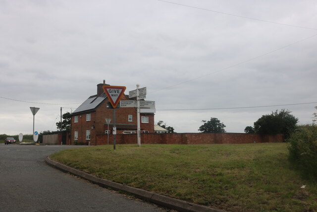
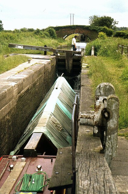
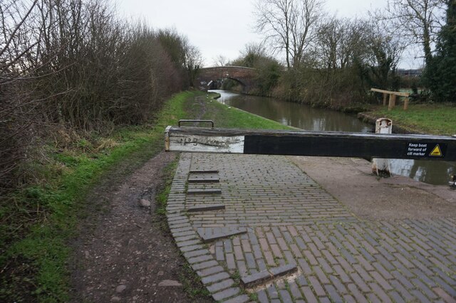
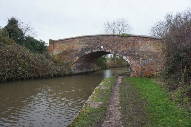
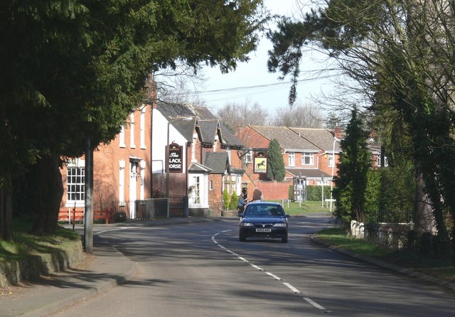
Images are sourced within 2km of 52.606011/-1.5623263 or Grid Reference SK2901. Thanks to Geograph Open Source API. All images are credited.


Barnacle's Plantation is located at Grid Ref: SK2901 (Lat: 52.606011, Lng: -1.5623263)
Administrative County: Warwickshire
District: North Warwickshire
Police Authority: Warwickshire
What 3 Words
///remarking.issues.qualify. Near Atherstone, Warwickshire
Nearby Locations
Related Wikis

Morebarne Grange
Morebarne or Moore Barn is a grange originally belonging to the Abbey of Merevale, near Orton on the Hill in Sparkenhoe Hundred, Leicestershire, England...

River Sence
The River Sence is a river which flows in Leicestershire, England. The tributaries of the Sence, including the Saint and Tweed, fan out over much of western...

Atherstone Town F.C.
Atherstone Town Community Football Club is a football club based in Atherstone, Warwickshire, England. They are currently members of the Midland League...

Mercia
Mercia (, Old English: Miercna rīċe; Latin: Merciorum regnum) was one of the three main Anglic kingdoms founded after Sub-Roman Britain was settled by...
Sheepy
Sheepy is a civil parish in the Borough of Hinckley and Bosworth in Leicestershire, England. It contains the villages of Sheepy Magna, Sheepy Parva, Sibson...

Warton, Warwickshire
Warton is a village in the North Warwickshire district of Warwickshire, England. It is five miles east of Tamworth and four miles north-west of Atherstone...
River Tweed, Leicestershire
The River Tweed is a short tributary of the River Sence. It rises around the west of the village of Barwell, Leicestershire, England and flows westwards...

Atherstone railway station
Atherstone is a railway station serving the market town of Atherstone in Warwickshire, England. It is on the Trent Valley section of the West Coast Main...
Nearby Amenities
Located within 500m of 52.606011,-1.5623263Have you been to Barnacle's Plantation?
Leave your review of Barnacle's Plantation below (or comments, questions and feedback).