Bullimore Wood
Wood, Forest in Warwickshire Warwick
England
Bullimore Wood
Bullimore Wood is a picturesque woodland located in Warwickshire, a county in the heart of England. Covering an area of approximately 50 hectares, it is a natural haven that attracts visitors from near and far. The wood is characterized by its diverse array of tree species, including oak, ash, beech, and birch, which create a rich and vibrant tapestry of colors throughout the seasons.
The forest floor of Bullimore Wood is adorned with a variety of wildflowers, ferns, and mosses, making it a haven for wildlife. Visitors can expect to see an abundance of bird species, such as woodpeckers, thrushes, and owls, as well as small mammals like squirrels, rabbits, and foxes. The wood is also home to several species of bats, adding to its biodiversity.
A network of well-maintained footpaths allows visitors to explore the wood at their leisure, immersing themselves in the tranquility of nature. These paths lead to hidden clearings, where visitors can relax and enjoy a picnic amidst the natural beauty. Additionally, there are several benches strategically placed throughout the wood, providing perfect spots for contemplation or wildlife watching.
Bullimore Wood is a popular destination for nature lovers, photographers, and families alike. The wood offers a serene escape from the hustle and bustle of everyday life, providing an opportunity to reconnect with nature and enjoy the peace and tranquility it has to offer. Whether it's a leisurely stroll, a birdwatching expedition, or simply a moment of solitude, Bullimore Wood provides a diverse and enchanting experience for all who visit.
If you have any feedback on the listing, please let us know in the comments section below.
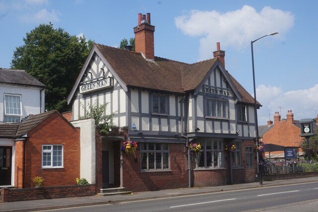
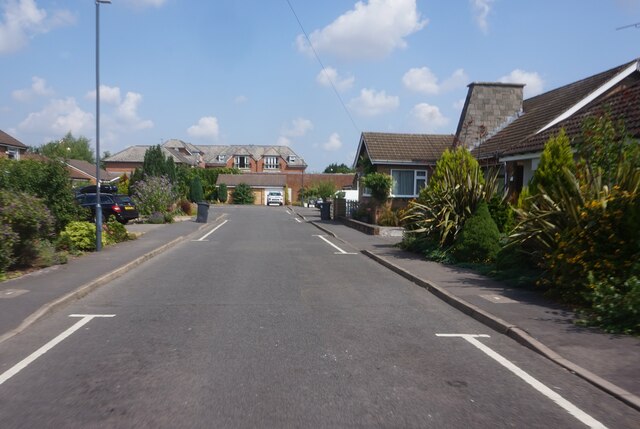
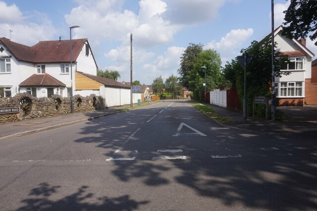
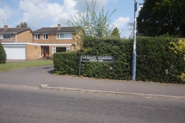
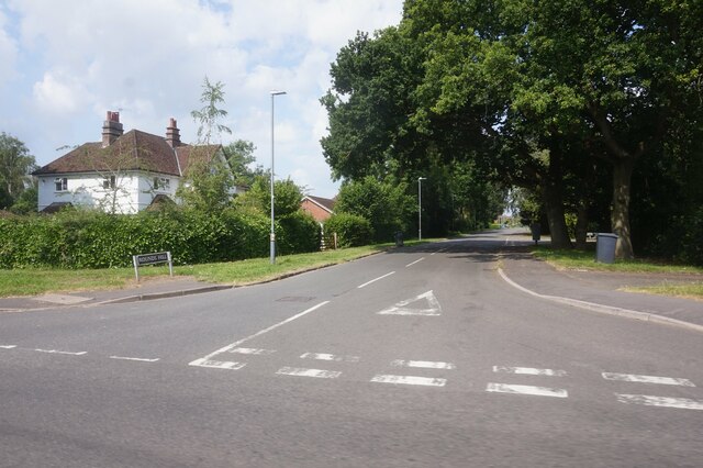
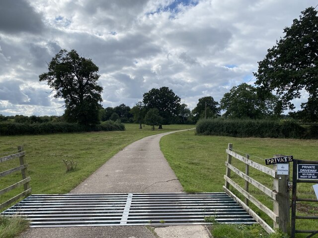
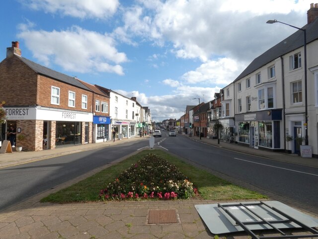
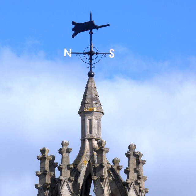
Bullimore Wood Images
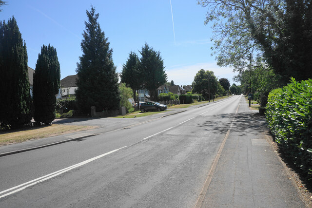
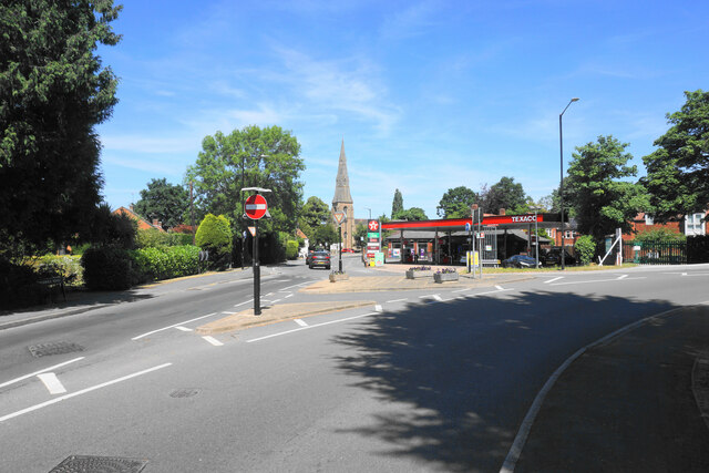
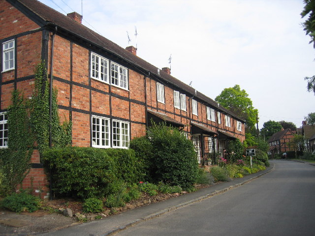
Images are sourced within 2km of 52.329561/-1.5656158 or Grid Reference SP2970. Thanks to Geograph Open Source API. All images are credited.


Bullimore Wood is located at Grid Ref: SP2970 (Lat: 52.329561, Lng: -1.5656158)
Administrative County: Warwickshire
District: Warwick
Police Authority: Warwickshire
What 3 Words
///pest.caked.plenty. Near Leek Wootton, Warwickshire
Nearby Locations
Related Wikis

Kenilworth
Kenilworth ( KEN-il-wərth) is a market town and civil parish in the Warwick District in Warwickshire, England, 6 miles (10 km) south-west of Coventry,...

Wootton bridge collapse
The Wootton bridge collapse occurred on 11 June 1861, when the rail bridge over the road between Leek Wootton and Hill Wootton in Warwickshire collapsed...

Leek Wootton
Leek Wootton is a village and former civil parish, now in the parish of Leek Wootton and Guy's Cliffe, in the Warwick district, in the county of Warwickshire...

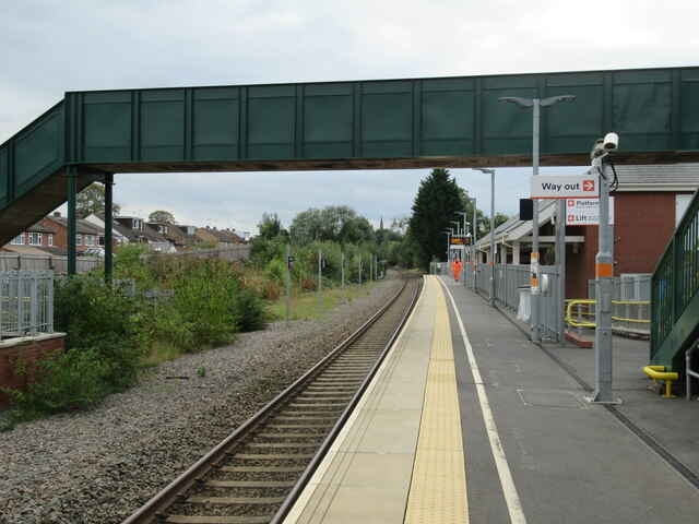
Kenilworth railway station
Kenilworth railway station is a railway station in Kenilworth, Warwickshire, England on the Coventry to Leamington Line. The original Kenilworth station...

Talisman Theatre and Arts Centre
The Talisman Theatre and Arts Centre is a community theatre and company located in Kenilworth, Warwickshire, England. The building has a foyer/meeting...

Woodside Hotel, Kenilworth
The Woodside Hotel is a building of historical significance in Kenilworth, Warwickshire, England. It was the residence of several notable people from about...
Ashow
Ashow is a small village and civil parish in the Warwick district of Warwickshire, England, about 2.5 miles (4 km) south-east of central Kenilworth. According...
Priory Theatre
The Priory Theatre is an amateur theatre building and company located in Kenilworth, Warwickshire, England. There are 120 seats in a circle and stall layout...
Nearby Amenities
Located within 500m of 52.329561,-1.5656158Have you been to Bullimore Wood?
Leave your review of Bullimore Wood below (or comments, questions and feedback).