Booler's Wood

Wood, Forest in Derbyshire Amber Valley

England

Booler's Wood

Ecclesbourne Valley Railway
Ecclesbourne Valley Railway Credit: Tim Glover

Booler's Wood is a picturesque forest located in Derbyshire, England. Spanning over 100 acres, this enchanting woodland is known for its diverse range of flora and fauna, making it a popular destination for nature enthusiasts and hikers alike.

The wood is predominantly composed of broadleaf trees, including oak, beech, and ash, which provide a rich canopy and create a tranquil and inviting atmosphere. The forest floor is covered with a carpet of ferns, bluebells, and wildflowers, adding to the natural beauty of the area.

Booler's Wood is crisscrossed by a network of well-maintained footpaths and trails, allowing visitors to explore and discover its hidden treasures. The paths wind through the forest, leading to secluded clearings, babbling brooks, and small ponds, providing ample opportunities for peaceful contemplation and wildlife spotting.

Speaking of wildlife, Booler's Wood is home to a diverse range of animals, including deer, foxes, badgers, and a variety of bird species. Birdwatchers flock to the wood to catch a glimpse of elusive species such as the great spotted woodpecker and tawny owl.

The wood also holds historical significance, with remnants of ancient settlements and Roman roads found in the surrounding areas. This adds an extra layer of intrigue for history enthusiasts and archaeology buffs.

Overall, Booler's Wood offers a serene and captivating escape from the hustle and bustle of everyday life. Its natural beauty, rich biodiversity, and historical significance make it a must-visit destination for anyone seeking to reconnect with nature and explore the wonders of Derbyshire.

If you have any feedback on the listing, please let us know in the comments section below.

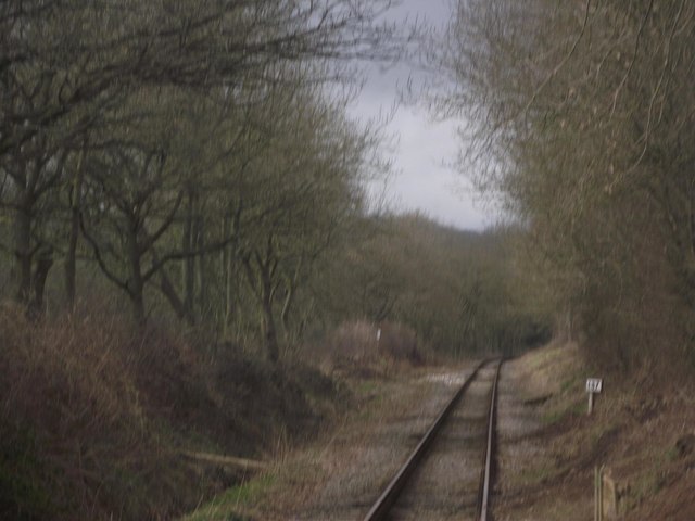
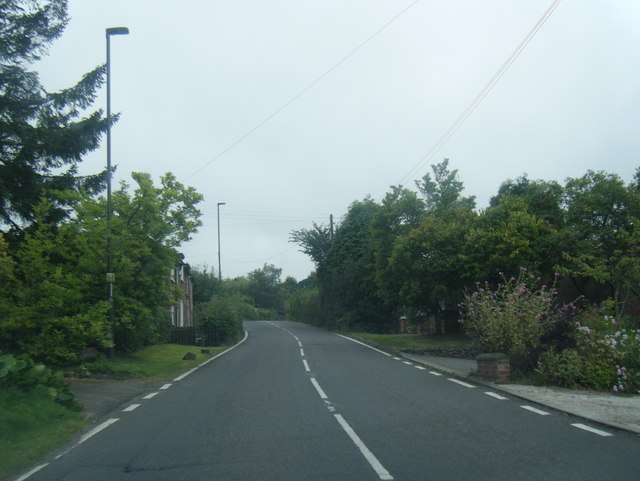
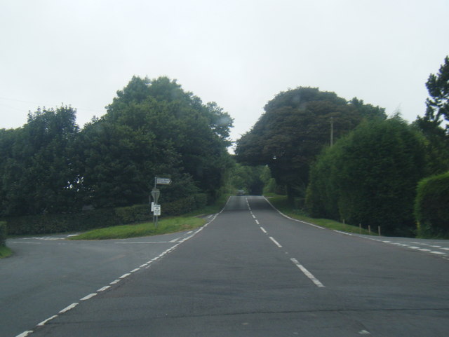
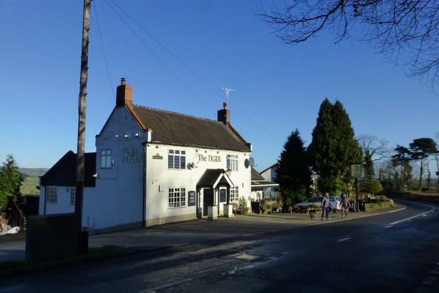
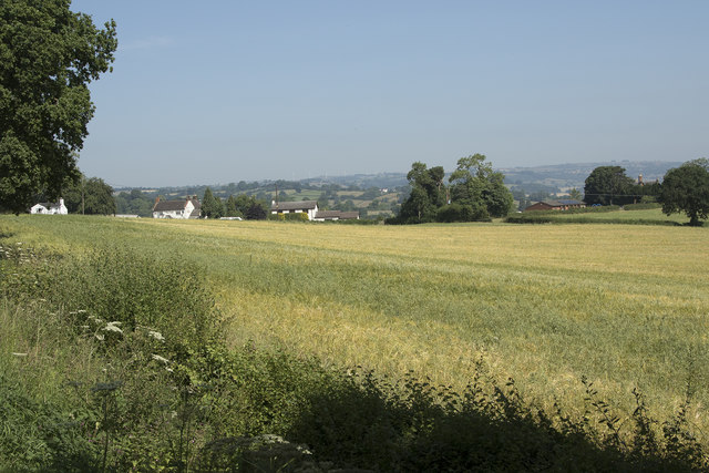
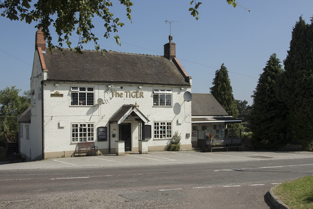
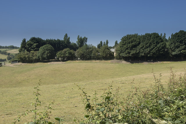
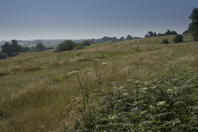
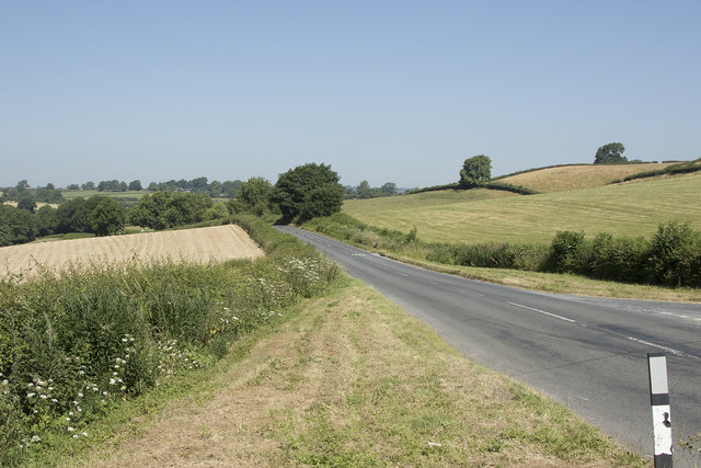
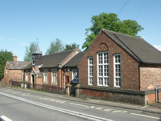
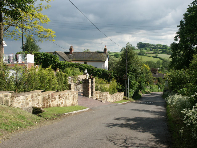
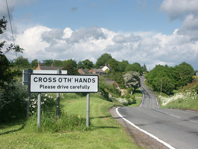
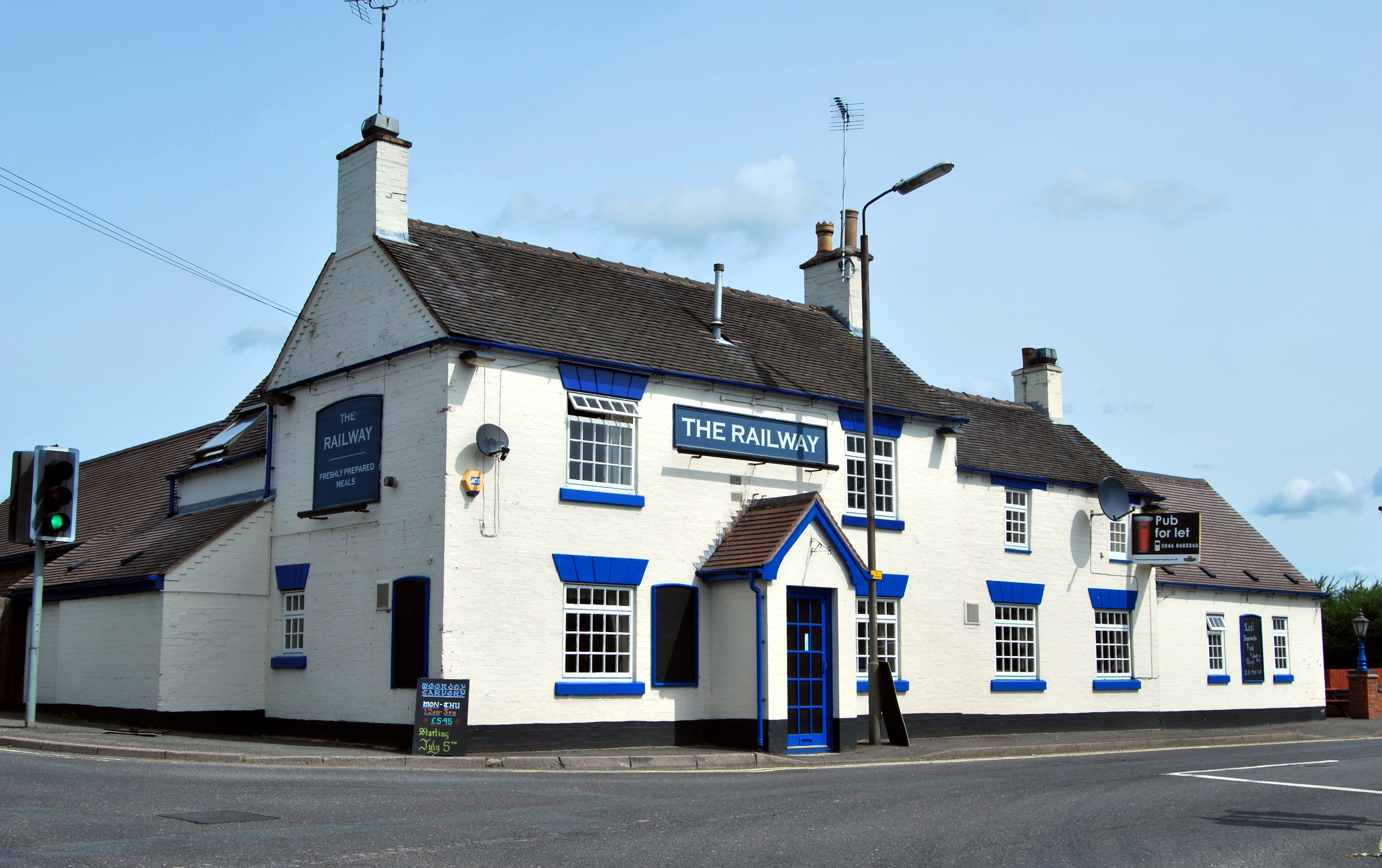
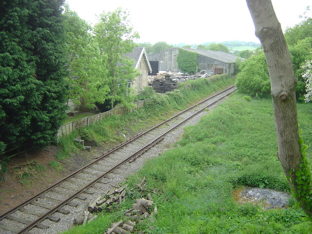
Booler's Wood Images

Images are sourced within 2km of 53.007159/-1.5598318 or Grid Reference SK2945. Thanks to Geograph Open Source API. All images are credited.

Ecclesbourne Valley Railway
A517 heading west out of Turnditch
A517 at Cross o' th' hands junction
The Tiger On the western approach to Turnditch.
The Tiger
On the western approach to Turnditch.
The sign of The Tiger
The Cock Inn The restaurant of the Cock Inn is through the glass wall seen at the end of the two storey extension. The gardens with box hedges are to the left and right of the path and they have a variety of ornamental and flowering plants to improve the atmosphere.
The Cock Inn
The restaurant of the Cock Inn is through the glass wall seen at the end of the two storey extension. The gardens with box hedges are to the left and right of the path and they have a variety of ornamental and flowering plants to improve the atmosphere.
A minor road junction Looking at the junction of Bullhurst Lane (to Hulland) and Highfield Lane (which runs down to some farm houses along its length).  This is all just N of the Cock Inn Muggington. The inn has recently been renovated and brought back into use after standing derelict and empty for many years.
A minor road junction
Looking at the junction of Bullhurst Lane (to Hulland) and Highfield Lane (which runs down to some farm houses along its length). This is all just N of the Cock Inn Muggington. The inn has recently been renovated and brought back into use after standing derelict and empty for many years.
D5343 at Willow Crossing In the summer of 2017, class 26 D5343 visited the Ecclesbourne Valley Railway from the Gloucestershire and Warwickshire Railway. Here, it is passing the crossing for footpath F10, known as Willow Crossing.
D5343 at Willow Crossing
In the summer of 2017, class 26 D5343 visited the Ecclesbourne Valley Railway from the Gloucestershire and Warwickshire Railway. Here, it is passing the crossing for footpath F10, known as Willow Crossing.
Footbridge over the Ecclesbourne
Old Milepost north of Mugginton Cast iron post by the UC road, in parish of Weston Underwood (Amber Valley District), Bullhurst Lane, South East of the Cock PH, on grass verge in front of hedge, on West side of road. Hulland iron casting, erected by the Wirksworth & Derby turnpike trust in the 19th century. Top section broken off.

Inscription reads:-
: (HULL.ND / WARD) / 2 / MILES : : (133 / LONDON) : : (DERBY) / 7 / MILES : : J. HAYWOOD JUNᴿ. / PHOENIX FOUNDRY/ DERBY :

Grade II listed.
List Entry Number: 1233093 <span class="nowrap"><a title="https://historicengland.org.uk/listing/the-list/list-entry/1233093" rel="nofollow ugc noopener" href="https://historicengland.org.uk/listing/the-list/list-entry/1233093">Link</a><img style="margin-left:2px;" alt="External link" title="External link - shift click to open in new window" src="https://s1.geograph.org.uk/img/external.png" width="10" height="10"/></span>

Milestone Society National ID: DE_DEHW07
Old Milepost north of Mugginton
Cast iron post by the UC road, in parish of Weston Underwood (Amber Valley District), Bullhurst Lane, South East of the Cock PH, on grass verge in front of hedge, on West side of road. Hulland iron casting, erected by the Wirksworth & Derby turnpike trust in the 19th century. Top section broken off. Inscription reads:- : (HULL.ND / WARD) / 2 / MILES : : (133 / LONDON) : : (DERBY) / 7 / MILES : : J. HAYWOOD JUNᴿ. / PHOENIX FOUNDRY/ DERBY : Grade II listed. List Entry Number: 1233093 LinkExternal link Milestone Society National ID: DE_DEHW07
Old Milepost north of Muggintonlane End Cast iron post by the UC road, in parish of Hulland Ward (Derbyshire Dales District), Derby Lane; just South (down hill) from Common Farm, on grass verge in front of high hedge (not easily seen from North), on West side of road. Hulland iron casting, erected by the Wirksworth & Derby turnpike trust in the 19th century. 

Inscription reads:-
: HULL.ND / WARD / 1 / MILE : : 134 / LONDON / HULLANDWARD : : DERBY / 8 / MILES : : J. HAYWOOD JUNᴿ. / PHOENIX FOUNDRY/ DERBY :

Grade II listed.
List Entry Number: 1109719 <span class="nowrap"><a title="https://historicengland.org.uk/listing/the-list/list-entry/1109719" rel="nofollow ugc noopener" href="https://historicengland.org.uk/listing/the-list/list-entry/1109719">Link</a><img style="margin-left:2px;" alt="External link" title="External link - shift click to open in new window" src="https://s1.geograph.org.uk/img/external.png" width="10" height="10"/></span>

Milestone Society National ID: DE_DEHW08
Old Milepost north of Muggintonlane End
Cast iron post by the UC road, in parish of Hulland Ward (Derbyshire Dales District), Derby Lane; just South (down hill) from Common Farm, on grass verge in front of high hedge (not easily seen from North), on West side of road. Hulland iron casting, erected by the Wirksworth & Derby turnpike trust in the 19th century. Inscription reads:- : HULL.ND / WARD / 1 / MILE : : 134 / LONDON / HULLANDWARD : : DERBY / 8 / MILES : : J. HAYWOOD JUNᴿ. / PHOENIX FOUNDRY/ DERBY : Grade II listed. List Entry Number: 1109719 LinkExternal link Milestone Society National ID: DE_DEHW08
A country cottage A cottage on the corner of two minor roads.
A country cottage
A cottage on the corner of two minor roads.
A field of ripening wheat In this hot weather it should not take too long for the field of wheat to become fully ripe.
A field of ripening wheat
In this hot weather it should not take too long for the field of wheat to become fully ripe.
The Tiger Pub A country pub at a road junction of minor roads in Derbyshire.
The Tiger Pub
A country pub at a road junction of minor roads in Derbyshire.
Drying farmland The field is empty of grazing animals and the grass looks quite short so maybe it has already been grazed or perhaps cut for silage or hay.
Drying farmland
The field is empty of grazing animals and the grass looks quite short so maybe it has already been grazed or perhaps cut for silage or hay.
Rough pasture The field looks as though it is very rough pasture with a wide range natural plants that some would call weeds but are really just our normal countryside plants.
Rough pasture
The field looks as though it is very rough pasture with a wide range natural plants that some would call weeds but are really just our normal countryside plants.
Looking along Intake Lane The lane runs quite close to Mercaston Farm
Looking along Intake Lane
The lane runs quite close to Mercaston Farm
A minor road near Cross o' the Hands Cross o' the Hands is a very small village about 400 metres from this road which leads away from the junction that leads towards the village.
A minor road near Cross o' the Hands
Cross o' the Hands is a very small village about 400 metres from this road which leads away from the junction that leads towards the village.
Show me another place!

Booler's Wood is located at Grid Ref: SK2945 (Lat: 53.007159, Lng: -1.5598318)

Administrative County: Derbyshire

District: Amber Valley

Police Authority: Derbyshire

What 3 Words

///enrolling.lend.trustees. Near Duffield, Derbyshire

Nearby Locations

Booler's Wood Corkley Wood

Related Wikis

Nearby Amenities

Located within 500m of 53.007159,-1.5598318
Barrier: stile
Steps: 2
Stile: stepover
Lat/Long: 53.0078226/-1.5616328
Barrier: stile
Steps: 2
Stile: stepover
Lat/Long: 53.0102102/-1.5576123
Barrier: stile
Steps: 2
Stile: stepover
Lat/Long: 53.0107195/-1.5571413
Place: farm
Lat/Long: 53.0064221/-1.5554966
The data included in this document is from www.openstreetmap.org. The data is made available under ODbL.

Have you been to Booler's Wood?

Leave your review of Booler's Wood below (or comments, questions and feedback).