Hagg Wood
Wood, Forest in Derbyshire Derbyshire Dales
England
Hagg Wood
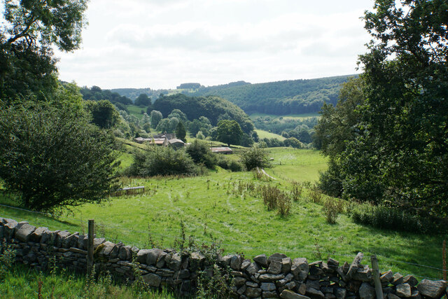
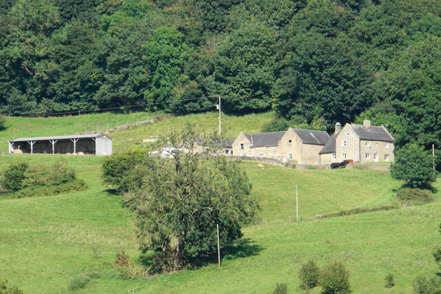
Hagg Wood is a picturesque woodland located in Derbyshire, England. Covering an area of approximately 100 acres, this ancient forest is a haven of natural beauty and tranquillity. Nestled between the villages of Hathersage and Grindleford, Hagg Wood offers a peaceful retreat for nature lovers and outdoor enthusiasts.
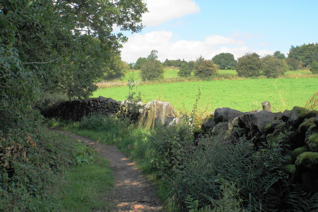
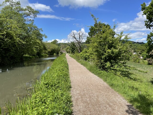
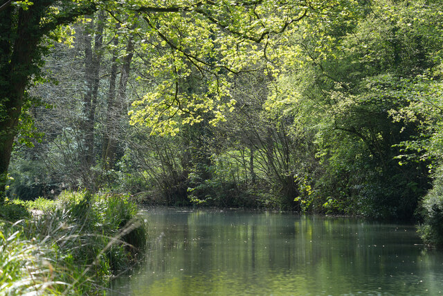
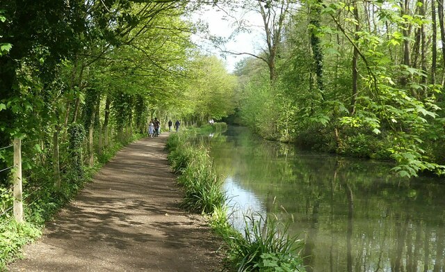
The wood is predominantly composed of native broadleaf trees, including oak, beech, and birch, which create a dense canopy overhead. The forest floor is covered in a vibrant carpet of wildflowers and ferns, adding to the enchanting ambiance of the woodland. A network of well-maintained footpaths winds its way through the forest, allowing visitors to explore the area and discover its hidden treasures.
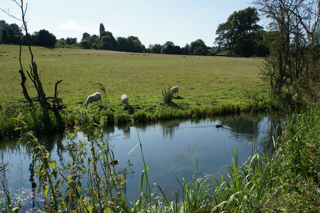
Hagg Wood is home to a diverse range of wildlife, including numerous bird species such as woodpeckers, owls, and thrushes. Small mammals like squirrels, foxes, and badgers can also be spotted within the wood. The tranquil atmosphere of the forest makes it an ideal spot for birdwatching and wildlife observation.
The wood has a rich historical significance, with evidence of human presence dating back to the Bronze Age. Archaeological remains, including ancient burial sites and stone tools, have been discovered within the woodland, adding an extra layer of intrigue for history enthusiasts.
Overall, Hagg Wood offers a perfect blend of natural beauty, wildlife, and history, making it a cherished gem in Derbyshire's countryside. Whether it's a leisurely walk, a picnic among the trees, or an exploration of the area's past, Hagg Wood provides a delightful experience for visitors of all ages.
If you have any feedback on the listing, please let us know in the comments section below.
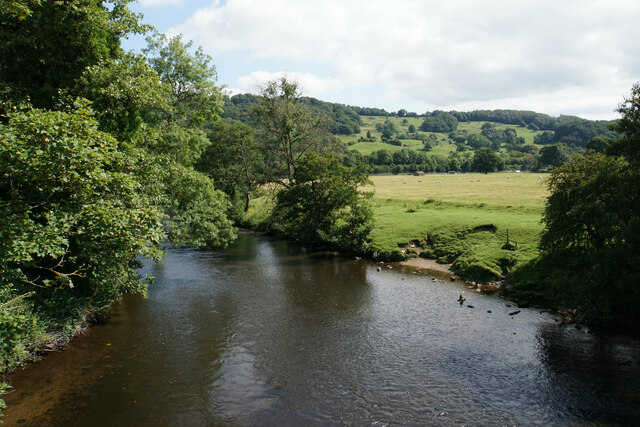
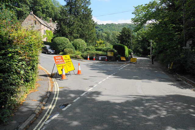
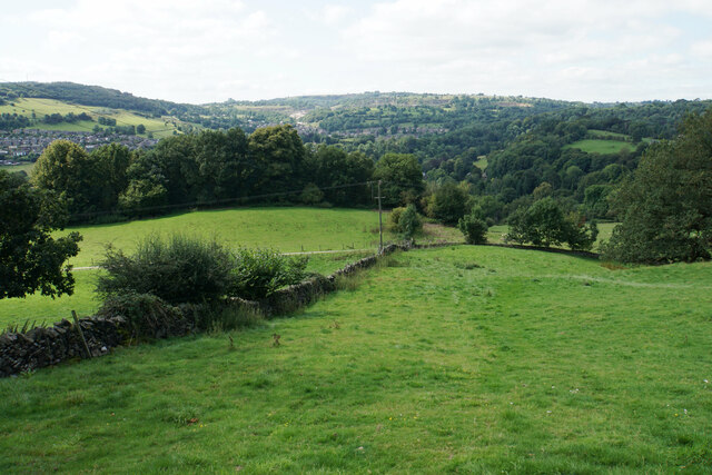
Hagg Wood Images
Images are sourced within 2km of 53.113731/-1.5587598 or Grid Reference SK2957. Thanks to Geograph Open Source API. All images are credited.


Hagg Wood is located at Grid Ref: SK2957 (Lat: 53.113731, Lng: -1.5587598)
Administrative County: Derbyshire
District: Derbyshire Dales
Police Authority: Derbyshire
What 3 Words
///object.resources.another. Near Cromford, Derbyshire
Related Wikis
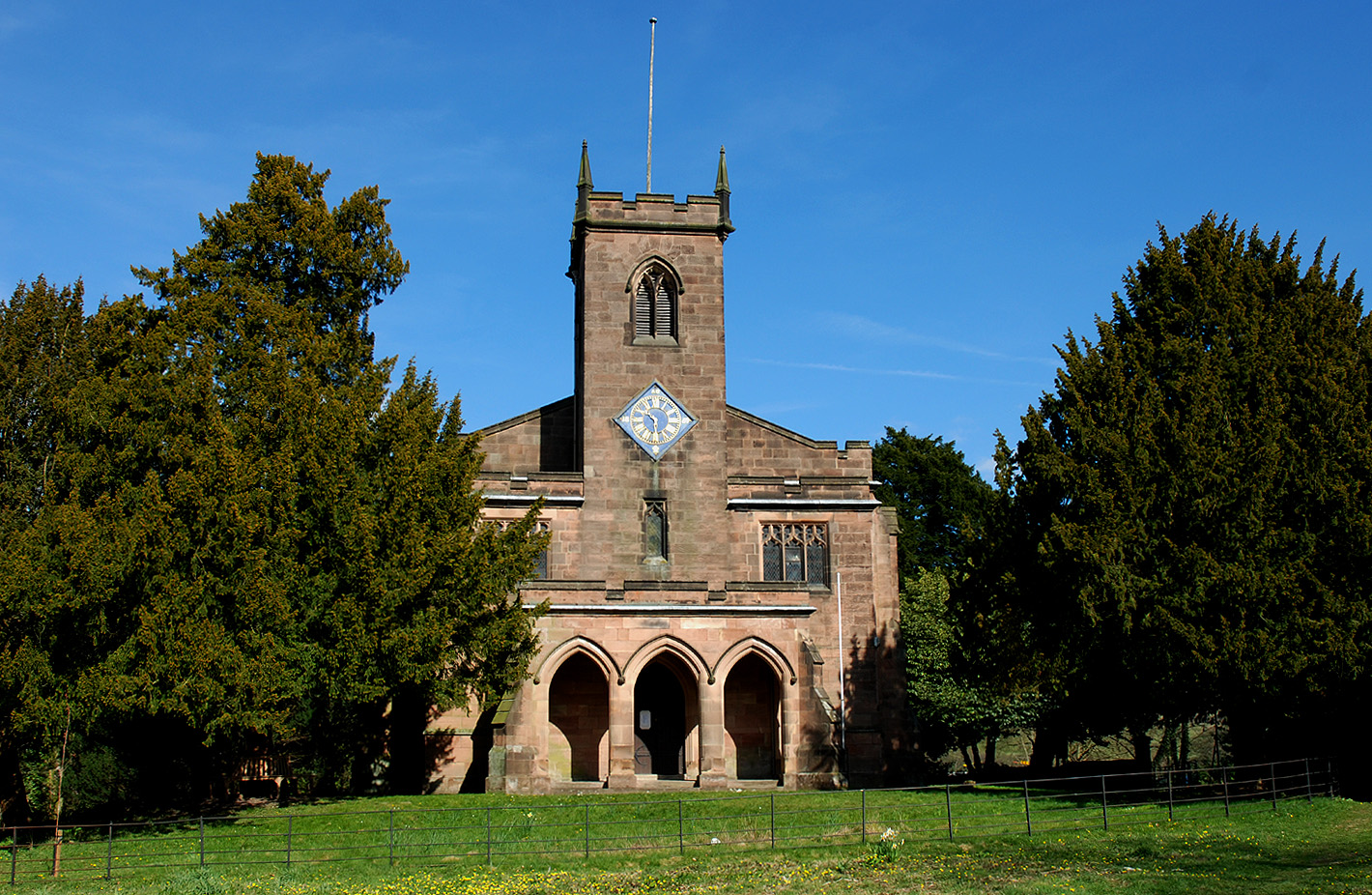
St Mary's Church, Cromford
St Mary's Church, Cromford, is a Grade I listed parish church in the Church of England in Cromford, Derbyshire. == History == The current building replaced...

Masson Mill
Sir Richard Arkwright's Masson Mill is a water-powered cotton spinning mill situated on the west bank of the River Derwent in Matlock Bath, Derbyshire...
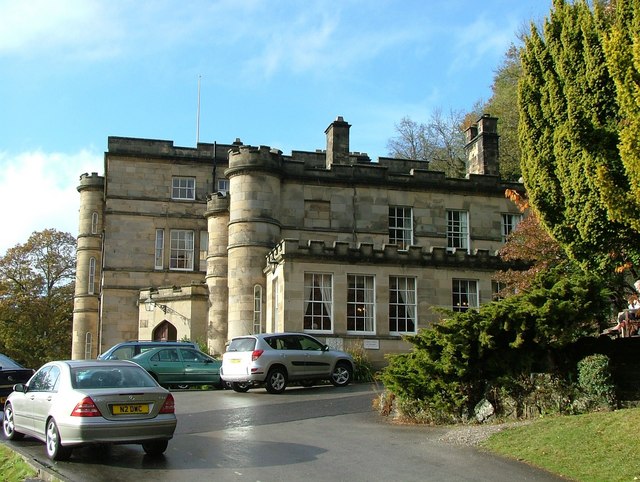
Willersley Castle
Willersley Castle is a late 18th-century country mansion above the River Derwent at Cromford, Derbyshire, outside Peak District National Park. The castle...
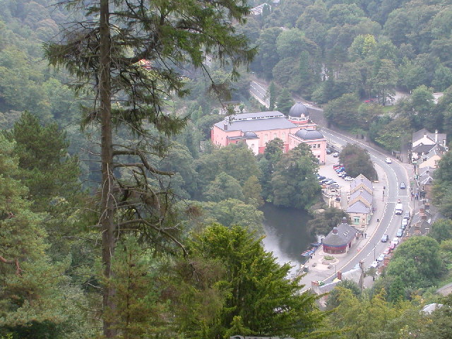
Matlock Bath
Matlock Bath is a village and civil parish in Derbyshire, England. It lies in the Derbyshire Dales, south of Matlock on the main A6 road, and approximately...
Nearby Amenities
Located within 500m of 53.113731,-1.5587598Have you been to Hagg Wood?
Leave your review of Hagg Wood below (or comments, questions and feedback).