Derril

Settlement in Devon Torridge

England

Derril

A3072 towards Killatree Cross A hay lorry is ahead.
A3072 towards Killatree Cross Credit: Julian P Guffogg

Derril, Devon is a small village located in the county of Devon, in the southwestern part of England. It is situated approximately 7 miles northeast of the city of Plymouth and falls within the administrative district of South Hams.

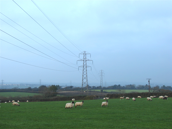
With a population of around 500 residents, Derril is known for its picturesque countryside and tranquil atmosphere. The village is nestled amidst rolling hills and lush green fields, offering stunning views of the surrounding landscape. The region's mild climate, influenced by its proximity to the English Channel, contributes to the area's natural beauty.

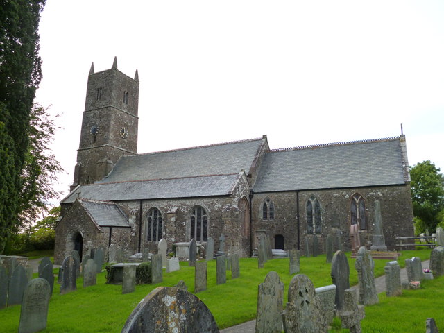
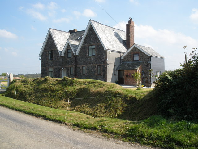
Derril is primarily a residential village, with a scattering of traditional houses and cottages that reflect its rich history. The village is steeped in heritage, boasting a number of historic buildings, such as the St. Mary's Church, which dates back to the 12th century. This church serves as a focal point for the community and hosts regular services and events.

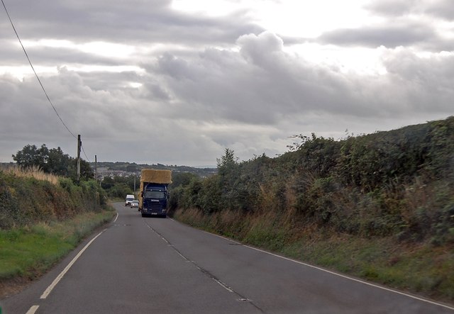
Although Derril is a relatively small village, it benefits from several amenities that cater to the needs of its residents. These include a local pub, a village hall, a primary school, and a small convenience store. The village is well-connected to surrounding areas by road, making it easily accessible for both residents and visitors.

Derril offers a peaceful and idyllic rural lifestyle, attracting those seeking a slower pace of life away from the hustle and bustle of larger towns and cities. Its natural beauty and sense of community make it an appealing location for those looking to immerse themselves in the charm of the English countryside.

If you have any feedback on the listing, please let us know in the comments section below.

Derril Images

Images are sourced within 2km of 50.805381/-4.404424 or Grid Reference SS3003. Thanks to Geograph Open Source API. All images are credited.

A3072 towards Killatree Cross A hay lorry is ahead.
A3072 towards Killatree Cross
A hay lorry is ahead.
A3072 crossroads at Burnard's House The right turn ahead leads to Bridgerule.
A3072 crossroads at Burnard's House
The right turn ahead leads to Bridgerule.
A3072 near Higher Weekstone Farm Just beyond is Noteworthy Camping and Caravanning.
The road is fairly narrow here.
A3072 near Higher Weekstone Farm
Just beyond is Noteworthy Camping and Caravanning. The road is fairly narrow here.
Pyworthy, St Swithun's church
Classic car at Noteworthy Farm The car was in fact for sale at quite a price. Of minor interest the car appeared in the same position in the Google Images taken June 2014.
Classic car at Noteworthy Farm
The car was in fact for sale at quite a price. Of minor interest the car appeared in the same position in the Google Images taken June 2014.
Driveway north of the A3072 View north east.
Driveway north of the A3072
View north east.
Holsworthy Golf Club View south southeast.
Holsworthy Golf Club
View south southeast.
Pylons and sheep Looking north-east.
Pylons and sheep
Looking north-east.
Band of sheep Looking due east.
Band of sheep
Looking due east.
Road junction to Derril Looking west on a damp autumn morning.
Road junction to Derril
Looking west on a damp autumn morning.
Derril Chapel Looking south.
Derril Chapel
Looking south.
Old farm building Looking west
Old farm building
Looking west
Bungalow east of Derril Looking west. The little dormer window appears to be a recent addition.
Bungalow east of Derril
Looking west. The little dormer window appears to be a recent addition.
Hopworthy Woods Activity Centre View southwest.
Hopworthy Woods Activity Centre
View southwest.
Driveway to Little Knowle Farm View south
Driveway to Little Knowle Farm
View south
The Molesworth Arms PH Looking west.
The Molesworth Arms PH
Looking west.
Pyworthy village and church View south.
Pyworthy village and church
View south.
Holladon Farm
Holladon Farm
Show me another place!

Derril is located at Grid Ref: SS3003 (Lat: 50.805381, Lng: -4.404424)

Administrative County: Devon

District: Torridge

Police Authority: Devon and Cornwall

What 3 Words

///blossom.contracting.joyously. Near Holsworthy, Devon

Related Wikis

Pyworthy

Pyworthy is a village and civil parish in the far west of Devon, England. It forms part of the local government district of Torridge. The parish lies to...

Pancrasweek

Pancrasweek is a village and civil parish and hamlet in the far west of Devon, England forming part of the local government district of Torridge and lying...

Holsworthy Community College

Holsworthy Community College is a co-educational secondary school located in Holsworthy in the English county of Devon.Previously a community school administered...

Holsworthy railway station

Holsworthy was a railway station in Devon, England, on the now-closed railway line from Okehampton to Bude. It opened in 1879 to serve the market town...

Bridgerule

Bridgerule (Cornish: Ponsrowald) is a village and civil parish in Devon, England, a mile from the border with Cornwall. The parish is divided by the River...

St Peter's and St Paul's Church, Holsworthy

St Peter's and St Paul's Church is a grade II* listed building and is the parish church of the small market town of Holsworthy, Devon, England. The present...

Holsworthy A.F.C.

Holsworthy Association Football Club is a football club based in Holsworthy, Devon, England. They play in the South West Peninsula League Premier Division...

Holsworthy

Holsworthy is a market town and civil parish in the Torridge district of Devon, England, 36 miles (58 km) west of Exeter. The River Deer, a tributary of...

Nearby Amenities

Located within 500m of 50.805381,-4.404424
Derril
Is In: Cornwall, England, UK
Not Name: Derrill
Place: hamlet
Lat/Long: 50.8051812/-4.4041495
Power: tower
Lat/Long: 50.8037239/-4.4075998
Power: tower
Lat/Long: 50.8071411/-4.4066986
Direction: SW
Generator Method: photovoltaic
Generator Output Electricity: yes
Generator Solar Modules: 15
Generator Source: solar
Generator Type: solar_photovoltaic_panel
Location: roof
Power: generator
Lat/Long: 50.8048465/-4.4039968
Direction: S
Generator Method: photovoltaic
Generator Output Electricity: yes
Generator Solar Modules: 16
Generator Source: solar
Generator Type: solar_photovoltaic_panel
Location: roof
Power: generator
Lat/Long: 50.8048914/-4.4049945
Direction: 260
Generator Method: photovoltaic
Generator Output Electricity: yes
Generator Solar Modules: 15
Generator Source: solar
Generator Type: solar_photovoltaic_panel
Location: roof
Power: generator
Lat/Long: 50.805294/-4.4053929
Direction: 165
Generator Method: photovoltaic
Generator Output Electricity: yes
Generator Solar Modules: 16
Generator Source: solar
Generator Type: solar_photovoltaic_panel
Location: roof
Power: generator
Lat/Long: 50.8054093/-4.4048638
Direction: SSE
Generator Method: photovoltaic
Generator Output Electricity: yes
Generator Solar Modules: 16
Generator Source: solar
Generator Type: solar_photovoltaic_panel
Location: roof
Power: generator
Lat/Long: 50.8054203/-4.4036843
Power: pole
Lat/Long: 50.8031497/-4.4064
Power: pole
Lat/Long: 50.8029005/-4.4083527
Power: pole
Lat/Long: 50.8027582/-4.4094121
Post Box
Collection Times: Mo-Fr 09:00; Sa 07:00
Operator: Royal Mail
Post Box Type: lamp
Ref: EX22 122D
Royal Cypher: EIIR
Royal Cypher Wikidata: Q33102113
Lat/Long: 50.8053584/-4.4044393
The data included in this document is from www.openstreetmap.org. The data is made available under ODbL.

Have you been to Derril?

Leave your review of Derril below (or comments, questions and feedback).