Truslers Wood

Wood, Forest in Hampshire New Forest

England

Truslers Wood

Sir Arthur Conan Doyle's Grave Sir Arthur Conan Doyle and his wife's grave All Saints Church
Sir Arthur Conan Doyle's Grave Credit: Shaun Ferguson

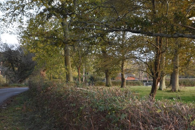
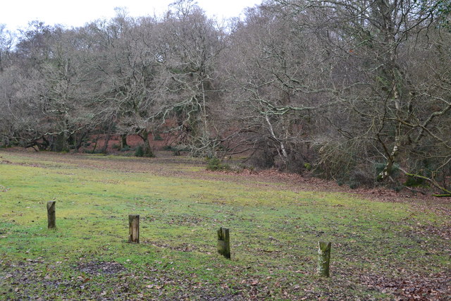
Truslers Wood is a picturesque forest located in the county of Hampshire, England. Spanning over 60 hectares, this woodland is renowned for its natural beauty and diverse ecosystem. Situated near the village of Burley, Truslers Wood is a popular destination for nature enthusiasts, hikers, and those seeking tranquility in the heart of the countryside.

The woodland is predominantly composed of oak and beech trees, which create a dense canopy that filters sunlight and creates a cool, shaded atmosphere below. The forest floor is covered with a rich carpet of moss, ferns, and wildflowers, providing a habitat for a variety of plant species. Bluebells, primroses, and wood anemones are just a few of the vibrant flowers that bloom in the spring, adding a burst of color to the woodland.

Truslers Wood is home to a diverse range of wildlife, making it a haven for animal lovers. Visitors may catch sight of deer, foxes, badgers, and numerous bird species, including woodpeckers and owls. The forest is also inhabited by a variety of insects, such as butterflies and dragonflies, further enhancing the area's biodiversity.

Several walking trails wind their way through Truslers Wood, allowing visitors to explore its natural wonders at their own pace. These paths provide an opportunity to immerse oneself in the peaceful ambiance of the forest, away from the hustle and bustle of everyday life.

Overall, Truslers Wood is a treasure trove of natural beauty, offering a serene and enchanting experience for those who venture into its depths.

If you have any feedback on the listing, please let us know in the comments section below.

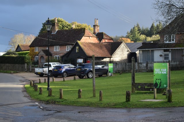
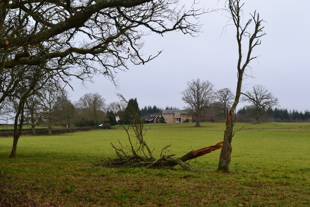
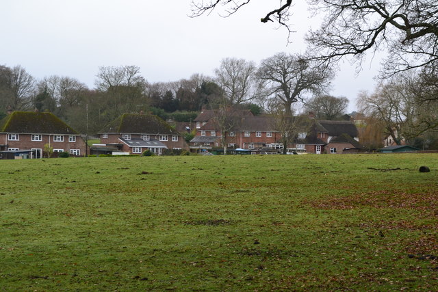
Truslers Wood Images

Images are sourced within 2km of 50.885165/-1.581281 or Grid Reference SU2909. Thanks to Geograph Open Source API. All images are credited.

Sir Arthur Conan Doyle's Grave Sir Arthur Conan Doyle and his wife's grave All Saints Church
Sir Arthur Conan Doyle's Grave
Sir Arthur Conan Doyle and his wife's grave All Saints Church
Junction on A337 southbound
Signage - A337 southbound
All Saints, Minstead
Minstead - Stocks This double-seater stocks on the village green at Minstead is located outside the "Trusty Servant" inn. 
<span class="nowrap"><a title="www.minstead.org.uk" rel="nofollow ugc noopener" href="http://www.minstead.org.uk">Link</a><img style="margin-left:2px;" alt="External link" title="External link - shift click to open in new window" src="https://s1.geograph.org.uk/img/external.png" width="10" height="10"/></span>
<span class="nowrap"><a title="www.thetrustyservant.co.uk" rel="nofollow ugc noopener" href="http://www.thetrustyservant.co.uk">Link</a><img style="margin-left:2px;" alt="External link" title="External link - shift click to open in new window" src="https://s1.geograph.org.uk/img/external.png" width="10" height="10"/></span>
Minstead - Stocks
This double-seater stocks on the village green at Minstead is located outside the "Trusty Servant" inn. LinkExternal link LinkExternal link
Minstead - All Saints Church The prominent brick tower was built in 1774 but the building does have some 13th century fragments plus a Norman font.
<span class="nowrap"><a title="www.minstead.org.uk" rel="nofollow ugc noopener" href="http://www.minstead.org.uk">Link</a><img style="margin-left:2px;" alt="External link" title="External link - shift click to open in new window" src="https://s1.geograph.org.uk/img/external.png" width="10" height="10"/></span>
Minstead - All Saints Church
The prominent brick tower was built in 1774 but the building does have some 13th century fragments plus a Norman font. LinkExternal link
Minstead - Parish Church The prominent brick tower of All Saints was built in 1774 but the building does have some 13th century fragments plus a Norman font.
<span class="nowrap"><a title="www.minstead.org.uk" rel="nofollow ugc noopener" href="http://www.minstead.org.uk">Link</a><img style="margin-left:2px;" alt="External link" title="External link - shift click to open in new window" src="https://s1.geograph.org.uk/img/external.png" width="10" height="10"/></span>
Minstead - Parish Church
The prominent brick tower of All Saints was built in 1774 but the building does have some 13th century fragments plus a Norman font. LinkExternal link
Minstead - Pulpit Inside the historic All Saints Church is a rare 3-decker 17th century pulpit - for sermons, preaching and for amens. In front of it is a Norman font which had been hidden from puritans.
<span class="nowrap"><a title="www.minstead.org.uk" rel="nofollow ugc noopener" href="http://www.minstead.org.uk">Link</a><img style="margin-left:2px;" alt="External link" title="External link - shift click to open in new window" src="https://s1.geograph.org.uk/img/external.png" width="10" height="10"/></span>
Minstead - Pulpit
Inside the historic All Saints Church is a rare 3-decker 17th century pulpit - for sermons, preaching and for amens. In front of it is a Norman font which had been hidden from puritans. LinkExternal link
Minstead - Font Norman carved font which had been unearthed in Victorian times after being hidden away from puritan disapproval.
<span class="nowrap"><a title="www.minstead.org.uk" rel="nofollow ugc noopener" href="http://www.minstead.org.uk">Link</a><img style="margin-left:2px;" alt="External link" title="External link - shift click to open in new window" src="https://s1.geograph.org.uk/img/external.png" width="10" height="10"/></span>
Minstead - Font
Norman carved font which had been unearthed in Victorian times after being hidden away from puritan disapproval. LinkExternal link
Last of the light on trees beside Lyndhurst Road
Sloping field below the church at Minstead
All Saints' Church, Minstead
November afternoon sunlight, Minstead The prominent sunlit house on the right is The Old Rectory.
November afternoon sunlight, Minstead
The prominent sunlit house on the right is The Old Rectory.
Field sloping towards Peter's Hold Farm From the footpath below Minstead church.
Field sloping towards Peter's Hold Farm
From the footpath below Minstead church.
Minstead village centre The scene outside The Trusty Servant.
Minstead village centre
The scene outside The Trusty Servant.
Beside the car park at Football Green
View across field to William's Hill
Houses at Minstead seen across field
Show me another place!

Truslers Wood is located at Grid Ref: SU2909 (Lat: 50.885165, Lng: -1.581281)

Administrative County: Hampshire

District: New Forest

Police Authority: Hampshire

What 3 Words

///scan.rags.hill. Near Lyndhurst, Hampshire

Related Wikis

Emery Down

Emery Down is a small village in the New Forest National Park in Hampshire, England. Its nearest town is Lyndhurst, which lies approximately 1.4 miles...

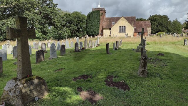
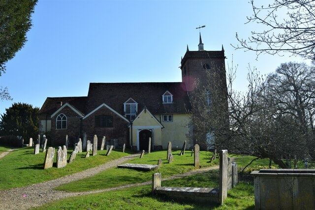
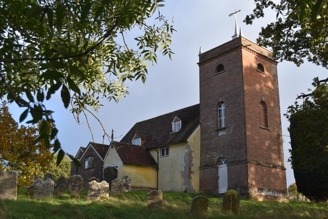
Christ Church, Emery Down

Christ Church is a Church of England church in Emery Down, Hampshire, England. It was designed by William Butterfield and constructed in 1863–64. The church...

Glasshayes

Glasshayes House is a historic country house in Lyndhurst, in The New Forest, Hampshire. Used in the 20th century as the Grand Hotel, then the Lyndhurst...

Lyndhurst, Hampshire

Lyndhurst is a large village and civil parish situated in the New Forest National Park in Hampshire, England, about nine miles (14 km) south-west of Southampton...

Minstead Lodge

Minstead Lodge in Hampshire is a building of historical significance built in about 1830 and is Grade II listed on the English Heritage Register. Today...

Cadnam

Cadnam is a village situated in Hampshire, England, within the boundaries of the New Forest National Park. The village has existed since the medieval period...

Bank, Hampshire

Bank is a village in the English county of Hampshire. The settlement is within the civil parish of Lyndhurst in the New Forest, and is located approximately...

Minstead

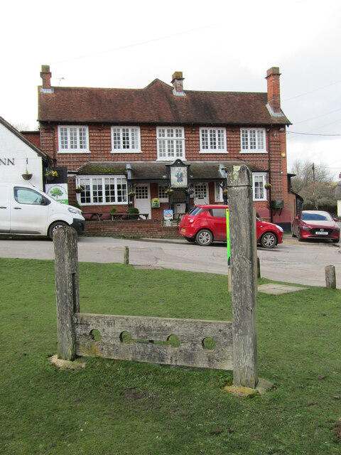
Minstead is a small village and civil parish in the New Forest, Hampshire, about 2 miles (3.2 km) north of Lyndhurst. There is a shop and a pub, the Trusty...

Nearby Amenities

Located within 500m of 50.885165,-1.581281
Parking
Type: layby
Lat/Long: 50.8847265/-1.5777649
Barrier: cattle_grid
Lat/Long: 50.8889842/-1.5792153
Bus Stop
Emery Down Kennels
Bus: yes
Naptan AtcoCode: 1900HA080883
Naptan Bearing: S
Naptan CommonName: Emery Down Kennels
Naptan NaptanCode: hamajagd
Naptan Street: A337
Naptan Verified: no
Source: naptan_import
Lat/Long: 50.8891572/-1.5783277
Bus Stop
Emery Down Kennels
Bus: yes
Naptan AtcoCode: 1900HA080884
Naptan Bearing: N
Naptan CommonName: Emery Down Kennels
Naptan NaptanCode: hamajadt
Naptan Street: A337
Naptan Verified: no
Source: naptan_import
Lat/Long: 50.8891575/-1.5784273
Post Box
Collection Plate: CP7
Collection Times: Mo-Fr 16:00; Sa 09:00
Operator: Royal Mail
Operator Wikidata: Q638098
Post Box Type: lamp
Ref: SO43 10
Royal Cypher: EIIR
Royal Cypher Wikidata: Q33102113
Lat/Long: 50.8890038/-1.5790647
Waterway: weir
Lat/Long: 50.8893081/-1.5822478
Truslers Wood
Place: locality
Lat/Long: 50.8864949/-1.5805961
Foldsgate Hill
Place: locality
Lat/Long: 50.8830092/-1.5800419
The data included in this document is from www.openstreetmap.org. The data is made available under ODbL.

Have you been to Truslers Wood?

Leave your review of Truslers Wood below (or comments, questions and feedback).