Banks Wood

Wood, Forest in Yorkshire Harrogate

England

Banks Wood

South Stainley - Manor Farm
South Stainley - Manor Farm Credit: Colin Park

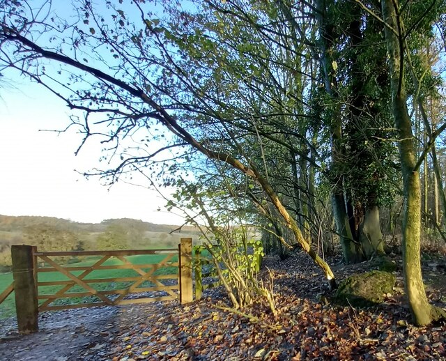
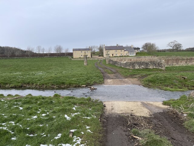
Banks Wood, located in the county of Yorkshire, England, is a stunning woodland area that spans over a vast expanse of approximately 100 acres. Situated in the picturesque landscape of the North York Moors National Park, this ancient forest offers visitors a unique and immersive experience in nature.

The wood is predominantly composed of a variety of deciduous trees, including oak, ash, birch, and beech, which create a beautiful tapestry of colors throughout the seasons. The rich flora and fauna found in Banks Wood make it an ideal habitat for a diverse range of wildlife. Visitors may come across birds such as woodpeckers, owls, and various songbirds, as well as mammals like deer, foxes, and rabbits.

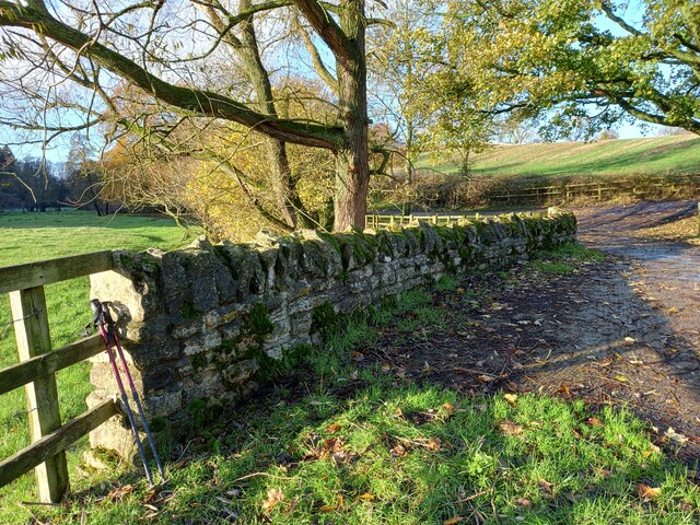
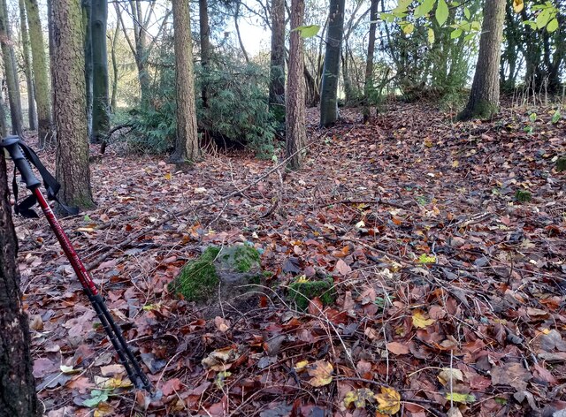
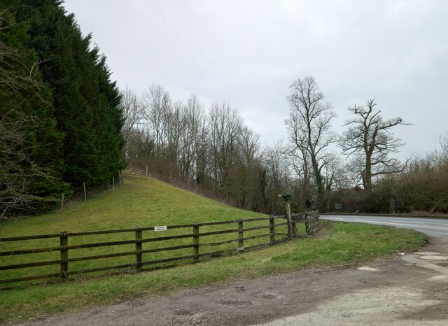
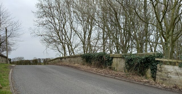
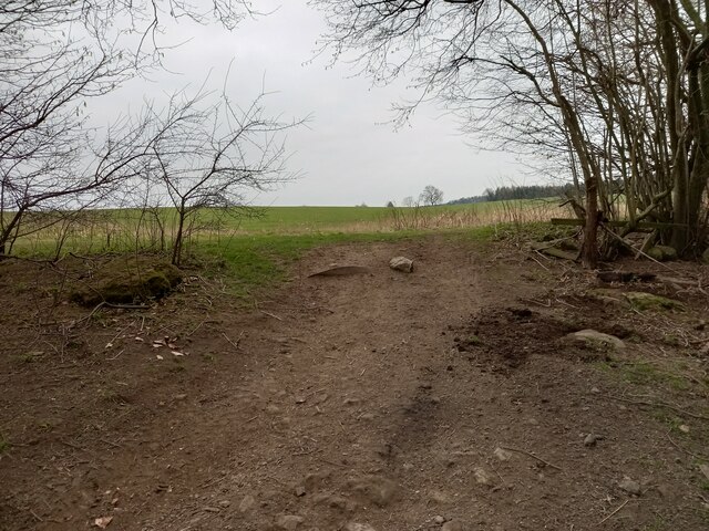
Traversing through Banks Wood, one can explore a network of well-maintained footpaths and trails, which provide access to the heart of the forest. The paths wind through thick undergrowth, beneath the canopy of trees, and alongside babbling brooks, offering a truly enchanting experience. This tranquil environment makes it a popular destination for nature enthusiasts, hikers, and photographers seeking to capture the beauty of the wood.

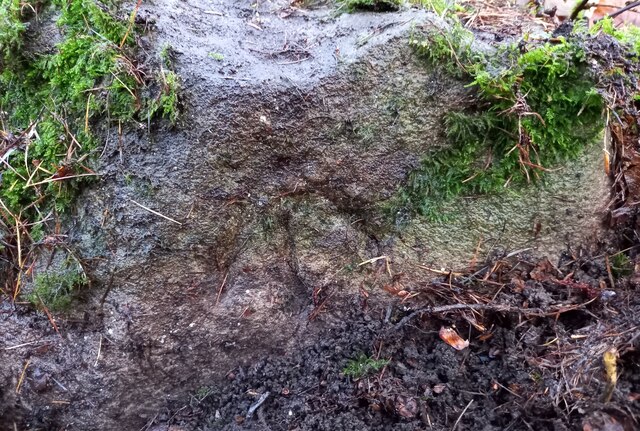
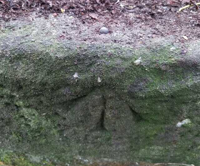
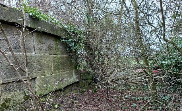
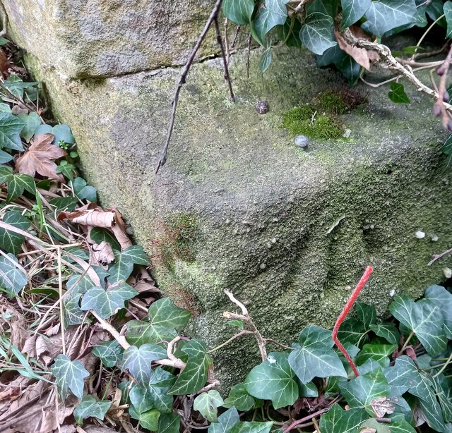
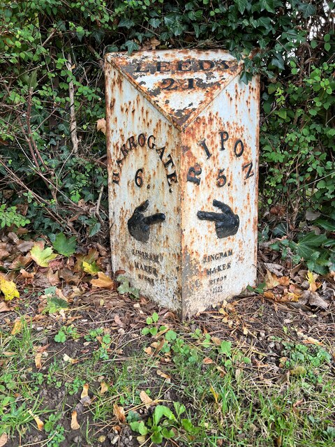
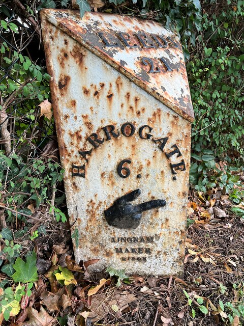
Banks Wood also boasts a rich history, with evidence of human habitation dating back to the Neolithic era. Ancient burial mounds and remnants of prehistoric settlements can be found within the woodland, adding an intriguing layer of historical significance to the area.

With its natural beauty, diverse wildlife, and historical importance, Banks Wood is a true gem within the North York Moors National Park, attracting visitors from near and far who seek solace in its peaceful embrace.

If you have any feedback on the listing, please let us know in the comments section below.
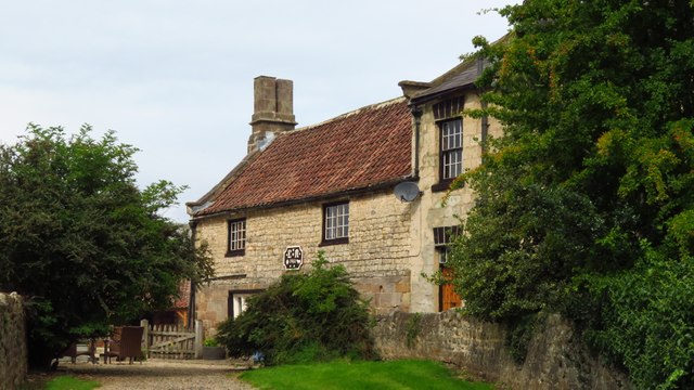
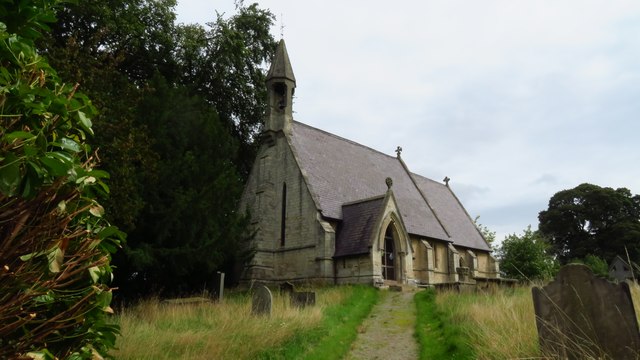
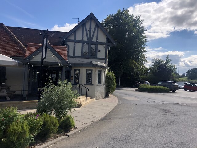
Banks Wood Images

Images are sourced within 2km of 54.056056/-1.5501696 or Grid Reference SE2962. Thanks to Geograph Open Source API. All images are credited.

South Stainley - Manor Farm
South Stainley - St Wilfrid's Church
The Inn, South Stainley Restaurant and accommodation, six miles south of Ripon
The Inn, South Stainley
Restaurant and accommodation, six miles south of Ripon
South Stainley, cliff north of bridleway According to the OS benchmark database there is a benchmark cut into the cliff on the north side of the track. The surrounds is deep in fallen leaves and years of mulch, and it is difficult digging sufficiently deep to find any marks. Nothing was found.
South Stainley, cliff north of bridleway
According to the OS benchmark database there is a benchmark cut into the cliff on the north side of the track. The surrounds is deep in fallen leaves and years of mulch, and it is difficult digging sufficiently deep to find any marks. Nothing was found.
South Stainley, track and bridge According to the OS benchmark database there is a benchmark on the track side wall on the west side of the track. Both the bridge and the wall have been renewed and reshaped over the recent years. The wall where the benchmark was has gone.
South Stainley, track and bridge
According to the OS benchmark database there is a benchmark on the track side wall on the west side of the track. Both the bridge and the wall have been renewed and reshaped over the recent years. The wall where the benchmark was has gone.
South Stainley, old track to Stainley Mill According to the OS benchmark database there is a rivet benchmark cut into a rock on the west of the old track. Only 1 rock found and despite trying to clear the moss no cutmark was found.
South Stainley, old track to Stainley Mill
According to the OS benchmark database there is a rivet benchmark cut into a rock on the west of the old track. Only 1 rock found and despite trying to clear the moss no cutmark was found.
South Stainley, old track to Stainley Mill The pivot benchmark is cut into a rock within a wooded area to the north of the old track. The area is known as Luptons Bank.
South Stainley, old track to Stainley Mill
The pivot benchmark is cut into a rock within a wooded area to the north of the old track. The area is known as Luptons Bank.
South Stainley, Luptons Bank There is a pivot benchmark cut into the rock within the wooded area to the north of the old track and known as Luptons Bank.
South Stainley, Luptons Bank
There is a pivot benchmark cut into the rock within the wooded area to the north of the old track and known as Luptons Bank.
Stainley Hall Farm Ford This ford on the Stainley Beck is found in the entrance to Stainley Hall.
Stainley Hall Farm Ford
This ford on the Stainley Beck is found in the entrance to Stainley Hall.
South Stainley, disused railway bridge The rivet benchmark is cut into the southern parapet on the west side of the old line, and the cutmark faces north.
South Stainley, disused railway bridge
The rivet benchmark is cut into the southern parapet on the west side of the old line, and the cutmark faces north.
South Stainley, disused railway bridge There is a rivet benchmark cut into the southern parapet on the west side of the old line. The cutmark is cut into the lower stonework at the far end of the bridge.
South Stainley, disused railway bridge
There is a rivet benchmark cut into the southern parapet on the west side of the old line. The cutmark is cut into the lower stonework at the far end of the bridge.
South Stainley, embankment According to the OS benchmark database there was a benchmark cut into the wall of the railway bridge on the east side of the A61. All stonework has been removed and a grassy bank remains.
South Stainley, embankment
According to the OS benchmark database there was a benchmark cut into the wall of the railway bridge on the east side of the A61. All stonework has been removed and a grassy bank remains.
South Stainley, Green Lane railway bridge The rivet benchmark is cut into the west end of the southern parapet of the bridge over the disused railway.
South Stainley, Green Lane railway bridge
The rivet benchmark is cut into the west end of the southern parapet of the bridge over the disused railway.
South Stainley, Green Lane railway bridge There is a rivet benchmark cut into the west end of the southern parapet of the bridge over the disused railway line, Harrogate/Ripon.
South Stainley, Green Lane railway bridge
There is a rivet benchmark cut into the west end of the southern parapet of the bridge over the disused railway line, Harrogate/Ripon.
Brearton, Susacres According to the OS benchmark database there was a benchmark cut into the property that was previously at this location. It is likely the benchmark has been destroyed.
Brearton, Susacres
According to the OS benchmark database there was a benchmark cut into the property that was previously at this location. It is likely the benchmark has been destroyed.
Brearton, Raikes Lane According to the OS benchmark database there is a benchmark cut into a boulder at this location. 2nd visit and still not found on the old track to Stainley Mill.
Brearton, Raikes Lane
According to the OS benchmark database there is a benchmark cut into a boulder at this location. 2nd visit and still not found on the old track to Stainley Mill.
Milestone - A61 Ripon Road - South Stainley (1) Milepost at the side of the A61 Ripon Road at South Stainley. It is situated just to the North of the former Red Lion Inn.
Ingram Casting:
Inscriptions read:
Leeds 21
Harrogate 6 / Ingram Maker Ripon / 1322 (perhaps 1822)?
Ripon 5 / Ingram Maker Ripon
Links to other views of this Milepost can be seen below.
<a href="https://www.geograph.org.uk/photo/7620035">SE3063 : Milestone - A61 Ripon Road - South Stainley (3)</a>
<a href="https://www.geograph.org.uk/photo/7620034">SE3063 : Milestone - A61 Ripon Road - South Stainley (2)</a>
Milestone - A61 Ripon Road - South Stainley (1)
Milepost at the side of the A61 Ripon Road at South Stainley. It is situated just to the North of the former Red Lion Inn. Ingram Casting: Inscriptions read: Leeds 21 Harrogate 6 / Ingram Maker Ripon / 1322 (perhaps 1822)? Ripon 5 / Ingram Maker Ripon Links to other views of this Milepost can be seen below. SE3063 : Milestone - A61 Ripon Road - South Stainley (3) SE3063 : Milestone - A61 Ripon Road - South Stainley (2)
Milestone - A61 Ripon Road - South Stainley (2) Milepost at the side of the A61 Ripon Road at South Stainley. It is situated just to the North of the former Red Lion Inn.
Ingram Casting:
Inscriptions read:
Leeds 21
Harrogate 6 / Ingram Maker Ripon
Links to other views of this Milepost can be seen below.
<a href="https://www.geograph.org.uk/photo/7620035">SE3063 : Milestone - A61 Ripon Road - South Stainley (3)</a>
<a href="https://www.geograph.org.uk/photo/7620029">SE3063 : Milestone - A61 Ripon Road - South Stainley (1)</a>
Milestone - A61 Ripon Road - South Stainley (2)
Milepost at the side of the A61 Ripon Road at South Stainley. It is situated just to the North of the former Red Lion Inn. Ingram Casting: Inscriptions read: Leeds 21 Harrogate 6 / Ingram Maker Ripon Links to other views of this Milepost can be seen below. SE3063 : Milestone - A61 Ripon Road - South Stainley (3) SE3063 : Milestone - A61 Ripon Road - South Stainley (1)
Show me another place!

Banks Wood is located at Grid Ref: SE2962 (Lat: 54.056056, Lng: -1.5501696)

Division: West Riding

Administrative County: North Yorkshire

District: Harrogate

Police Authority: North Yorkshire

What 3 Words

///increases.elders.aimless. Near Harrogate, North Yorkshire

Nearby Locations

Banks Wood

Related Wikis

Nidd Hall

Nidd Hall was a 19th-century country house, now a hotel, in the village of Nidd, North Yorkshire, England. It is a Grade II listed building. It is constructed...

Ripley Town Hall, North Yorkshire

Ripley Town Hall is a municipal building in Main Street, Ripley, North Yorkshire, England. The structure, which is used as an events venue and as a post...

South Stainley

South Stainley is a small village in the Harrogate District, in the county of North Yorkshire, England. Nearby settlements include the city of Ripon, the...

Ripley, North Yorkshire

Ripley is a town and civil parish in North Yorkshire in England, a few miles north of Harrogate on the A61 road towards Ripon. The town name derives from...

Ripley Castle

Ripley Castle is a Grade I listed 14th-century country house in Ripley, North Yorkshire, England, 3 miles (4.8 km) north of Harrogate.The house is built...

Nidd Bridge railway station

Nidd Bridge railway station served the village of Nidd, North Yorkshire, England from 1848 to 1964 on the Leeds-Northallerton Railway. == History == The...

Wormald Green railway station

Wormald Green railway station served the village of Wormald Green, Harrogate, England from 1848 to 1964 on the Leeds-Northallerton Railway. == History... ==

Nidd

Nidd is a small village and civil parish in the Harrogate district of North Yorkshire, England. The population of the village taken at the 2011 census...

Nearby Amenities

Located within 500m of 54.056056,-1.5501696
Power: tower
Lat/Long: 54.057967/-1.5519331
Power: tower
Lat/Long: 54.0527182/-1.5522906
Power: tower
Lat/Long: 54.0554891/-1.5521527
Barrier: stile
Lat/Long: 54.0546281/-1.5462851
The data included in this document is from www.openstreetmap.org. The data is made available under ODbL.

Have you been to Banks Wood?

Leave your review of Banks Wood below (or comments, questions and feedback).