Brown Cow Wood
Wood, Forest in Yorkshire Harrogate
England
Brown Cow Wood
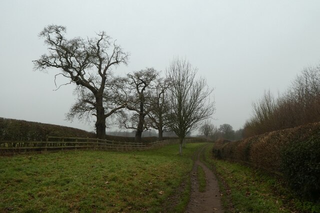
Brown Cow Wood is a picturesque woodland located in the county of Yorkshire, England. Situated in the heart of the Yorkshire Dales National Park, this forest is renowned for its natural beauty and diverse range of flora and fauna.
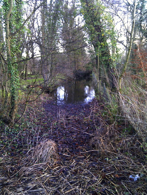
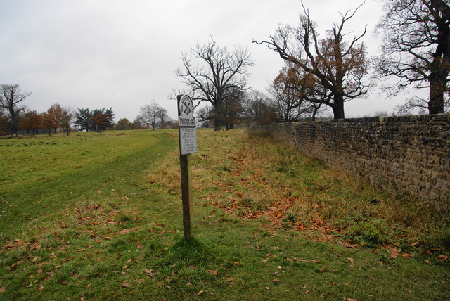
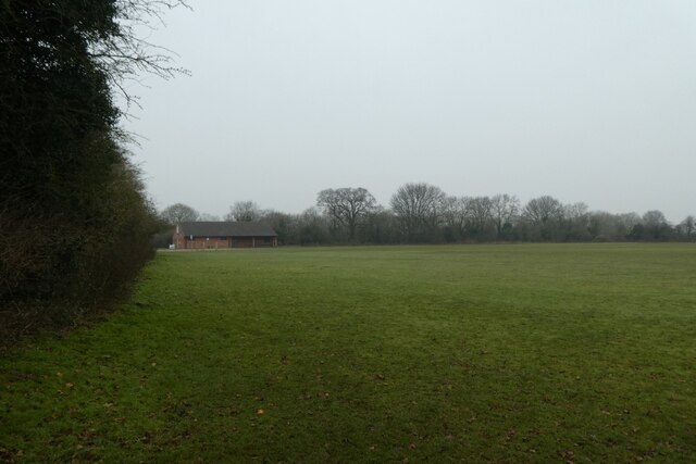
Covering an area of approximately 500 acres, Brown Cow Wood is characterized by its dense canopy of ancient oak trees, which provide a habitat for a variety of wildlife species. The forest floor is adorned with a carpet of bluebells during spring, creating a striking spectacle for visitors.
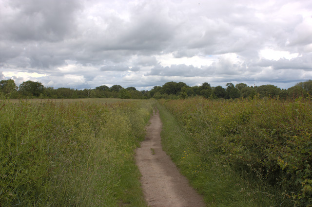
This woodland is a popular destination for nature enthusiasts, hikers, and photographers, who are drawn to its tranquil atmosphere and breathtaking scenery. The forest offers a network of well-maintained walking trails, allowing visitors to explore its hidden gems and discover its rich biodiversity.
In addition to its natural wonders, Brown Cow Wood boasts a rich history. The ancient oaks have witnessed centuries of human activity, and remnants of old settlements, including stone walls and ruins, can still be found within the woodland. These historical features add an extra layer of intrigue to the forest, capturing the imagination of those who visit.
The Yorkshire Dales National Park Authority manages Brown Cow Wood, ensuring its preservation and protecting its diverse ecosystem. Visitors are encouraged to respect the forest's natural environment and follow the designated paths to minimize any impact on the delicate ecosystem.
Overall, Brown Cow Wood is a hidden gem in the Yorkshire Dales, offering visitors an opportunity to immerse themselves in nature, explore its history, and experience the tranquility of this enchanting forest.
If you have any feedback on the listing, please let us know in the comments section below.
Brown Cow Wood Images
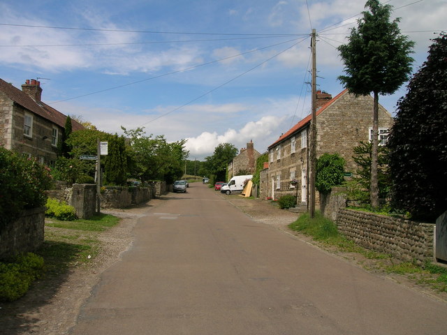
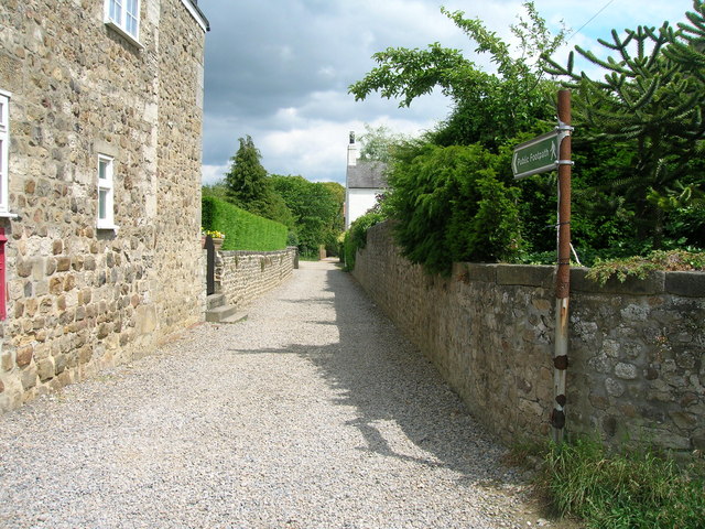
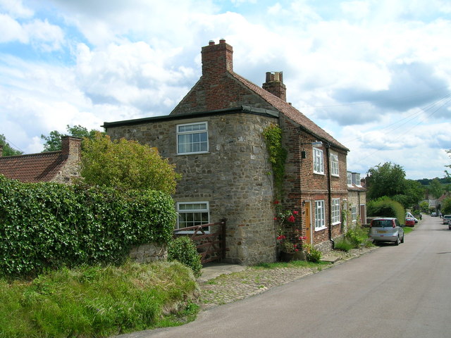
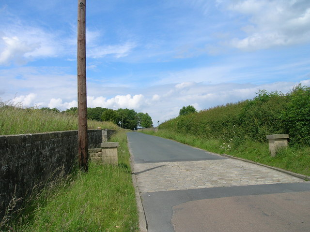
Images are sourced within 2km of 54.115292/-1.5521907 or Grid Reference SE2968. Thanks to Geograph Open Source API. All images are credited.


Brown Cow Wood is located at Grid Ref: SE2968 (Lat: 54.115292, Lng: -1.5521907)
Division: West Riding
Administrative County: North Yorkshire
District: Harrogate
Police Authority: North Yorkshire
What 3 Words
///melon.when.otherwise. Near Ripon, North Yorkshire
Nearby Locations
Related Wikis

Studley Roger
Studley Roger is a small village and civil parish in the Harrogate district of North Yorkshire, England, and it is about 1 mile west of the historical...
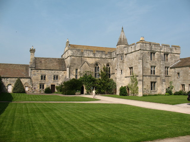
Markenfield Hall
Markenfield Hall is an early 14th-century moated manor house about 3 miles (5 km) south of Ripon, North Yorkshire, England. It is in the civil parish of...
Quarry Moor
Quarry Moor is a Site of Special Scientific Interest, or SSSI, at the south edge of Ripon, North Yorkshire, England, and adjacent to the A61 road. It contains...
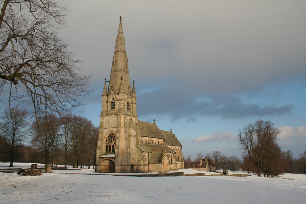
St Mary's, Studley Royal
The Church of St Mary, Studley Royal, is a Victorian Gothic Revival church built in the Early English style by William Burges. It is located in the grounds...
Nearby Amenities
Located within 500m of 54.115292,-1.5521907Have you been to Brown Cow Wood?
Leave your review of Brown Cow Wood below (or comments, questions and feedback).