Squab Copse

Wood, Forest in Wiltshire Test Valley

England

Squab Copse

Ford and footbridge in Foxes Lane River Blackwater just above the 2 feet mark on the depth gauge.
Ford and footbridge in Foxes Lane Credit: David Martin

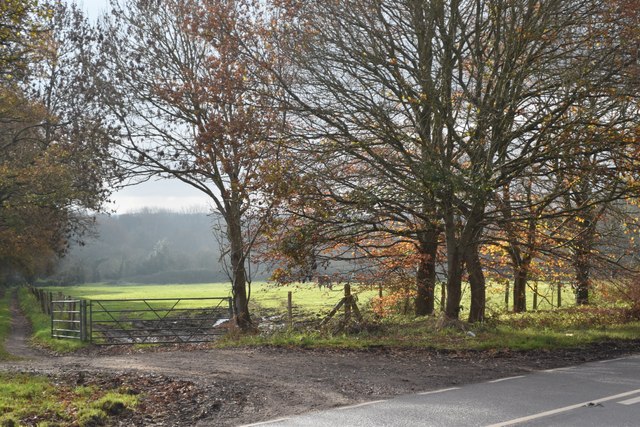
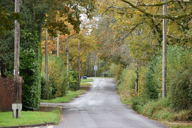
Squab Copse is a picturesque woodland area located in the county of Wiltshire, England. Situated near the village of Squab, this copse encompasses an area of approximately 50 acres and is known for its tranquil and natural surroundings.

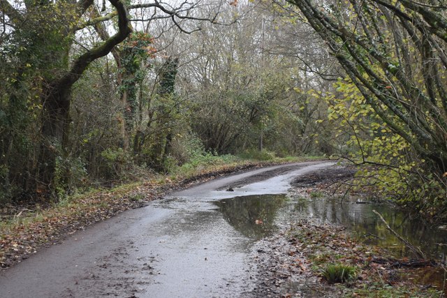
The copse is predominantly composed of oak and beech trees, creating a dense canopy that provides shade and shelter to a variety of flora and fauna. The forest floor is covered in a thick layer of fallen leaves and moss, creating a soft and inviting carpet for visitors to explore.

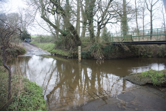
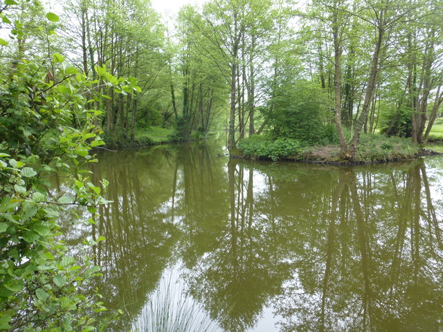
Squab Copse is home to a diverse range of wildlife, including deer, foxes, badgers, and numerous species of birds. Birdwatchers frequent the area to catch glimpses of rare species such as the woodpecker and the tawny owl. The copse also houses a rich collection of plants and wildflowers, with bluebells and primroses adding vibrant colors to the forest during springtime.

Tranquil walking trails wind through the copse, allowing visitors to immerse themselves in the natural beauty of the woodland. These paths lead to a small clearing where visitors can relax and enjoy a picnic while listening to the soothing sounds of nature.

Squab Copse is a popular destination for nature enthusiasts, hikers, and those seeking a peaceful escape from the hustle and bustle of everyday life. Its serene atmosphere, diverse wildlife, and lush vegetation make it a truly enchanting woodland that captivates the hearts of all who visit.

If you have any feedback on the listing, please let us know in the comments section below.
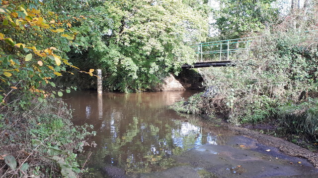
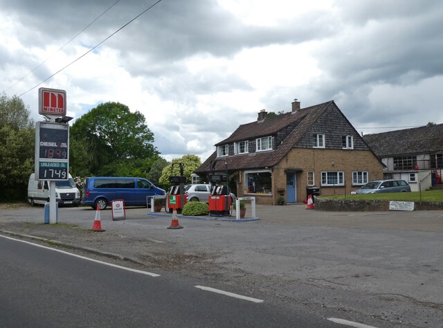
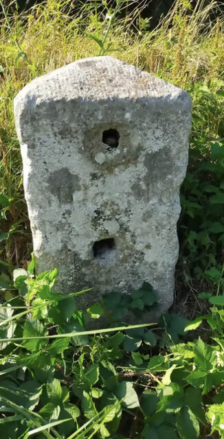
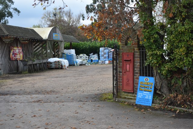
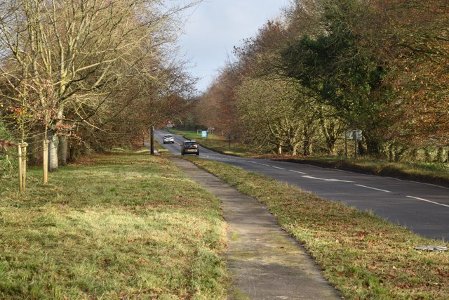
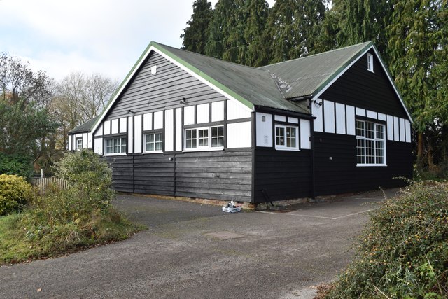
Squab Copse Images

Images are sourced within 2km of 50.989555/-1.5829362 or Grid Reference SU2921. Thanks to Geograph Open Source API. All images are credited.

Ford and footbridge in Foxes Lane River Blackwater just above the 2 feet mark on the depth gauge.
Ford and footbridge in Foxes Lane
River Blackwater just above the 2 feet mark on the depth gauge.
Glebe Garage, Sheffield English
Old Milestone by the A27, east of Glebe Farm, Sherfield English parish Stone post (plate lost) by the A27, in parish of SHERFIELD ENGLISH (TEST VALLEY District), East of Glebe Farm, junction with Branches Lane, on the verge, on North side of road. Romsey tombstone marker, erected by the Whiteparish, Romsey & Southampton turnpike trust in the 19th century.

Part inscription reads:-
MILES TO
ROMSEY
Original Inscription once read:-
(Salisbury)
(11)
(Romsey)
(4)

Milestone Society National ID: HA_ROSA04.
Old Milestone by the A27, east of Glebe Farm, Sherfield English parish
Stone post (plate lost) by the A27, in parish of SHERFIELD ENGLISH (TEST VALLEY District), East of Glebe Farm, junction with Branches Lane, on the verge, on North side of road. Romsey tombstone marker, erected by the Whiteparish, Romsey & Southampton turnpike trust in the 19th century. Part inscription reads:- MILES TO ROMSEY Original Inscription once read:- (Salisbury) (11) (Romsey) (4) Milestone Society National ID: HA_ROSA04.
Steplake Lane
Steplake Lane
Wellow Wood Chapel Formerly <a href="https://www.geograph.org.uk/photo/412899">SU2821 : Wellow Wood Methodist Church</a>, the chapel's Facebook page now describes it as an independent church.
Wellow Wood Chapel
Formerly SU2821 : Wellow Wood Methodist Church, the chapel's Facebook page now describes it as an independent church.
Overflowing ditch in Wellow Drove
Steplake Road Not to be confused with the quite separate, but local, <a href="https://www.geograph.org.uk/photo/7662754">SU2822 : Steplake Lane</a>.
Steplake Road
Not to be confused with the quite separate, but local, SU2822 : Steplake Lane.
Gilbert's Nursery and Tea Room
Beside the A27 at Sherfield English
Sherfield English Village Hall
Patch of sunlight on a misty day at Sherfield English This is the field just across the A27 from <a href="https://www.geograph.org.uk/photo/7662780">SU2922 : Sherfield English Village Hall</a>.
Patch of sunlight on a misty day at Sherfield English
This is the field just across the A27 from SU2922 : Sherfield English Village Hall.
Maury's Lane, looking towards the A36
West Wellow Ford This ford on the River Blackwater is found on Foxes Lane near West Wellow. A video of the ford can be seen at:
<span class="nowrap"><a title="https://youtu.be/wYqMU-7Vmbs" rel="nofollow ugc noopener" href="https://youtu.be/wYqMU-7Vmbs">Link</a><img style="margin-left:2px;" alt="External link" title="External link - shift click to open in new window" src="https://s1.geograph.org.uk/img/external.png" width="10" height="10"/></span>
West Wellow Ford
This ford on the River Blackwater is found on Foxes Lane near West Wellow. A video of the ford can be seen at: LinkExternal link
Ordnance Survey Flush Bracket (S9673) This OS cut mark can be found on the SE face of St Leonard's Church. it marks a point 44.709m above mean sea level.
Ordnance Survey Flush Bracket (S9673)
This OS cut mark can be found on the SE face of St Leonard's Church. it marks a point 44.709m above mean sea level.
Pond near Sherfield English One of a number if small ponds in this area.
Pond near Sherfield English
One of a number if small ponds in this area.
Hatchet inn Sherfield English
Sunlit track near Sherfield English
Red and green ivy leaves
Show me another place!

Squab Copse is located at Grid Ref: SU2921 (Lat: 50.989555, Lng: -1.5829362)

Administrative County: Hampshire

District: Test Valley

Police Authority: Hampshire

What 3 Words

///variances.local.climbing. Near West Wellow, Hampshire

Related Wikis

Sherfield English

Sherfield English is a small village and civil parish in the Test Valley borough of Hampshire, England. It is located on the A27 road, around 4 miles...

Wellow, Hampshire

Wellow is a village and civil parish in Hampshire, England that falls within the Test Valley district. The village lies just outside the New Forest, across...

Plaitford

Plaitford is a small village and former civil parish, now in the parish of Melchet Park and Plaitford, in the Test Valley district of Hampshire, England...

Embley, Hampshire

Embley is a small village in the Test Valley district of Hampshire, England in the United Kingdom. Its nearest town is Romsey, which lies approximately...
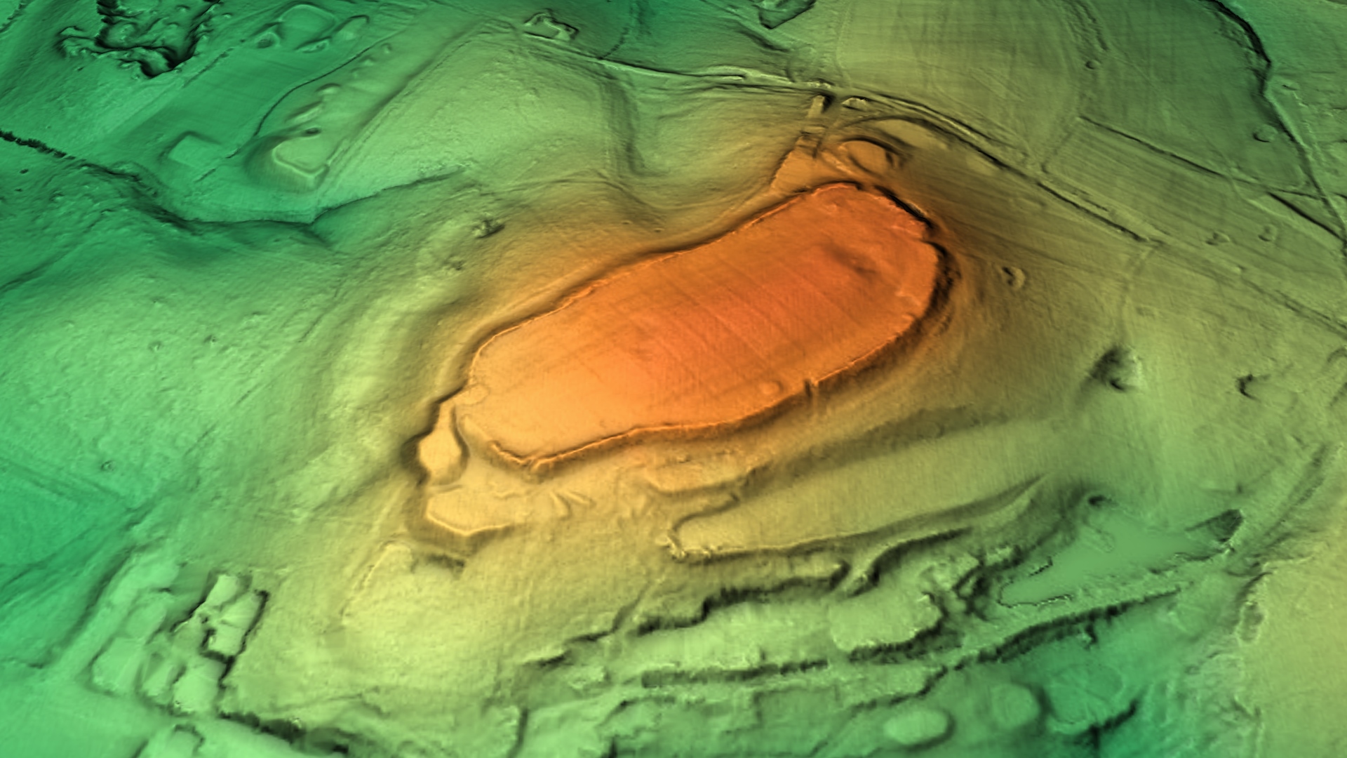
Dunwood Camp

Dunwood Camp is the site of an Iron Age hillfort located in Hampshire. It occupies the summit of a sandy hill. It has a single Rampart (fortification)...

Shootash

Shootash was, before WWI, originally an area consisting of a few farmsteads, woodland and common land which subsequently developed during the 20th century...

Embley (school)

Embley School (formerly Hampshire Collegiate School) is an independent day and boarding school for both girls and boys aged 2 to 18 located in Embley Park...

Embley Park

Embley Park, in Wellow (near Romsey, Hampshire), was the family home of Florence Nightingale from 1825 until her death in 1910. It is also where Florence...

Nearby Amenities

Located within 500m of 50.989555,-1.5829362
Barrier: kissing_gate
Lat/Long: 50.9883943/-1.5891157
Access: private
Fishing: members_only
Leisure: fishing
Lat/Long: 50.9923539/-1.5784946
The data included in this document is from www.openstreetmap.org. The data is made available under ODbL.

Have you been to Squab Copse?

Leave your review of Squab Copse below (or comments, questions and feedback).