Sir Henry Wood
Wood, Forest in Yorkshire Harrogate
England
Sir Henry Wood
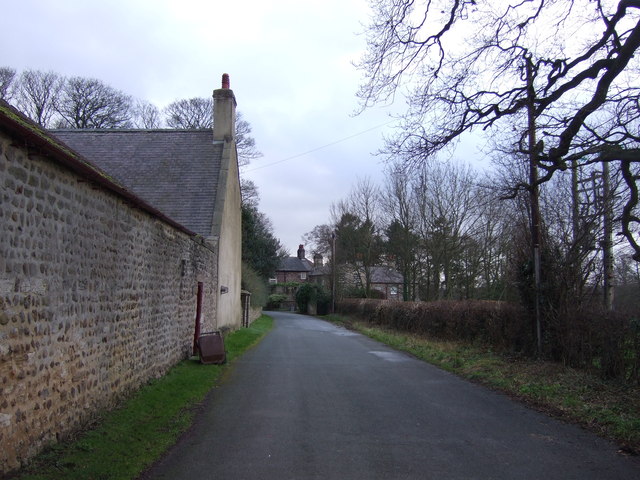
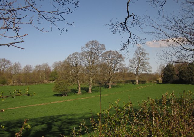
Sir Henry Wood, Yorkshire, commonly known as Wood, Forest, is a small village located in the county of Yorkshire, England. Nestled amidst the picturesque landscapes of the Yorkshire Dales, this quaint settlement is renowned for its natural beauty, rich history, and warm community.
Wood, Forest is named after Sir Henry Wood, a prominent figure in the village's history. Sir Henry Wood was a respected landowner and philanthropist who played a significant role in the development of the area. His contributions to the community include the establishment of schools, hospitals, and recreational facilities that still serve the villagers today.
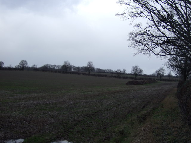
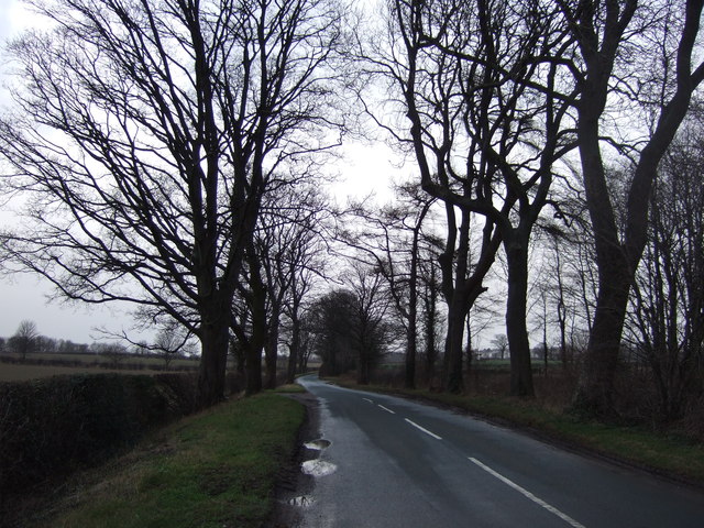
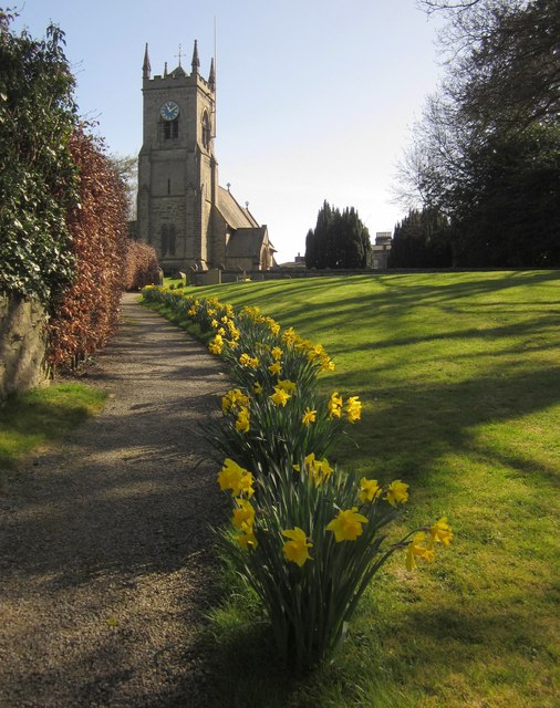
The village itself is characterized by its charming stone cottages, traditional architecture, and stunning views of the surrounding countryside. With its close proximity to the Yorkshire Dales National Park, Wood, Forest offers a plethora of outdoor activities such as hiking, cycling, and horseback riding. The village is also known for its vibrant local festivals and events, which attract visitors from near and far.
In addition to its natural beauty, Wood, Forest boasts a strong sense of community. Residents are known for their friendly and welcoming nature, and the village is home to a range of community organizations and clubs that foster social engagement and support.
Overall, Sir Henry Wood, Yorkshire (Wood, Forest) is a charming village that combines natural beauty, rich history, and a close-knit community. Its idyllic location and warm atmosphere make it a popular destination for those seeking a peaceful retreat in the heart of Yorkshire.
If you have any feedback on the listing, please let us know in the comments section below.
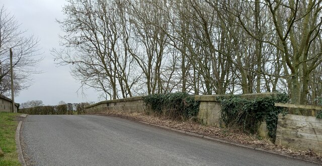
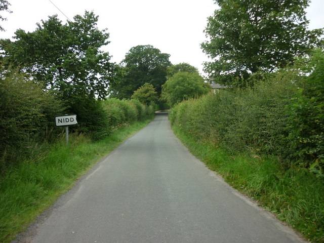
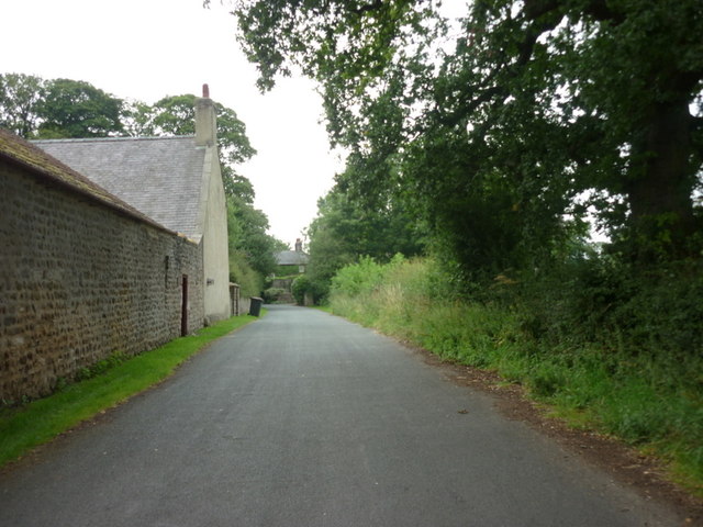
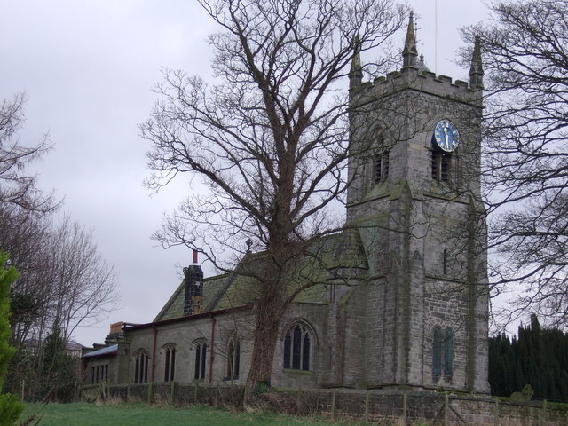
Sir Henry Wood Images
Images are sourced within 2km of 54.053225/-1.5623742 or Grid Reference SE2862. Thanks to Geograph Open Source API. All images are credited.


Sir Henry Wood is located at Grid Ref: SE2862 (Lat: 54.053225, Lng: -1.5623742)
Division: West Riding
Administrative County: North Yorkshire
District: Harrogate
Police Authority: North Yorkshire
What 3 Words
///marmalade.crimson.easels. Near Harrogate, North Yorkshire
Nearby Locations
Related Wikis

Ripley, North Yorkshire
Ripley is a town and civil parish in North Yorkshire in England, a few miles north of Harrogate on the A61 road towards Ripon. The town name derives from...

Ripley Castle
Ripley Castle is a Grade I listed 14th-century country house in Ripley, North Yorkshire, England, 3 miles (4.8 km) north of Harrogate.The house is built...

Ripley Town Hall, North Yorkshire
Ripley Town Hall is a municipal building in Main Street, Ripley, North Yorkshire, England. The structure, which is used as an events venue and as a post...

Nidd Hall
Nidd Hall was a 19th-century country house, now a hotel, in the village of Nidd, North Yorkshire, England. It is a Grade II listed building. It is constructed...

Bedlam, North Yorkshire
Bedlam is a small village in the Harrogate district of North Yorkshire, England situated north of Harrogate.Its name most likely came from Old English...
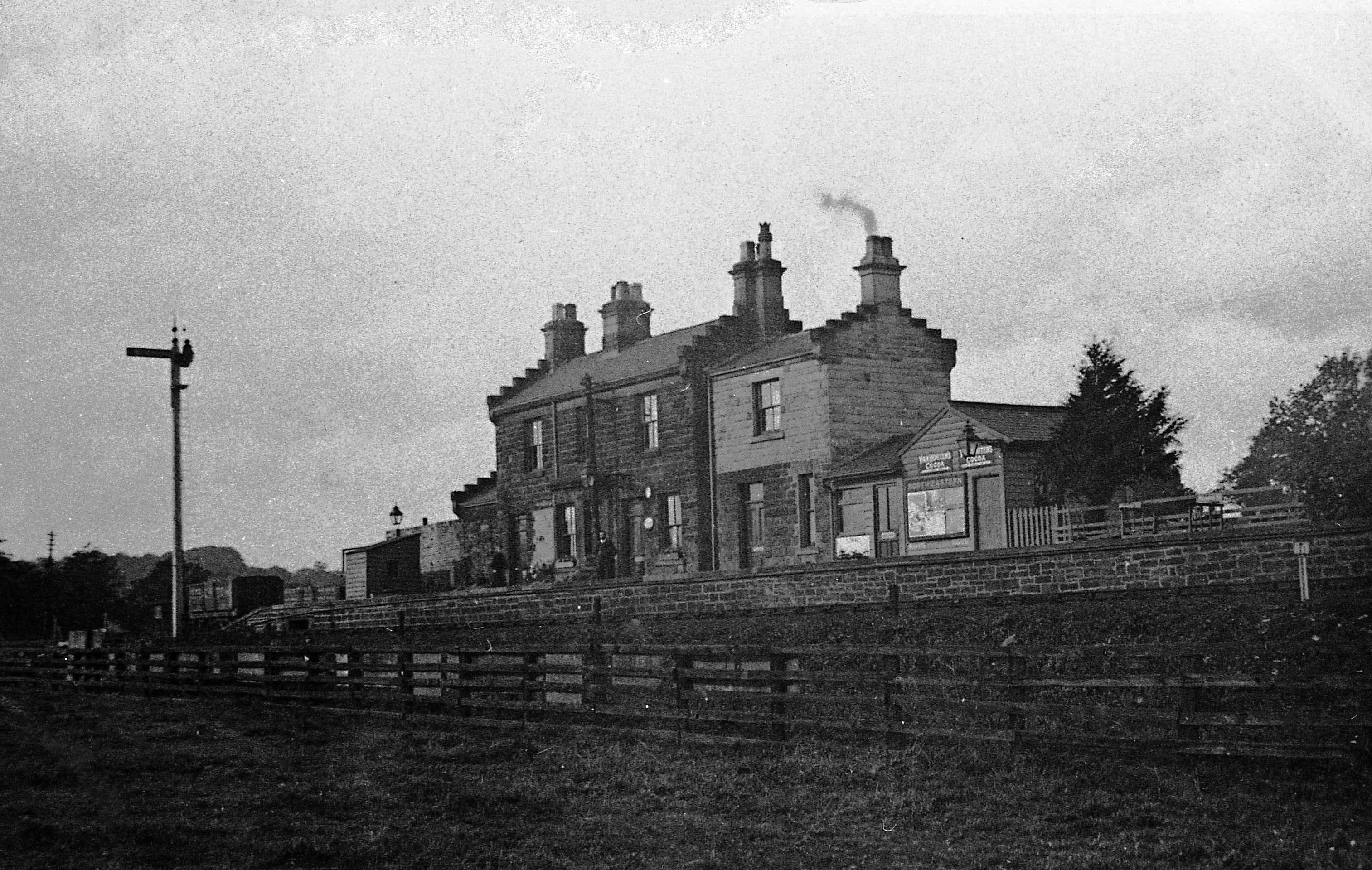
Ripley Valley railway station
Ripley Valley railway station served the villages of Killinghall and Ripley, North Yorkshire, England from 1862 to 1951 on the Nidd Valley Railway. �...
Nidd Bridge railway station
Nidd Bridge railway station served the village of Nidd, North Yorkshire, England from 1848 to 1964 on the Leeds-Northallerton Railway. == History == The...

Nidd
Nidd is a small village and civil parish in the Harrogate district of North Yorkshire, England. The population of the village taken at the 2011 census...
Nearby Amenities
Located within 500m of 54.053225,-1.5623742Have you been to Sir Henry Wood?
Leave your review of Sir Henry Wood below (or comments, questions and feedback).