Boat Hill Plantation
Wood, Forest in Durham
England
Boat Hill Plantation

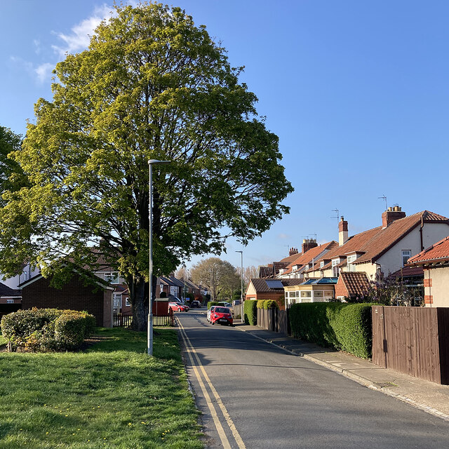
Boat Hill Plantation, located in Durham, North Carolina, is a picturesque and historic property nestled in a lush wooded area. The plantation is known for its scenic beauty, with its vast forests and rolling hills providing a serene and tranquil backdrop.
Covering a significant area, Boat Hill Plantation is predominantly covered by dense woodlands, creating a haven for various flora and fauna. The forest is composed of a diverse range of tree species, including oak, pine, and maple, which contribute to the vibrant colors and textures of the landscape throughout the year.
The plantation's topography is characterized by gentle slopes and hills, offering breathtaking panoramic views of the surrounding countryside. This makes it an ideal location for hiking, nature walks, and birdwatching, attracting outdoor enthusiasts and nature lovers.
In addition to its natural beauty, Boat Hill Plantation has a rich historical significance. The property has been in existence since the 18th century and has witnessed significant events throughout its history. The plantation was once a thriving agricultural hub, with crops such as tobacco and cotton being cultivated on its fertile grounds.
Today, Boat Hill Plantation stands as a testament to the region's history and natural splendor. It serves as a reminder of the area's agricultural heritage while providing a peaceful retreat for visitors seeking solace in nature. Whether it's exploring the woodland trails or admiring the breathtaking vistas, Boat Hill Plantation offers an unforgettable experience for those who venture to this scenic Durham destination.
If you have any feedback on the listing, please let us know in the comments section below.
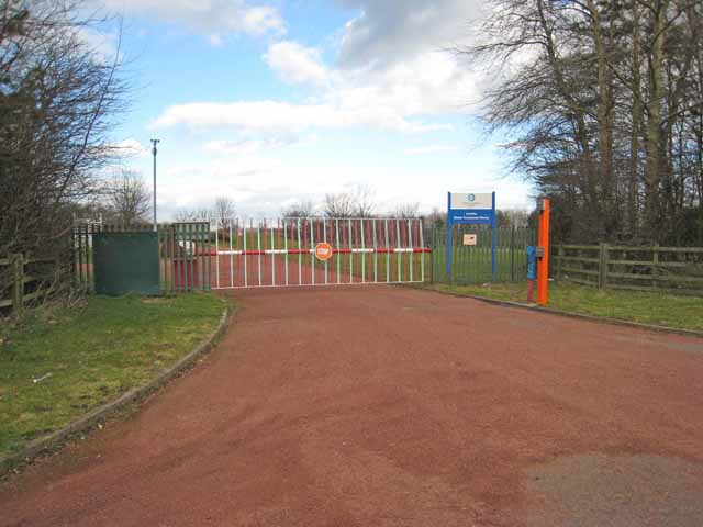
Boat Hill Plantation Images
Images are sourced within 2km of 54.844537/-1.5551978 or Grid Reference NZ2850. Thanks to Geograph Open Source API. All images are credited.


Boat Hill Plantation is located at Grid Ref: NZ2850 (Lat: 54.844537, Lng: -1.5551978)
Unitary Authority: County Durham
Police Authority: Durham
What 3 Words
///punch.glee.verse. Near Chester-le-Street, Co. Durham
Nearby Locations
Related Wikis
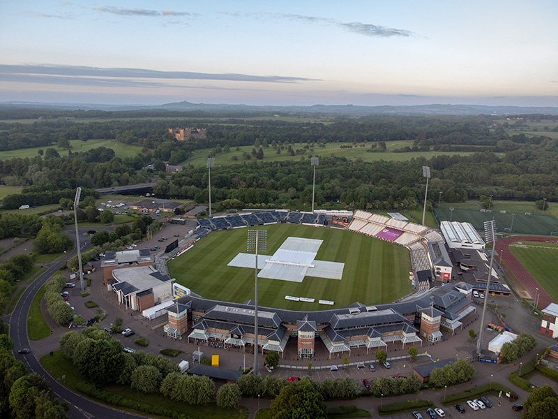
Riverside Ground
The Riverside Ground, known for sponsorship reasons as the Seat Unique Riverside, is a cricket venue in Chester-le-Street, County Durham, England. It is...

Chester-le-Street Amateur Rowing Club
Chester-le-Street Amateur Rowing Club is a rowing club on the River Wear, based at the Riverside Sports Complex, Chester-le-Street, County Durham. ��2...
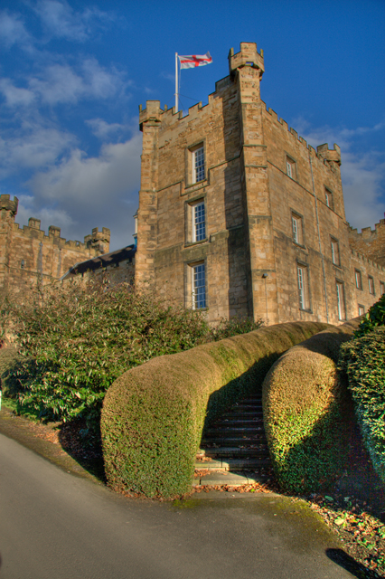
Lumley Castle
Lumley Castle is a 14th-century quadrangular castle at Chester-le-Street in the North of England, near the city of Durham and a property of the Earl of...

Great Lumley
Great Lumley is a village in County Durham, England. It is situated south east of Chester-le-Street, near Lumley Castle. It has a population of 3,843,...
Nearby Amenities
Located within 500m of 54.844537,-1.5551978Have you been to Boat Hill Plantation?
Leave your review of Boat Hill Plantation below (or comments, questions and feedback).