Ashen Copse
Wood, Forest in Berkshire Vale of White Horse
England
Ashen Copse
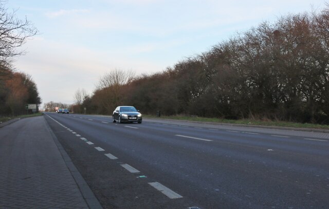
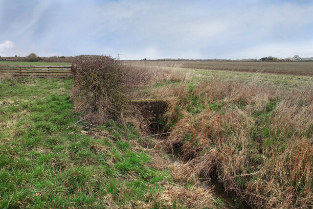
Ashen Copse is a picturesque woodland located in Berkshire, England. Stretching over an area of approximately 100 acres, this forest is known for its diverse and abundant flora and fauna, making it a popular destination for nature enthusiasts and hikers alike.
The copse is predominantly composed of ash trees, hence the name "Ashen Copse." These majestic trees provide a lush canopy, creating a serene and tranquil atmosphere within the forest. Additionally, the woodland is home to a variety of other tree species such as oak, beech, and birch, adding to its overall biodiversity.
The forest floor of Ashen Copse is covered with a rich carpet of vibrant wildflowers, including bluebells, primroses, and wood anemones, which bloom in the spring, creating a stunning display of colors. This floral diversity attracts a wide range of wildlife, including birds, butterflies, and small mammals.
Several well-maintained trails wind their way through Ashen Copse, allowing visitors to explore the forest's beauty. These paths offer opportunities for peaceful walks, jogging, or even cycling, providing a chance to embrace the tranquility of nature.
While Ashen Copse is primarily a natural woodland, it also serves as an important habitat for wildlife conservation. The forest management practices aim to maintain a healthy ecosystem by preserving the native vegetation and protecting the wildlife populations.
Overall, Ashen Copse in Berkshire is a captivating woodland that offers a peaceful retreat from the hustle and bustle of daily life. Its stunning beauty, diverse flora and fauna, and well-maintained trails make it an ideal destination for those seeking a connection with nature.
If you have any feedback on the listing, please let us know in the comments section below.
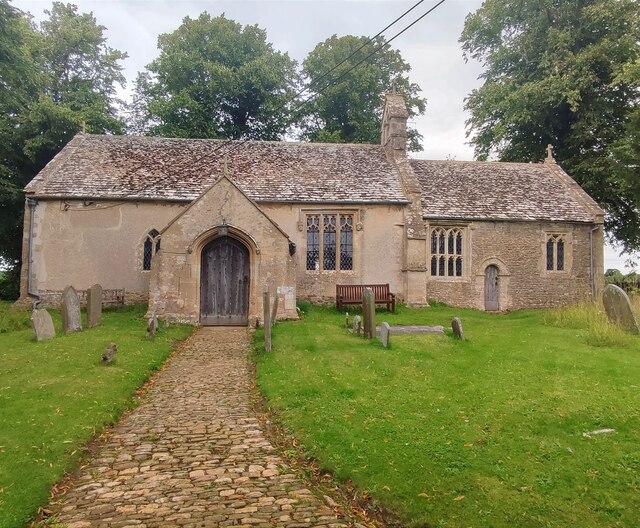
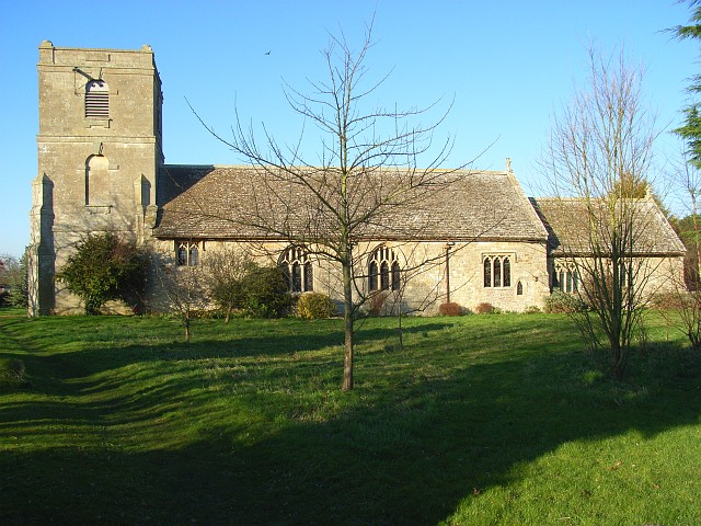
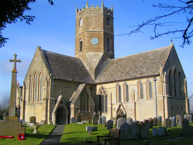
Ashen Copse Images
Images are sourced within 2km of 51.627492/-1.5890495 or Grid Reference SU2892. Thanks to Geograph Open Source API. All images are credited.


Ashen Copse is located at Grid Ref: SU2892 (Lat: 51.627492, Lng: -1.5890495)
Administrative County: Oxfordshire
District: Vale of White Horse
Police Authority: Thames Valley
What 3 Words
///conducted.dodges.directly. Near Faringdon, Oxfordshire
Nearby Locations
Related Wikis

Fernham
Fernham is a village and civil parish about 2 miles (3 km) south of Faringdon in the Vale of White Horse, Oxfordshire, England. Fernham was historically...

Little Coxwell
Little Coxwell is a village and civil parish in South East England, about 1.5 miles (2.4 km) south of Faringdon and 0.8 miles (1.3 km) east of Great Coxwell...
Longcot
Longcot is a village and civil parish in the Vale of White Horse District. It was part of Berkshire until the 1974 boundary changes transferred it to Oxfordshire...

Great Coxwell
Great Coxwell is a village and civil parish 2 miles (3 km) southwest of Faringdon in the Vale of White Horse, England. It was in Berkshire until the 1974...

Faringdon Community College
Faringdon Community College is an 11 to 18 mixed comprehensive school on the edge of Faringdon, a market town in Oxfordshire, England. The college has...

Great Coxwell Barn
Great Coxwell Barn is a Medieval tithe barn at Great Coxwell, Oxfordshire (formerly Berkshire), England. It is on the northern edge of the village of Great...
Uffington, Oxfordshire
Uffington is a village and civil parish in Oxfordshire, about 4 miles (6.4 km) south of Faringdon and 6 miles (10 km) west of Wantage. The 2011 Census...

Faringdon railway station
Faringdon railway station is a closed stone and brick built railway station that served the market town of Faringdon, in Oxfordshire, England and was on...
Nearby Amenities
Located within 500m of 51.627492,-1.5890495Have you been to Ashen Copse?
Leave your review of Ashen Copse below (or comments, questions and feedback).