Denstroude

Settlement in Kent Canterbury

England

Denstroude

Path in Blean Woods, near Dunkirk
Path in Blean Woods, near Dunkirk Credit: pam fray

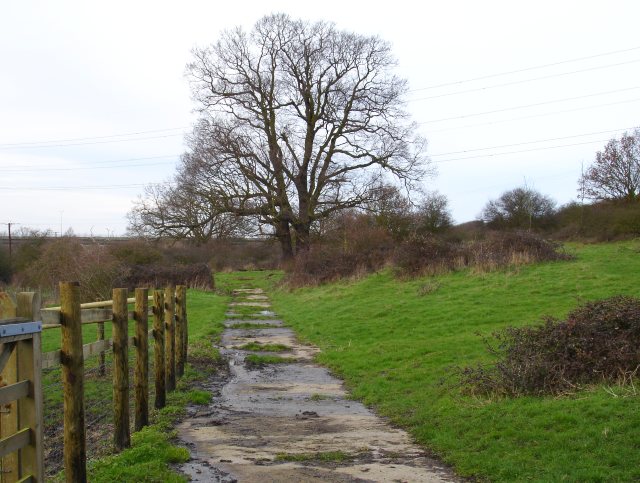
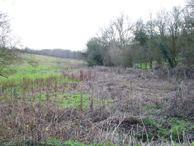
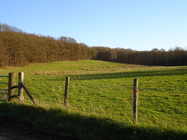
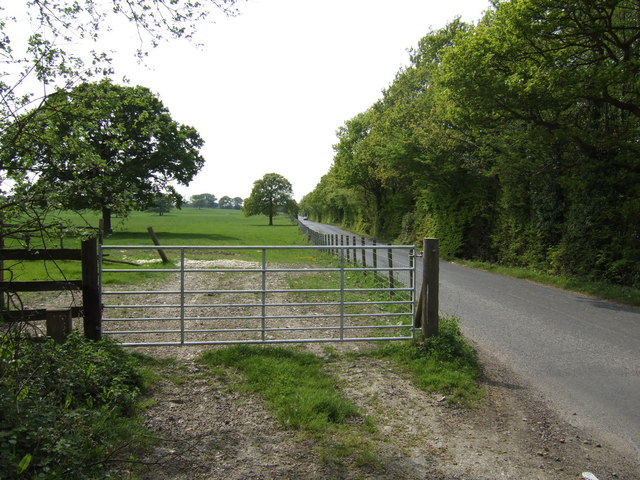
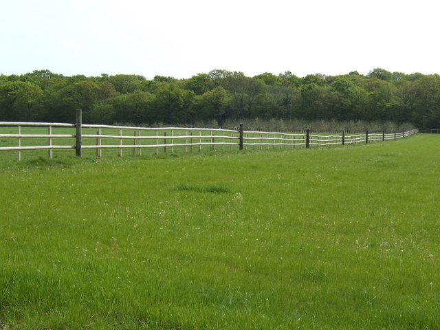
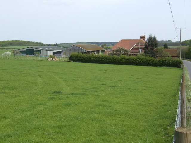
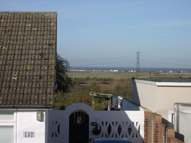
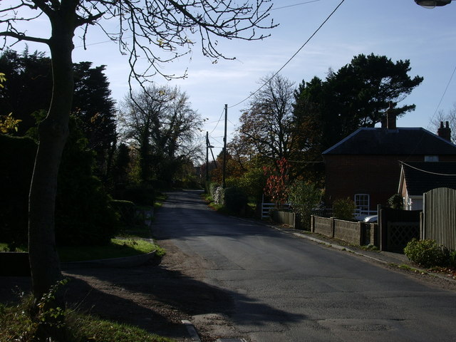
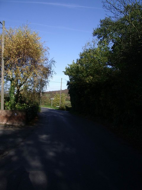
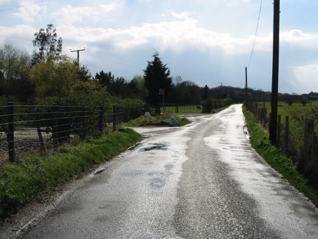
Denstroude is a small village located in the county of Kent, England. Situated about 3 miles southwest of the city of Canterbury, Denstroude falls within the civil parish of Sturry. The village is nestled in a picturesque countryside setting, surrounded by lush green fields and rolling hills.

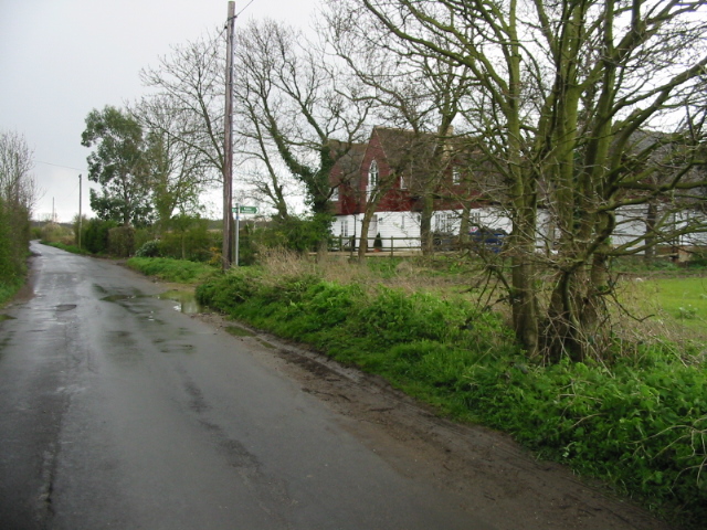
Denstroude is known for its tranquil and peaceful atmosphere, offering residents and visitors a chance to escape the hustle and bustle of city life. The village is primarily residential, with a mix of old cottages and more modern houses. Many of the properties in Denstroude have beautiful gardens and enjoy stunning views of the surrounding countryside.

Although Denstroude is a small village, it benefits from its close proximity to Canterbury. This allows residents to easily access a wider range of amenities and services, including shops, supermarkets, schools, and healthcare facilities. The village is also well-connected to other areas of Kent, thanks to its excellent transport links.

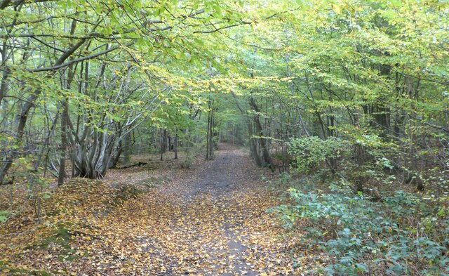
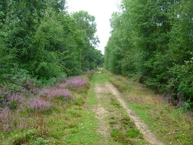
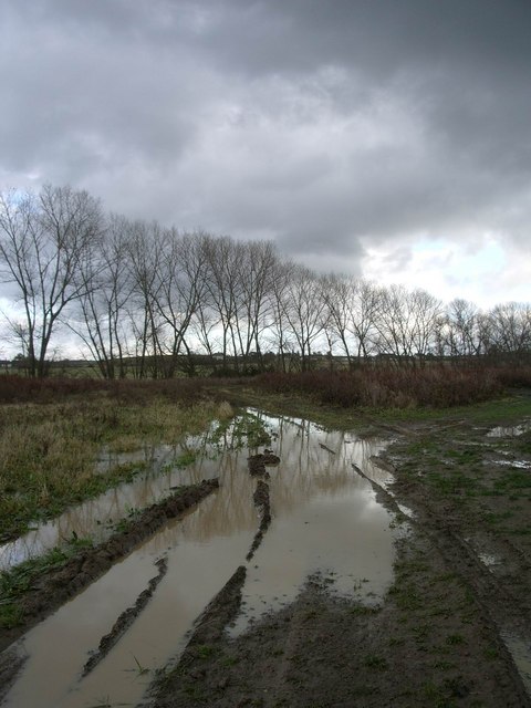
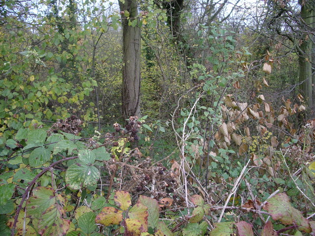
Nature lovers will appreciate the abundance of scenic walking and cycling routes in and around Denstroude. The village is surrounded by numerous nature reserves and parks, providing opportunities for outdoor activities and wildlife spotting. The nearby Stodmarsh National Nature Reserve is a particular highlight, offering a diverse range of habitats and attracting a variety of bird species.

In summary, Denstroude is a charming village in Kent that offers a peaceful and idyllic lifestyle. Its rural location, combined with easy access to nearby amenities and natural beauty, makes it an attractive place to live or visit.

If you have any feedback on the listing, please let us know in the comments section below.

Denstroude Images

Images are sourced within 2km of 51.315972/1.01572 or Grid Reference TR1061. Thanks to Geograph Open Source API. All images are credited.

Path in Blean Woods, near Dunkirk
Fox's Cross Bottom A sign on the gate indicates this is part of Wraik Hill Nature Reserve "A place for people and wildlife. The fields and hedgerows at Wraik Hill are a haven for wildlife. In winter, woodcock feed on the wet grassland and fieldfares feast on thorn berries. In summer, nightingales nest in the dense scrub and on sunny days the air is full of the songs of crickets and grass-hoppers, including the scarce Roesel's bush cricket... Look out for plants like pepper saxifrage, grass vetchling and spiny restharrow which grow only on grassland that has not been 'improved' with chemicals". 
The gate was firmly padlocked.
Fox's Cross Bottom
A sign on the gate indicates this is part of Wraik Hill Nature Reserve "A place for people and wildlife. The fields and hedgerows at Wraik Hill are a haven for wildlife. In winter, woodcock feed on the wet grassland and fieldfares feast on thorn berries. In summer, nightingales nest in the dense scrub and on sunny days the air is full of the songs of crickets and grass-hoppers, including the scarce Roesel's bush cricket... Look out for plants like pepper saxifrage, grass vetchling and spiny restharrow which grow only on grassland that has not been 'improved' with chemicals". The gate was firmly padlocked.
Fox's Cross Bottom Rough pasture south of Fox's Cross Hill.
Fox's Cross Bottom
Rough pasture south of Fox's Cross Hill.
Eastern end of the Blean This squared off clearing on the edge of the wood was plainly cleared many years ago as it shows on the 1940s OS map. It is east of the hamlet of Dargate and seen from the Dargate Road.
Eastern end of the Blean
This squared off clearing on the edge of the wood was plainly cleared many years ago as it shows on the 1940s OS map. It is east of the hamlet of Dargate and seen from the Dargate Road.
Courtenay Road The view south-west towards Dunkirk.
Courtenay Road
The view south-west towards Dunkirk.
Pasture and woodland The northern edge of North Bishopden Wood. More ex-orchard land, see <a href="https://www.geograph.org.uk/photo/413307">TR0657 : Paddocks where there used to be orchards</a>.
Pasture and woodland
The northern edge of North Bishopden Wood. More ex-orchard land, see TR0657 : Paddocks where there used to be orchards.
Denstroude Farm In the part of Kent known as The Blean; an area of pasture and woodland between Canterbury and the north coast.
Denstroude Farm
In the part of Kent known as The Blean; an area of pasture and woodland between Canterbury and the north coast.
North Bishopden Wood Permissive footpath heading to Crooked Oak from the edge of Blean Wood open access area.
North Bishopden Wood
Permissive footpath heading to Crooked Oak from the edge of Blean Wood open access area.
Yorkletts, looking across to Seasalter This is the view seen by the residents of the bungalows that line the lane at Yorkletts.
Yorkletts, looking across to Seasalter
This is the view seen by the residents of the bungalows that line the lane at Yorkletts.
Dargate Road, Yorkletts Looking towards Highstreet.
Dargate Road, Yorkletts
Looking towards Highstreet.
Dargate Road looking towards Fox's Cross Hill
Muddy track and trees at Highstreet, near Yorkletts
Coombe Wood, Yorkletts There are lots of new houses being built along this track and there doesn't seem to be a lot of woodland left.
Coombe Wood, Yorkletts
There are lots of new houses being built along this track and there doesn't seem to be a lot of woodland left.
View along Denstroude Lane to junction with road to Parsonage farm
Meeting of the ways! Denstroude Lane, footpath and road to Parsonage Farm
Meeting of the ways!
Denstroude Lane, footpath and road to Parsonage Farm
Road to Brook Farm from Denstroude Lane
Footpaths and road to Parsonage Farm off Denstroude Lane
Looking NE along Denstroude Lane
Show me another place!

Denstroude is located at Grid Ref: TR1061 (Lat: 51.315972, Lng: 1.01572)

Administrative County: Kent

District: Canterbury

Police Authority: Kent

What 3 Words

///sound.bonus.circulate. Near Blean, Kent

Nearby Locations

Denstroude

Related Wikis

Denstroude

Denstroude is a dispersed hamlet located to the west of the A290 road north of Canterbury in Kent, England. It is a collection of houses and farms, one...

Ellenden Wood

Ellenden Wood is a 90.6-hectare (224-acre) biological Site of Special Scientific Interest south of Whitstable in Kent. It is a Nature Conservation Review...

Honey Hill, Kent

Honey Hill is a hamlet on the A290 road, near the village of Blean, in the Canterbury district, in the English county of Kent.

Duncan Down

Duncan Down is an open, public, area to the south west of Whitstable and is the largest village green in the United Kingdom. It is a 21 hectare (52 acre...

Church Woods, Blean

Church Woods, Blean is a 526.7-hectare (1,302-acre) biological Site of Special Scientific Interest north-west of Canterbury in Kent. It is a Nature Conservation...

Yorkletts

Yorkletts is a settlement two miles south of Whitstable in Kent in South East England. At the 2011 Census the settlement was included in the Seasalter...

Foxes Cross Bottom

Foxes Cross Bottom is a 4-hectare (9.9-acre) Local Nature Reserve north-west of Whitstable in Kent. It is owned and managed by Canterbury City Council...

Blean

Blean is a village and civil parish in the Canterbury district of Kent, England. The civil parish is large and is mostly woodland, much of which is ancient...

Nearby Amenities

Located within 500m of 51.315972,1.01572
Denstroude
Is In: Kent, England, UK
Place: hamlet
Source: NPE maps
Wikidata: Q5259358
Lat/Long: 51.3156839/1.0156061
Power: pole
Lat/Long: 51.3153202/1.0212744
Power: pole
Lat/Long: 51.3151508/1.0222714
Barrier: horse_stile
Lat/Long: 51.3169127/1.0147623
The data included in this document is from www.openstreetmap.org. The data is made available under ODbL.

Have you been to Denstroude?

Leave your review of Denstroude below (or comments, questions and feedback).