Bannell's Plantation

Wood, Forest in Derbyshire South Derbyshire

England

Bannell's Plantation

More new houses This is, I think, the final row of houses to be built on this development on the edge of Mickleover.
More new houses Credit: Malcolm Neal

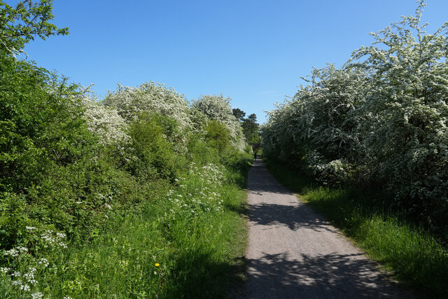
Bannell's Plantation is a picturesque woodland area located in Derbyshire, England. Situated in the heart of the county, this enchanting forest covers an area of approximately 100 acres and is known for its natural beauty and diverse flora and fauna.

The plantation is characterized by its dense canopy of mature trees, primarily consisting of oak, beech, and birch species. These towering giants provide a sheltered and serene environment, making it a popular destination for nature enthusiasts, hikers, and birdwatchers.

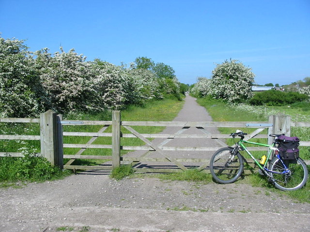
The forest floor is carpeted with a rich tapestry of wildflowers, ferns, and mosses, adding to the area's beauty and charm. Visitors can enjoy a leisurely stroll along the well-maintained trails that wind through the plantation, allowing them to fully immerse themselves in the tranquility of the surroundings.

Bannell's Plantation is also home to a diverse array of wildlife. Bird species such as woodpeckers, owls, and warblers can be spotted among the treetops, while small mammals like squirrels and rabbits scurry through the undergrowth. The plantation is also known to host a variety of butterflies and insects, providing a haven for nature lovers and photographers.

In addition to its natural wonders, Bannell's Plantation offers various recreational activities. There are designated picnic areas and benches scattered throughout the forest, allowing visitors to relax and enjoy a meal amidst the peaceful ambiance. The plantation is also equipped with well-marked walking trails and informative signboards, ensuring a safe and informative experience for all.

Overall, Bannell's Plantation is a hidden gem in Derbyshire, offering a tranquil escape into nature for those seeking solace and serenity. Its breathtaking beauty and abundant wildlife make it a must-visit destination for anyone exploring the region.

If you have any feedback on the listing, please let us know in the comments section below.

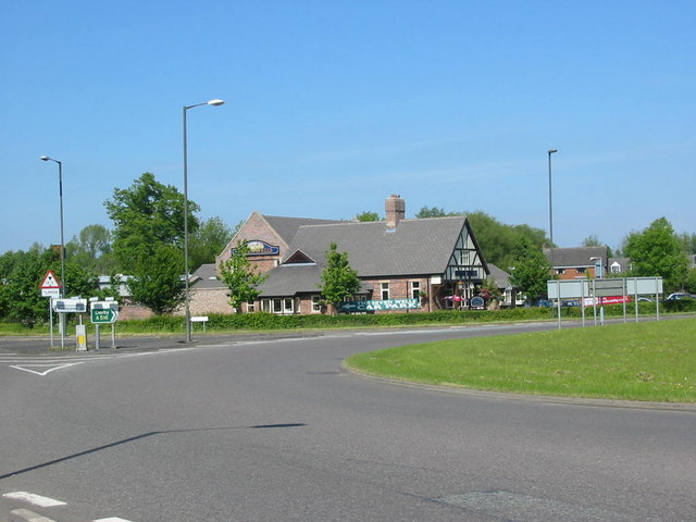
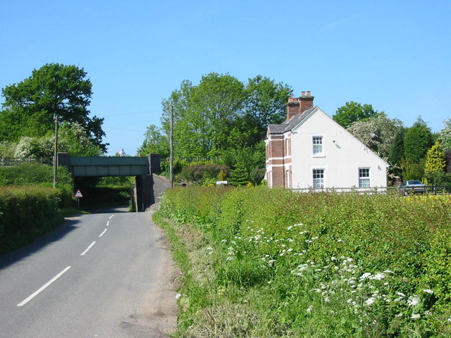
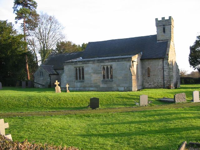
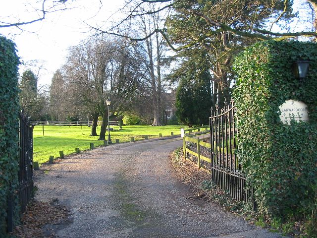
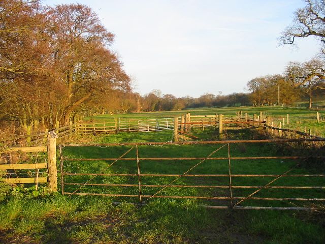
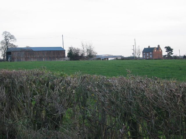
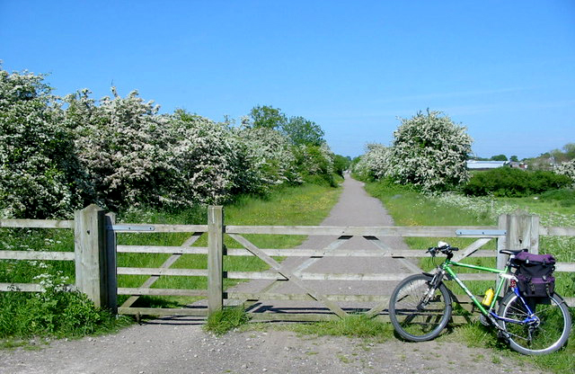
Bannell's Plantation Images

Images are sourced within 2km of 52.902791/-1.5815252 or Grid Reference SK2834. Thanks to Geograph Open Source API. All images are credited.

More new houses This is, I think, the final row of houses to be built on this development on the edge of Mickleover.
More new houses
This is, I think, the final row of houses to be built on this development on the edge of Mickleover.
A bright winter morning Out for some exercise this bright morning gave good views along the Etwall road. This looks towards the new island leading to the several housing estates being built just outside Mickleover and the city of Derby boundary on the right hand side of the image.
A bright winter morning
Out for some exercise this bright morning gave good views along the Etwall road. This looks towards the new island leading to the several housing estates being built just outside Mickleover and the city of Derby boundary on the right hand side of the image.
Bloor Homes development of 252 properties Manor Farm Field is honestly named housing development, which part of the urban growth of Mickleover.
Bloor Homes development of 252 properties
Manor Farm Field is honestly named housing development, which part of the urban growth of Mickleover.
New foundations The foundations are for houses in phase two of the Catchett Park development on the edge of Derby just outside Mickleover.
New foundations
The foundations are for houses in phase two of the Catchett Park development on the edge of Derby just outside Mickleover.
New houses The houses are part of Cotchett Park and at present are on the edge of the development but by the looks of the preparation work will eventually be completely surrounded by other houses.
New houses
The houses are part of Cotchett Park and at present are on the edge of the development but by the looks of the preparation work will eventually be completely surrounded by other houses.
Etwall to Derby cycle track On a bright warm morningin May, the May blossom (Hawthorn) is showing up well all along the cycle track.
Etwall to Derby cycle track
On a bright warm morningin May, the May blossom (Hawthorn) is showing up well all along the cycle track.
Greenside Court, Mickleover, Derby The start of the public footpath at Greenside Court in Mickleover that takes you to the former Great Northern Railway line that linked Mickleover to Etwall.
Greenside Court, Mickleover, Derby
The start of the public footpath at Greenside Court in Mickleover that takes you to the former Great Northern Railway line that linked Mickleover to Etwall.
The Seven Wells Pub This modern family eatery lies just outside Etwall on the new A516 bypass.  The significance of the Seven Wells name is not clear - maybe seven wells really were somewhere near - or maybe it's just a trendy name.
The Seven Wells Pub
This modern family eatery lies just outside Etwall on the new A516 bypass. The significance of the Seven Wells name is not clear - maybe seven wells really were somewhere near - or maybe it's just a trendy name.
Railway Bridge on Etwall to Mickleover Track This railway bridge used to carry the line from Burton-on-Trent to Derby Friargate station.  The line closed to passenger traffic in the 1960s but remained open for a while as a test track.  The line has now gone but the trackbed now forms the Etwall to Mickleover cycle way.
Railway Bridge on Etwall to Mickleover Track
This railway bridge used to carry the line from Burton-on-Trent to Derby Friargate station. The line closed to passenger traffic in the 1960s but remained open for a while as a test track. The line has now gone but the trackbed now forms the Etwall to Mickleover cycle way.
Bearwardcote Crossing This crossing on the former Burton to Derby railway serves Bearwardcote Farm.  The line is now a very popular multiuser trail between Mickleover and Etwall.
Bearwardcote Crossing
This crossing on the former Burton to Derby railway serves Bearwardcote Farm. The line is now a very popular multiuser trail between Mickleover and Etwall.
Potlocks Farm Potlocks farm overlooks the new developments around Mickleover to the west of Derby.  The old Derby Friargate railway line used to run just behind the farm in the valley.
Potlocks Farm
Potlocks farm overlooks the new developments around Mickleover to the west of Derby. The old Derby Friargate railway line used to run just behind the farm in the valley.
Dalbury Church All Saints church at Dalbury is one of the 'Longford 8'.  This is a grouping of a number of small parishes that are located in the rural areas to the west of Derby.
Dalbury Church
All Saints church at Dalbury is one of the 'Longford 8'. This is a grouping of a number of small parishes that are located in the rural areas to the west of Derby.
Bearwardcote Hall Bearwardcote Hall near Dalbury has found a new use as a private nursing home.
Bearwardcote Hall
Bearwardcote Hall near Dalbury has found a new use as a private nursing home.
Daysclose Plantation on the Radbourne Estate The trees here line Radbourne Brook that flows through the grounds of Radbourne Hall.
Daysclose Plantation on the Radbourne Estate
The trees here line Radbourne Brook that flows through the grounds of Radbourne Hall.
Smerills Farm Smerills Farm on the edge of the Radbourne Hall estate.
Smerills Farm
Smerills Farm on the edge of the Radbourne Hall estate.
Radbourne Hall Radbourne Hall lies a few miles to the west of Derby.  Bonnie Prince Charlie stayed one night at the hall in 1745 on his march south when his army halted at Swarkestone Bridge just south of Derby.
Radbourne Hall
Radbourne Hall lies a few miles to the west of Derby. Bonnie Prince Charlie stayed one night at the hall in 1745 on his march south when his army halted at Swarkestone Bridge just south of Derby.
Field with pond near Mickleover Behind the bush is a spring feeding the pond.The houses in the far distance are on the edge of Mickleover.
Field with pond near Mickleover
Behind the bush is a spring feeding the pond.The houses in the far distance are on the edge of Mickleover.
Disused church at the Pastures. The church was built for the old mental hospital nearby.The hospital is now part of an housing complex.
Disused church at the Pastures.
The church was built for the old mental hospital nearby.The hospital is now part of an housing complex.
Show me another place!

Bannell's Plantation is located at Grid Ref: SK2834 (Lat: 52.902791, Lng: -1.5815252)

Administrative County: Derbyshire

District: South Derbyshire

Police Authority: Derbyshire

What 3 Words

///dwell.farmer.cable. Near Etwall, Derbyshire

Related Wikis

Bearwardcote

Bearwardcote is a civil parish in the South Derbyshire district of Derbyshire, England. According to the 2001 census it had a population of 26. The hamlet...

Burnaston

Burnaston is a village and civil parish in the South Derbyshire district of Derbyshire, England. It is about 4.5 miles (7.2 km) southwest of the city of...
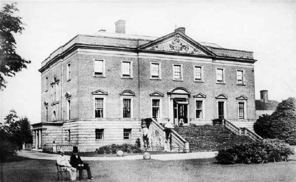
Radbourne Hall

Radbourne Hall is an 18th-century Georgian country house, the seat of the Chandos-Pole family, at Radbourne, Derbyshire. It is a Grade I listed building...
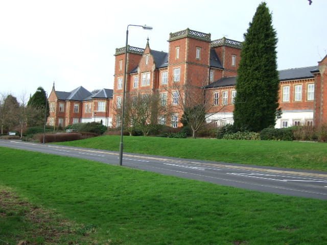
Pastures Hospital

Pastures Hospital was a mental health facility at Mickleover in Derbyshire, England. The church is a Grade II listed building. == History == The hospital...

All Saints' Church, Dalbury

All Saints’ Church, Dalbury is a Grade II* listed parish church in the Church of England in Dalbury Lees, Derbyshire. == History == The church dates from...

Dalbury Lees

Dalbury Lees is a parish in south Derbyshire. The population of the civil parish as taken at the 2011 Census (including Trusley) was 306. It is about...

St Andrew's Church, Radbourne

St Andrew's Church, Radbourne is a Grade I listed parish church in the Church of England in Radbourne, Derbyshire. == History == The church dates from...
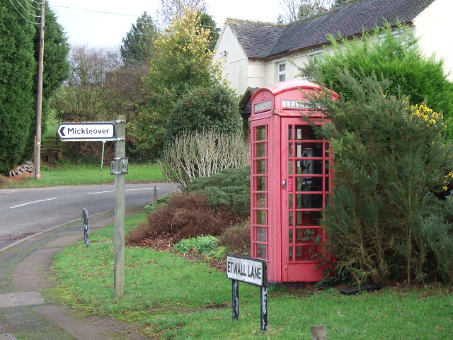
Mickleover

Mickleover is a large suburban village of Derby, in Derbyshire, England. It is 2 miles (3.2 km) west of Derby city centre, 10 miles (16 km) northeast of...

Nearby Amenities

Located within 500m of 52.902791,-1.5815252
Power: tower
Source: Bing
Lat/Long: 52.9006999/-1.5777635
Power: tower
Source: Bing
Lat/Long: 52.9028218/-1.5797643
Power: tower
Source: Bing
Lat/Long: 52.9053569/-1.5821389
Bench
Lat/Long: 52.9039405/-1.5765221
Bench
Lat/Long: 52.9002792/-1.5843435
The data included in this document is from www.openstreetmap.org. The data is made available under ODbL.

Have you been to Bannell's Plantation?

Leave your review of Bannell's Plantation below (or comments, questions and feedback).