Broadwells Wood

Wood, Forest in Warwickshire Warwick

England

Broadwells Wood

Hodgetts Lane, Burton Green
Hodgetts Lane, Burton Green Credit: Ian S

Broadwells Wood is a picturesque forest located in Warwickshire, England. Covering an area of approximately 100 hectares, it is a popular destination for nature enthusiasts and hikers alike. The wood is situated on the outskirts of the village of Alcester and is easily accessible by foot or car.

The forest is predominantly made up of broadleaf trees, such as oak, ash, and beech, which create a stunning canopy of greenery throughout the year. The dense foliage provides a haven for a variety of wildlife, including deer, squirrels, and a wide range of bird species. Visitors can often catch a glimpse of these animals as they explore the numerous walking trails that wind through the wood.

Broadwells Wood is renowned for its tranquil atmosphere and natural beauty, making it a perfect spot for those seeking solace in nature. The forest boasts a diverse range of flora, with carpets of bluebells in the spring and vibrant autumnal colors in the fall. This makes it an idyllic location for photographers and artists looking for inspiration.

The wood is also home to a number of historical features, including remnants of an old Roman road that once passed through the area. There is a sense of history and heritage that permeates the forest, adding to its charm.

With its peaceful ambiance, diverse wildlife, and stunning scenery, Broadwells Wood offers a serene escape from the hustle and bustle of everyday life. Whether it's a leisurely stroll, a picnic by a babbling brook, or simply a moment of reflection, this enchanting woodland has something to offer for everyone.

If you have any feedback on the listing, please let us know in the comments section below.

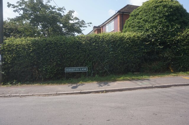
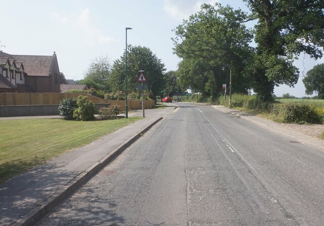
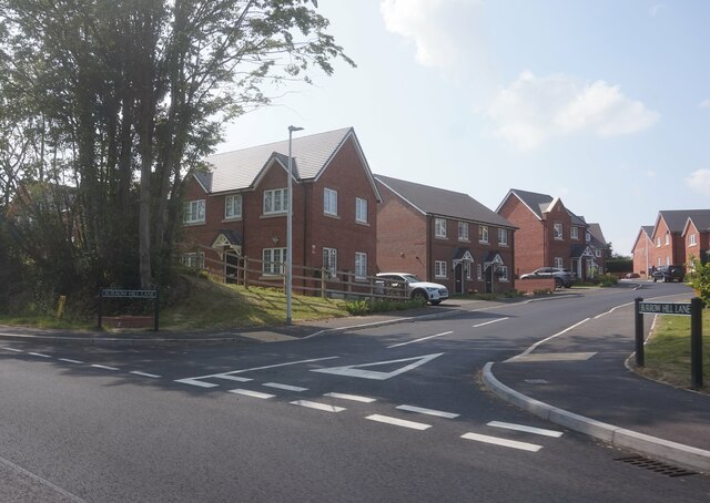
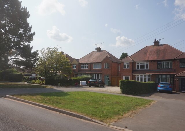
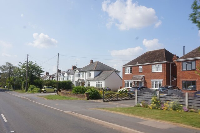
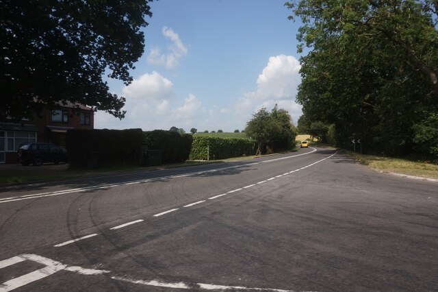
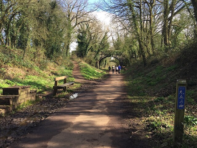
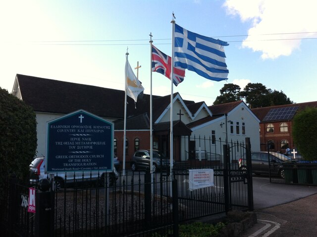
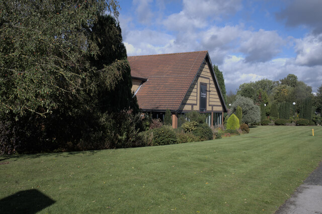
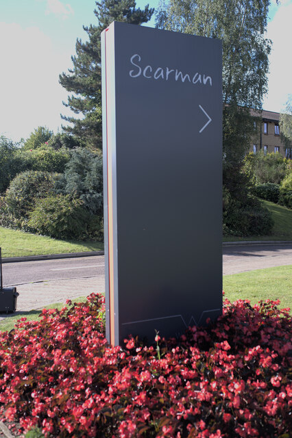
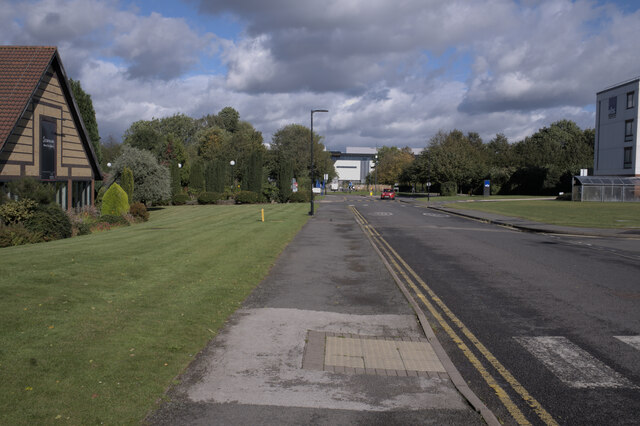
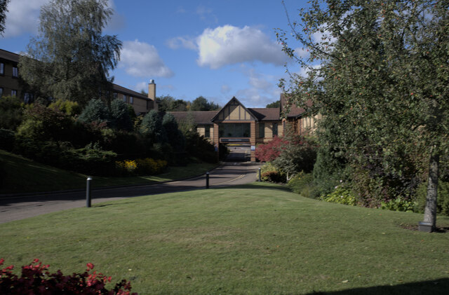
Broadwells Wood Images

Images are sourced within 2km of 52.376251/-1.5894548 or Grid Reference SP2875. Thanks to Geograph Open Source API. All images are credited.

Hodgetts Lane, Burton Green
Cromwell Lane, Burton Green
Burrow Hill Lane off Red Lane, Burton Green
Houses on Red Lane near Burton Green
Red Lane near Long Meadow Barn Farm
A452 Birmingham Road at Red Lane
East on Kenilworth Greenway, Crackley The Greenway, a County Council amenity, follows the route of the former Kenilworth-Berkswell railway line. Here it is crossed by and connected to a public footpath, a track at this point, between north Kenilworth and south Coventry.
East on Kenilworth Greenway, Crackley
The Greenway, a County Council amenity, follows the route of the former Kenilworth-Berkswell railway line. Here it is crossed by and connected to a public footpath, a track at this point, between north Kenilworth and south Coventry.
Greek Orthodox Church, Westwood Heath Road, Coventry The flags of Cyprus, the United Kingdom and Greece can be seen flying outside the Greek Orthodox Church of the Holy Transfiguration. The church was open to the public on a Heritage Open Day. Tours of the church building were taking place and, in St. George's Hall, the red brick building visible to the right behind the church, could be seen a display on the history of the church and the Greek Cypriot community and another on the history of the Westwood Heath area by the Westwood Heath History Group. For the website of the church see here <span class="nowrap"><a title="https://greekchurchcoventry.org/index.html" rel="nofollow ugc noopener" href="https://greekchurchcoventry.org/index.html">Link</a><img style="margin-left:2px;" alt="External link" title="External link - shift click to open in new window" src="https://s1.geograph.org.uk/img/external.png" width="10" height="10"/></span> , for the website of the history group see here <span class="nowrap"><a title="https://westwoodheathra.wixsite.com/website" rel="nofollow ugc noopener" href="https://westwoodheathra.wixsite.com/website">Link</a><img style="margin-left:2px;" alt="External link" title="External link - shift click to open in new window" src="https://s1.geograph.org.uk/img/external.png" width="10" height="10"/></span> .

According to the church display, the first Cypriot migrants arrived in Coventry in the 1930s. At that time Cyprus was a colony of the British Empire. Increasing migration in the 1950s and 1960s led to the establishment of a Greek-language supplementary school and a Greek Orthodox church, which worshipped in Church of England churches. In 1977 the community acquired a Victorian school building in Westwood Heath. This was consecrated as an Orthodox church in 1978. It has since been extended, while classrooms for the Greek school have been built along with St George's Hall as a community venue <span class="nowrap"><a title="https://greekchurchcoventry.org/about-us.html" rel="nofollow ugc noopener" href="https://greekchurchcoventry.org/about-us.html">Link</a><img style="margin-left:2px;" alt="External link" title="External link - shift click to open in new window" src="https://s1.geograph.org.uk/img/external.png" width="10" height="10"/></span> . The site overlooks the Warwickshire countryside beyond the city.

The church itself has the rectangular shape and rows of wooden pews of a western church building, but there is no mistaking the Orthodox character of the painted icons on the walls and on the iconostasis, the screen which divides the sanctuary with the altar from the main body of the church.
Greek Orthodox Church, Westwood Heath Road, Coventry
The flags of Cyprus, the United Kingdom and Greece can be seen flying outside the Greek Orthodox Church of the Holy Transfiguration. The church was open to the public on a Heritage Open Day. Tours of the church building were taking place and, in St. George's Hall, the red brick building visible to the right behind the church, could be seen a display on the history of the church and the Greek Cypriot community and another on the history of the Westwood Heath area by the Westwood Heath History Group. For the website of the church see here LinkExternal link , for the website of the history group see here LinkExternal link . According to the church display, the first Cypriot migrants arrived in Coventry in the 1930s. At that time Cyprus was a colony of the British Empire. Increasing migration in the 1950s and 1960s led to the establishment of a Greek-language supplementary school and a Greek Orthodox church, which worshipped in Church of England churches. In 1977 the community acquired a Victorian school building in Westwood Heath. This was consecrated as an Orthodox church in 1978. It has since been extended, while classrooms for the Greek school have been built along with St George's Hall as a community venue LinkExternal link . The site overlooks the Warwickshire countryside beyond the city. The church itself has the rectangular shape and rows of wooden pews of a western church building, but there is no mistaking the Orthodox character of the painted icons on the walls and on the iconostasis, the screen which divides the sanctuary with the altar from the main body of the church.
Radcliffe halls of residence - University of Warwick
Car parking - Radcliffe halls of residence Note that electric vehicle charging points have been provided, but at the same position as the disabled provision, meaning the points could not be used when a disabled vehicle was parked - entirely legitimately - in the spaces.
Car parking - Radcliffe halls of residence
Note that electric vehicle charging points have been provided, but at the same position as the disabled provision, meaning the points could not be used when a disabled vehicle was parked - entirely legitimately - in the spaces.
Railway Bridge Bridge on the old Kenilworth to Birmingham line. Now the Coventry Way.
Railway Bridge
Bridge on the old Kenilworth to Birmingham line. Now the Coventry Way.
Footpath to Cryfield Footpath and cycleway, but not a bridleway.
Footpath to Cryfield
Footpath and cycleway, but not a bridleway.
Unibus at Warwick University The campus of Warwick University lies just on the outskirts of Coventry (which has its own university within the city) and quite some miles from Warwick itself. However there is a very frequent bus service both into Coventry and to Warwick via Kenilworth and Leamington Spa.
Unibus at Warwick University
The campus of Warwick University lies just on the outskirts of Coventry (which has its own university within the city) and quite some miles from Warwick itself. However there is a very frequent bus service both into Coventry and to Warwick via Kenilworth and Leamington Spa.
Scarman building, University of Warwick
Entrance sign Sign for the Scarman Building
Entrance sign
Sign for the Scarman Building
Scarman Road
Scarman Road
Entrance road, Scarman building See <a href="https://www.geograph.org.uk/photo/6982955">SP2976 : Entrance, with signage</a> for the door near the archway
Entrance road, Scarman building
See SP2976 : Entrance, with signage for the door near the archway
Entrance, with signage Entrance to the Scarman building, with various Covid-19 precaution signs
Entrance, with signage
Entrance to the Scarman building, with various Covid-19 precaution signs
Show me another place!

Broadwells Wood is located at Grid Ref: SP2875 (Lat: 52.376251, Lng: -1.5894548)

Administrative County: Warwickshire

District: Warwick

Police Authority: Warwickshire

What 3 Words

///view.slows.agrees. Near Kenilworth, Warwickshire

Related Wikis

Burton Green

Burton Green is a village and civil parish in the Warwick district of the county of Warwickshire, England, some 4.8 km (3.0 mi) northwest of Kenilworth...

Westwood Heath

Westwood Heath is a southwestern suburb of the City of Coventry in the West Midlands, England.It is bordered by the suburbs of Cannon Park and Canley,...

Warwick Business School

Warwick Business School (WBS) is the business school of the University of Warwick and an academic department within the Faculty of Social Sciences. It...

WMG Academy for Young Engineers, Coventry

WMG Academy for Young Engineers is a University Technical College in the Canley area of Coventry, England. The college opened in 2014 on a site adjacent...

University of Warwick

The University of Warwick ( WORR-ik; abbreviated as Warw. in post-nominal letters) is a public research university on the outskirts of Coventry between...

Warwick Arts Centre

Warwick Arts Centre is a multi-venue arts complex at the University of Warwick in Coventry, England. It attracts around 300,000 visitors a year to over...

Coventry College of Education

Coventry College of Education existed as a separate institution until its incorporation into the University of Warwick in 1978 as the Westwood campus....

National Automotive Innovation Centre

The National Automotive Innovation Centre (NAIC), sometimes referred to as the National Automotive Innovation Campus, is a building at the University of...

Nearby Amenities

Located within 500m of 52.376251,-1.5894548
Material: wood
Operator: National Grid Electricity Distribution
Operator Wikidata: Q7988183
Power: pole
Lat/Long: 52.3755674/-1.5871742
Material: wood
Operator: National Grid Electricity Distribution
Operator Wikidata: Q7988183
Power: pole
Lat/Long: 52.3748133/-1.5874876
Material: wood
Operator: National Grid Electricity Distribution
Operator Wikidata: Q7988183
Power: pole
Lat/Long: 52.3770603/-1.583191
Material: wood
Operator: National Grid Electricity Distribution
Operator Wikidata: Q7988183
Power: pole
Lat/Long: 52.3761682/-1.5864254
Operator: National Grid Electricity Distribution
Operator Wikidata: Q7988183
Power: pole
Lat/Long: 52.3735355/-1.5936621
Operator: National Grid Electricity Distribution
Operator Wikidata: Q7988183
Power: pole
Lat/Long: 52.37358/-1.5925606
Material: wood
Operator: National Grid Electricity Distribution
Operator Wikidata: Q7988183
Power: pole
Lat/Long: 52.3764779/-1.585295
Operator: National Grid Electricity Distribution
Operator Wikidata: Q7988183
Power: pole
Lat/Long: 52.3736099/-1.5914292
Material: wood
Operator: National Grid Electricity Distribution
Operator Wikidata: Q7988183
Power: pole
Lat/Long: 52.376786/-1.5841746
Operator: National Grid Electricity Distribution
Operator Wikidata: Q7988183
Power: pole
Lat/Long: 52.3734925/-1.5947335
Barrier: kissing_gate
Lat/Long: 52.3801121/-1.5915347
Description: post with red hat -- hidden in hedge
Marker: aerial
Utility: fuel
Lat/Long: 52.3786167/-1.5872905
Colour: white
Marker: post
Material: plastic
Utility: fuel
Lat/Long: 52.3786113/-1.5873043
Description: white post with red hat
Marker: aerial
Utility: fuel
Lat/Long: 52.3785812/-1.5875982
The data included in this document is from www.openstreetmap.org. The data is made available under ODbL.

Have you been to Broadwells Wood?

Leave your review of Broadwells Wood below (or comments, questions and feedback).