Denford
Settlement in Staffordshire Staffordshire Moorlands
England
Denford
Denford is a small village situated in the county of Staffordshire, England. Located approximately 5 miles east of Leek and 10 miles northwest of Stoke-on-Trent, it is nestled in the picturesque Staffordshire Moorlands. The village has a population of around 500 residents.
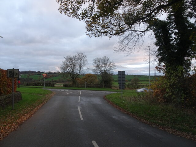
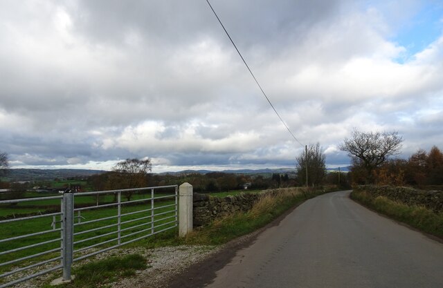
Denford is known for its idyllic countryside setting, surrounded by rolling hills and lush green fields. It offers a peaceful and tranquil environment, making it an attractive destination for nature lovers and those seeking a break from the hustle and bustle of urban life.
The village is characterized by its charming stone-built houses and traditional architecture, which adds to its rustic charm. Denford's historic roots can be traced back to the medieval period, with evidence of a Roman road passing through the area.
Despite its small size, Denford boasts a strong sense of community, with several local amenities available for residents and visitors. These include a village hall, a primary school, and a pub that serves as a social hub for the community.
For outdoor enthusiasts, Denford offers plenty of opportunities for leisure activities. The surrounding countryside is perfect for hiking, cycling, and horse riding, with several scenic trails crisscrossing the area.
Overall, Denford is a hidden gem in Staffordshire, offering a peaceful retreat and a glimpse into traditional English village life. Its natural beauty, community spirit, and historic charm make it a place worth exploring for both locals and tourists alike.
If you have any feedback on the listing, please let us know in the comments section below.
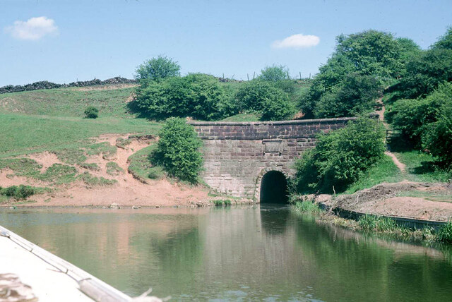
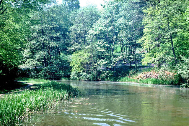
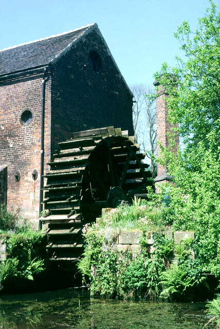
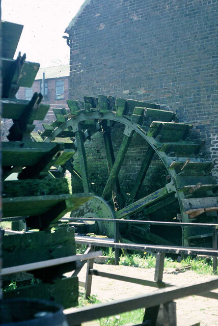
Denford Images
Images are sourced within 2km of 53.080668/-2.066399 or Grid Reference SJ9553. Thanks to Geograph Open Source API. All images are credited.


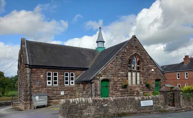
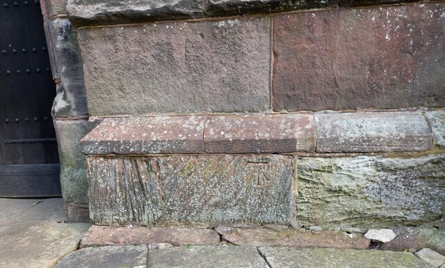
![Cheddleton, old school There is a benchmark cut into the south-east face of the old school [now a tearoom]. It is to the left of the building.](https://s3.geograph.org.uk/geophotos/07/00/51/7005111_d5b79137.jpg)


Denford is located at Grid Ref: SJ9553 (Lat: 53.080668, Lng: -2.066399)
Administrative County: Staffordshire
District: Staffordshire Moorlands
Police Authority: Staffordshire
What 3 Words
///hedgehog.situated.exporters. Near Cheddleton, Staffordshire
Nearby Locations
Related Wikis
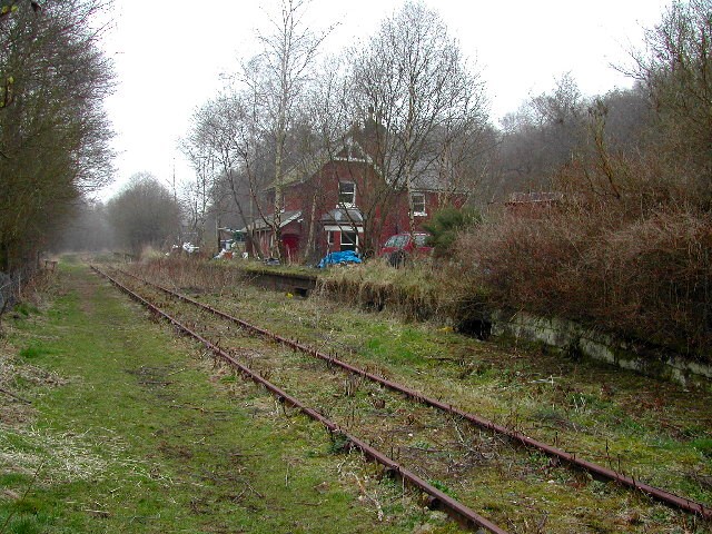
Wall Grange railway station
Wall Grange railway station is a disused railway station in Staffordshire, England. == History == The Stoke–Leek line was opened by the North Staffordshire...

Deep Hayes Country Park
Deep Hayes Country Park is a country park in Staffordshire, England. It is about 3 miles (4.8 km) south-west of Leek, a short distance south of the A53...

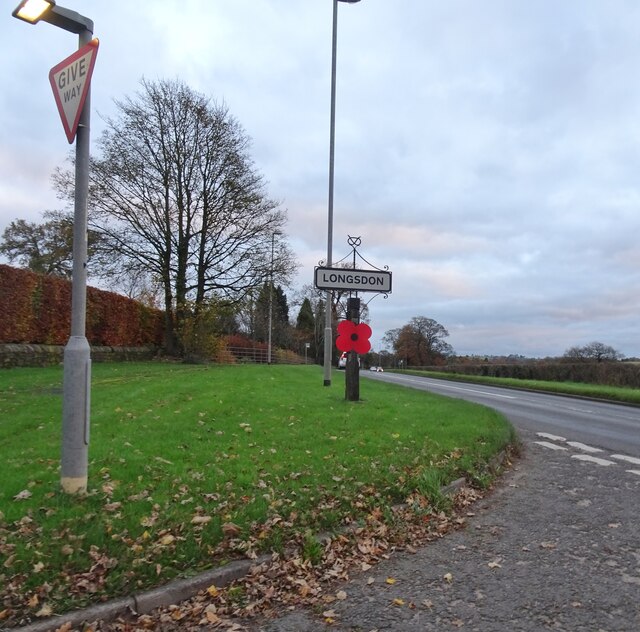
Longsdon
Longsdon is a village and civil parish in the Staffordshire Moorlands district of Staffordshire, England, about 1.5 miles (2.4 km) southwest of Leek, on...

St Edwards Hospital tramway
The St Edward's Hospital tramway was a tramway built for Staffordshire County Council for the construction of the St Edward's County Mental Asylum at Cheddleton...

St Edward's Hospital
St Edward's Hospital was a mental health facility at Cheddleton in Staffordshire, England. The hospital closed in 2002 and was converted into apartments...

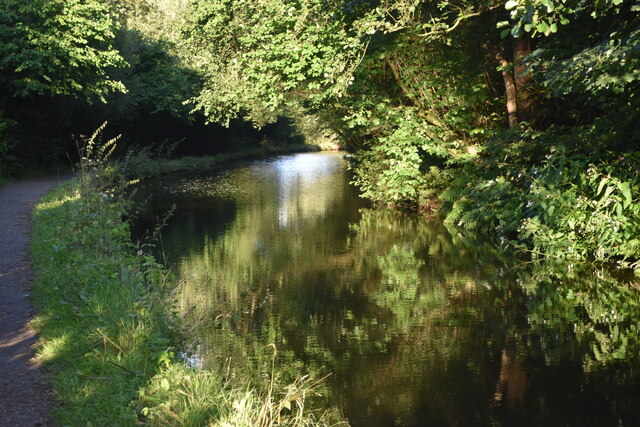
Cheddleton Flint Mill
Cheddleton Flint Mill is a water mill situated in the village of Cheddleton in the English county of Staffordshire. The mill race takes water from the...
Barnfields
Barnfields is a village in Staffordshire, England. The population at the 2011 census can be found under the Weeping Cross Ward of Stafford

Cheddleton
Cheddleton is an ancient parish and village in the Staffordshire Moorlands, near to the town of Leek, England. == History == The village is divided into...
Nearby Amenities
Located within 500m of 53.080668,-2.066399Have you been to Denford?
Leave your review of Denford below (or comments, questions and feedback).