Cumberledge Park Wood
Wood, Forest in Staffordshire Staffordshire Moorlands
England
Cumberledge Park Wood
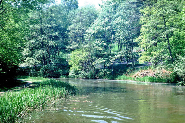
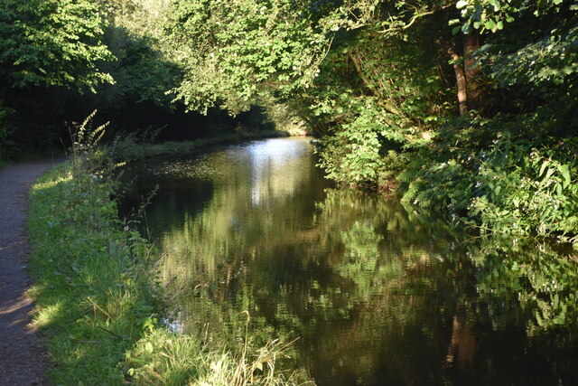
Cumberledge Park Wood is a picturesque woodland located in Staffordshire, England. Covering an area of approximately 50 acres, it is a popular destination for nature enthusiasts and outdoor lovers alike. The wood is situated on the outskirts of the small village of Cumberledge, offering a peaceful and tranquil escape from the hustle and bustle of city life.
The wood is primarily composed of oak, ash, and beech trees, creating a diverse and vibrant ecosystem. It is home to a wide range of flora and fauna, including bluebells, primroses, foxes, badgers, and a variety of bird species. The wood is particularly renowned for its spectacular display of bluebells in the spring, attracting visitors from far and wide.
A network of footpaths and trails crisscrosses the wood, allowing visitors to explore its natural beauty at their own pace. These paths are well-maintained and offer scenic views of the surrounding countryside. There is also a small picnic area, providing a perfect spot to relax and enjoy a meal amidst nature.
Cumberledge Park Wood is managed by a local conservation organization, which ensures the preservation of its natural habitat. The wood is open to the public throughout the year, free of charge. However, visitors are kindly requested to respect the environment by not littering and keeping dogs on a leash.
Whether it's a leisurely stroll, a family picnic, or simply immersing oneself in the tranquility of nature, Cumberledge Park Wood offers a delightful experience for all who visit.
If you have any feedback on the listing, please let us know in the comments section below.
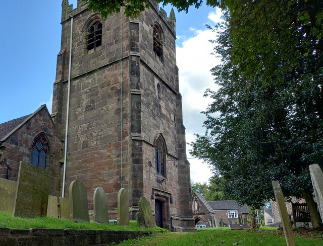
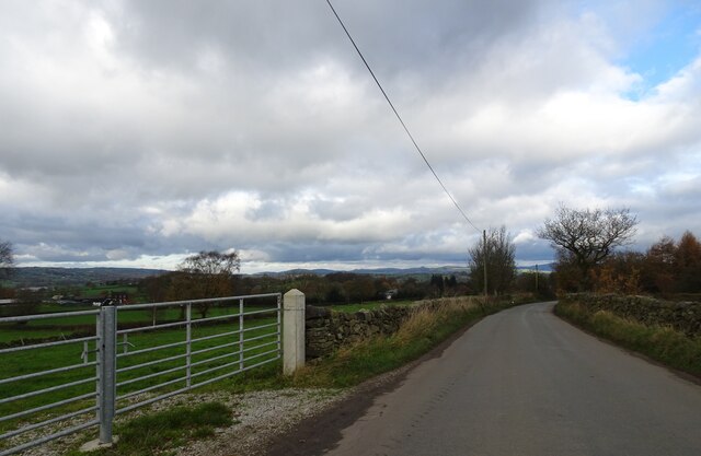
Cumberledge Park Wood Images
Images are sourced within 2km of 53.074655/-2.0628729 or Grid Reference SJ9553. Thanks to Geograph Open Source API. All images are credited.


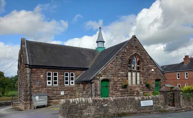
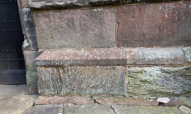
![Cheddleton, old school There is a benchmark cut into the south-east face of the old school [now a tearoom]. It is to the left of the building.](https://s3.geograph.org.uk/geophotos/07/00/51/7005111_d5b79137.jpg)


Cumberledge Park Wood is located at Grid Ref: SJ9553 (Lat: 53.074655, Lng: -2.0628729)
Administrative County: Staffordshire
District: Staffordshire Moorlands
Police Authority: Staffordshire
What 3 Words
///beak.knees.tokens. Near Cheddleton, Staffordshire
Nearby Locations
Related Wikis

Deep Hayes Country Park
Deep Hayes Country Park is a country park in Staffordshire, England. It is about 3 miles (4.8 km) south-west of Leek, a short distance south of the A53...
Wall Grange railway station
Wall Grange railway station is a disused railway station in Staffordshire, England. == History == The Stoke–Leek line was opened by the North Staffordshire...

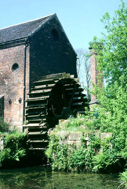
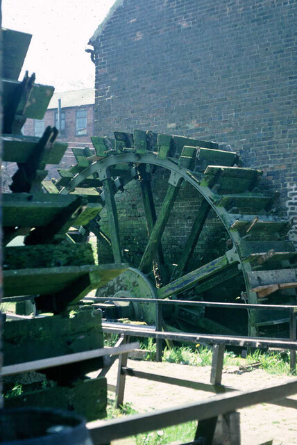
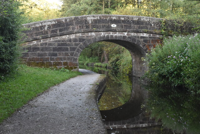
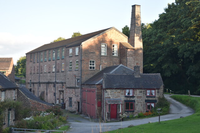
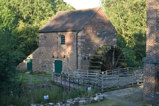
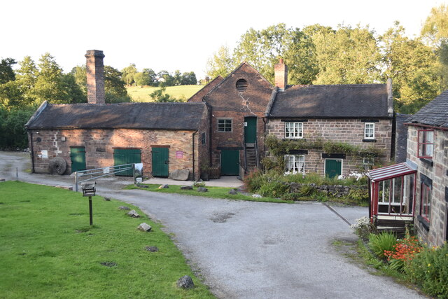
Cheddleton Flint Mill
Cheddleton Flint Mill is a water mill situated in the village of Cheddleton in the English county of Staffordshire. The mill race takes water from the...

Longsdon
Longsdon is a village and civil parish in the Staffordshire Moorlands district of Staffordshire, England, about 1.5 miles (2.4 km) southwest of Leek, on...

St Edwards Hospital tramway
The St Edward's Hospital tramway was a tramway built for Staffordshire County Council for the construction of the St Edward's County Mental Asylum at Cheddleton...

St Edward's Hospital
St Edward's Hospital was a mental health facility at Cheddleton in Staffordshire, England. The hospital closed in 2002 and was converted into apartments...

Cheddleton
Cheddleton is an ancient parish and village in the Staffordshire Moorlands, near to the town of Leek, England. == History == The village is divided into...

Leek Brook railway station
Leek Brook railway station is a passenger station in Staffordshire, Great Britain. == History == Leek Brook railway station was opened by the North Staffordshire...
Nearby Amenities
Located within 500m of 53.074655,-2.0628729Have you been to Cumberledge Park Wood?
Leave your review of Cumberledge Park Wood below (or comments, questions and feedback).