Red Lodge Copse
Wood, Forest in Wiltshire New Forest
England
Red Lodge Copse
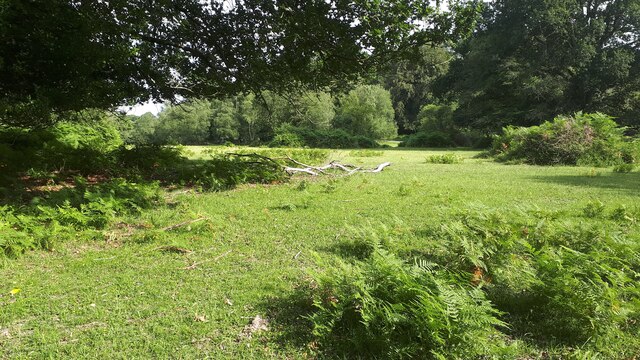
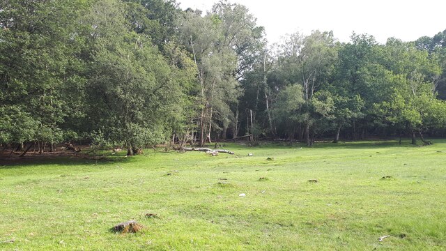
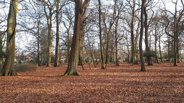
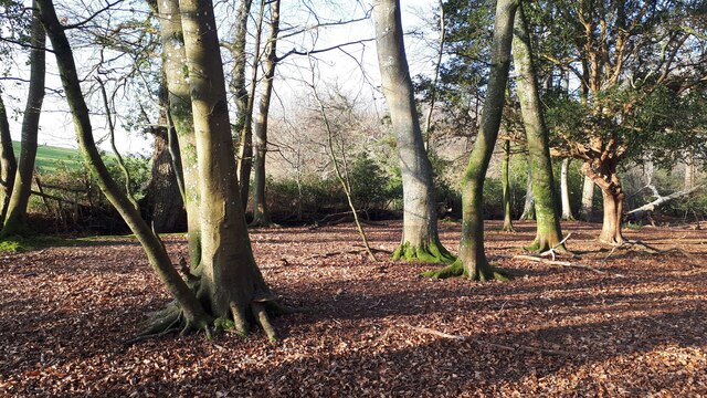
Red Lodge Copse is a picturesque woodland located in Wiltshire, England. Covering an area of approximately 20 acres, this enchanting forest is known for its abundant wildlife and tranquil atmosphere. The copse is situated near the village of Red Lodge, just a short distance from the bustling town of Swindon.
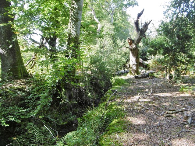
The woodland is primarily composed of native deciduous trees, such as oak, beech, and hazel, which create a dense canopy overhead. Walking through Red Lodge Copse, visitors are greeted by a vibrant display of wildflowers, including bluebells and primroses, in the springtime.
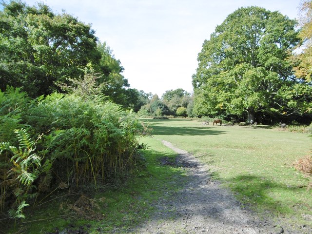
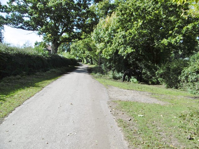
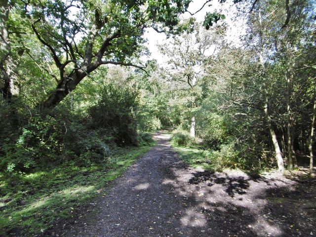
The copse is crisscrossed by a network of well-maintained footpaths, offering visitors the opportunity to explore its natural wonders at their leisure. These paths wind through the woodland, leading to hidden clearings, babbling brooks, and small ponds. The peaceful ambiance of Red Lodge Copse makes it an ideal spot for nature lovers, birdwatchers, and those seeking a peaceful retreat from the hustle and bustle of everyday life.
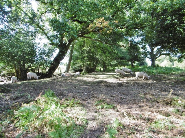
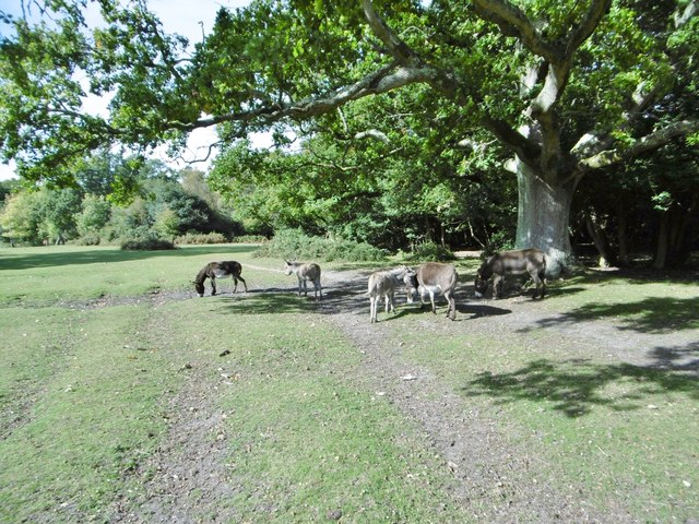
The copse is also home to a diverse array of wildlife. Keen-eyed visitors may spot deer, rabbits, and squirrels darting through the undergrowth, while birdwatchers can observe a variety of species, including woodpeckers, owls, and warblers. Red Lodge Copse truly offers a unique opportunity to connect with nature and experience the beauty of the English countryside.
Overall, Red Lodge Copse is a haven of tranquility, brimming with natural beauty and teeming with wildlife. Whether exploring the forest's winding paths or simply enjoying a picnic beneath the shade of its ancient trees, visitors are guaranteed to find solace and serenity in this captivating woodland.
If you have any feedback on the listing, please let us know in the comments section below.
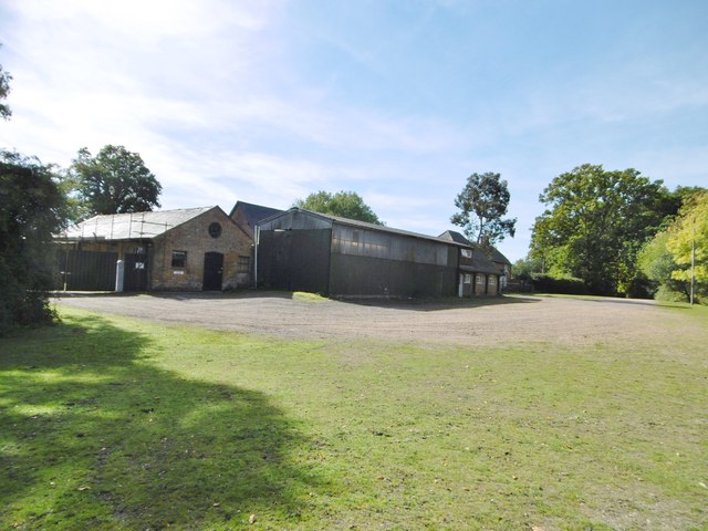
Red Lodge Copse Images
Images are sourced within 2km of 50.938714/-1.6122678 or Grid Reference SU2715. Thanks to Geograph Open Source API. All images are credited.


Red Lodge Copse is located at Grid Ref: SU2715 (Lat: 50.938714, Lng: -1.6122678)
Administrative County: Hampshire
District: New Forest
Police Authority: Hampshire
What 3 Words
///streaking.tinkle.disband. Near Cadnam, Hampshire
Related Wikis

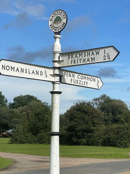
Bramshaw
Bramshaw is a small village and civil parish in Hampshire, England. It lies just inside the New Forest. The name Bramshaw means Bramble Wood. Until 1895...

Brook, New Forest
Brook is a hamlet in the civil parish of Bramshaw, in Hampshire, England. It lies just inside the New Forest. The hamlet contains a mix of 18th and 19th...

Landford Heath
Landford Heath (grid reference SU265178) is an 11.75 hectare biological Site of Special Scientific Interest near Landford in southeast Wiltshire, England...

Nomansland, Wiltshire
Nomansland is a small village in Wiltshire, England, close to the county border with Hampshire. It is part of the parish of Landford and lies about 3.5...
Landford Bog
Landford Bog (grid reference SU259185) is an 11.6 hectare biological Site of Special Scientific Interest at Landford in southeast Wiltshire, England. It...
Upper Canterton
Upper Canterton is a village in Hampshire, England, located at 50°54′36″N 1°37′24″W. It is near Minstead. == References == The geographic coordinates are...

Bartley Lodge
Bartley Lodge is a country house near Cadnam in Hampshire, England, within the boundaries of the New Forest National Park. It was built in the 18th century...

Copythorne
Copythorne is a village and civil parish in Hampshire, England, within the boundaries of the New Forest National Park. == Overview == Copythorne is in...
Nearby Amenities
Located within 500m of 50.938714,-1.6122678Have you been to Red Lodge Copse?
Leave your review of Red Lodge Copse below (or comments, questions and feedback).