Doe Wood

Wood, Forest in Derbyshire Derbyshire Dales

England

Doe Wood

St Anne's Churchyard, Beeley
St Anne's Churchyard, Beeley Credit: Francis Dolman

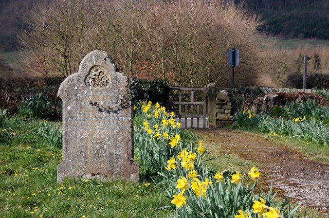
Doe Wood is a picturesque forest located in the county of Derbyshire, England. Covering an area of approximately 100 acres, it is a popular destination for nature enthusiasts and outdoor lovers. The wood is situated near the village of Doe Lea, surrounded by rolling hills and stunning countryside.

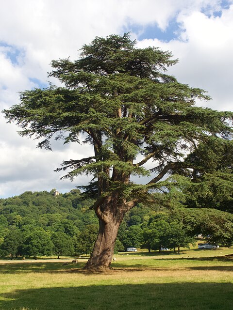
Doe Wood is primarily composed of broadleaf trees, including oak, beech, and ash, which create a vibrant and diverse ecosystem. The canopy provides a dense cover, allowing sunlight to filter through in scattered patches, creating an enchanting atmosphere. The forest floor is adorned with a carpet of bluebells and wildflowers during the spring, further adding to its charm.

The wood is crisscrossed by a network of well-maintained footpaths, making it easily accessible for visitors of all ages. These paths allow for leisurely walks through the forest, providing ample opportunities to observe the local wildlife. Roe deer, foxes, and various species of birds can often be spotted, adding an element of excitement to any visit.

In addition to its natural beauty, Doe Wood also offers recreational activities such as bird watching, photography, and picnicking. The tranquil surroundings make it an ideal spot for those seeking solace and relaxation in nature.

Doe Wood is part of the wider Doe Lea Valley, which includes other nearby woodlands and open spaces. Combined, these areas offer a haven for wildlife and a sanctuary for visitors to immerse themselves in the beauty of Derbyshire's countryside.

If you have any feedback on the listing, please let us know in the comments section below.

Doe Wood Images

Images are sourced within 2km of 53.216578/-1.5982281 or Grid Reference SK2668. Thanks to Geograph Open Source API. All images are credited.

St Anne's Churchyard, Beeley
St Anne's Church, Beeley
Entrance gate to Chatsworth House The visitor entrance is just beyond the extreme left of the view.

Camera: Olympus Mju II
Film: Fuji Superia Reala 100
Scanner: Nikon D7200
Conversion software: Grain2Pixel (unedited)
Entrance gate to Chatsworth House
The visitor entrance is just beyond the extreme left of the view. Camera: Olympus Mju II Film: Fuji Superia Reala 100 Scanner: Nikon D7200 Conversion software: Grain2Pixel (unedited)
Chatsworth House Gardens Viewed from near the Kitchen gardens, showing the Orangery on the left and the Display Greenhouse (1970) on the right.

Camera: Olympus Mju II
Film: Fuji Superia Reala 100
Scanner: Nikon D7200
Conversion software: Grain2Pixel (unedited)
Chatsworth House Gardens
Viewed from near the Kitchen gardens, showing the Orangery on the left and the Display Greenhouse (1970) on the right. Camera: Olympus Mju II Film: Fuji Superia Reala 100 Scanner: Nikon D7200 Conversion software: Grain2Pixel (unedited)
Greenhouses in the Kitchen Garden, Chatsworth House Showing the Stables in the background.

Camera: Olympus Mju II
Film: Fuji Superia Reala 100
Scanner: Nikon D7200
Conversion software: Grain2Pixel (unedited)
Greenhouses in the Kitchen Garden, Chatsworth House
Showing the Stables in the background. Camera: Olympus Mju II Film: Fuji Superia Reala 100 Scanner: Nikon D7200 Conversion software: Grain2Pixel (unedited)
The Conservative Wall, Chatsworth House Also showing "Flora's Temple" on the left. The Conservative wall is a very shallow cascading glasshouse; a truly striking feature.

Camera: Olympus Mju II
Film: Fuji Superia Reala 100
Scanner: Nikon D7200
Conversion software: Grain2Pixel (unedited)
The Conservative Wall, Chatsworth House
Also showing "Flora's Temple" on the left. The Conservative wall is a very shallow cascading glasshouse; a truly striking feature. Camera: Olympus Mju II Film: Fuji Superia Reala 100 Scanner: Nikon D7200 Conversion software: Grain2Pixel (unedited)
Chatsworth House Gardens Showing the "100 Steps" and the Maze.

Camera: Olympus Mju II
Film: Fuji Superia Reala 100
Scanner: Nikon D7200
Conversion software: Grain2Pixel (unedited)
Chatsworth House Gardens
Showing the "100 Steps" and the Maze. Camera: Olympus Mju II Film: Fuji Superia Reala 100 Scanner: Nikon D7200 Conversion software: Grain2Pixel (unedited)
Chatsworth House Cascade A more civilised scene to that of 1983, surprisingly! <a href="https://www.geograph.org.uk/photo/1558060">SK2670 : The cascade, Chatsworth</a>

Camera: Olympus Mju II
Film: Fuji Superia Reala 100
Scanner: Nikon D7200
Conversion software: Grain2Pixel (unedited)
Chatsworth House Cascade
A more civilised scene to that of 1983, surprisingly! SK2670 : The cascade, Chatsworth Camera: Olympus Mju II Film: Fuji Superia Reala 100 Scanner: Nikon D7200 Conversion software: Grain2Pixel (unedited)
Chatsworth House Gardens Showing the Orangery and part of the House in the background.

Camera: Olympus Mju II
Film: Fuji Superia Reala 100
Scanner: Nikon D7200
Conversion software: Grain2Pixel (unedited)
Chatsworth House Gardens
Showing the Orangery and part of the House in the background. Camera: Olympus Mju II Film: Fuji Superia Reala 100 Scanner: Nikon D7200 Conversion software: Grain2Pixel (unedited)
Solitary tree and contrails in Chatsworth Park Looks like the pilot was taking evasive action.
Solitary tree and contrails in Chatsworth Park
Looks like the pilot was taking evasive action.
Contrails above Chatsworth House Accidentally forming the Scottish saltire
Contrails above Chatsworth House
Accidentally forming the Scottish saltire
Former stable block at Chatsworth House Now used primarily as a café and restaurant.
Former stable block at Chatsworth House
Now used primarily as a café and restaurant.
Cedar tree in Chatsworth Park
Looking down the cascade at Chatsworth
Paine's Bridge over the Derwent
Show me another place!

Doe Wood is located at Grid Ref: SK2668 (Lat: 53.216578, Lng: -1.5982281)

Administrative County: Derbyshire

District: Derbyshire Dales

Police Authority: Derbyshire

What 3 Words

///entitles.imported.verge. Near Baslow, Derbyshire

Related Wikis

Chatsworth, Derbyshire

Chatsworth is a civil parish in Derbyshire, England, within the area of the Derbyshire Dales and the Peak District National Park. The population is largely...

Column of the Temple of Poseidon at Chatsworth

The column of the Temple of Poseidon is one of the surviving features from the period of the sixth Duke of Devonshire in the Chatsworth House garden. Surmounted...

Emperor Fountain

The Emperor Fountain is a 19th-century fountain in the grounds of Chatsworth House, Derbyshire, England. The Canal Pond in which the fountain stands is...
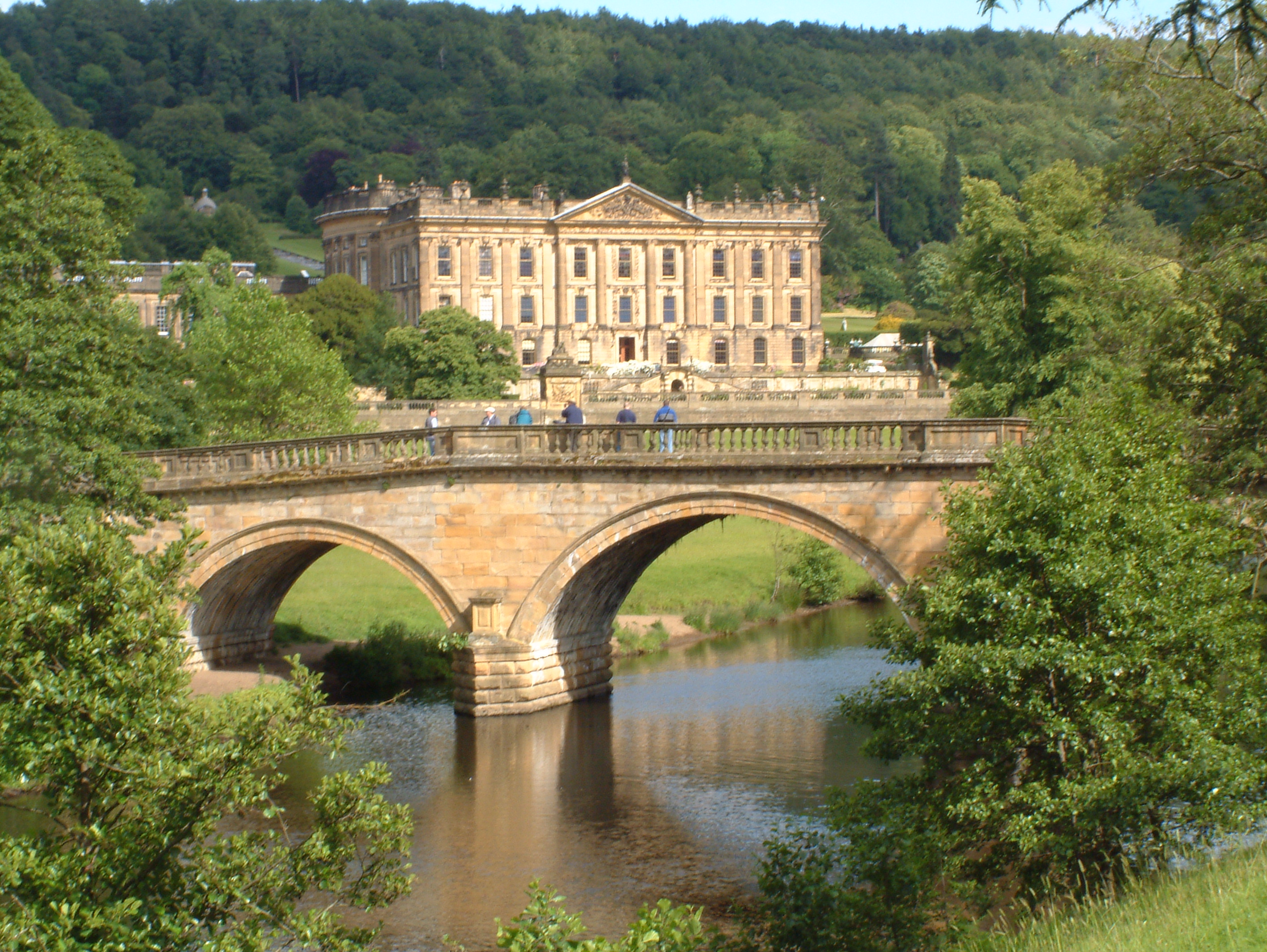
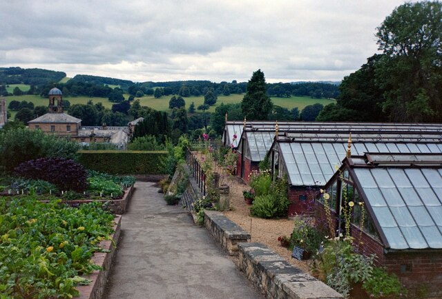
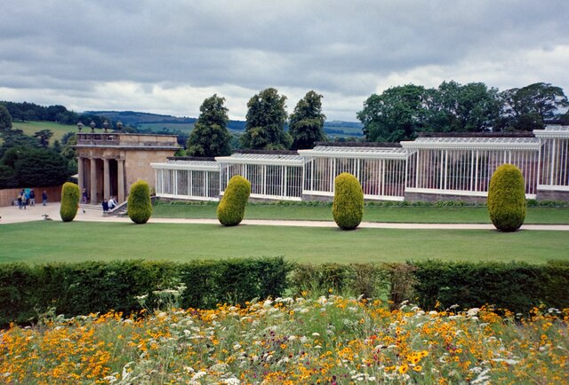
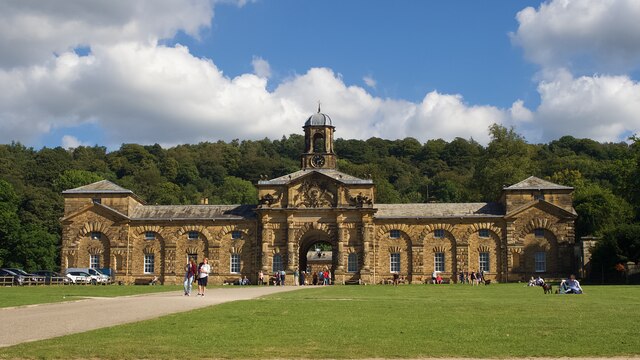
Chatsworth House

Chatsworth House is a stately home in the Derbyshire Dales, 4 miles (6.4 km) north-east of Bakewell and 9 miles (14 km) west of Chesterfield, England....

Beeley

Beeley is a village and civil parish in northern Derbyshire, England. Located near Bakewell in the Derbyshire Dales, it is situated on the B6012 road,...

Hob Hurst's House

Hob Hurst's House is a Bronze Age barrow on Beeley Moor near Bakewell in Derbyshire. It is unique in that instead of the normal round shape, Hob Hurst...

St Peter's Church, Edensor

St Peter's Church, Edensor, is a Grade I listed church in Edensor, Derbyshire. St Peter's is the closest parish church in the Church of England to Chatsworth...

Lees Priory

Lees Priory is a former Augustinian Priory located in Derbyshire, United Kingdom. == History == Lees Priory was located near to Chatsworth House, in an...

Nearby Amenities

Located within 500m of 53.216578,-1.5982281
Barrier: stile
Material: stone
Steps: 6
Stile: stepover
Lat/Long: 53.2129346/-1.5943735
Barrier: stile
Foot: yes
Material: stone
Source: survey;bing
Steps: 2
Stile: stepover
Lat/Long: 53.2125439/-1.5960057
Barrier: stile
Foot: yes
Material: stone
Source: survey;gps
Stile: squeezer
Lat/Long: 53.2125072/-1.5963
Barrier: stile
Foot: yes
Material: stone
Source: survey;gps
Stile: squeezer
Lat/Long: 53.2123097/-1.5963307
Barrier: kissing_gate
Lat/Long: 53.213036/-1.5943446
Barrier: kissing_gate
Lat/Long: 53.2175801/-1.5947433
Barrier: kissing_gate
Source: survey;gps
Lat/Long: 53.2129549/-1.594392
Barrier: kissing_gate
Source: survey;gps
Lat/Long: 53.213005/-1.5943569
Barrier: stile
Material: stone
Source: survey;gps
Stile: stepover
Lat/Long: 53.2184637/-1.5965537
Welcome to Stand Wood
Hiking: yes
Information: map
Map Type: topo
Tourism: information
Lat/Long: 53.2185516/-1.5966003
The data included in this document is from www.openstreetmap.org. The data is made available under ODbL.

Have you been to Doe Wood?

Leave your review of Doe Wood below (or comments, questions and feedback).