Dingle Wood
Wood, Forest in Derbyshire Derbyshire Dales
England
Dingle Wood
Dingle Wood, located in the heart of Derbyshire, is a serene and captivating forest that spans over a vast area. Nestled within the picturesque Peak District National Park, this woodland holds a significant place in the region's natural beauty. The wood is easily accessible, situated near the village of Dingle, and offers a tranquil escape from the bustling city life.
Dingle Wood is characterized by its diverse range of tree species, including oak, beech, birch, and ash, which create a stunning canopy overhead, providing shade and shelter for the flora and fauna that thrive within its bounds. The forest floor is adorned with a rich carpet of native wildflowers, such as bluebells, primroses, and foxgloves, adding a splash of color to the lush green surroundings.
Visitors to Dingle Wood can enjoy a myriad of activities amidst the natural splendor it offers. Hiking and walking trails meander through the forest, allowing explorers to immerse themselves in its tranquility while observing the abundant wildlife. Birdwatchers will delight in spotting various species, including woodpeckers, owls, and songbirds, which find solace in the woodland's peaceful atmosphere.
Furthermore, Dingle Wood is a popular spot for nature enthusiasts and photographers, who are captivated by its ethereal beauty during different seasons. Autumn brings a burst of vibrant orange and gold hues as the leaves change color, while winter blankets the wood in a serene stillness, creating a magical winter wonderland.
Dingle Wood, with its enchanting ambiance and natural wonders, undoubtedly stands as a cherished gem within Derbyshire's landscape, inviting visitors to revel in its timeless charm and reconnect with nature.
If you have any feedback on the listing, please let us know in the comments section below.
Dingle Wood Images
Images are sourced within 2km of 53.2124/-1.6042269 or Grid Reference SK2668. Thanks to Geograph Open Source API. All images are credited.


Dingle Wood is located at Grid Ref: SK2668 (Lat: 53.2124, Lng: -1.6042269)
Administrative County: Derbyshire
District: Derbyshire Dales
Police Authority: Derbyshire
What 3 Words
///cabbies.trainer.noted. Near Baslow, Derbyshire
Nearby Locations
Related Wikis

Chatsworth, Derbyshire
Chatsworth is a civil parish in Derbyshire, England, within the area of the Derbyshire Dales and the Peak District National Park. The population is largely...
Beeley
Beeley is a village and civil parish in northern Derbyshire, England. Located near Bakewell in the Derbyshire Dales, it is situated on the B6012 road,...

Column of the Temple of Poseidon at Chatsworth
The column of the Temple of Poseidon is one of the surviving features from the period of the sixth Duke of Devonshire in the Chatsworth House garden. Surmounted...

Emperor Fountain
The Emperor Fountain is a 19th-century fountain in the grounds of Chatsworth House, Derbyshire, England. The Canal Pond in which the fountain stands is...

Lees Priory
Lees Priory is a former Augustinian Priory located in Derbyshire, United Kingdom. == History == Lees Priory was located near to Chatsworth House, in an...
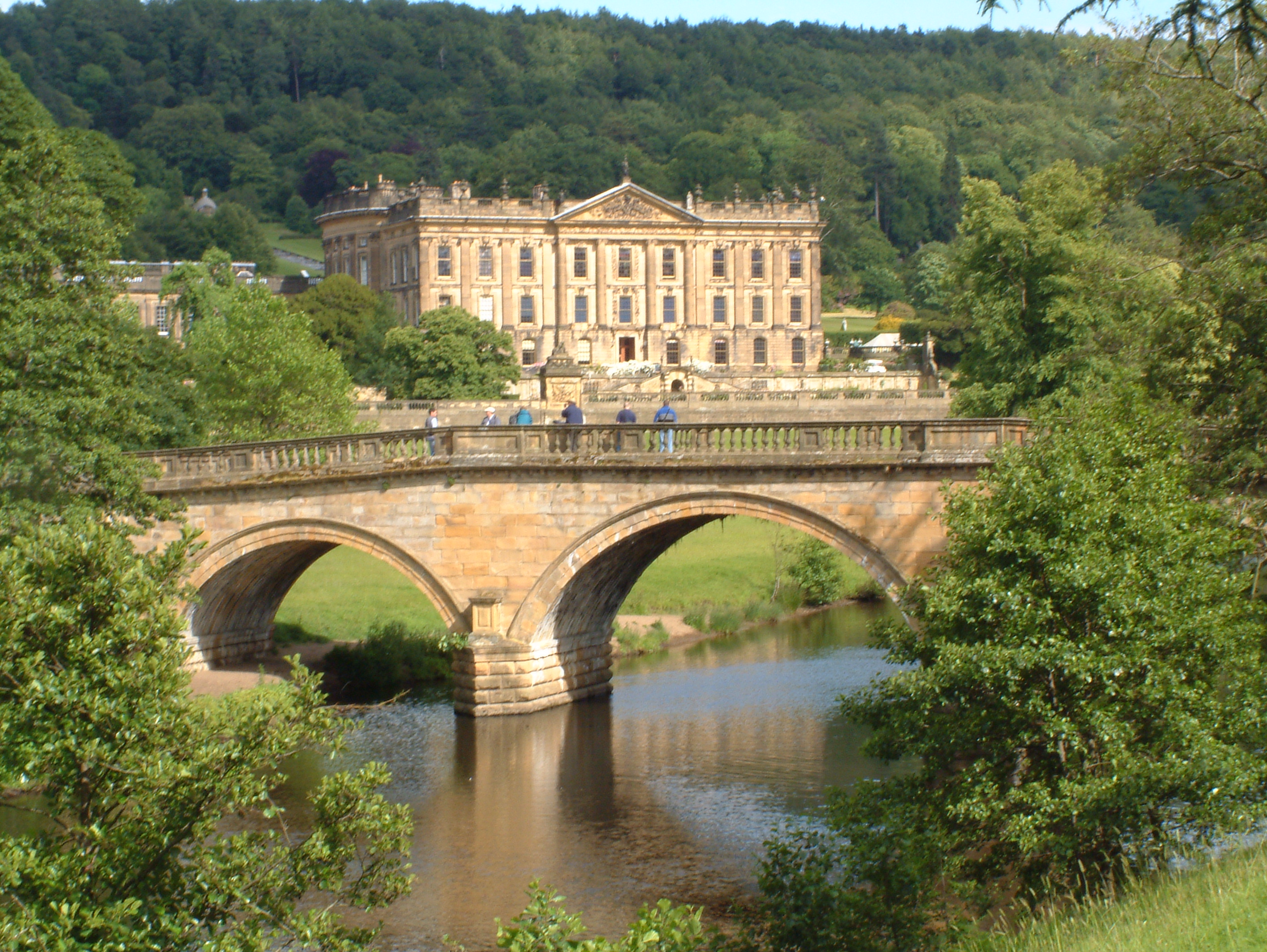
Chatsworth House
Chatsworth House is a stately home in the Derbyshire Dales, 4 miles (6.4 km) north-east of Bakewell and 9 miles (14 km) west of Chesterfield, England....

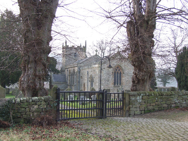
St Peter's Church, Edensor
St Peter's Church, Edensor, is a Grade I listed church in Edensor, Derbyshire. St Peter's is the closest parish church in the Church of England to Chatsworth...
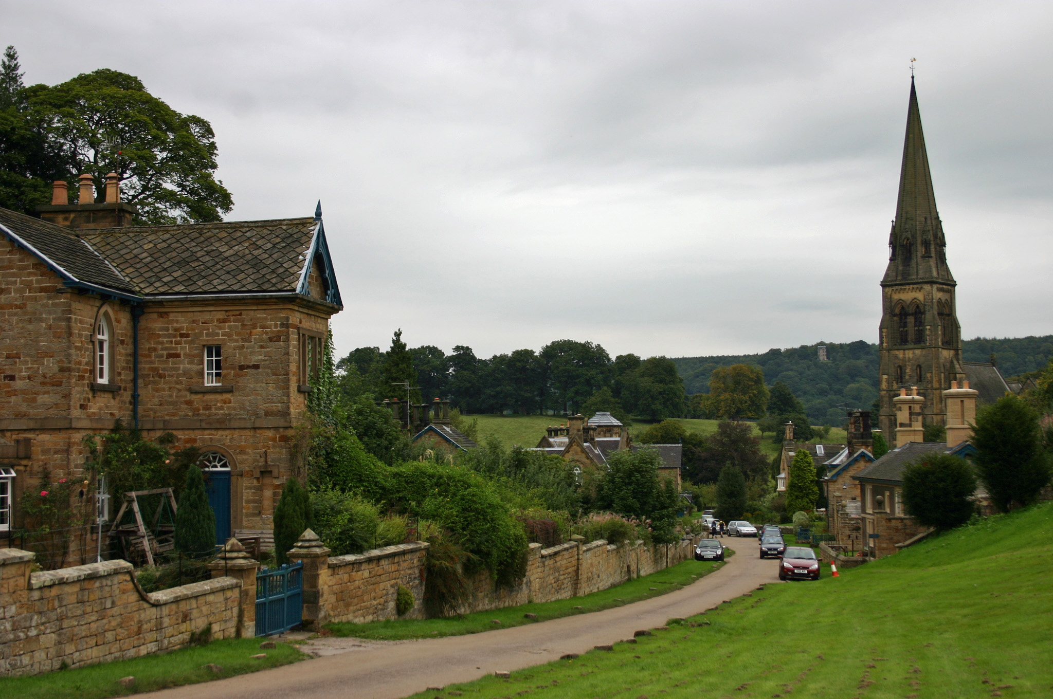
Edensor
Edensor (pronounced ) is a village and civil parish in Derbyshire, England. The population of the civil parish at the 2011 census was 145.Much of the...
Nearby Amenities
Located within 500m of 53.2124,-1.6042269Have you been to Dingle Wood?
Leave your review of Dingle Wood below (or comments, questions and feedback).