Gardom's Coppice
Wood, Forest in Derbyshire Derbyshire Dales
England
Gardom's Coppice

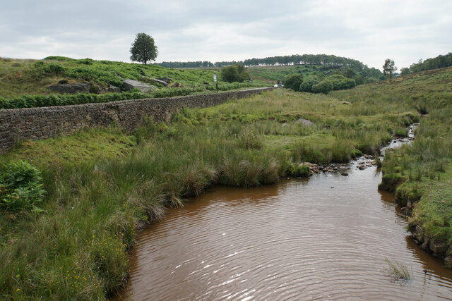
Gardom's Coppice is a woodland area located in Derbyshire, England. Covering an area of approximately 1.5 hectares, it is situated on the eastern edge of the Peak District National Park. The coppice is named after the nearby village of Gardom, which is known for its picturesque surroundings and rich history.
The woodland is primarily composed of oak trees, with some birch and ash trees scattered throughout. The dense canopy provides a haven for a variety of wildlife, including birds, insects, and small mammals. The forest floor is carpeted with a diverse range of flora, such as bluebells, wood anemones, and ferns, adding to the enchanting atmosphere of the coppice.
Gardom's Coppice has a long history of human habitation and use. Archaeological evidence suggests that the woodland has been utilized by humans for thousands of years. In fact, a Neolithic stone circle known as the "Nine Stones" is located within the woodland, indicating its importance as a gathering place in ancient times.
Today, the woodland is a popular destination for nature lovers, hikers, and photographers. There are several well-maintained trails that wind through the coppice, allowing visitors to explore the beauty of the area at their own pace. Additionally, the woodland is a designated Site of Special Scientific Interest (SSSI), highlighting its ecological significance.
Overall, Gardom's Coppice offers a serene and captivating experience for those seeking to immerse themselves in the natural beauty of Derbyshire's woodlands.
If you have any feedback on the listing, please let us know in the comments section below.
Gardom's Coppice Images
Images are sourced within 2km of 53.249339/-1.59969 or Grid Reference SK2672. Thanks to Geograph Open Source API. All images are credited.


Gardom's Coppice is located at Grid Ref: SK2672 (Lat: 53.249339, Lng: -1.59969)
Administrative County: Derbyshire
District: Derbyshire Dales
Police Authority: Derbyshire
What 3 Words
///admit.edge.advantage. Near Baslow, Derbyshire
Nearby Locations
Related Wikis

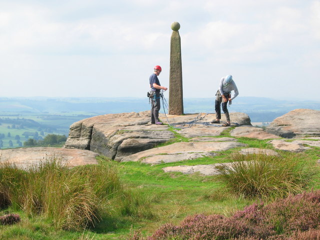
Gardom's Edge
Gardom's Edge is a rocky outcrop near Baslow in Derbyshire, England. The shelf between Gardom's Edge and Birchen Edge is now moorland used for grazing...
Birchen Edge
Birchen Edge is a gritstone rock face in the Peak District, England, popular with walkers and novice climbers as most of the climbing routes are in the...

Baslow
Baslow is a village in Derbyshire, England, in the Peak District, situated between Sheffield and Bakewell, just over 1 mile (1.6 km) north of Chatsworth...

St Anne's Church, Baslow
St. Anne’s Church, Baslow, is a Grade II* listed parish church in Baslow, England. == History == The church dates from the thirteenth century. It was subject...

Baslow Hall
Baslow Hall is a Grade II listed building in Baslow, Derbyshire. == History == Baslow Hall, just off Calver Road, was built in 1907 to the designs of the...

Cliff College
Cliff College is a Christian theological college in Calver, Derbyshire, that teaches Biblical Theology at the undergraduate level and a number of mission...
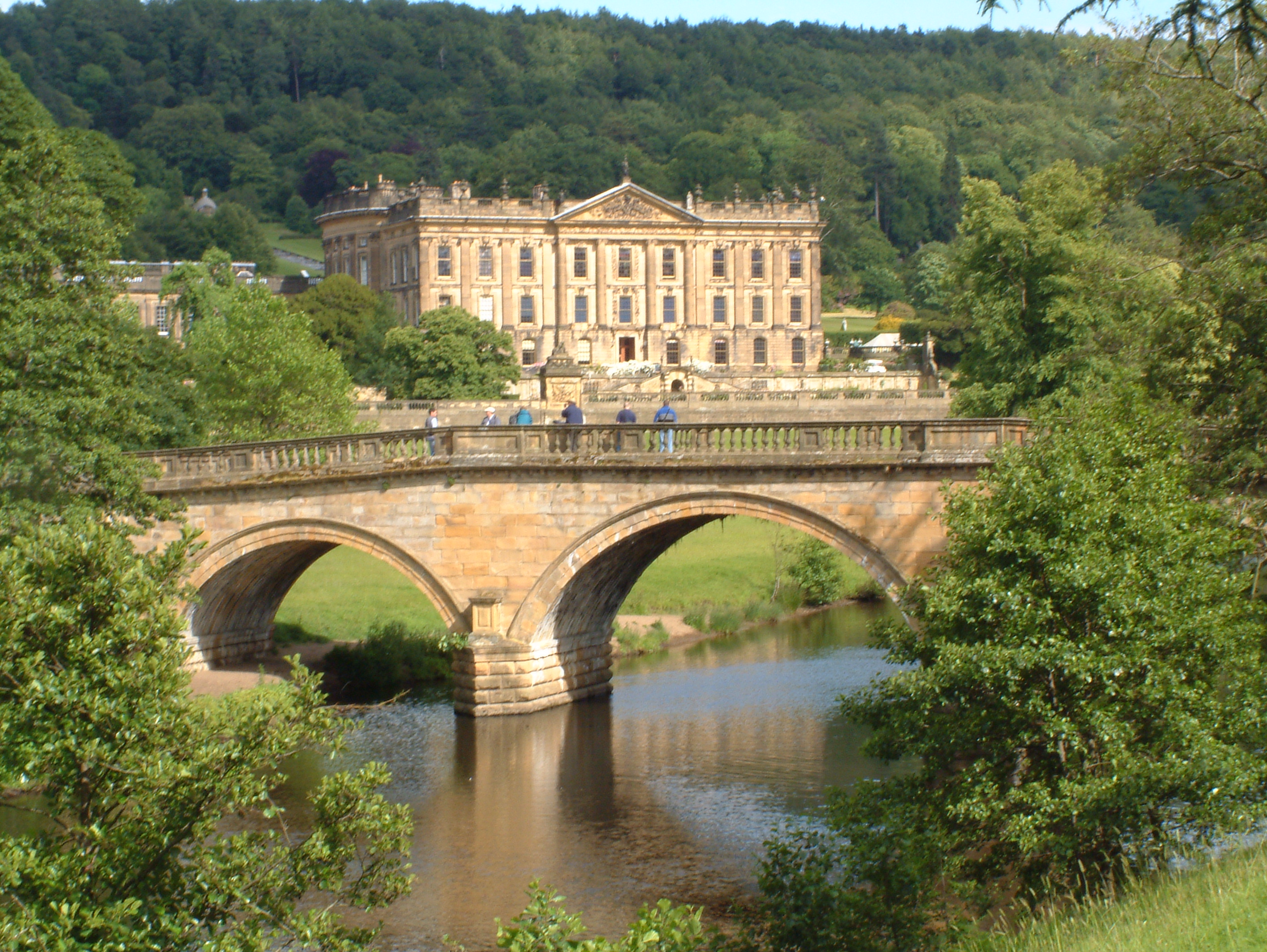
Chatsworth House
Chatsworth House is a stately home in the Derbyshire Dales, 4 miles (6.4 km) north-east of Bakewell and 9 miles (14 km) west of Chesterfield, England....

Curbar
Curbar is a village and civil parish in the Derbyshire Dales district of Derbyshire, England. The population based on the 2011 Census was 417. Curbar is...
Nearby Amenities
Located within 500m of 53.249339,-1.59969Have you been to Gardom's Coppice?
Leave your review of Gardom's Coppice below (or comments, questions and feedback).