Baldfield Covert

Wood, Forest in Derbyshire South Derbyshire

England

Baldfield Covert

Etwall to Derby cycle track On a bright warm morningin May, the May blossom (Hawthorn) is showing up well all along the cycle track.
Etwall to Derby cycle track Credit: Malcolm Neal

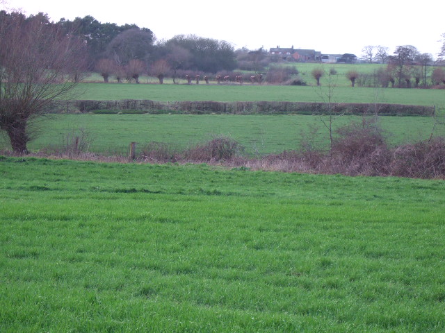
Baldfield Covert is a captivating woodland located in Derbyshire, England. Spanning an area of approximately 50 hectares, this enchanting forest is a haven for nature enthusiasts and outdoor adventurers alike. The covert is situated in the southern part of the county, near the village of Baldfield, and offers a tranquil escape from the hustle and bustle of everyday life.

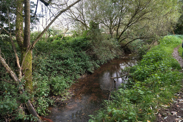
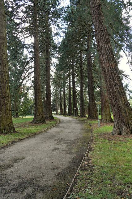
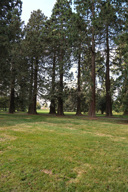
The woodland is predominantly composed of broadleaf trees, including oak, beech, and birch, which create a diverse and rich ecosystem. The lush undergrowth is home to a variety of flora, such as bluebells and primroses, which paint the forest floor with vibrant colors during the spring months. This biodiversity attracts an array of wildlife, including deer, badgers, and a plethora of bird species.

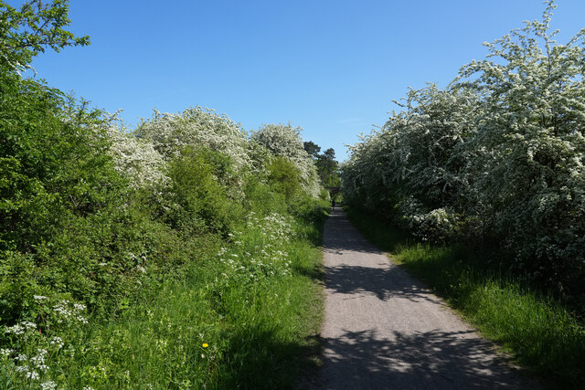
Visitors to Baldfield Covert can explore the forest through a network of well-maintained footpaths that wind their way through the trees. These paths allow for pleasant walks and provide opportunities to observe the local flora and fauna. The woodland also features a small picnic area, where visitors can enjoy a peaceful lunch surrounded by nature's beauty.

Baldfield Covert is managed by the local authorities, who have implemented sustainable practices to preserve its natural charm. Regular maintenance and conservation efforts ensure the forest remains a thriving habitat for its inhabitants and a scenic destination for visitors.

Overall, Baldfield Covert is a hidden gem in Derbyshire, offering a serene and picturesque woodland experience for all who venture into its depths.

If you have any feedback on the listing, please let us know in the comments section below.

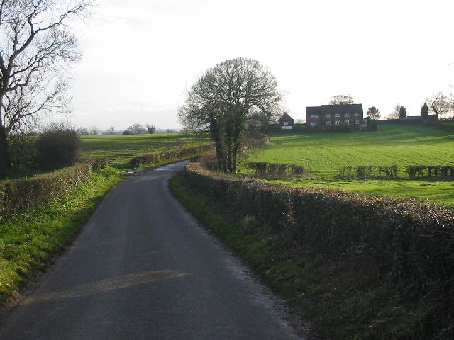
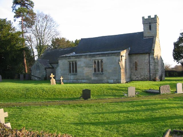
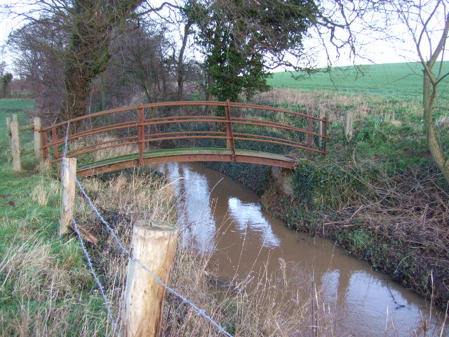
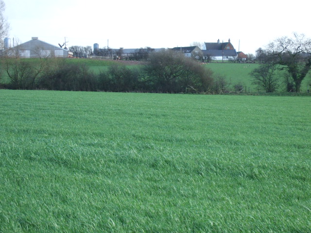
Baldfield Covert Images

Images are sourced within 2km of 52.899033/-1.6188448 or Grid Reference SK2533. Thanks to Geograph Open Source API. All images are credited.

Etwall to Derby cycle track On a bright warm morningin May, the May blossom (Hawthorn) is showing up well all along the cycle track.
Etwall to Derby cycle track
On a bright warm morningin May, the May blossom (Hawthorn) is showing up well all along the cycle track.
Etwall Brook On the edge of Ashe Hall, now the Tara Kadampa Meditation Centre, is the Etwall Brook which flows not unsurprisingly towards Etwall.
Etwall Brook
On the edge of Ashe Hall, now the Tara Kadampa Meditation Centre, is the Etwall Brook which flows not unsurprisingly towards Etwall.
Barley Fields This is the gated entrance to Barley Fields Equestrian Centre.
Barley Fields
This is the gated entrance to Barley Fields Equestrian Centre.
Ashe Hall Once the home of the Buxton family and has been a special school, though now it is the Tara Kadampa Meditation Centre. Again it has been formerly the Tara Buddhist Centre but I do not know when this final name change happened.
Ashe Hall
Once the home of the Buxton family and has been a special school, though now it is the Tara Kadampa Meditation Centre. Again it has been formerly the Tara Buddhist Centre but I do not know when this final name change happened.
The drive to Ashe Hall The trees on either side of the drive are Californean Redwoods (Sequoia). The bark of these trees is very soft and many creatures have been burrowing into it to a lesser or greater extent.
The drive to Ashe Hall
The trees on either side of the drive are Californean Redwoods (Sequoia). The bark of these trees is very soft and many creatures have been burrowing into it to a lesser or greater extent.
The giant Redwood trees lining the drive Taken a little before <a href="https://www.geograph.org.uk/photo/7595454">SK2532 : The drive to Ashe Hall</a> from approximately 90 degrees to the side showing the pairs of trees lining the drive to the Buddhist Meditation Centre. They have a very good cafe and it gets a lot of business.
The giant Redwood trees lining the drive
Taken a little before SK2532 : The drive to Ashe Hall from approximately 90 degrees to the side showing the pairs of trees lining the drive to the Buddhist Meditation Centre. They have a very good cafe and it gets a lot of business.
Hennisfield Farm This modern looking egg farm is just to the east of Sutton on the Hill.
Hennisfield Farm
This modern looking egg farm is just to the east of Sutton on the Hill.
Fields Farm This cattle farm is on Ash Lane just to the east of Sutton on the Hill.
Fields Farm
This cattle farm is on Ash Lane just to the east of Sutton on the Hill.
Ashefields Nursing Home
Park Farm
Park Farm
Tara Buddhist Centre - Ashe Hall Established by meditation Master Venerable Geshe Kelsang Gyatso in Derbyshire in 1983 Tara Centre is a Kadampa Buddhist college and meditation centre, nestled in 38 acres of lawns and woods at Ashe Hall.  There is also a fine tea room where refreshment can be enjoyed overlooking the lawns after a hard day picking off Geograph squares.
Tara Buddhist Centre - Ashe Hall
Established by meditation Master Venerable Geshe Kelsang Gyatso in Derbyshire in 1983 Tara Centre is a Kadampa Buddhist college and meditation centre, nestled in 38 acres of lawns and woods at Ashe Hall. There is also a fine tea room where refreshment can be enjoyed overlooking the lawns after a hard day picking off Geograph squares.
Railway Bridge on Etwall to Mickleover Track This railway bridge used to carry the line from Burton-on-Trent to Derby Friargate station.  The line closed to passenger traffic in the 1960s but remained open for a while as a test track.  The line has now gone but the trackbed now forms the Etwall to Mickleover cycle way.
Railway Bridge on Etwall to Mickleover Track
This railway bridge used to carry the line from Burton-on-Trent to Derby Friargate station. The line closed to passenger traffic in the 1960s but remained open for a while as a test track. The line has now gone but the trackbed now forms the Etwall to Mickleover cycle way.
Lane near Rookhills View of Rookhills on the quiet lane between the villages of Lees and Dalbury.
Lane near Rookhills
View of Rookhills on the quiet lane between the villages of Lees and Dalbury.
Dalbury Church All Saints church at Dalbury is one of the 'Longford 8'.  This is a grouping of a number of small parishes that are located in the rural areas to the west of Derby.
Dalbury Church
All Saints church at Dalbury is one of the 'Longford 8'. This is a grouping of a number of small parishes that are located in the rural areas to the west of Derby.
Hilton Fields Lane The back lane to Hilton Fields Farm.
Hilton Fields Lane
The back lane to Hilton Fields Farm.
Dalbury Brook The unusual footbridge over the brook.
Dalbury Brook
The unusual footbridge over the brook.
Highfields Farm Taken from the path near the brook.
Highfields Farm
Taken from the path near the brook.
Farmland The willow trees in the middle distance have been harvested for basket making.
Farmland
The willow trees in the middle distance have been harvested for basket making.
Show me another place!

Baldfield Covert is located at Grid Ref: SK2533 (Lat: 52.899033, Lng: -1.6188448)

Administrative County: Derbyshire

District: South Derbyshire

Police Authority: Derbyshire

What 3 Words

///dabbling.outlawing.rests. Near Etwall, Derbyshire

Related Wikis

Nearby Amenities

Located within 500m of 52.899033,-1.6188448
Barrier: stile
Steps: 1
Stile: stepover
Lat/Long: 52.8989072/-1.6139817
Barrier: stile
Steps: 2
Stile: stepover
Lat/Long: 52.9007051/-1.6210317
Barrier: stile
Steps: 2
Stile: stepover
Lat/Long: 52.9006245/-1.6204849
Barrier: stile
Steps: 2
Stile: stepover
Lat/Long: 52.9016089/-1.6214253
Barrier: stile
Step Count: 2
Stile: stepover
Lat/Long: 52.9024747/-1.6181533
Barrier: stile
Step Count: 2
Stile: stepover
Lat/Long: 52.9025254/-1.6158516
The data included in this document is from www.openstreetmap.org. The data is made available under ODbL.

Have you been to Baldfield Covert?

Leave your review of Baldfield Covert below (or comments, questions and feedback).