Arbourfield Covert
Wood, Forest in Derbyshire South Derbyshire
England
Arbourfield Covert
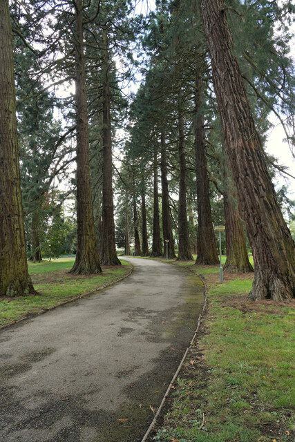
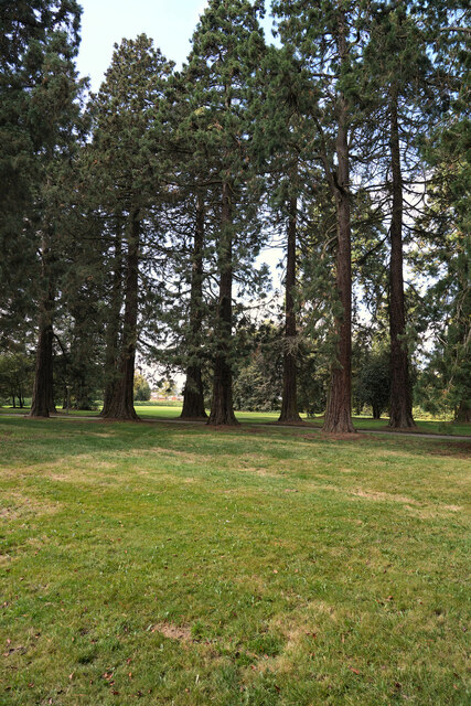
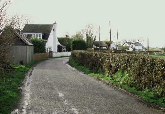
Arbourfield Covert, located in Derbyshire, is a picturesque woodland area characterized by its dense forest and lush greenery. Spanning approximately 200 hectares, this natural haven is a popular destination for nature enthusiasts and hikers, offering a tranquil escape from the hustle and bustle of city life.
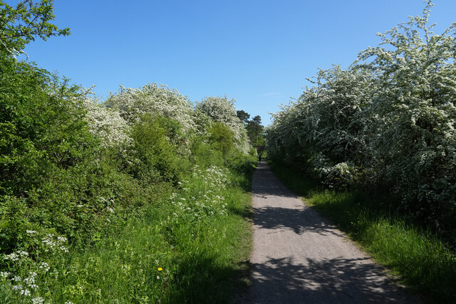
The woodland is predominantly composed of various species of trees, including oak, birch, and beech, creating a diverse and thriving ecosystem. The forest floor is adorned with an array of wildflowers, providing a vibrant and colorful backdrop to the serene surroundings.
Arbourfield Covert is home to a diverse range of wildlife, making it a haven for animal lovers and birdwatchers. Visitors may catch a glimpse of deer, foxes, badgers, and a variety of bird species, including woodpeckers, owls, and songbirds.
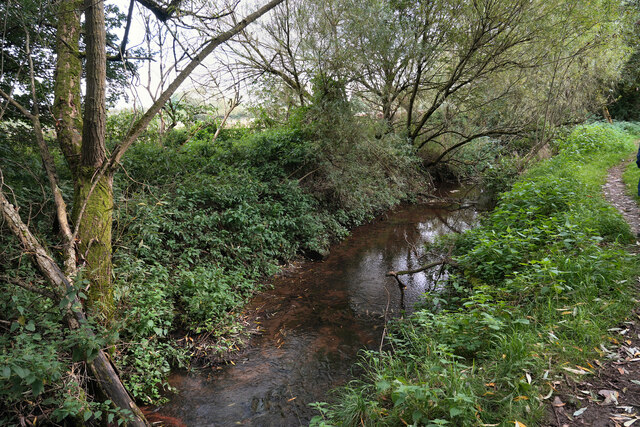
The woodland offers a network of well-maintained trails, allowing visitors to explore the area at their own pace. These trails, varying in difficulty and length, cater to both casual walkers and experienced hikers. Along the way, visitors can enjoy breathtaking views of the surrounding countryside, as well as discover hidden streams and ponds nestled within the forest.
As a protected area, Arbourfield Covert is managed by local authorities to preserve its natural beauty and biodiversity. Conservation efforts focus on maintaining a sustainable balance between human visitors and the wildlife that call the woodland home.
Overall, Arbourfield Covert is a natural gem in Derbyshire, offering a peaceful retreat for those seeking solace in nature's embrace.
If you have any feedback on the listing, please let us know in the comments section below.
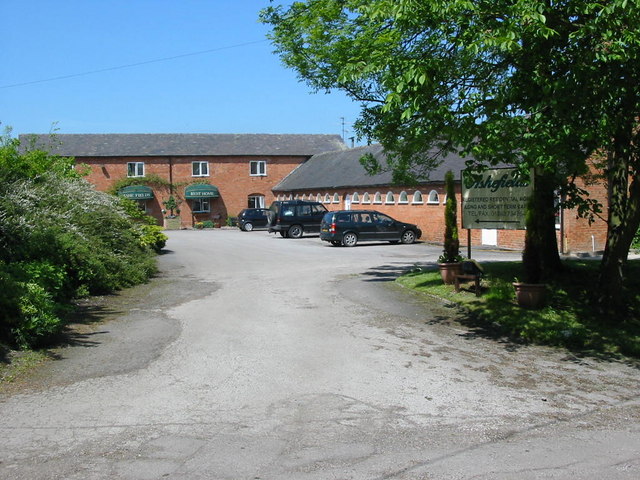
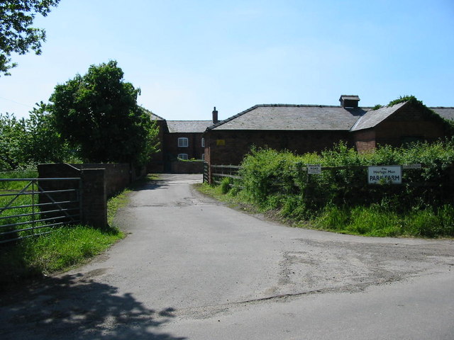
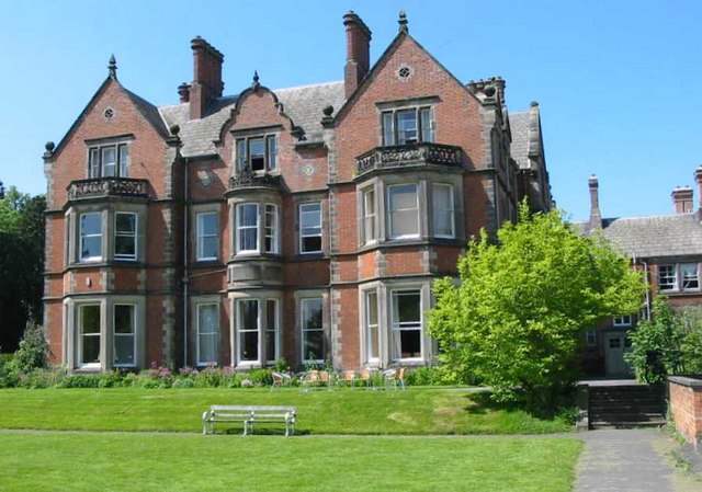
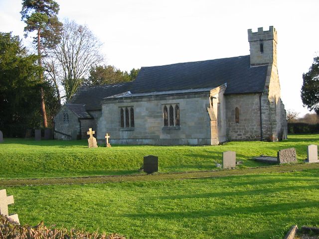
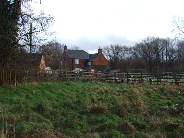
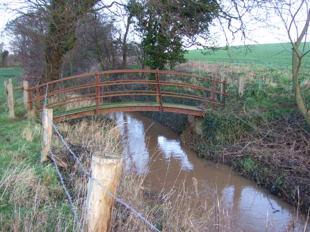
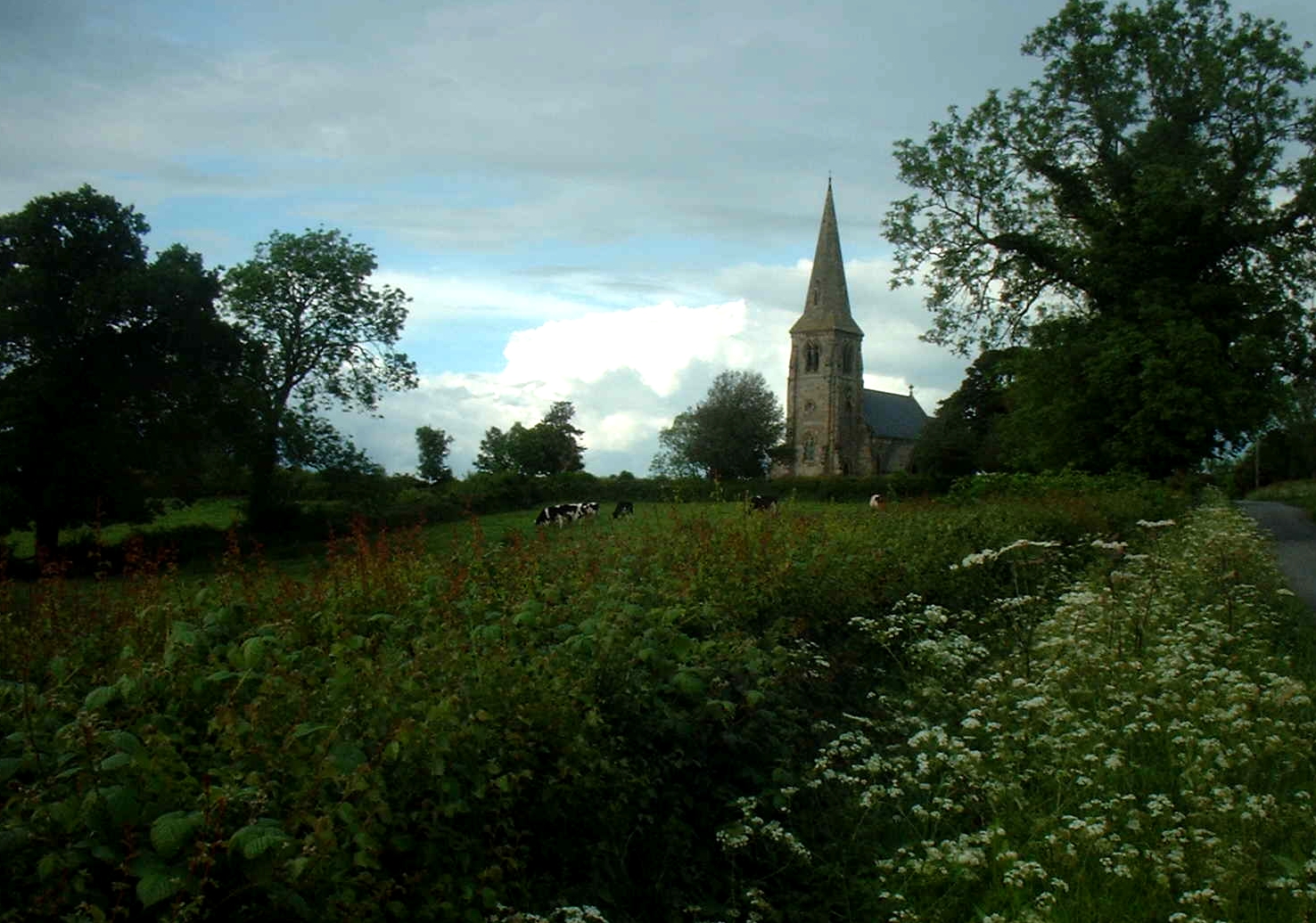
Arbourfield Covert Images
Images are sourced within 2km of 52.897994/-1.6286503 or Grid Reference SK2533. Thanks to Geograph Open Source API. All images are credited.


Arbourfield Covert is located at Grid Ref: SK2533 (Lat: 52.897994, Lng: -1.6286503)
Administrative County: Derbyshire
District: South Derbyshire
Police Authority: Derbyshire
What 3 Words
///pairings.newly.generally. Near Etwall, Derbyshire
Nearby Locations
Related Wikis

Ash, Derbyshire
Ash is a small civil parish in the South Derbyshire district of Derbyshire, with a population of 98 (2001 census). The parish includes scattered hamlets...

All Saints' Church, Dalbury
All Saints’ Church, Dalbury is a Grade II* listed parish church in the Church of England in Dalbury Lees, Derbyshire. == History == The church dates from...
Sutton on the Hill
Sutton-on-the-Hill is a parish in south Derbyshire eight miles (13 km) west of Derby. The population of the civil parish taken at the 2011 Census was 123...
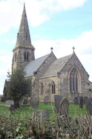
St Michael's Church, Sutton-on-the-Hill
St Michael's Church, Sutton-on-the-Hill is a Grade II* listed parish church in the Church of England in Sutton on the Hill, Derbyshire. == History... ==

Dalbury Lees
Dalbury Lees is a parish in south Derbyshire. The population of the civil parish as taken at the 2011 Census (including Trusley) was 306. It is about...

Trusley
Trusley is a parish and small village in South Derbyshire. As the civil parish population is only minimal details are included in the civil parish of Dalbury...
Burntheath
Burntheath is a hamlet in Derbyshire, England. It is located 1 mile north of Hilton, and adjacent to the A50 road.

Etwall Hospital
Etwall Hospital was a 94-bed rehabilitation centre in Etwall, Derbyshire, England. == History == The hospital was built around almshouses for six poor...
Nearby Amenities
Located within 500m of 52.897994,-1.6286503Have you been to Arbourfield Covert?
Leave your review of Arbourfield Covert below (or comments, questions and feedback).