Arnold
Settlement in Nottinghamshire Gedling
England
Arnold
Arnold is a suburban town located in the county of Nottinghamshire, in the East Midlands region of England. Situated just 4 miles north of the city of Nottingham, Arnold is part of the Greater Nottingham area and has a population of around 37,000 people.
The town has a rich history, with evidence of settlement dating back to the Roman times. Over the years, Arnold has transformed from a small village into a bustling town, offering a mix of residential, commercial, and recreational facilities.
Arnold boasts a vibrant town center, with a variety of shops, restaurants, and cafes catering to the needs of its residents. The town is also home to several supermarkets and retail parks, providing ample shopping opportunities. Additionally, Arnold hosts regular markets, attracting locals and visitors alike.
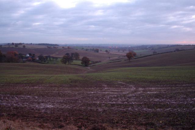
Nature enthusiasts can explore the nearby countryside, as Arnold is surrounded by beautiful green spaces and parks. The town is famous for its parkland, including the popular Arnot Hill Park, which features landscaped gardens, a lake, and a museum. Other notable green areas include Bestwood Country Park and Gedling Country Park, both offering scenic walking trails and wildlife habitats.
Arnold benefits from excellent transport links, with reliable bus services connecting the town to Nottingham and surrounding areas. The town also has easy access to major road networks, such as the A60 and A614, making it convenient for commuters.
In summary, Arnold is a thriving suburban town with a rich history, offering a wide range of amenities and recreational opportunities. Its proximity to Nottingham and its beautiful green spaces make it an attractive place to live or visit.
If you have any feedback on the listing, please let us know in the comments section below.
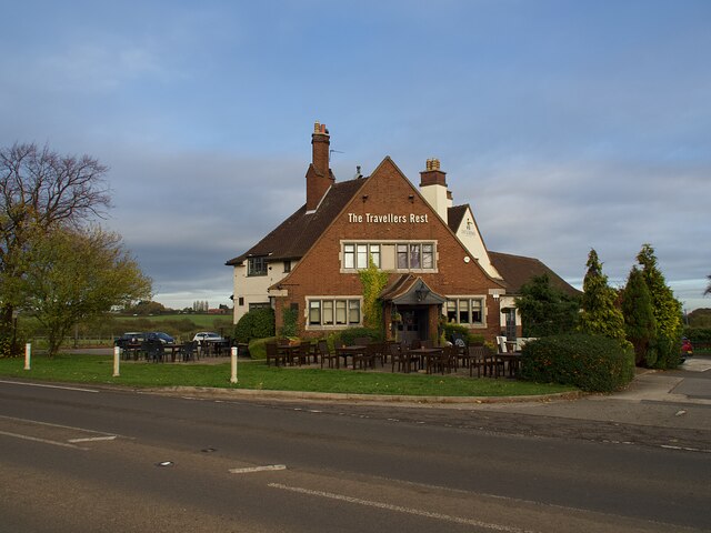
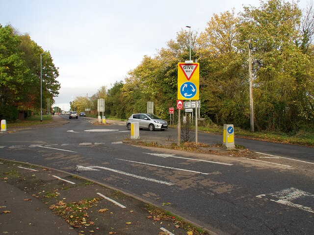
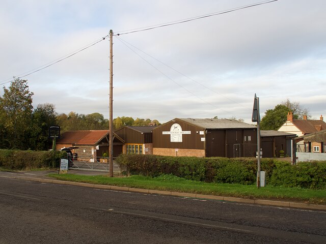
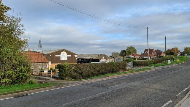
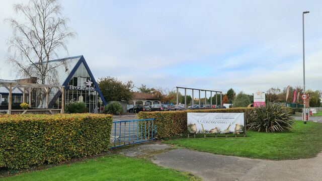
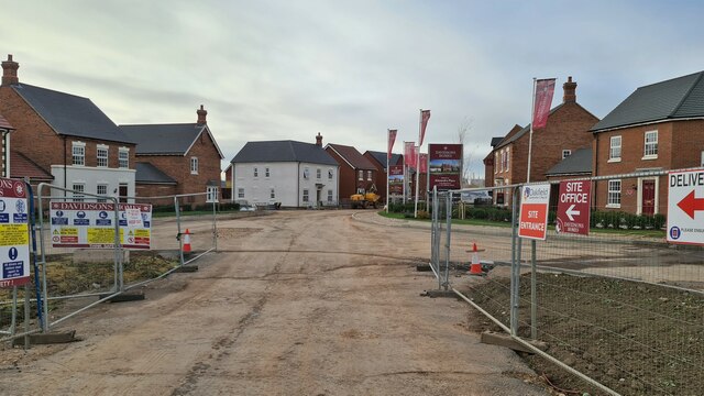
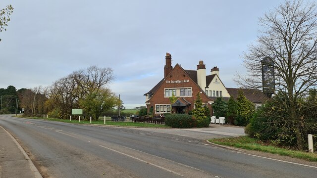
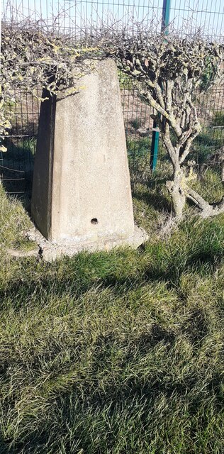
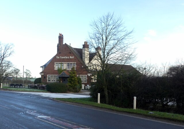
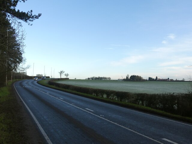
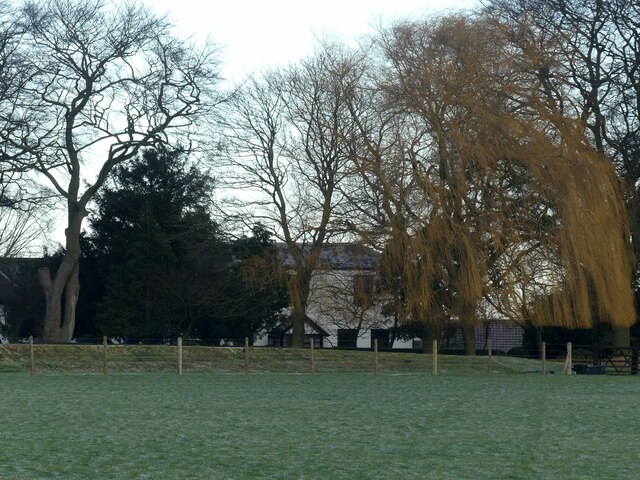
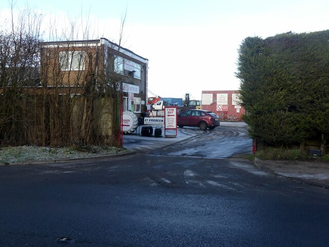
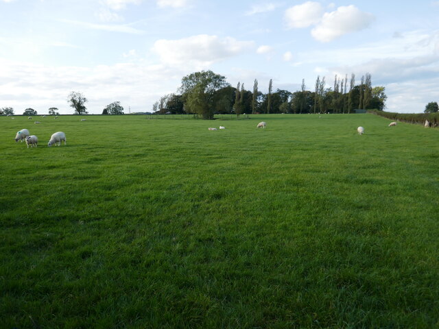
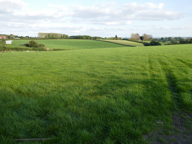
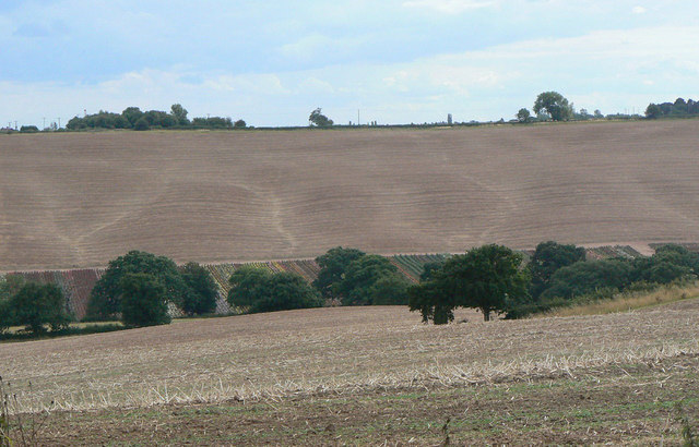
Arnold Images
Images are sourced within 2km of 53.009825/-1.119127 or Grid Reference SK5946. Thanks to Geograph Open Source API. All images are credited.
Arnold is located at Grid Ref: SK5946 (Lat: 53.009825, Lng: -1.119127)
Administrative County: Nottinghamshire
District: Gedling
Police Authority: Nottinghamshire
What 3 Words
///cover.clown.mixed. Near Arnold, Nottinghamshire
Nearby Locations
Related Wikis

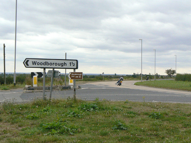
Killisick
Killisick is an area of the market town of Arnold in the ceremonial county of Nottinghamshire in the East Midlands of England. It also used to be a local...
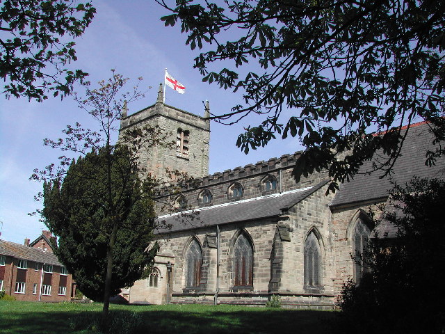
St Mary's Church, Arnold
St. Mary's Church is a parish church in Arnold, Nottinghamshire, England. Though there is no official founding date, it is estimated that the church dates...

Arnold, Nottinghamshire
Arnold () is a market town in the Borough of Gedling in the county of Nottinghamshire in the East Midlands of England. It is situated to the north-east...
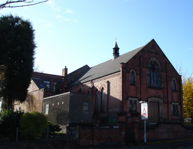
Cross Street Baptist Church
Cross Street Baptist Church is on Cross Street in Arnold, Nottinghamshire. == History == The original Baptist chapel on this site was built in 1825 by...

Redhill Academy
Redhill Academy is a secondary school and sixth form with academy status, situated on Redhill Road in Arnold, Nottinghamshire, England. The school has...

Redhill, Nottinghamshire
Redhill () is a small community forming part of the much larger town of Arnold in Nottinghamshire, England. It is approximately 4 miles (6.4 km) north...

Arnold Urban District
Arnold was an urban district in the English ceremonial county of Nottinghamshire from 1894 to 1974. It was created under the Local Government Act 1894...
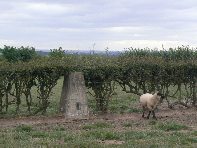
Dorket Head
Dorket Head is the name of the immediate area surrounding the junction of Lime Lane and Calverton Road in the town of Arnold, Nottinghamshire. It is the...
Nearby Amenities
Located within 500m of 53.009825,-1.119127Have you been to Arnold?
Leave your review of Arnold below (or comments, questions and feedback).