Sicily Clump
Wood, Forest in Wiltshire
England
Sicily Clump
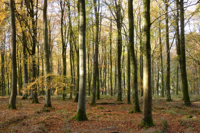
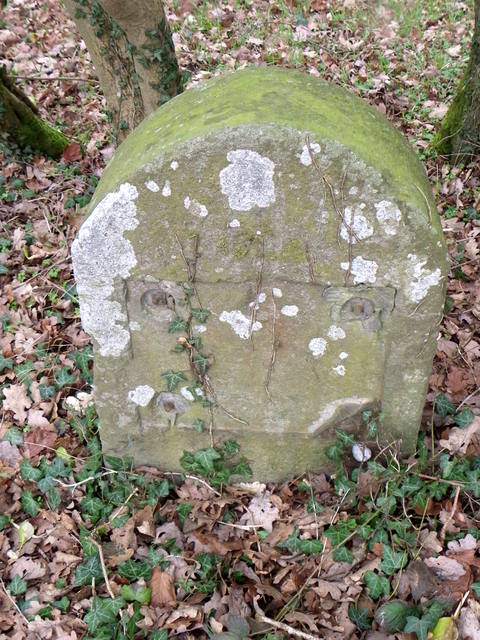
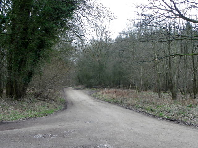
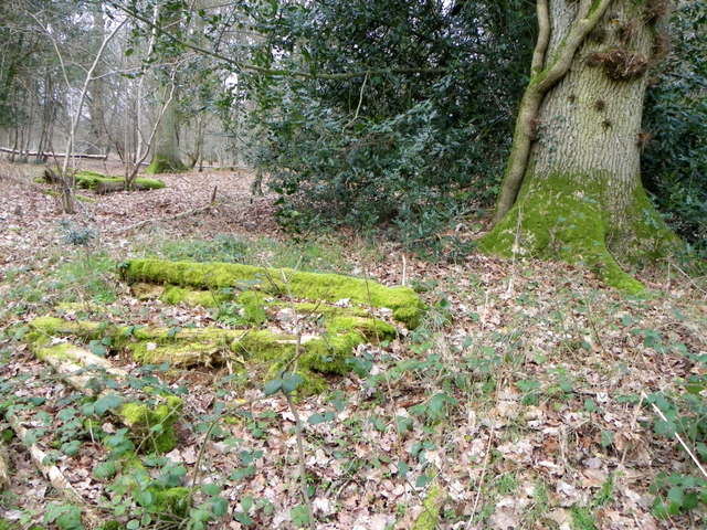
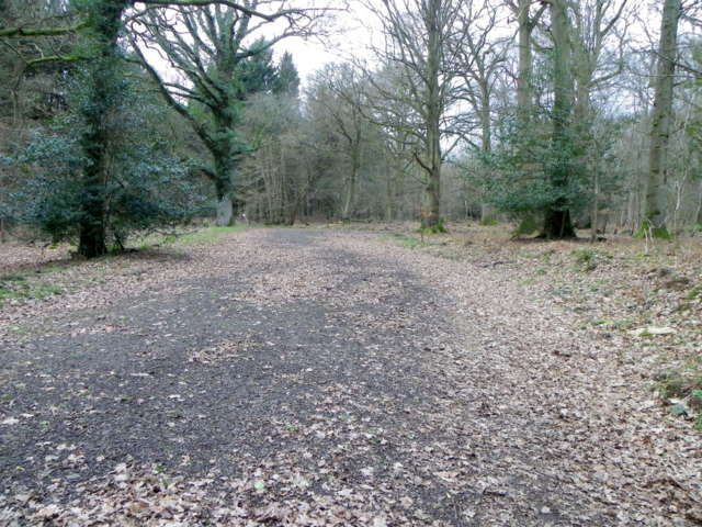
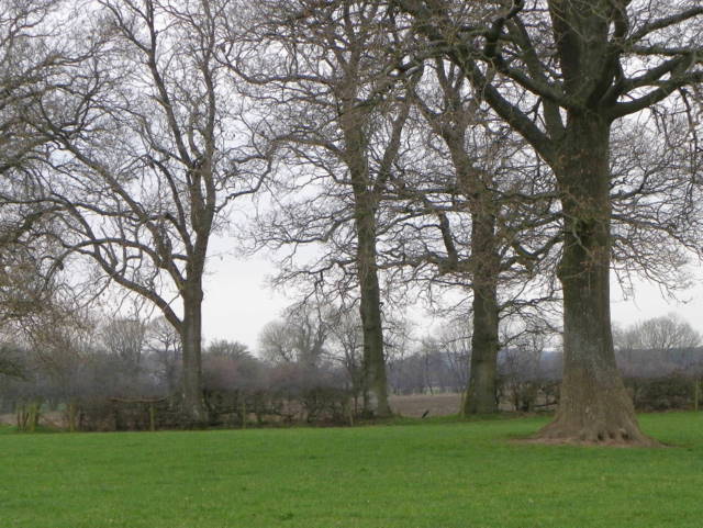
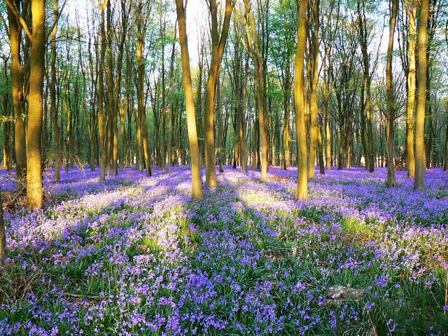
Sicily Clump, located in Wiltshire, England, is a beautiful and enchanting woodland area known for its dense forest and serene atmosphere. Spread across an area of approximately 200 acres, this natural treasure is a popular destination for nature lovers and outdoor enthusiasts.
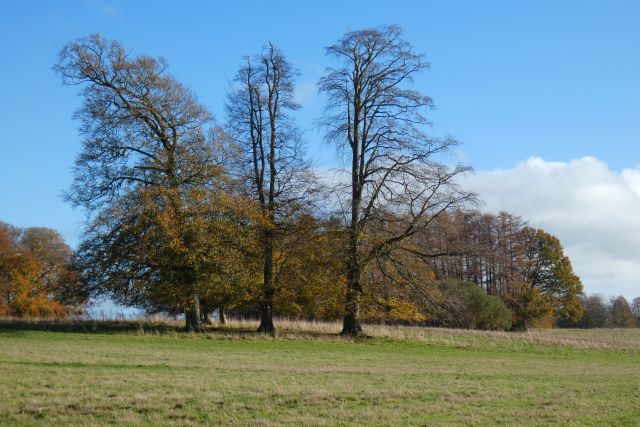
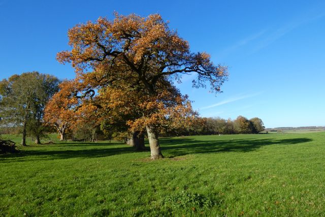
The clump is characterized by its diverse range of tree species, including oak, ash, beech, and birch, which create a rich and vibrant canopy that provides a haven for various woodland creatures and bird species. Walking through Sicily Clump, visitors can enjoy the peaceful sounds of birdsong and the rustling of leaves underfoot, immersing themselves in the wonders of nature.
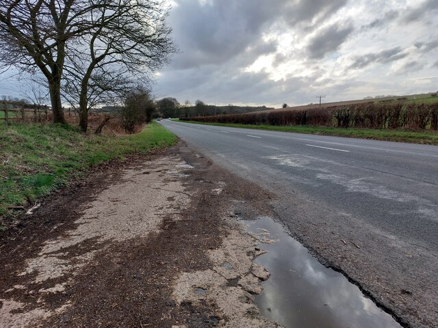
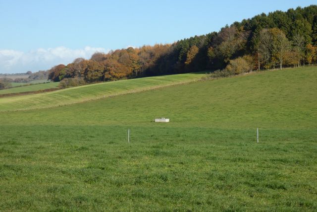
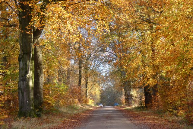
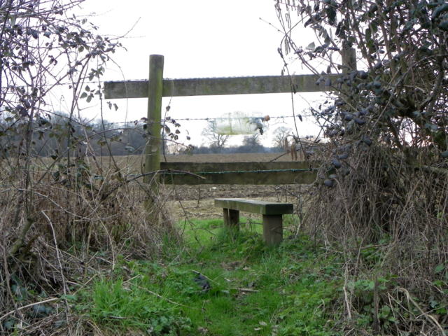
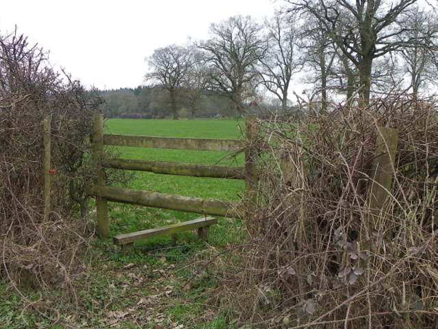
The woodland is crisscrossed by a network of well-maintained trails, allowing visitors to explore the clump at their own pace. These trails offer breathtaking views of the surrounding countryside and provide opportunities for leisurely strolls or more adventurous hikes. Additionally, Sicily Clump is home to a small stream, which adds to the overall tranquility of the area and creates a soothing ambiance.
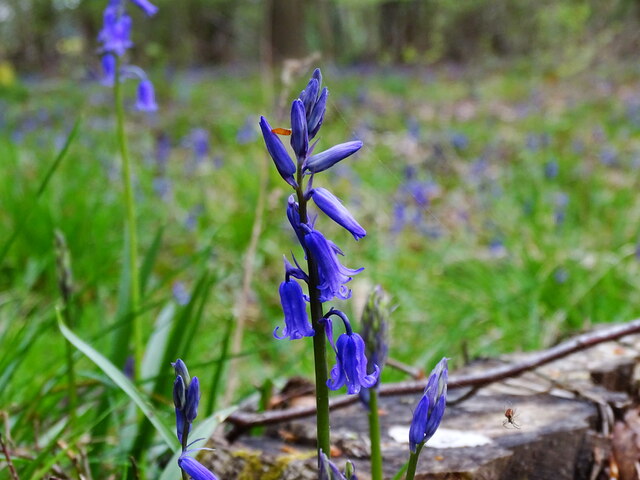
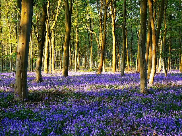
Throughout the year, Sicily Clump showcases the changing seasons, with vibrant displays of spring blossoms, lush greenery in the summer, breathtaking autumnal colors, and frost-covered landscapes in the winter. This makes it a must-visit destination for photographers and nature enthusiasts looking to capture the beauty of the British countryside.
As a protected woodland area, Sicily Clump is managed by local authorities to preserve its natural integrity and promote sustainable tourism. With its stunning scenery and peaceful ambiance, Sicily Clump offers visitors a chance to escape the hustle and bustle of everyday life and reconnect with nature in a truly idyllic setting.
If you have any feedback on the listing, please let us know in the comments section below.
Sicily Clump Images
Images are sourced within 2km of 51.391857/-1.634265 or Grid Reference SU2565. Thanks to Geograph Open Source API. All images are credited.

Sicily Clump is located at Grid Ref: SU2565 (Lat: 51.391857, Lng: -1.634265)
Unitary Authority: Wiltshire
Police Authority: Wiltshire
What 3 Words
///slippers.depth.puppy. Near Great Bedwyn, Wiltshire
Nearby Locations
Related Wikis

Hawtreys
Hawtreys Preparatory School was a private boys' preparatory school in England, first established in Slough, later moved to Westgate-on-Sea, then to Oswestry...

Tottenham House
Tottenham House is a large Grade I listed English country house in the parish of Great Bedwyn, Wiltshire, about five miles southeast of the town of Marlborough...
Chisbury
Chisbury is a hamlet and prehistoric hill fort in the civil parish of Little Bedwyn in Wiltshire, England. Chisbury is about 4 miles (6 km) west of Hungerford...
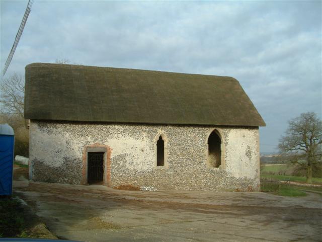
St Martin's Chapel, Chisbury
St Martin's Chapel, Chisbury is a mediaeval former chapel next to the manor house in the hamlet of Chisbury, in Little Bedwyn parish in the east of Wiltshire...

Great Bedwyn
Great Bedwyn is a village and civil parish in east Wiltshire, England. The village is on the River Dun about 4.5 miles (7.2 km) southwest of Hungerford...
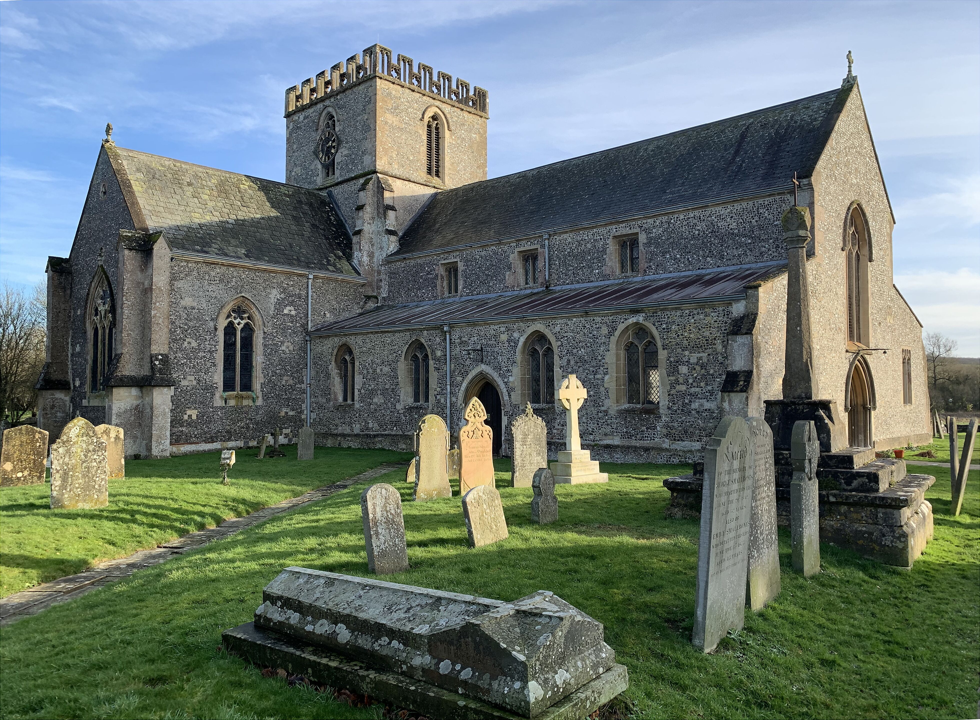
St Mary's Church, Great Bedwyn
The Church of Saint Mary the Virgin is the parish church of Great Bedwyn, Wiltshire, England, and a Grade I listed building. The church was built in the...

Bedwyn railway station
Bedwyn railway station serves the village of Great Bedwyn in Wiltshire, England. It is 66 miles 33 chains (66.41 mi; 106.9 km) from the zero point at London...

Bedwyn Church Lock
Bedwyn Church Lock is on the Kennet and Avon Canal at Great Bedwyn, Wiltshire, England. The lock has a rise/fall of 7 ft 11 in (2.41 m). It is a Grade...
Nearby Amenities
Located within 500m of 51.391857,-1.634265Have you been to Sicily Clump?
Leave your review of Sicily Clump below (or comments, questions and feedback).