Ashen Copse
Wood, Forest in Berkshire Vale of White Horse
England
Ashen Copse

The requested URL returned error: 429 Too Many Requests
If you have any feedback on the listing, please let us know in the comments section below.
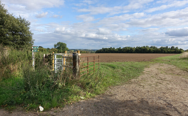
Ashen Copse Images
Images are sourced within 2km of 51.636278/-1.6388494 or Grid Reference SU2593. Thanks to Geograph Open Source API. All images are credited.


Ashen Copse is located at Grid Ref: SU2593 (Lat: 51.636278, Lng: -1.6388494)
Administrative County: Oxfordshire
District: Vale of White Horse
Police Authority: Thames Valley
What 3 Words
///quoted.reveal.warnings. Near Faringdon, Oxfordshire
Nearby Locations
Related Wikis
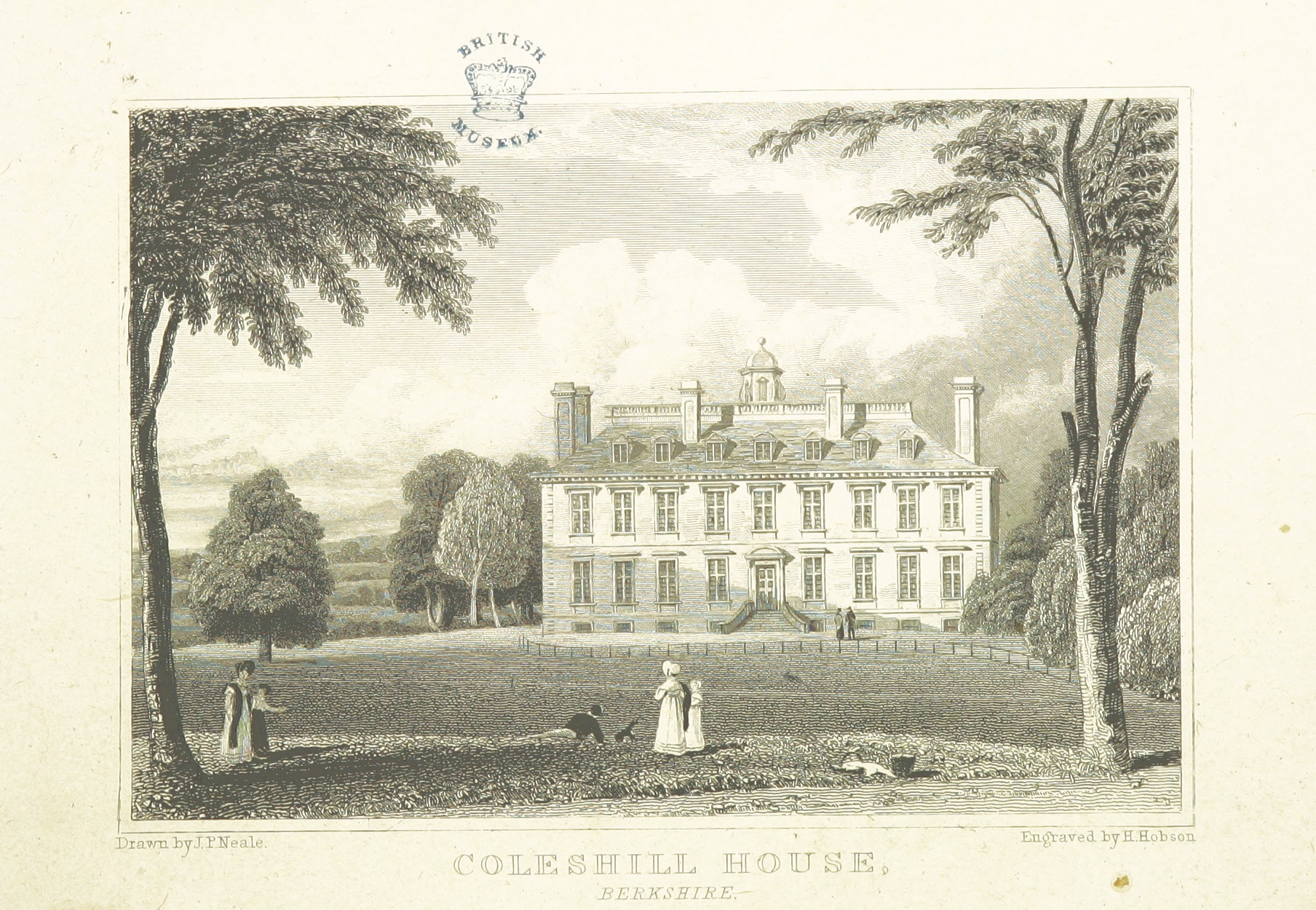
Coleshill House
Coleshill House was a country house in England, near the village of Coleshill, in the Vale of White Horse. Historically, the house was in Berkshire but...
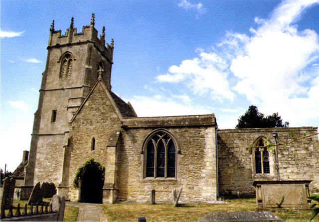
Coleshill, Oxfordshire
Coleshill is a village and civil parish in the Vale of White Horse district of Oxfordshire, England. Coleshill was part of Berkshire until the 1974 boundary...

Badbury Hill
Badbury Hill is a hill in the civil parish of Great Coxwell near Faringdon in the English county of Oxfordshire. In 1974 it was transferred from Berkshire...

Westmill Wind Farm Co-operative
Westmill Wind Farm Co-operative Ltd is a community-owned Industrial and Provident Society that owns 100% of the Westmill Wind Farm which is an onshore...
Have you been to Ashen Copse?
Leave your review of Ashen Copse below (or comments, questions and feedback).