Common Brae Plantation

Wood, Forest in Yorkshire Harrogate

England

Common Brae Plantation

High Grantley, North Yorkshire
High Grantley, North Yorkshire Credit: Ian S

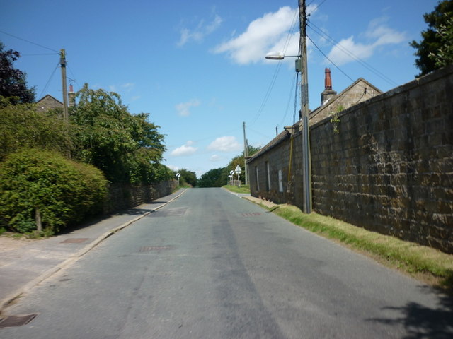
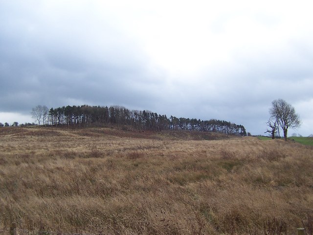
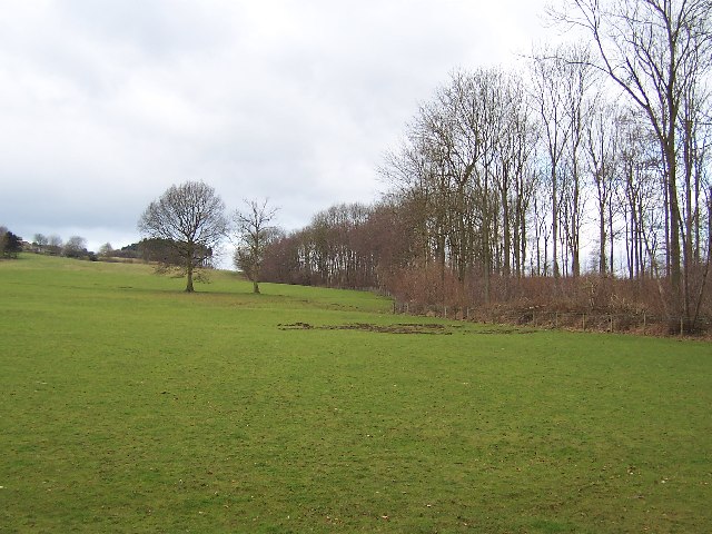
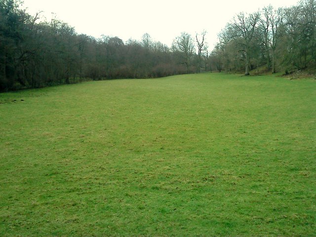
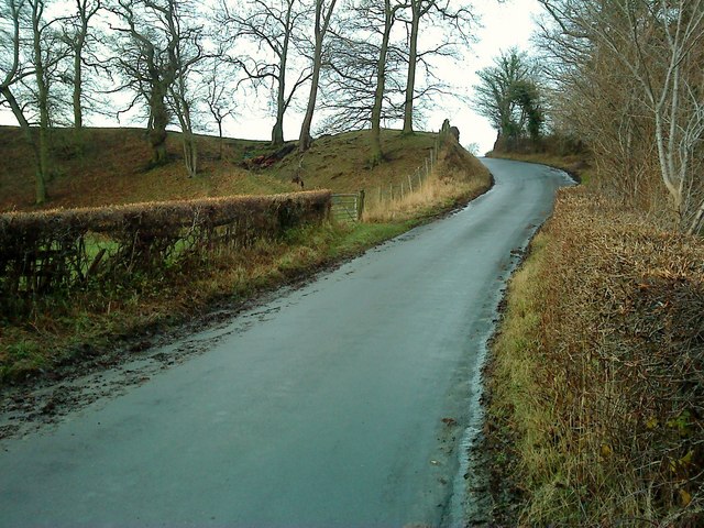
Common Brae Plantation is a picturesque woodland located in Yorkshire, England. Situated in the heart of the rolling countryside, this enchanting forest covers a vast area of land and is a haven for nature enthusiasts and outdoor adventurers alike.

The plantation is predominantly composed of a diverse array of trees, including oak, beech, and birch, which create a dense and vibrant canopy overhead. This rich tapestry of flora provides a habitat for a variety of wildlife species, making it a popular spot for birdwatching and nature photography.

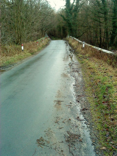
Tranquil walking trails meander through the plantation, allowing visitors to immerse themselves in the natural beauty of the area. The paths wind through the forest, leading to hidden clearings and bubbling brooks that add to the charm of the surroundings. It offers a serene environment for those seeking a peaceful retreat from the hustle and bustle of everyday life.

Moreover, Common Brae Plantation is also of historical significance. It has been a part of the local landscape for centuries, with records dating back to the medieval period. The woodland has witnessed numerous events and has played a crucial role in the lives of the surrounding communities.

For those with a sense of adventure, the plantation offers opportunities for outdoor activities such as camping, picnicking, and orienteering. The well-maintained facilities and picnic areas make it an ideal destination for families and groups of friends to enjoy a day out in nature.

In conclusion, Common Brae Plantation in Yorkshire is a captivating woodland that combines natural beauty, historical significance, and opportunities for outdoor recreation. It is a cherished gem of the region, attracting visitors from far and wide to experience its tranquil charm.

If you have any feedback on the listing, please let us know in the comments section below.

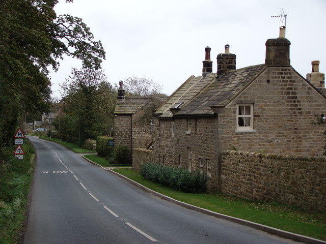
Common Brae Plantation Images

Images are sourced within 2km of 54.118617/-1.6231567 or Grid Reference SE2469. Thanks to Geograph Open Source API. All images are credited.

High Grantley, North Yorkshire
Winksley, St Cuthbert and St Oswald church The benchmark is cut into the 2nd course of stone at the rear of the church.
Winksley, St Cuthbert and St Oswald church
The benchmark is cut into the 2nd course of stone at the rear of the church.
Winksley, St Cuthbert and St Oswald There is a benchmark cut into the 2nd course of stone at the rear of the church, on the buttress to the left of the furthest left window.
Winksley, St Cuthbert and St Oswald
There is a benchmark cut into the 2nd course of stone at the rear of the church, on the buttress to the left of the furthest left window.
Grantley, gatepost The righthand gatepost to this property has a clear benchmark cut about 1 foot above ground.
Grantley, gatepost
The righthand gatepost to this property has a clear benchmark cut about 1 foot above ground.
Grantley, gatepost The righthand gatepost to this property has a clear benchmark cut about 1 foot above ground.
Grantley, gatepost
The righthand gatepost to this property has a clear benchmark cut about 1 foot above ground.
Descent from High Grantley Looking along the road leading towards Kirkby Malzeard.
Descent from High Grantley
Looking along the road leading towards Kirkby Malzeard.
Road towards High Grantley Looking up the hill towards the village.
Road towards High Grantley
Looking up the hill towards the village.
Plantation remnants near Winksley The map I was using indicated that this area should have been covered with trees - as can be seen there are not many left. This is about half a mile south of the village of Winksley
Plantation remnants near Winksley
The map I was using indicated that this area should have been covered with trees - as can be seen there are not many left. This is about half a mile south of the village of Winksley
Southern part of Winksley Plantation Pleasant woodlands not far from Fountains Abbey
Southern part of Winksley Plantation
Pleasant woodlands not far from Fountains Abbey
Hencliffe Farm Part of the complex that makes up this farming venture in Low Grantley
Hencliffe Farm
Part of the complex that makes up this farming venture in Low Grantley
Holborn Beck Looking upstream from the bridleway that crosses this watercourse, from Low Grantley to Winksley
Holborn Beck
Looking upstream from the bridleway that crosses this watercourse, from Low Grantley to Winksley
Low Grantley Small and scattered community between Nidderdale and Lower Wensleydale
Low Grantley
Small and scattered community between Nidderdale and Lower Wensleydale
Fields between Grantley and Low Grantley Following a footpath from Grantley (formerly High Grantley) through fields to the hamlet of Low Grantley.
Fields between Grantley and Low Grantley
Following a footpath from Grantley (formerly High Grantley) through fields to the hamlet of Low Grantley.
Path down to Holborn Beck Following the footpath down to Holborn Beck from Low Grantley en route for Winksley
Path down to Holborn Beck
Following the footpath down to Holborn Beck from Low Grantley en route for Winksley
Winksley Bridge Carries the lane from Winksley village to Gate Bridge Road over the River Laver
Winksley Bridge
Carries the lane from Winksley village to Gate Bridge Road over the River Laver
Fountains Gate Lane Fountains Gate crosses the River Laver.
Fountains Gate Lane
Fountains Gate crosses the River Laver.
Laver Valley An open field, in a prodominantly wooded valley.
Laver Valley
An open field, in a prodominantly wooded valley.
Fountains Gate: Old & New Fountains Gate is an ancient route from Winksley to Fountains Abbey. Here on the valleyside can be seen an old holloway to the left of the tarmac road.
Fountains Gate: Old & New
Fountains Gate is an ancient route from Winksley to Fountains Abbey. Here on the valleyside can be seen an old holloway to the left of the tarmac road.
Show me another place!

Common Brae Plantation is located at Grid Ref: SE2469 (Lat: 54.118617, Lng: -1.6231567)

Division: West Riding

Administrative County: North Yorkshire

District: Harrogate

Police Authority: North Yorkshire

What 3 Words

///trades.crackles.presented. Near Ripon, North Yorkshire

Related Wikis

Ripon and Pateley Bridge Rural District

Ripon and Pateley Bridge was a rural district in the West Riding of Yorkshire, England from 1937 to 1974. It was created in 1937 by a County Review Order...

Risplith

Risplith is a village in the civil parish of Sawley, in the Harrogate district of North Yorkshire, England. It is about 4 miles (6.4 km) west of Ripon...

Grantley Hall

Grantley Hall is an English country house located in North Yorkshire, England. It is situated near Grantley, about 5 miles (8 km) to the west of Ripon...

Sawley, North Yorkshire

Sawley is a village and civil parish in the Harrogate district of North Yorkshire, England. It is about 4 miles (6.4 km) west of Ripon. From this position...

Aldfield

Aldfield is a village and civil parish in the former Harrogate district of North Yorkshire, England, about three miles west of Ripon. It is the closest...

Grantley, North Yorkshire

Grantley is a village (also known as High Grantley) and civil parish in North Yorkshire, England. It lies 5 miles (8 km) west of Ripon. The parish also...

Winksley

Winksley is a small village and civil parish in the district of Harrogate, North Yorkshire, England. It is situated west of Ripon, and is on the River...

Eavestone

Eavestone is a hamlet and civil parish in the Harrogate district of North Yorkshire, England. It is situated near Brimham Rocks, 3 miles (4.8 km) east...

Nearby Amenities

Located within 500m of 54.118617,-1.6231567
Building: yes
Lat/Long: 54.1146534/-1.6213564
Barrier: yes
Lat/Long: 54.1146743/-1.6220153
Artwork Type: sculpture
Material: steel
Tourism: artwork
Lat/Long: 54.1190145/-1.6291996
Natural: shrub
Lat/Long: 54.1190684/-1.6292192
Natural: shrub
Lat/Long: 54.1190478/-1.6291305
Natural: shrub
Lat/Long: 54.1189938/-1.6291106
Natural: shrub
Lat/Long: 54.1190273/-1.6292927
Natural: shrub
Lat/Long: 54.1189753/-1.6292694
Natural: shrub
Lat/Long: 54.1189568/-1.6291748
Bench
Backrest: no
Lat/Long: 54.1188765/-1.6296483
Bench
Backrest: no
Lat/Long: 54.118986/-1.6298105
Bench
Backrest: no
Lat/Long: 54.1188314/-1.6302004
Official Entrance to Grantley Hall
Lat/Long: 54.1189451/-1.6204443
Grantley Hall helipad
Aeroway: helipad
Surface: grass
Lat/Long: 54.1194732/-1.6292011
The data included in this document is from www.openstreetmap.org. The data is made available under ODbL.

Have you been to Common Brae Plantation?

Leave your review of Common Brae Plantation below (or comments, questions and feedback).