Binsoe Wood
Wood, Forest in Yorkshire Hambleton
England
Binsoe Wood
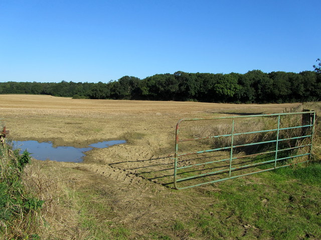
Binsoe Wood is a picturesque woodland located in the county of Yorkshire, England. Spread across an area of approximately 500 acres, it is highly regarded for its natural beauty and ecological significance. The wood is situated in the southern part of the county, near the town of Thirsk, and forms part of the larger North York Moors National Park.
Binsoe Wood is predominantly composed of deciduous trees, including oak, beech, ash, and birch, which create a diverse and vibrant canopy throughout the year. The wood is known for its rich biodiversity, providing a habitat for a wide array of flora and fauna. Birdwatchers can spot a variety of species, such as woodpeckers, owls, and songbirds, while nature enthusiasts can enjoy sightings of deer, foxes, and rabbits.
Visitors to Binsoe Wood can explore its numerous walking trails, which meander through the woodland and offer stunning views of the surrounding countryside. The wood is also crisscrossed by a network of streams and small waterfalls, adding to its natural charm. In spring, the forest floor is carpeted with bluebells and other wildflowers, creating a breathtaking spectacle.
Binsoe Wood is a popular destination for outdoor activities, including hiking, picnicking, and wildlife photography. The serene atmosphere and tranquil surroundings make it an ideal spot for relaxation and reconnecting with nature. The wood is easily accessible by car, with parking facilities available nearby. Whether you're a nature lover or simply seeking a peaceful retreat, Binsoe Wood offers an enchanting escape into the heart of Yorkshire's natural beauty.
If you have any feedback on the listing, please let us know in the comments section below.
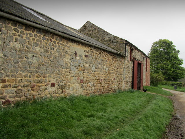
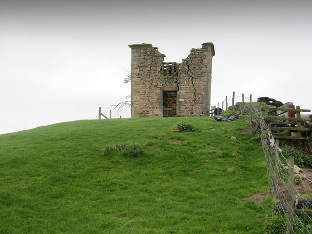
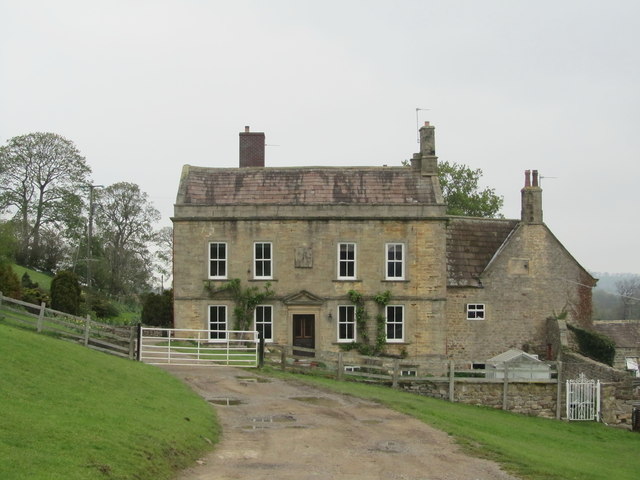
Binsoe Wood Images
Images are sourced within 2km of 54.215133/-1.6229693 or Grid Reference SE2479. Thanks to Geograph Open Source API. All images are credited.


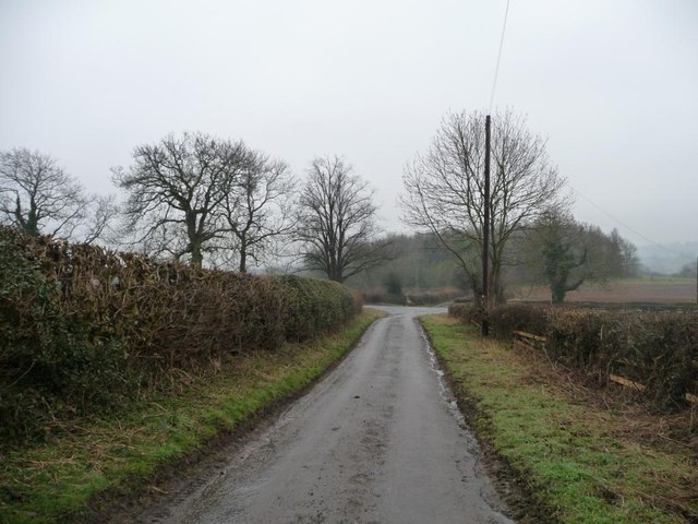
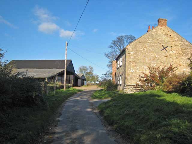
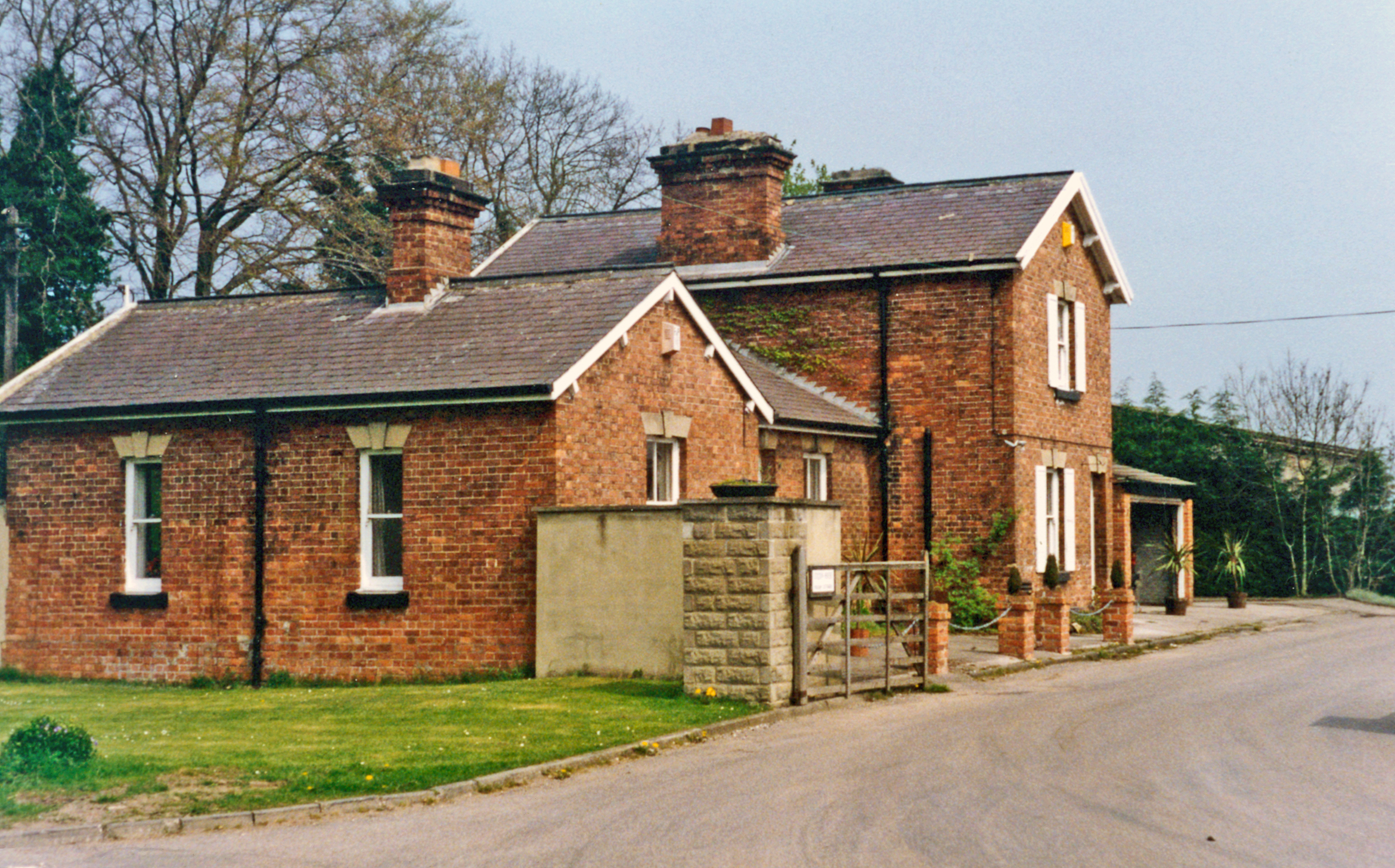
![Road junction, Binsoe Park Lane coming in across the grass from the right [south-east]. Thiefgate Lane straight ahead [north-west] and Binsoe Lane running across. Unseen is a fifth lane west to Binsoe Hill Farm.](https://s1.geograph.org.uk/geophotos/03/37/01/3370177_3105f7f8.jpg)

Binsoe Wood is located at Grid Ref: SE2479 (Lat: 54.215133, Lng: -1.6229693)
Division: North Riding
Administrative County: North Yorkshire
District: Hambleton
Police Authority: North Yorkshire
What 3 Words
///sized.node.shark. Near Masham, North Yorkshire
Nearby Locations
Related Wikis
Binsoe
Binsoe is a hamlet in the civil parish of West Tanfield, North Yorkshire, England. The hamlet is just to the north of the A6108 road, being 1.25 miles...

Burton-on-Yore
Burton-on-Yore (historically also Burton upon Ure) is a civil parish in the Harrogate district of North Yorkshire, England, facing Masham across the River...
Masham railway station
Masham railway station was the terminus of the Melmerby to Masham branch line serving the town of Masham in North Yorkshire, England. It was on the eastern...

Church of St Mary the Virgin, Masham
The Church of St Mary the Virgin, Masham (also known as the Church of St Mary or St Mary's Church), is the parish church in the town of Masham, North Yorkshire...
Masham
Masham ( MASS-əm) is a market town and civil parish in North Yorkshire, England. It had a population of 1,205 at the 2011 census. == Etymology == In Wensleydale...
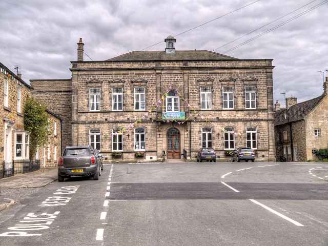
Masham Town Hall
Masham Town Hall is a municipal building in the Little Market Place, Masham, North Yorkshire, England. The structure, which is used as an events venue...
Tanfield railway station
Tanfield railway station was a railway station serving the community of West Tanfield on the Masham Line in North Yorkshire, England. The station was opened...
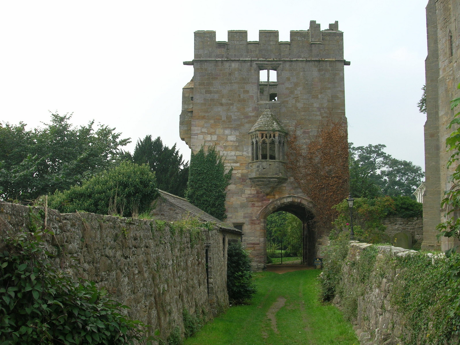
Marmion Tower
Marmion Tower, also known historically as Tanfield Castle, is a 15th-century gatehouse near the village of West Tanfield in North Yorkshire, England. It...
Nearby Amenities
Located within 500m of 54.215133,-1.6229693Have you been to Binsoe Wood?
Leave your review of Binsoe Wood below (or comments, questions and feedback).