Holly Copse
Wood, Forest in Wiltshire
England
Holly Copse
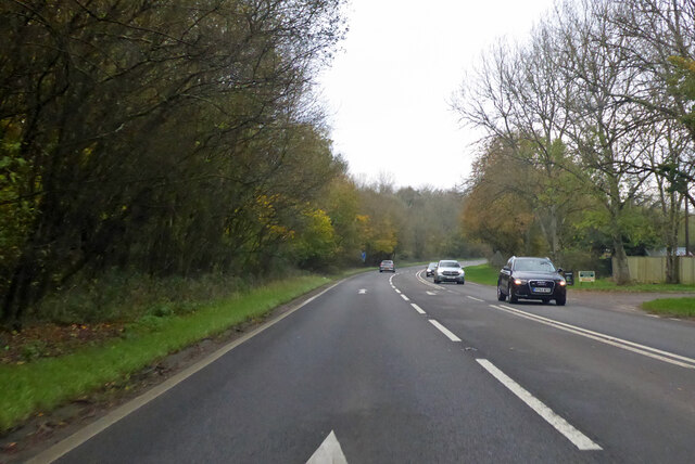
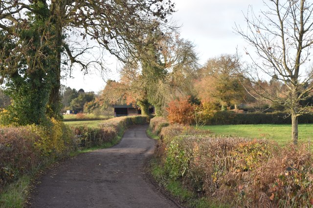
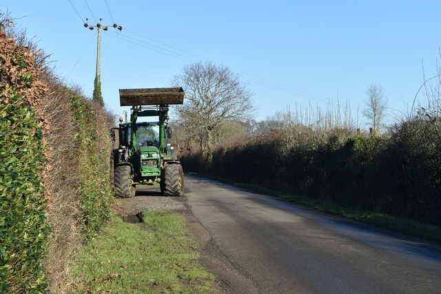
Holly Copse is a small woodland area located in the county of Wiltshire, England. Situated in the southern part of the county, it is nestled between the towns of Salisbury and Amesbury. Covering an area of approximately 20 acres, Holly Copse is known for its dense population of holly trees, which give the woodland its name.
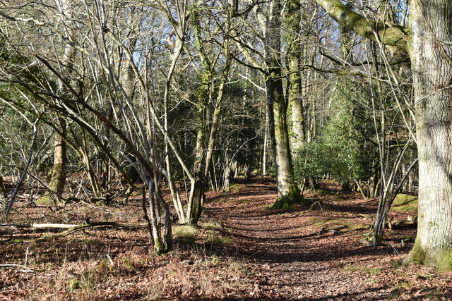
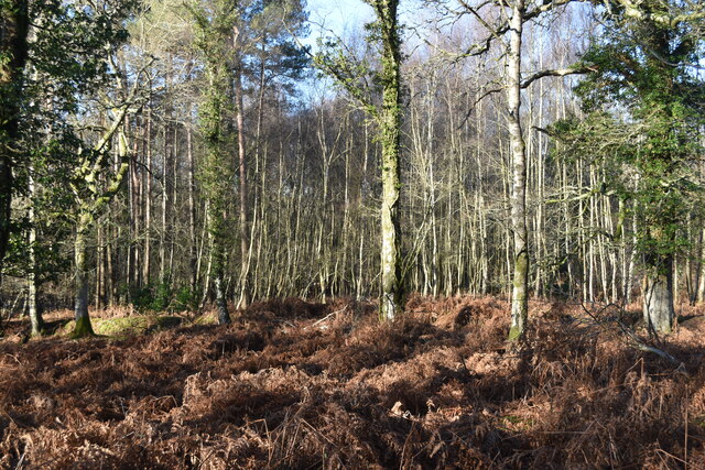
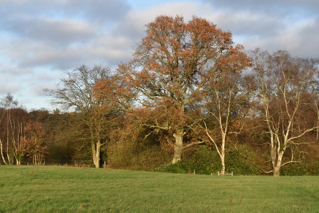
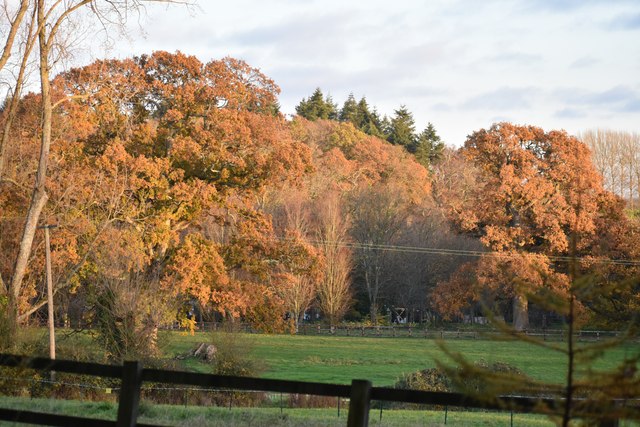
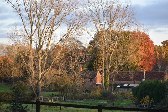
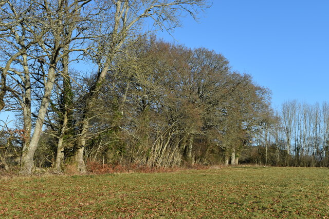
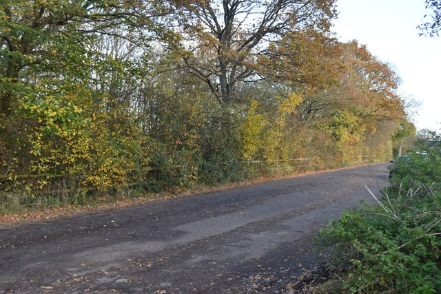
The copse is composed mainly of deciduous trees, with oak, beech, and ash being the most prevalent species. The holly trees, however, are the highlight of the woodland, with their glossy, spiky leaves and vibrant red berries, providing a striking contrast to the surrounding greenery. These holly trees are particularly cherished during the winter months, when their evergreen foliage adds a touch of festive cheer to the landscape.
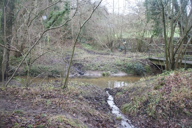
Holly Copse is home to a variety of wildlife, including songbirds, woodpeckers, and small mammals such as squirrels and hedgehogs. The woodland provides a vital habitat for these creatures, offering a rich source of food and shelter.
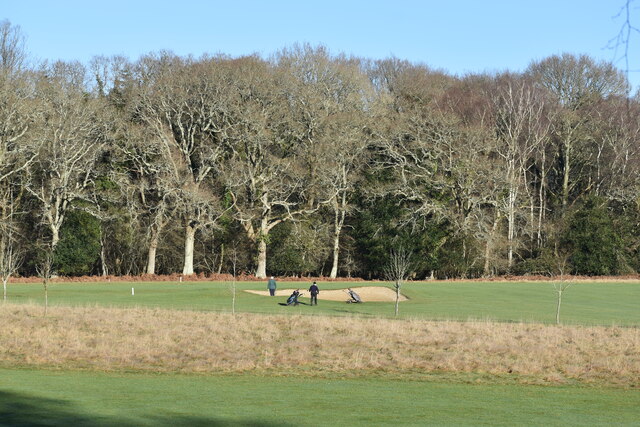
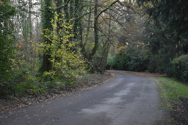
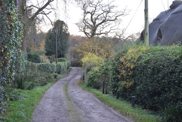
The copse is a popular destination for nature enthusiasts and walkers, who can explore the well-maintained footpaths that wind through the trees. These paths allow visitors to immerse themselves in the tranquility of the woodland, taking in the sights and sounds of nature.
Overall, Holly Copse is a picturesque woodland area in Wiltshire, known for its abundance of holly trees and diverse wildlife. It offers a peaceful retreat for those seeking solace in nature, providing a haven for both flora and fauna alike.
If you have any feedback on the listing, please let us know in the comments section below.
Holly Copse Images
Images are sourced within 2km of 50.984427/-1.6537423 or Grid Reference SU2420. Thanks to Geograph Open Source API. All images are credited.


Holly Copse is located at Grid Ref: SU2420 (Lat: 50.984427, Lng: -1.6537423)
Unitary Authority: Wiltshire
Police Authority: Wiltshire
What 3 Words
///wobbling.syndicate.hatter. Near Whiteparish, Wiltshire
Nearby Locations
Related Wikis
Hamptworth
Hamptworth is a hamlet in Wiltshire, England, in the extreme southeast of the county. It is in the civil parish of Landford, and lies within the boundaries...

Langley Wood and Homan's Copse
Langley Wood and Homan's Copse (grid reference SU230206) is a 219.28 hectare biological Site of Special Scientific Interest in Wiltshire, notified in 1985...
Landford Manor
Landford Manor is a Grade II* listed house in Stock Lane, Landford, Wiltshire, England. It dates from around 1600, the south wing from around 1680, with...

Landford
Landford is a village and civil parish 10 miles (16 km) southeast of Salisbury in Wiltshire, England. To the south and east of the parish is the county...

Landford Bog
Landford Bog (grid reference SU259185) is an 11.6 hectare biological Site of Special Scientific Interest at Landford in southeast Wiltshire, England. It...
Whiteparish Common
Whiteparish Common (grid reference SU255233) is a 64.5 hectare biological Site of Special Scientific Interest near Whiteparish, Wiltshire, England, notified...

Whiteparish
Whiteparish is a village and civil parish on the A27 about 7.5 miles (12.1 km) southeast of Salisbury in Wiltshire, England. The village is about 1.5...

Loosehanger Copse and Meadows
Loosehanger Copse and Meadows (grid reference SU215195) is a 56.27 hectare biological Site of Special Scientific Interest in Wiltshire, England, notified...
Nearby Amenities
Located within 500m of 50.984427,-1.6537423Have you been to Holly Copse?
Leave your review of Holly Copse below (or comments, questions and feedback).