Bagden Bank Wood
Wood, Forest in Yorkshire
England
Bagden Bank Wood
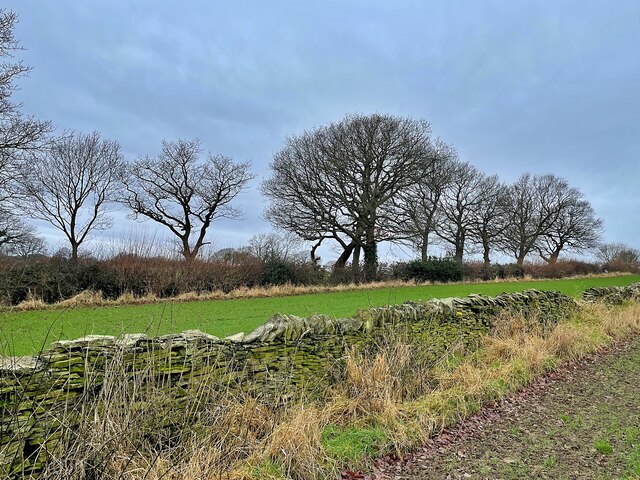
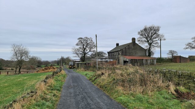
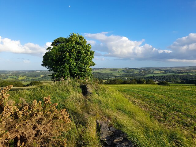
Bagden Bank Wood is a picturesque woodland located in Yorkshire, England. Covering an area of approximately 50 acres, this ancient forest is nestled within the scenic countryside and offers visitors a tranquil escape from the hustle and bustle of city life.
The wood is primarily composed of native tree species such as oak, birch, and beech, which create a dense canopy overhead. The forest floor is adorned with a rich tapestry of wildflowers, including bluebells and primroses, adding bursts of color to the landscape during springtime.
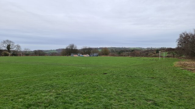
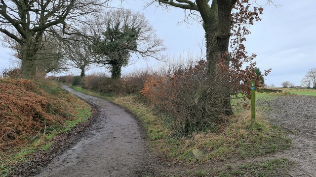
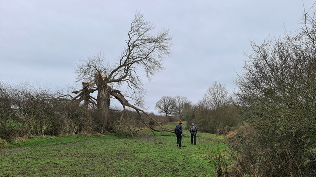
A network of well-maintained footpaths winds through the wood, providing visitors with the opportunity to explore its natural beauty. As they meander through the forest, visitors may encounter a variety of wildlife, including deer, rabbits, and a diverse range of bird species.
Bagden Bank Wood is also home to a small pond, which acts as a peaceful haven for various aquatic creatures. The presence of the pond attracts a variety of dragonflies and damselflies, making it a popular spot for nature enthusiasts and photographers.
The wood is managed by a local conservation group, ensuring the preservation of its natural habitat and promoting biodiversity. Regular maintenance activities, such as tree thinning and invasive species control, are carried out to maintain the health of the woodland ecosystem.
Overall, Bagden Bank Wood offers visitors a serene and enchanting experience in the heart of Yorkshire's countryside. Its diverse flora and fauna, coupled with its well-maintained footpaths, make it a popular destination for nature lovers and those seeking a peaceful retreat in nature.
If you have any feedback on the listing, please let us know in the comments section below.
Bagden Bank Wood Images
Images are sourced within 2km of 53.584091/-1.6329544 or Grid Reference SE2409. Thanks to Geograph Open Source API. All images are credited.


Bagden Bank Wood is located at Grid Ref: SE2409 (Lat: 53.584091, Lng: -1.6329544)
Division: West Riding
Unitary Authority: Kirklees
Police Authority: West Yorkshire
What 3 Words
///sulky.fortress.belief. Near Clayton West, West Yorkshire
Nearby Locations
Related Wikis
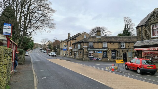
Scissett
Scissett is a village in West Yorkshire, England. It is 8 miles (13 km) south-east of Huddersfield and 10 miles (16 km) north-west of Barnsley. According...

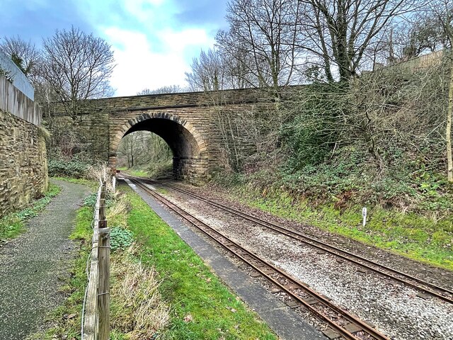
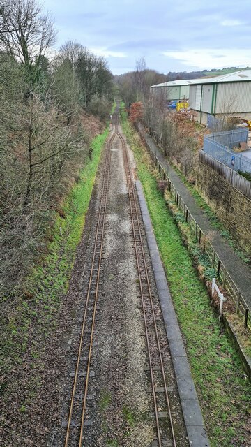
Clayton West branch line
The Clayton West branch line was a standard gauge passenger and freight railway near Huddersfield, in West Yorkshire, England. The line was built by the...

Cuckoos Nest railway station
Cuckoos Nest railway station is a station/halt on the Minimum Gauge Whistlestop Valley in West Yorkshire, Northern England. It also serves the village...
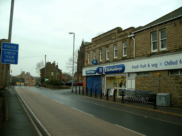
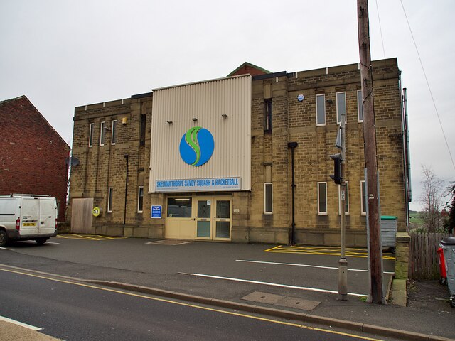
Skelmanthorpe
Skelmanthorpe is a village in the Denby Dale civil parish, in the metropolitan borough of Kirklees, in West Yorkshire, England. It is 8 miles (13 km)...
Skelmanthorpe railway station
Skelmanthorpe railway station is a station in West Yorkshire, England, that was previously part of the national rail network, and is now a station on the...

Clayton West
Clayton West is a village in the parish of Denby Dale, in Kirklees, West Yorkshire, England. It had a population of 4.386 (2021 census) and 2,704 in 2008...
Denby Dale
Denby Dale is a village and civil parish in the metropolitan borough of Kirklees in West Yorkshire, England. It is 10 miles (17 km) to the south-east of...

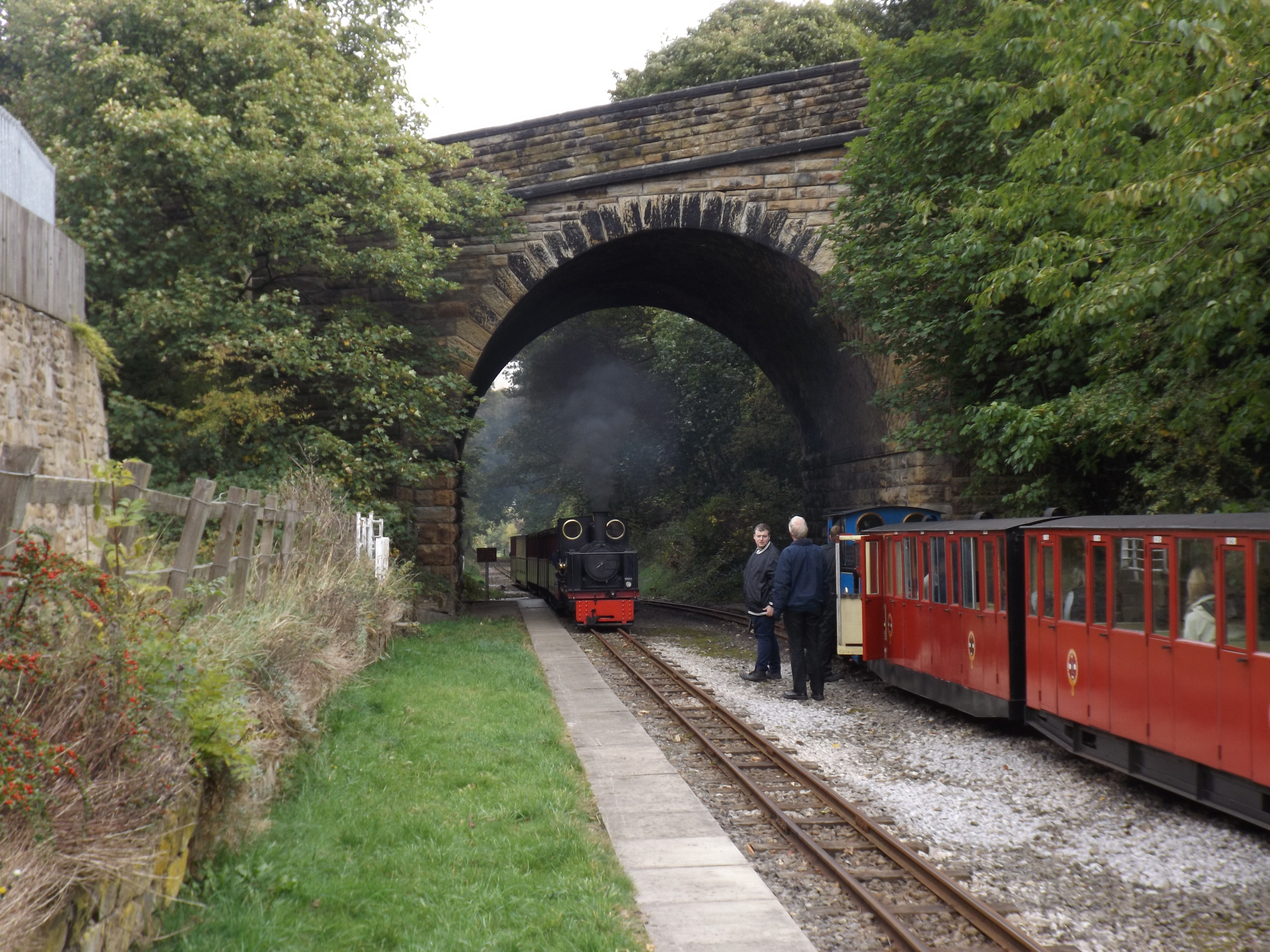
Whistlestop Valley
Whistlestop Valley, formerly the Kirklees Light Railway, is a visitor attraction featuring a 3+1⁄2-mile (5.6 km) long 15 in (381 mm) gauge minimum gauge...
Nearby Amenities
Located within 500m of 53.584091,-1.6329544Have you been to Bagden Bank Wood?
Leave your review of Bagden Bank Wood below (or comments, questions and feedback).