Black Plantation
Wood, Forest in Yorkshire Harrogate
England
Black Plantation
Black Plantation is a woodland area located in Yorkshire, England. Situated in a rural part of the county, it is part of the wider Forest of Yorkshire. The plantation covers an area of approximately 50 hectares and is characterized by its dense, dark tree cover, which gives it its name.
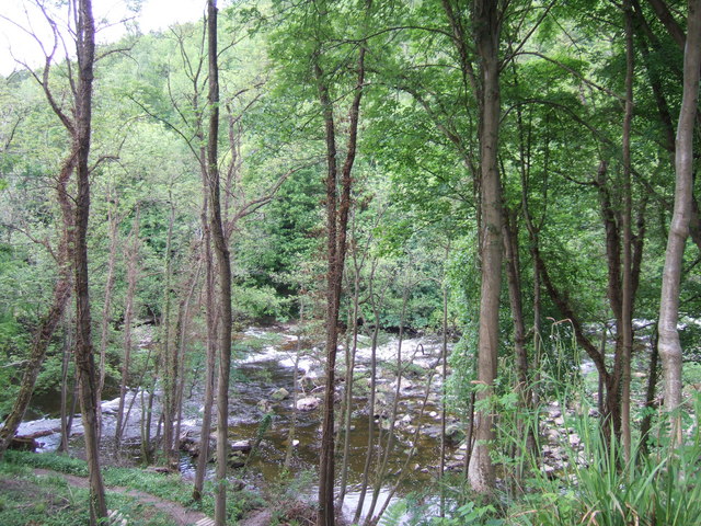
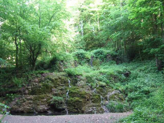
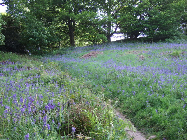
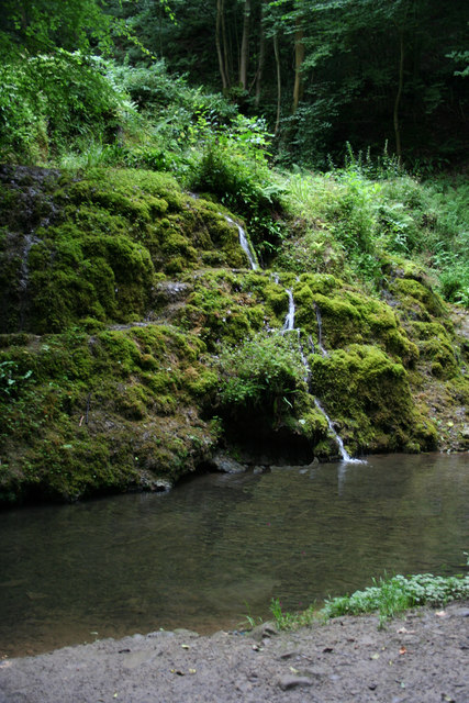
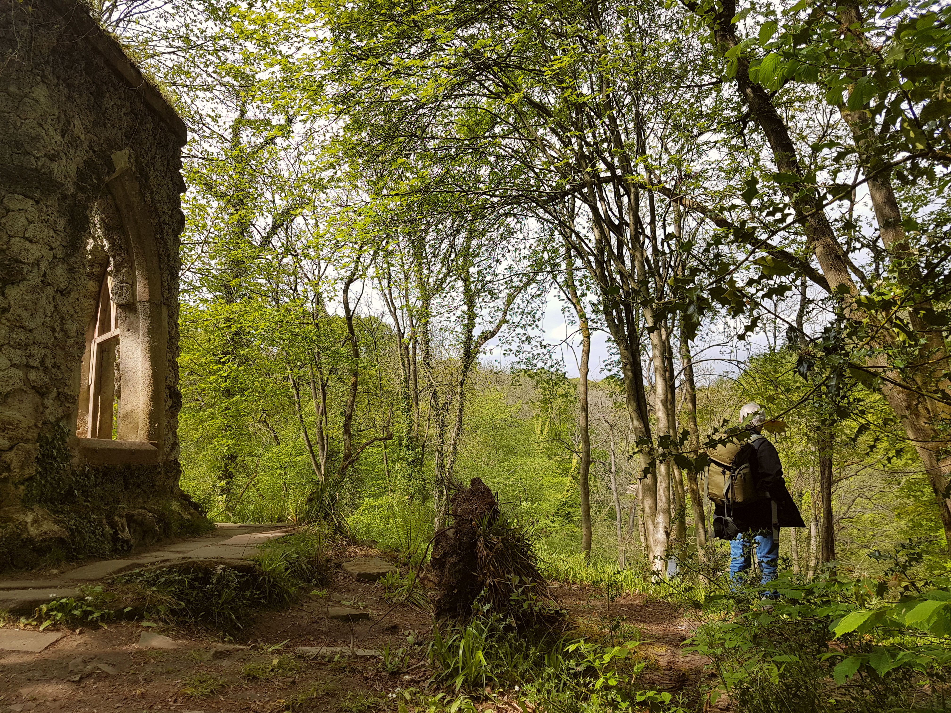
The woodland consists primarily of deciduous trees, including oak, beech, and birch, which create a rich and diverse habitat for a variety of flora and fauna. The forest floor is carpeted with a range of wildflowers, such as bluebells and primroses, adding to the natural beauty of the area.
Black Plantation is a popular destination for nature enthusiasts, walkers, and birdwatchers. The woodland's peaceful and tranquil ambiance provides an ideal setting for leisurely strolls and relaxation. The forest is home to a wide array of bird species, including woodpeckers, owls, and various songbirds, making it a haven for birdwatching enthusiasts.
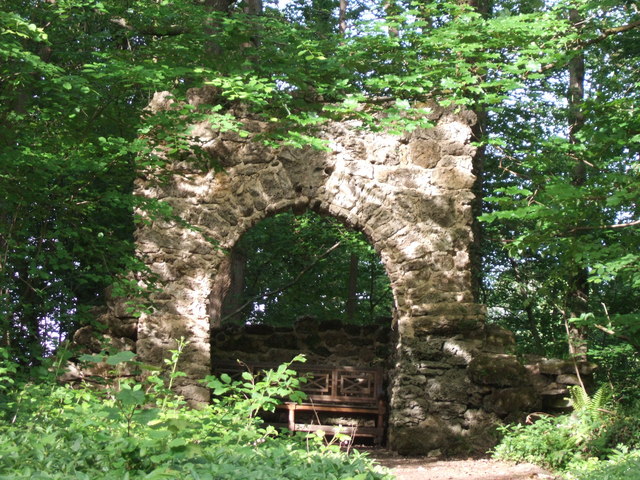
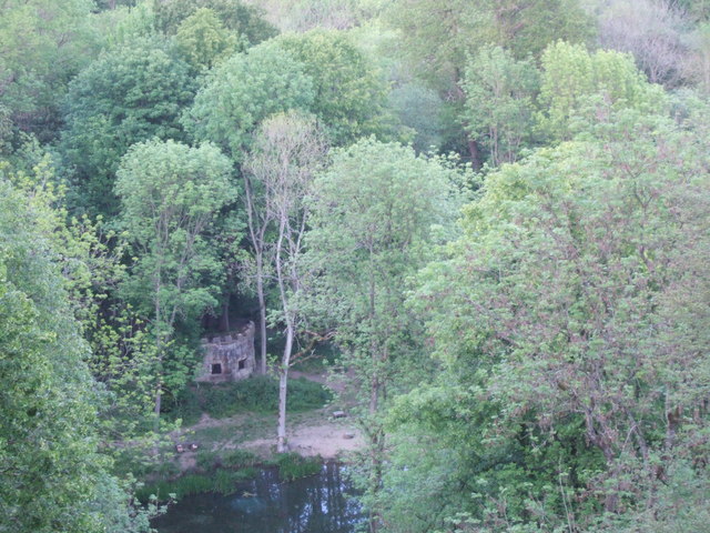
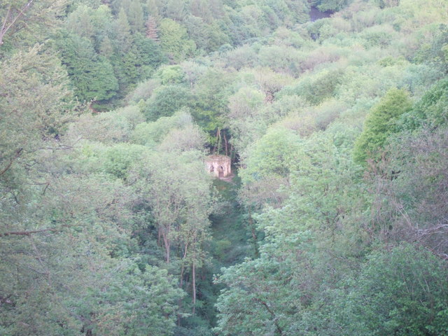
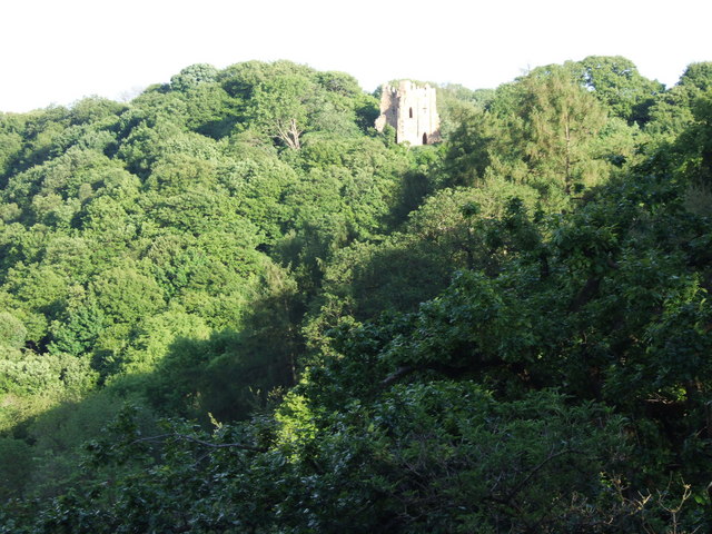
The plantation also holds historical significance, as it was once part of a larger estate during the medieval period. Some remnants of the old estate can still be found scattered throughout the woodland, adding an element of intrigue for history enthusiasts.
Access to Black Plantation is provided through a network of footpaths and trails that wind through the woodland, allowing visitors to explore its natural beauty at their own pace. The plantation is well-maintained, with occasional benches and picnic areas for visitors to take a break and enjoy the surroundings.
Overall, Black Plantation offers a peaceful retreat in the heart of Yorkshire, providing visitors with the opportunity to immerse themselves in the beauty of nature and experience the tranquility of a traditional English woodland.
If you have any feedback on the listing, please let us know in the comments section below.
Black Plantation Images
Images are sourced within 2km of 54.184414/-1.6344498 or Grid Reference SE2376. Thanks to Geograph Open Source API. All images are credited.


Black Plantation is located at Grid Ref: SE2376 (Lat: 54.184414, Lng: -1.6344498)
Division: West Riding
Administrative County: North Yorkshire
District: Harrogate
Police Authority: North Yorkshire
What 3 Words
///vent.intensely.division. Near Masham, North Yorkshire
Nearby Locations
Related Wikis
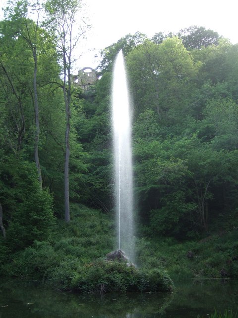
Hack Fall Wood
Hack Fall Wood, otherwise known as Hackfall, is a Site of Special Scientific Interest, or SSSI, of 44.8687 hectares (0.4487 km2; 0.1732 sq mi), lying north...

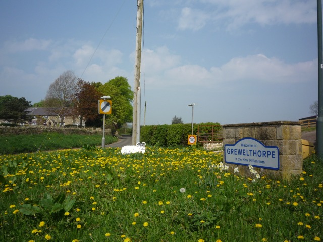
Grewelthorpe
Grewelthorpe is a village and civil parish in the Harrogate district of North Yorkshire, England situated 3 miles (5 km) south of Masham and 6.2 miles...
Mickley, North Yorkshire
Mickley is a village in the Harrogate District of North Yorkshire, England. The village is on the south bank of the River Ure between Masham and West Tanfield...

Kirkby Malzeard
Kirkby Malzeard () is a village and civil parish in the Harrogate district of North Yorkshire, England. There has been a creamery in the village making...
Nearby Amenities
Located within 500m of 54.184414,-1.6344498Have you been to Black Plantation?
Leave your review of Black Plantation below (or comments, questions and feedback).