Palefield Coppice
Wood, Forest in Warwickshire Warwick
England
Palefield Coppice
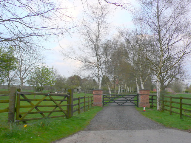
Palefield Coppice is a picturesque woodland located in the county of Warwickshire, England. Spread across an area of approximately 100 acres, it is a significant natural asset within the region. The coppice is situated near the village of Palefield, allowing easy access for visitors from nearby towns and villages.
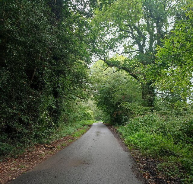
The woodland is predominantly composed of mature deciduous trees, including oak, beech, and ash, which provide a rich and diverse habitat for various flora and fauna. The dense canopy of foliage creates a tranquil and shady atmosphere, making it an ideal place for leisurely walks and nature exploration.
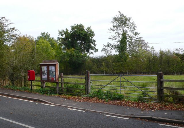
Palefield Coppice boasts a well-maintained network of footpaths that meander through the forest, offering visitors the opportunity to immerse themselves in the natural beauty of the area. These paths are suitable for individuals of all ages and abilities, making the woodland accessible to everyone.
The coppice is home to a wide range of wildlife, including birds, small mammals, and insects. Birdwatchers will delight in the chance to spot species such as woodpeckers, thrushes, and owls. The woodland also supports a diverse array of plant life, with bluebells and wild garlic carpeting the forest floor in the spring.
Visitors to Palefield Coppice can enjoy the serenity of nature, partake in birdwatching, or simply revel in the peaceful ambiance. The woodland offers an escape from the hustle and bustle of everyday life, providing a sanctuary for those seeking solace in the beauty of the natural world.
If you have any feedback on the listing, please let us know in the comments section below.
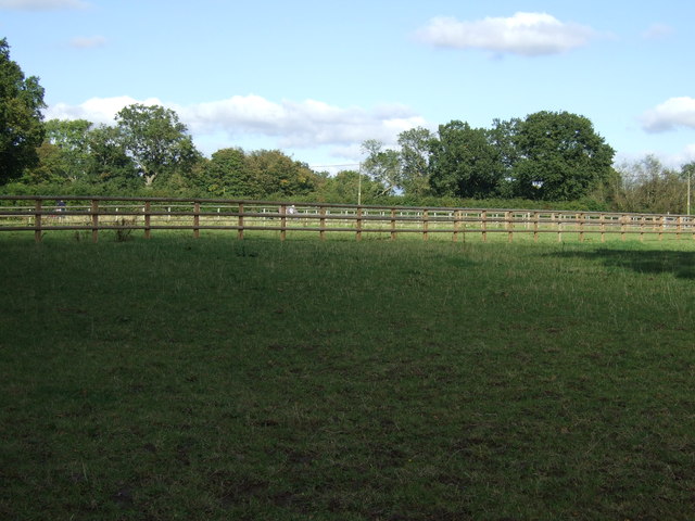
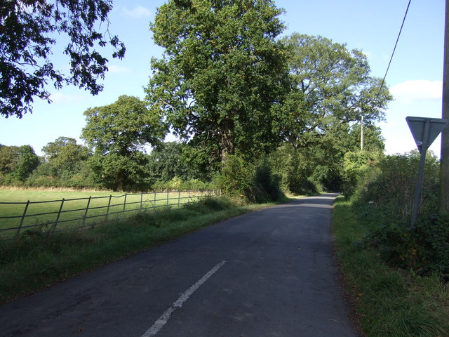
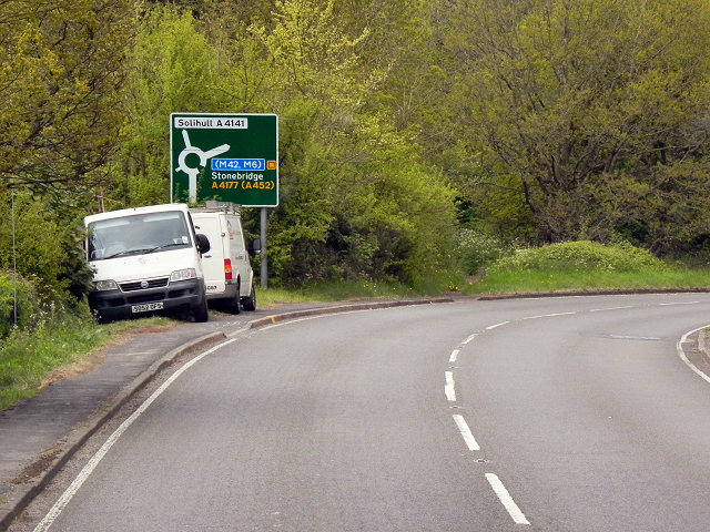
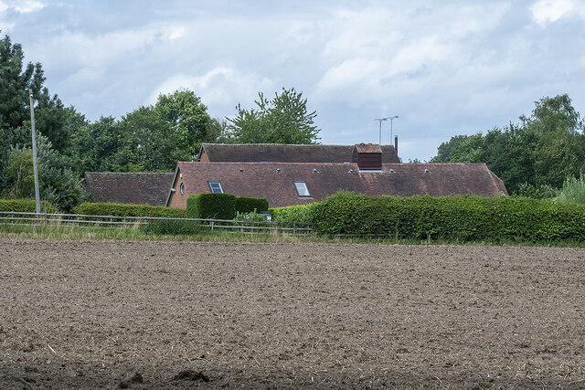
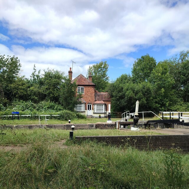
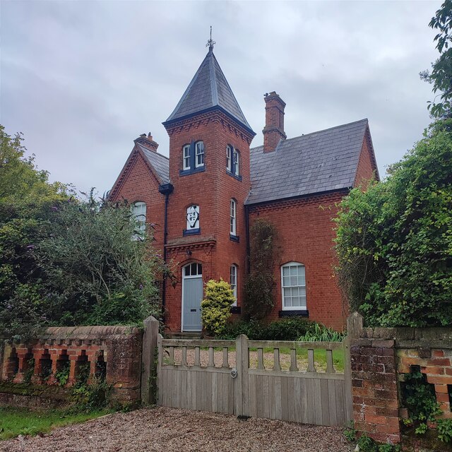
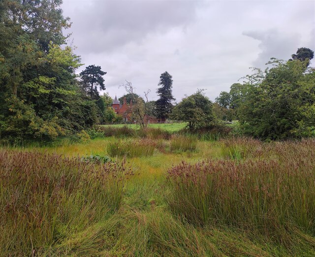
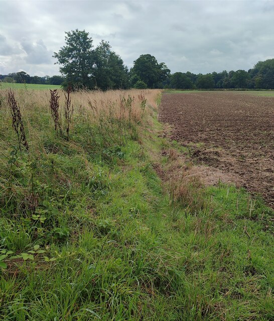
Palefield Coppice Images
Images are sourced within 2km of 52.31596/-1.6500409 or Grid Reference SP2368. Thanks to Geograph Open Source API. All images are credited.


Palefield Coppice is located at Grid Ref: SP2368 (Lat: 52.31596, Lng: -1.6500409)
Administrative County: Warwickshire
District: Warwick
Police Authority: Warwickshire
What 3 Words
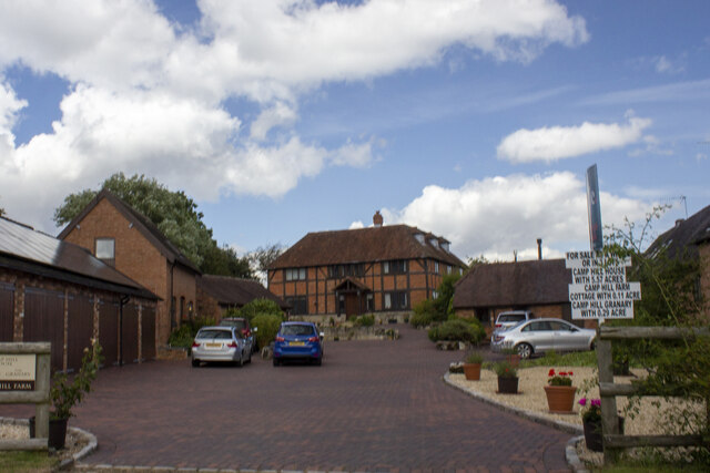
///parsnip.frown.reef. Near Hatton, Warwickshire
Nearby Locations
Related Wikis

Haseley
Haseley is a small village and former civil parish in Warwickshire, England. It is four miles north-west of the county town of Warwick and nine miles...

Beausale, Haseley, Honiley and Wroxall
Beausale, Haseley, Honiley and Wroxall is a civil parish in the Warwick District of Warwickshire, England. It was created in 2007 by the merger of the...

Hatton, Warwickshire
Hatton is a village and civil parish about 4 miles (6 km) west-northwest of Warwick, in the Warwick District of Warwickshire in England. The parish had...
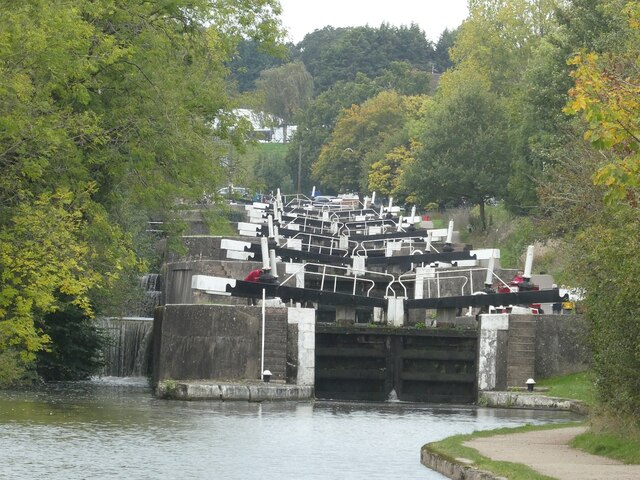
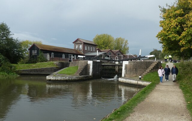
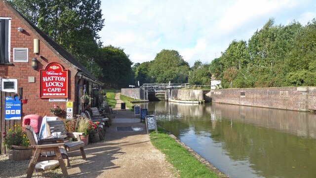
Hatton Locks
The Hatton Locks or Hatton Flight are a flight of 21 locks on the Grand Union Canal in Hatton, Warwickshire, England. The flight spans less than 2 miles...
Nearby Amenities
Located within 500m of 52.31596,-1.6500409Have you been to Palefield Coppice?
Leave your review of Palefield Coppice below (or comments, questions and feedback).